
Article

Detailed Landslide Traces Database of Hancheng County, China, Based on High-Resolution Satellite Images Available on the Google Earth Platform


1
National Institute of Natural Hazards, Ministry of Emergency Management of China, Beijing 100085, China
2
School of Engineering and Technology, China University of Geosciences (Beijing), Beijing 100083, China
3
Key Laboratory of Compound and Chained Natural Hazards Dynamics, Ministry of Emergency Management of China, Beijing 100085, China
*
Author to whom correspondence should be addressed.
Submission received: 29 February 2024 / Revised: 25 April 2024 / Accepted: 27 April 2024 / Published: 29 April 2024

Abstract

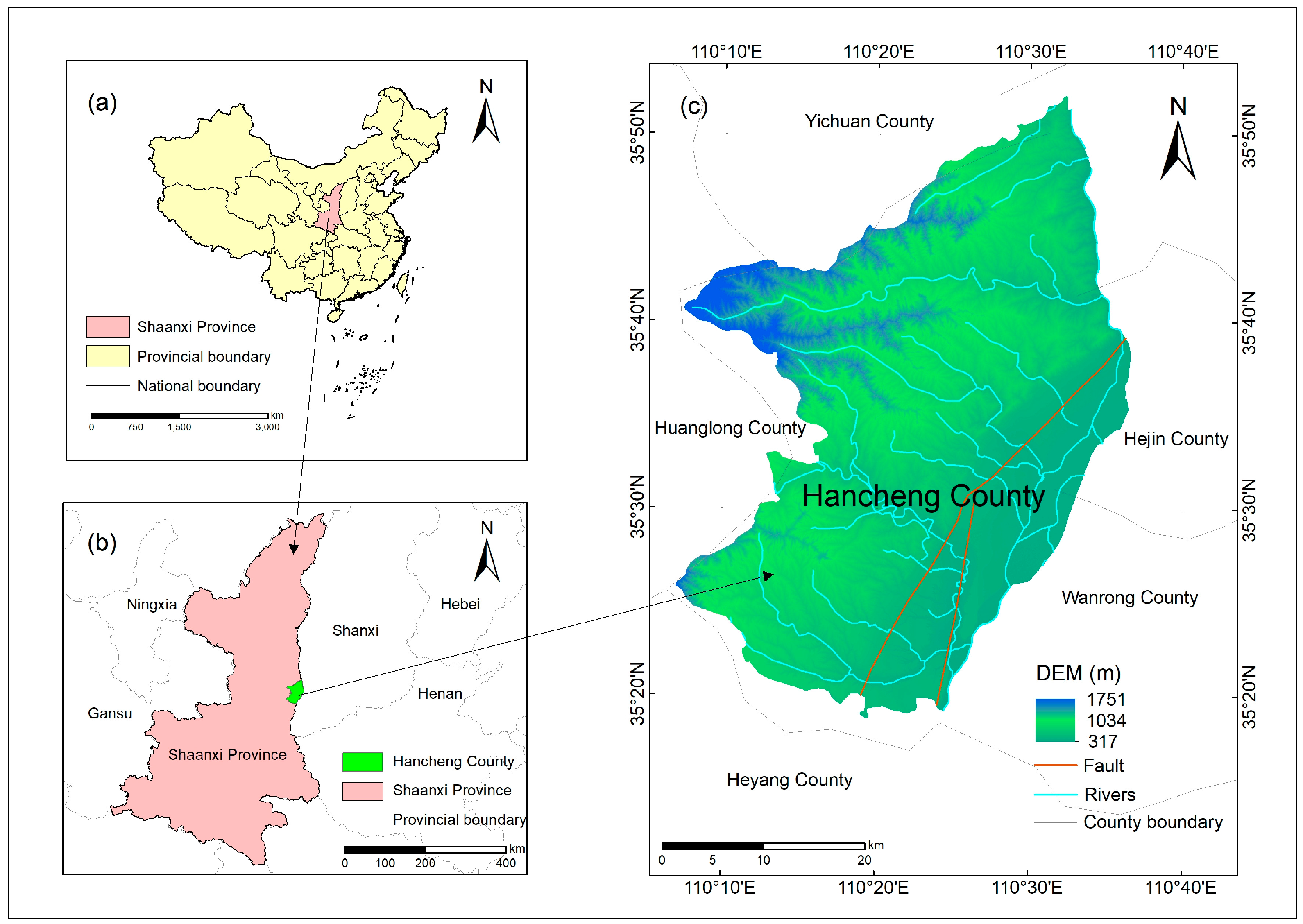
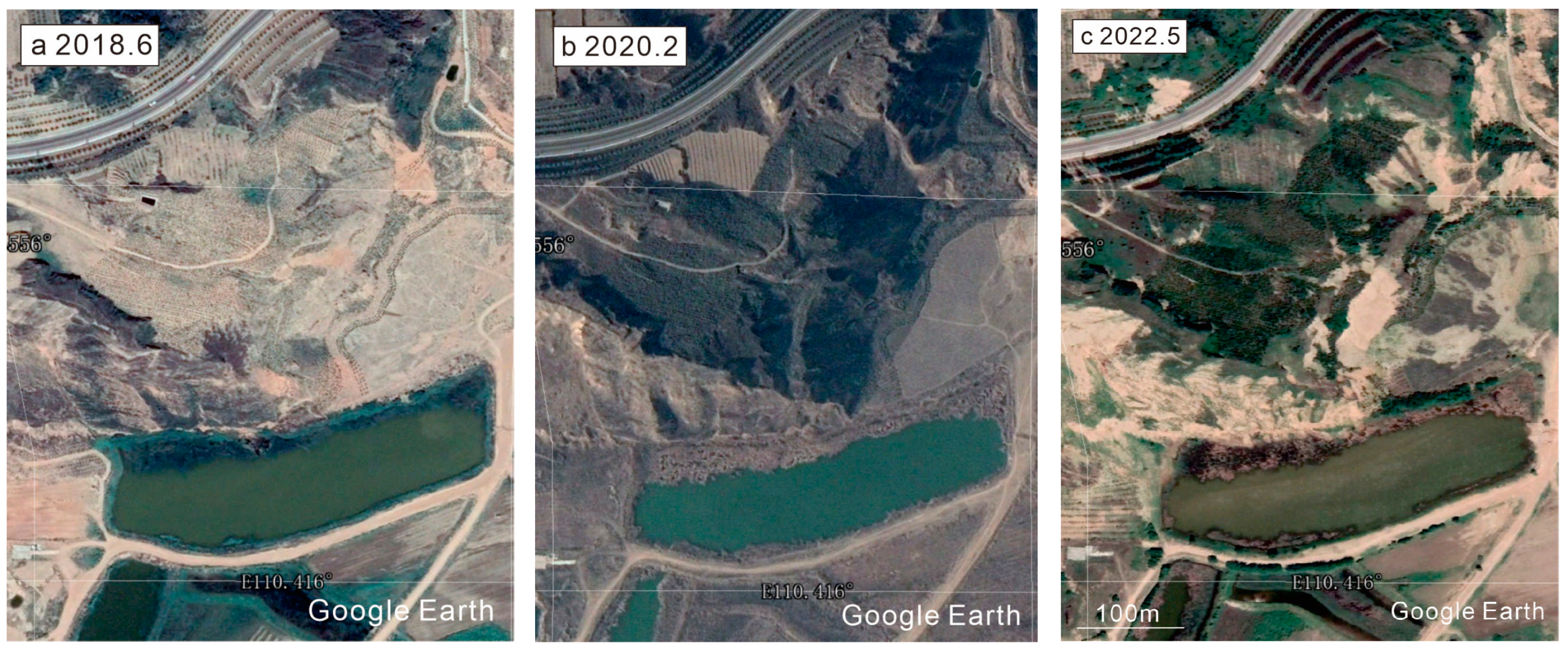
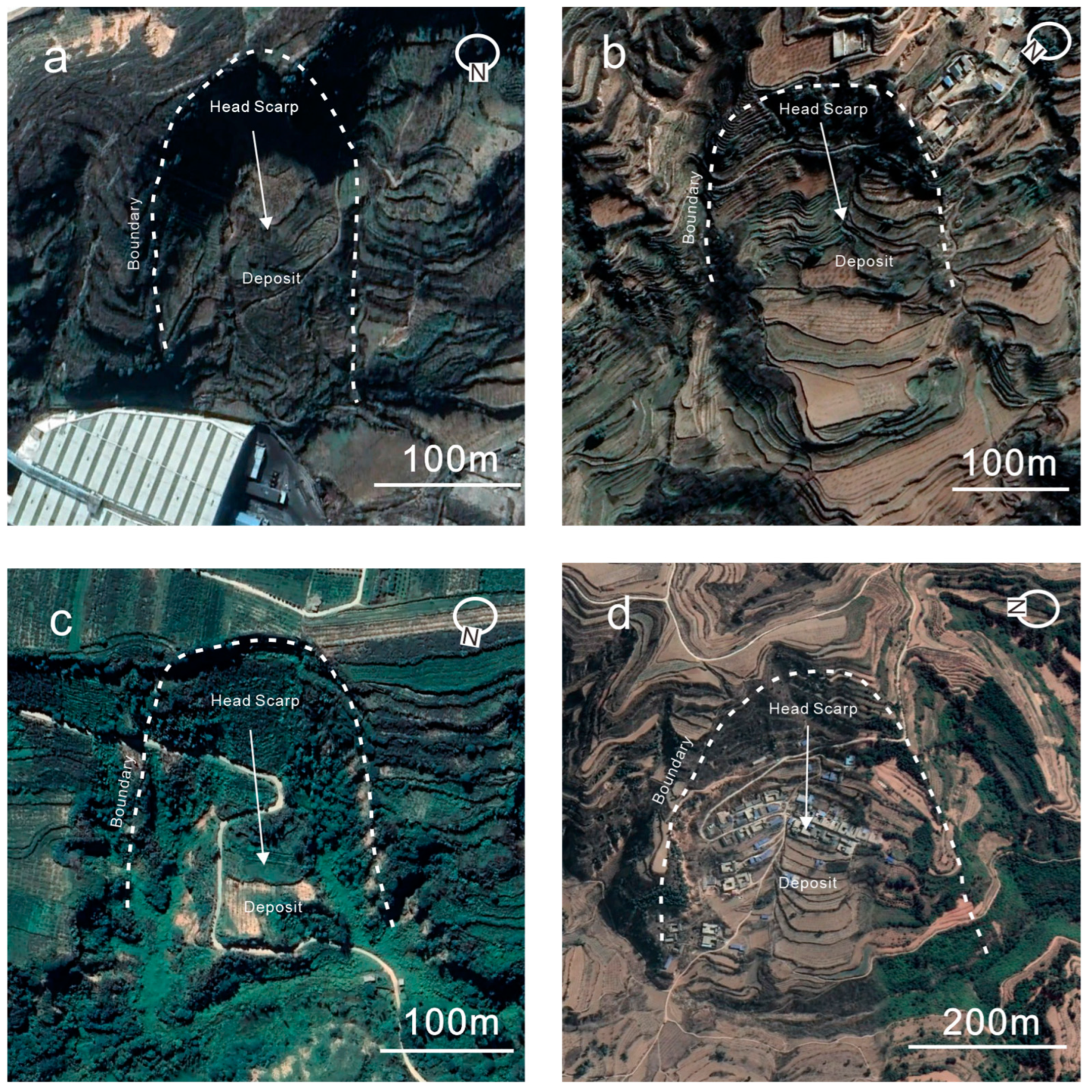
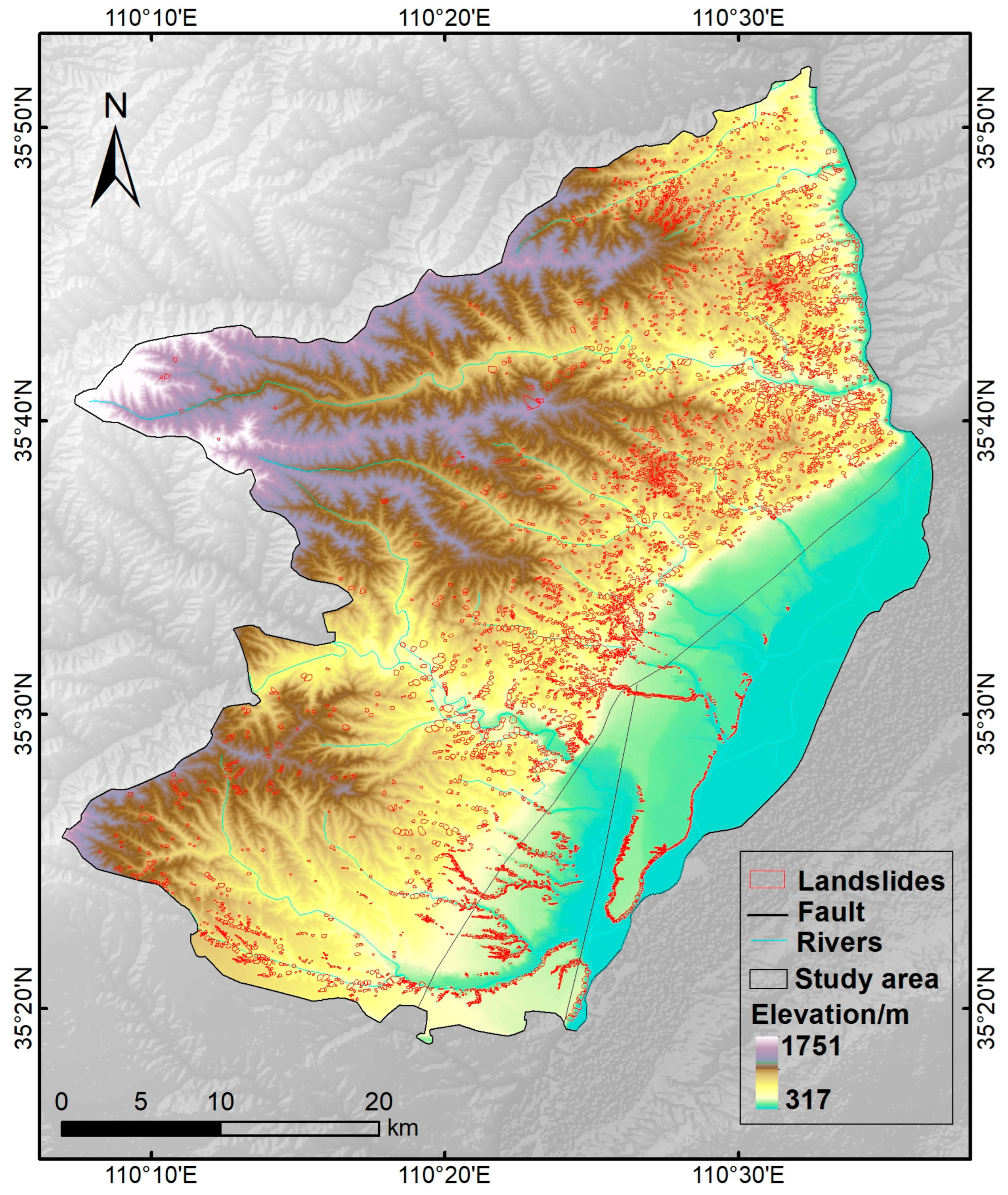
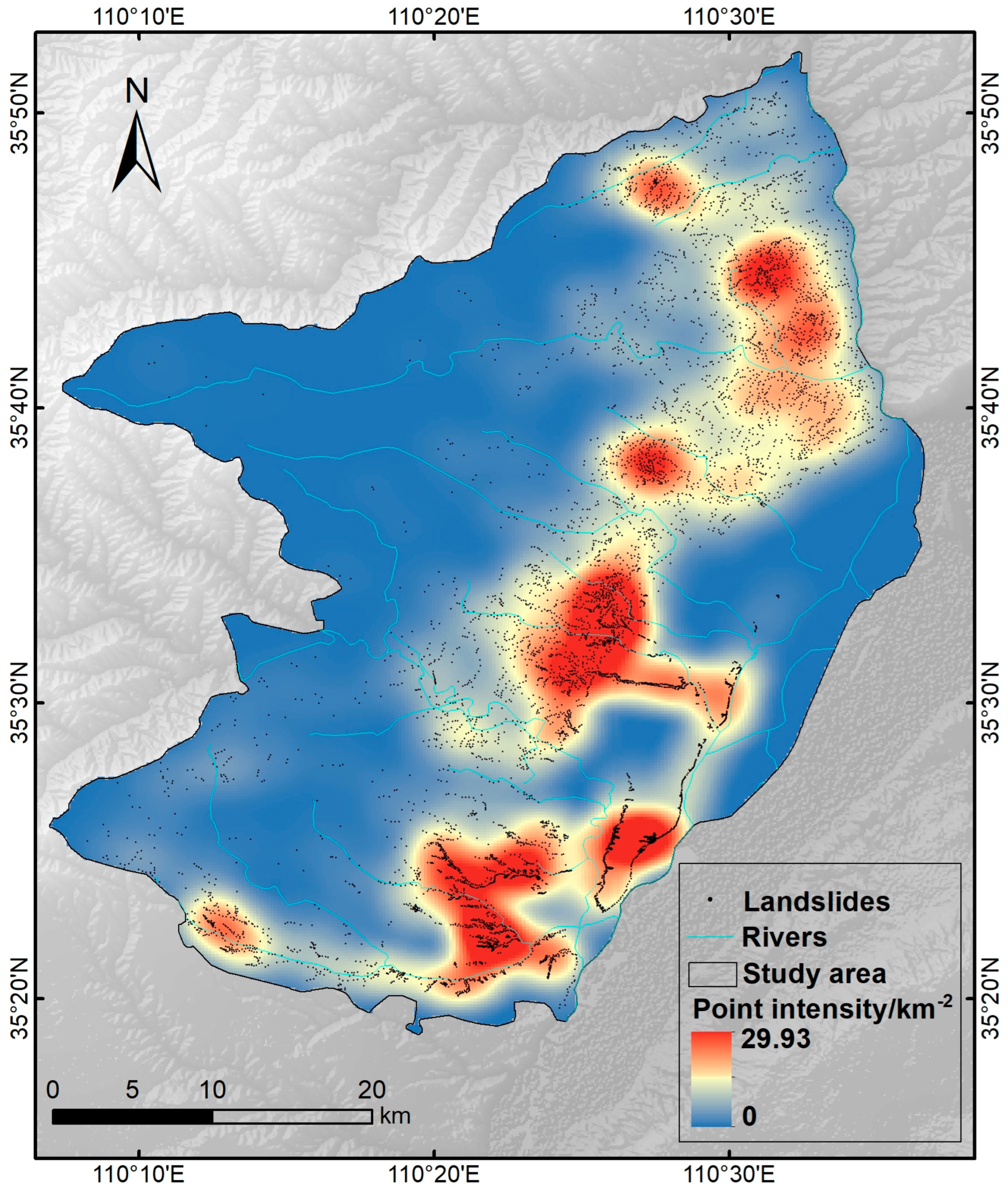
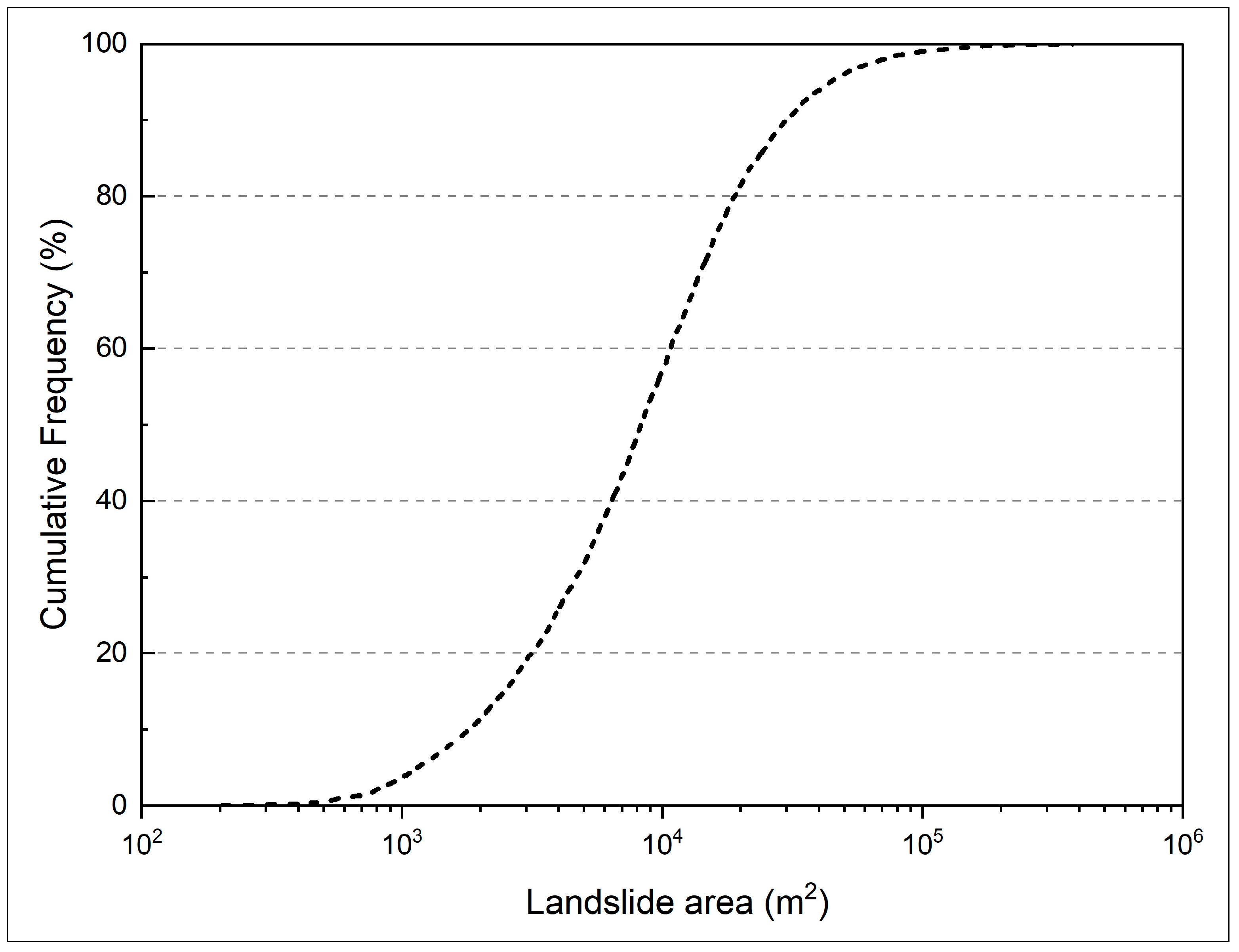
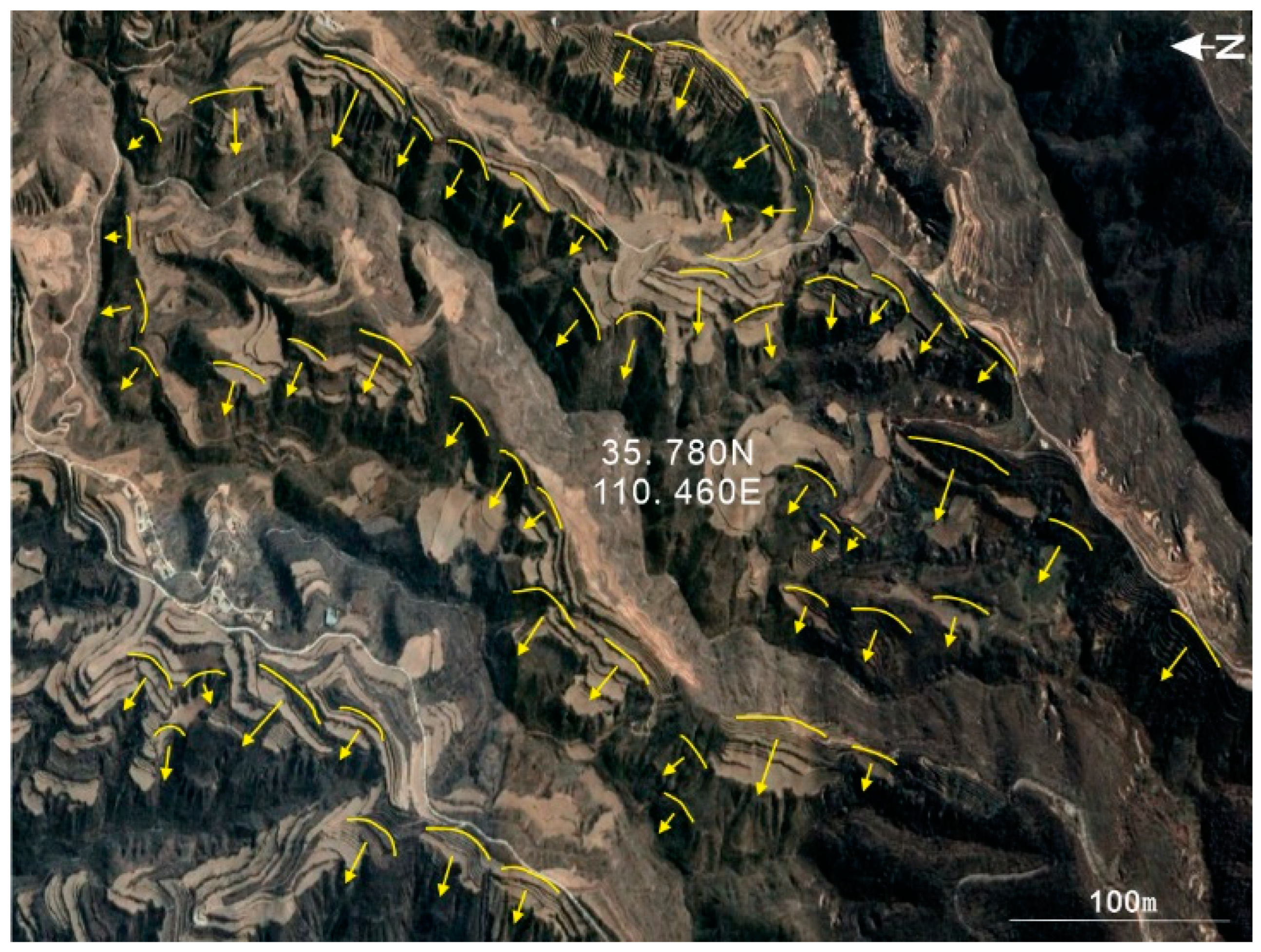
Hancheng is located in the eastern part of China’s Shaanxi Province, near the west bank of the Yellow River. It is located at the junction of the active geological structure area. The rock layer is relatively fragmented, and landslide disasters are frequent. The occurrence of landslide disasters often causes a large number of casualties along with economic losses in the local area, seriously restricting local economic development. Although risk assessment and deformation mechanism analysis for single landslides have been performed for landslide disasters in the Hancheng area, this area lacks a landslide traces database. A complete landslide database comprises the basic data required for the study of landslide disasters and is an important requirement for subsequent landslide-related research. Therefore, this study used multi-temporal high-resolution optical images and human-computer interaction visual interpretation methods of the Google Earth platform to construct a landslide traces database in Hancheng County. The results showed that at least 6785 landslides had occurred in the study area. The total area of the landslides was about 95.38 km2, accounting for 5.88% of the study area. The average landslide area was 1406.04 m2, the largest landslide area was 377,841 m2, and the smallest landslide area was 202.96 m2. The results of this study provides an important basis for understanding the spatial distribution of landslides in Hancheng County, the evaluation of landslide susceptibility, and local disaster prevention and mitigation work.
Keywords: Hancheng County; human-machine interactive visual interpretation; landslides database; Google Earth platform Hancheng County; human-machine interactive visual interpretation; landslides database; Google Earth platform