Article

GNSS Threat Simulator for Urban Air Mobility Scenarios

Italian Aerospace Research Centre (CIRA S.c.P.A.), 81043 Capua, Italy
*
Author to whom correspondence should be addressed.
Aerospace 2025, 12(9), 787; https://doi.org/10.3390/aerospace12090787

Submission received: 27 June 2025 / Revised: 27 August 2025 / Accepted: 27 August 2025 / Published: 30 August 2025

Abstract

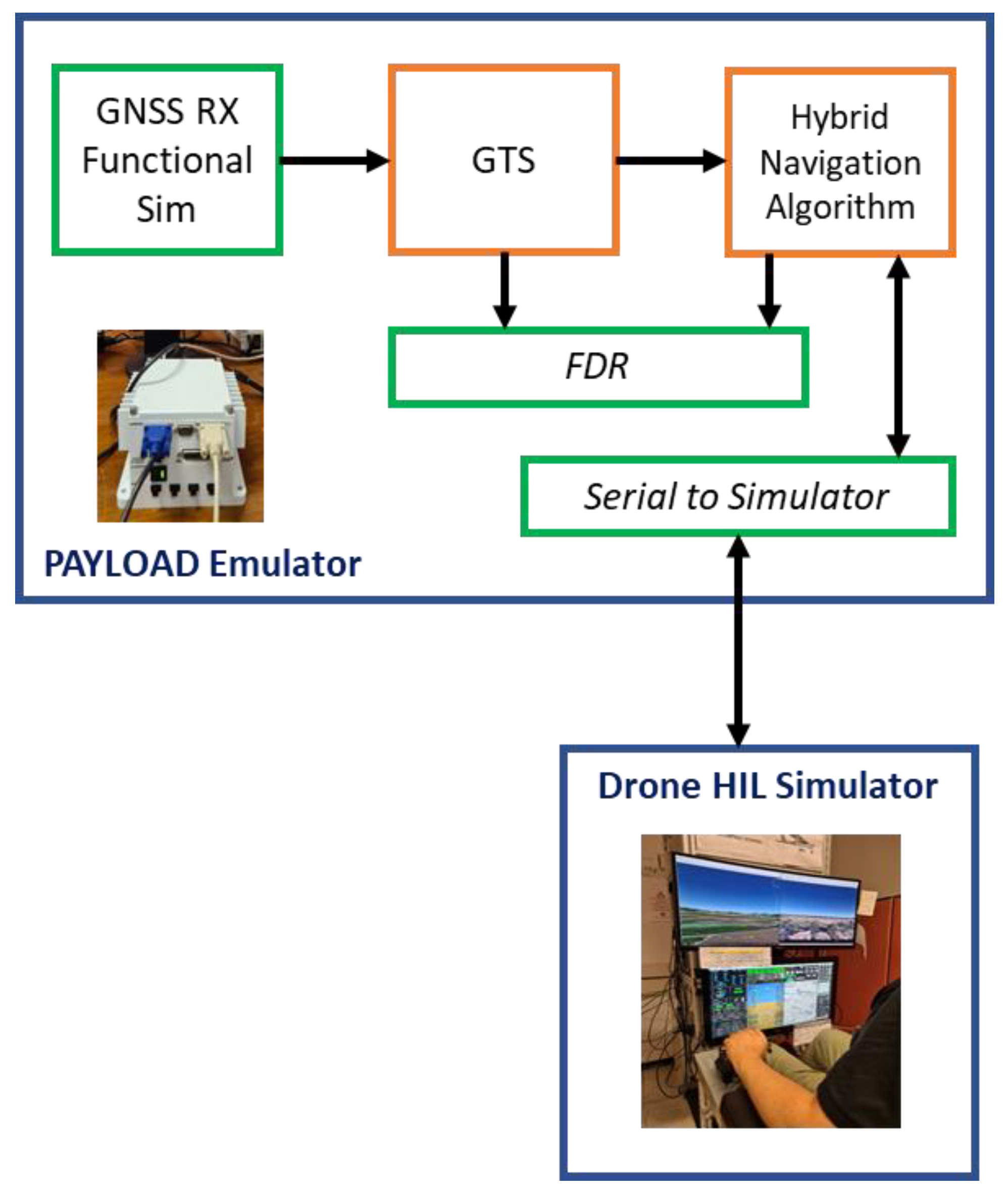
The safety-critical functions of autonomous drones heavily rely on Positioning, Navigation and Timing (PNT) information provided by Global Satellite Navigation Systems (GNSSs). This makes GNSS technology a critical element as the PNT solution can be affected by several threats, mostly in urban and suburban environments. In order to evaluate safe and reliable GNSS-based solutions in Urban Air Mobility (UAM) scenarios, a proper GNSS security impact simulator is needed. In this context, the present work details the design, implementation and testing of a GNSS Threat Simulator (GTS) capable of reproducing typical issues within a GNSS system in a UAM environment, such as satellite visibility (i.e., the actual visibility condition of the receiver’s antenna with respect to terrain and ground obstacle), multipath, electromagnetic interference, cyber threats (i.e., spoofing and jamming) and satellites failures. The GTS elaborates and modifies dual-frequency multi-constellation GNSS observables in order to inject the desired threats. The effectiveness of the proposed simulator has been demonstrated through both fast-time and real-time simulations, in which the GTS was used to validate a hybrid navigation unit installed on a drone operating in a representative urban scenario.
Keywords: dual-frequency multi-constellation GNSS; urban air mobility; positioning; navigation and timing; drone navigation safety; fast-time simulation; real-time simulation dual-frequency multi-constellation GNSS; urban air mobility; positioning; navigation and timing; drone navigation safety; fast-time simulation; real-time simulation