Abstract
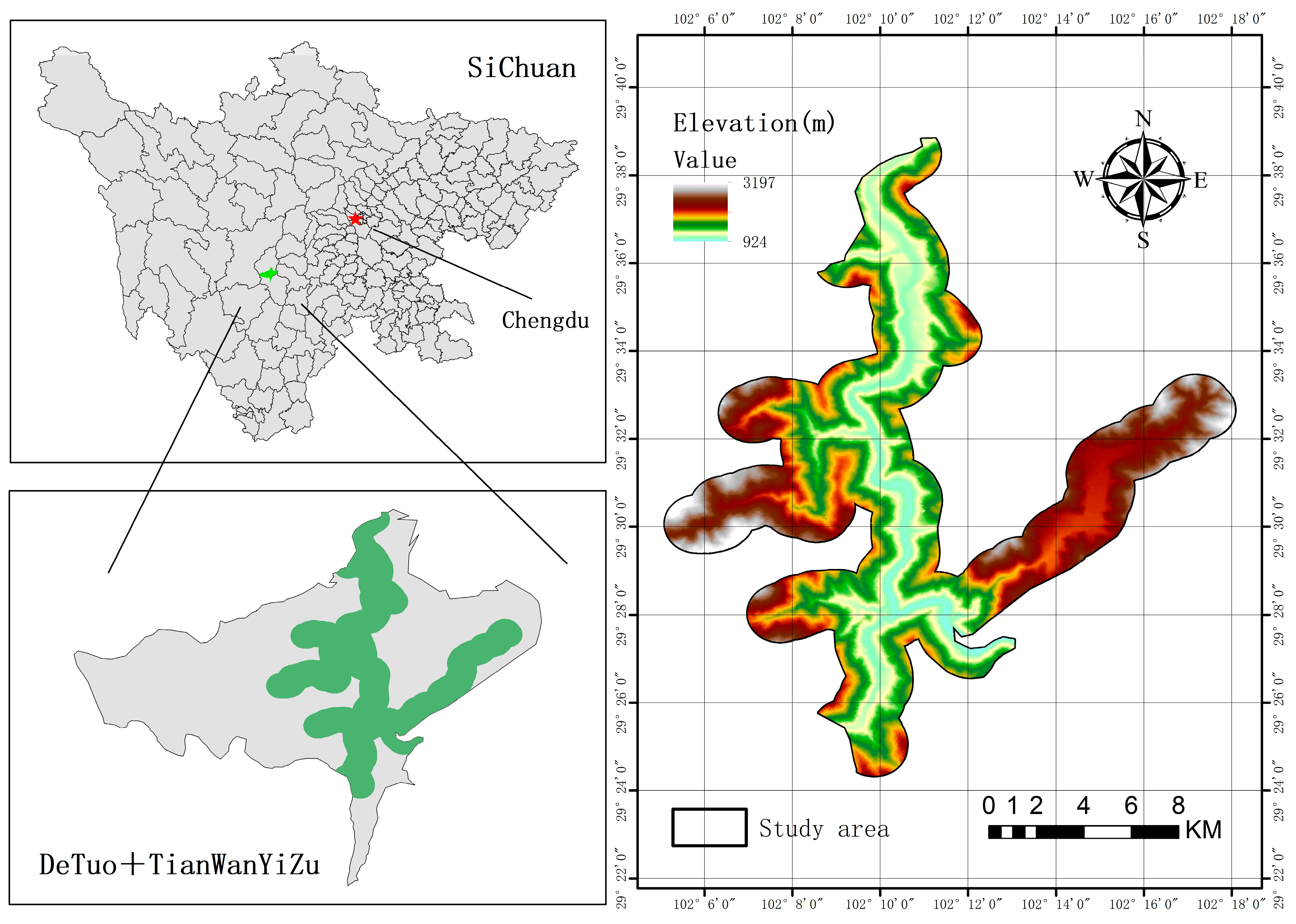
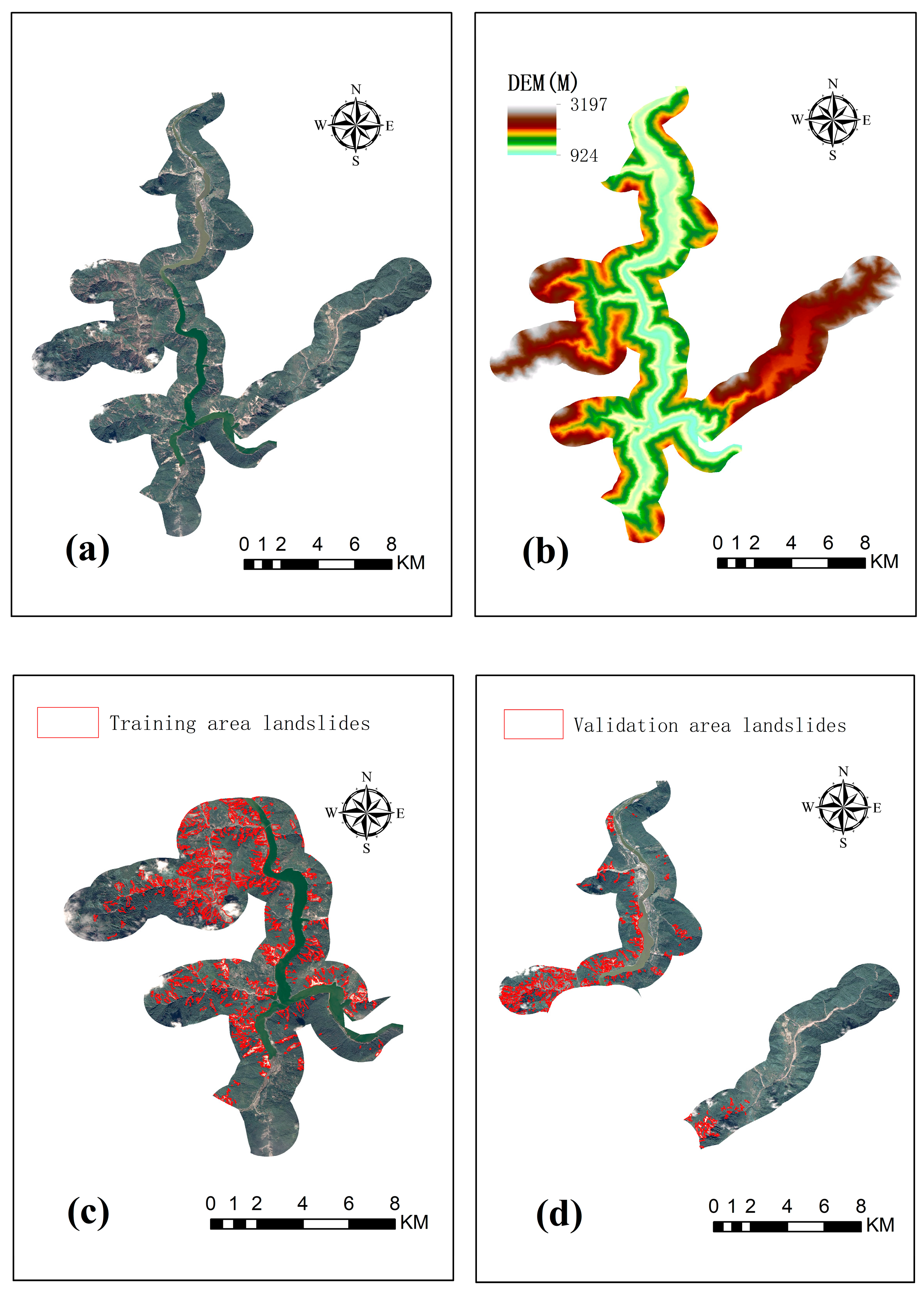
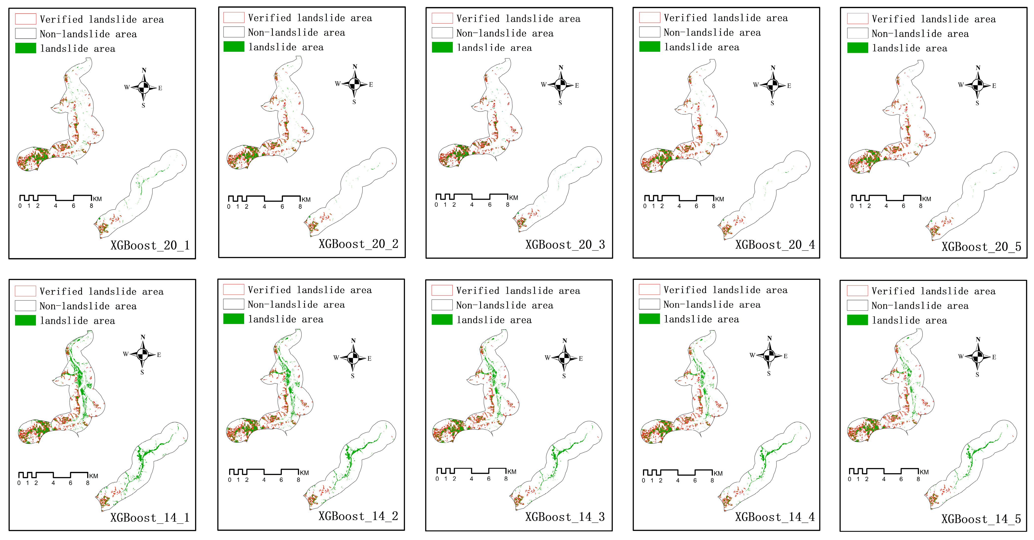
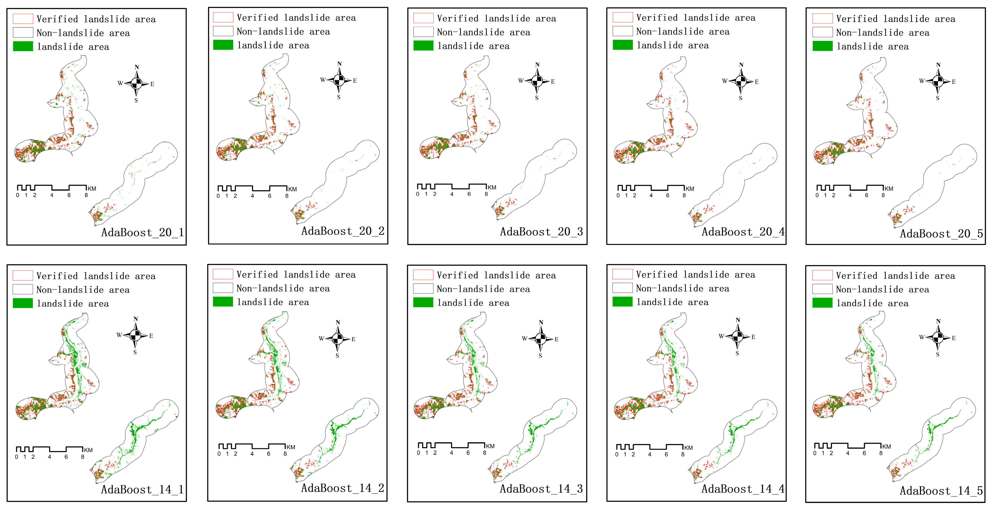
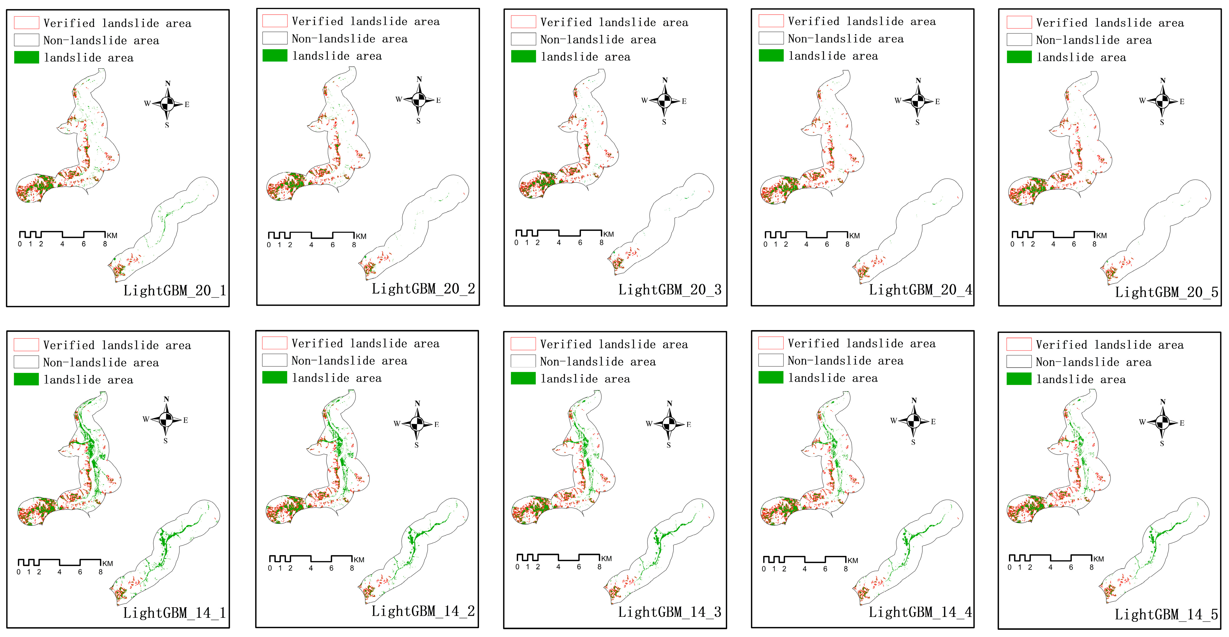
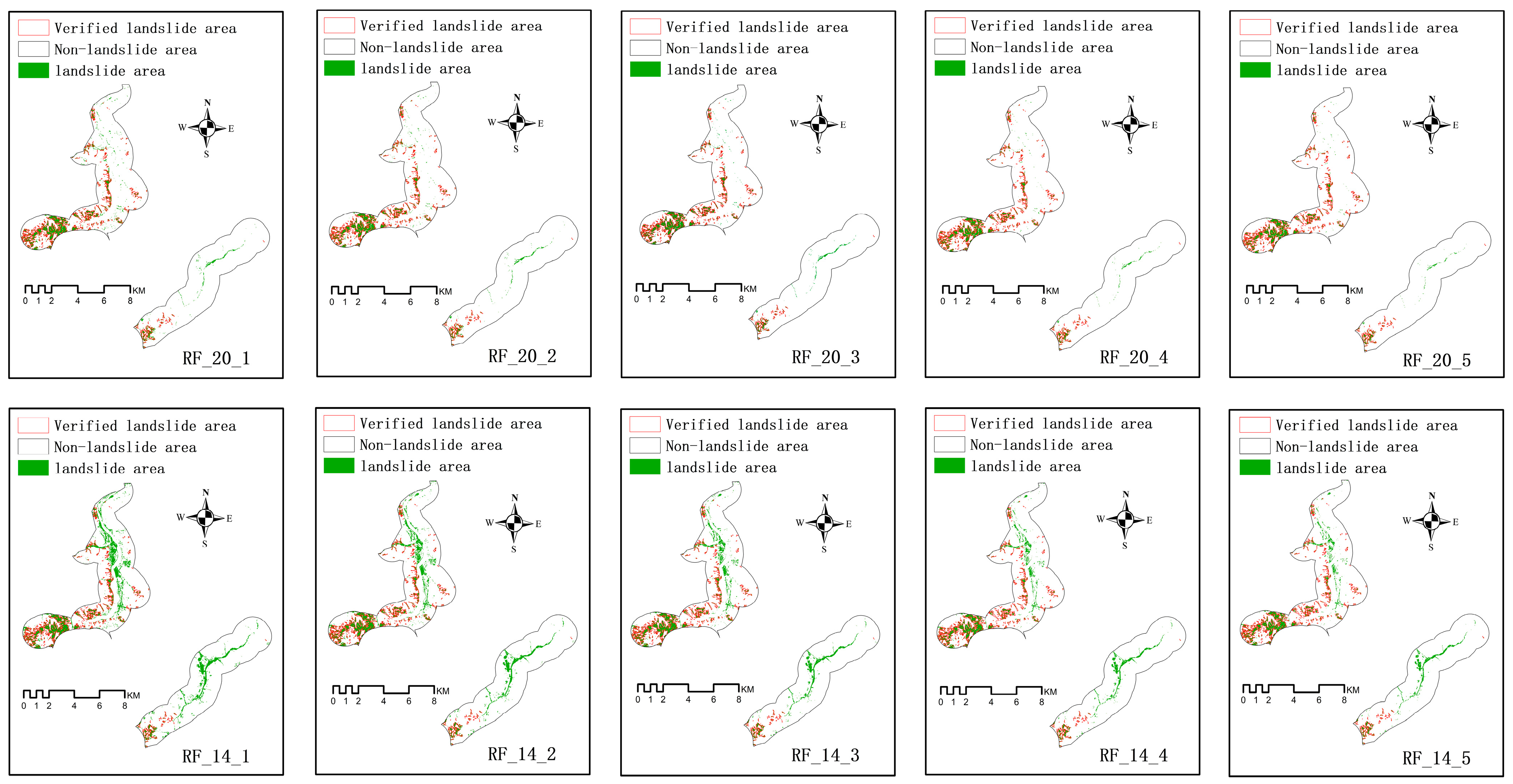
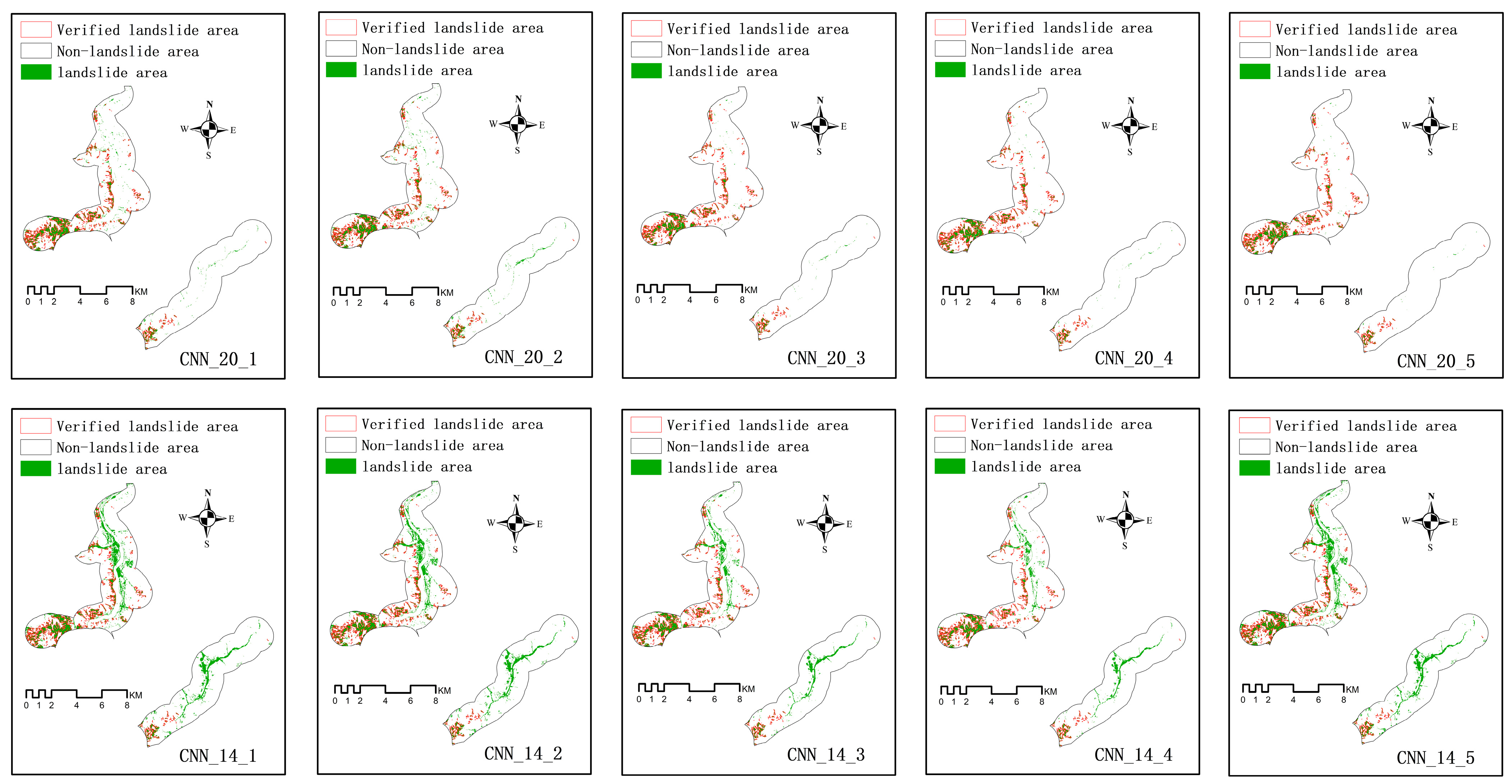
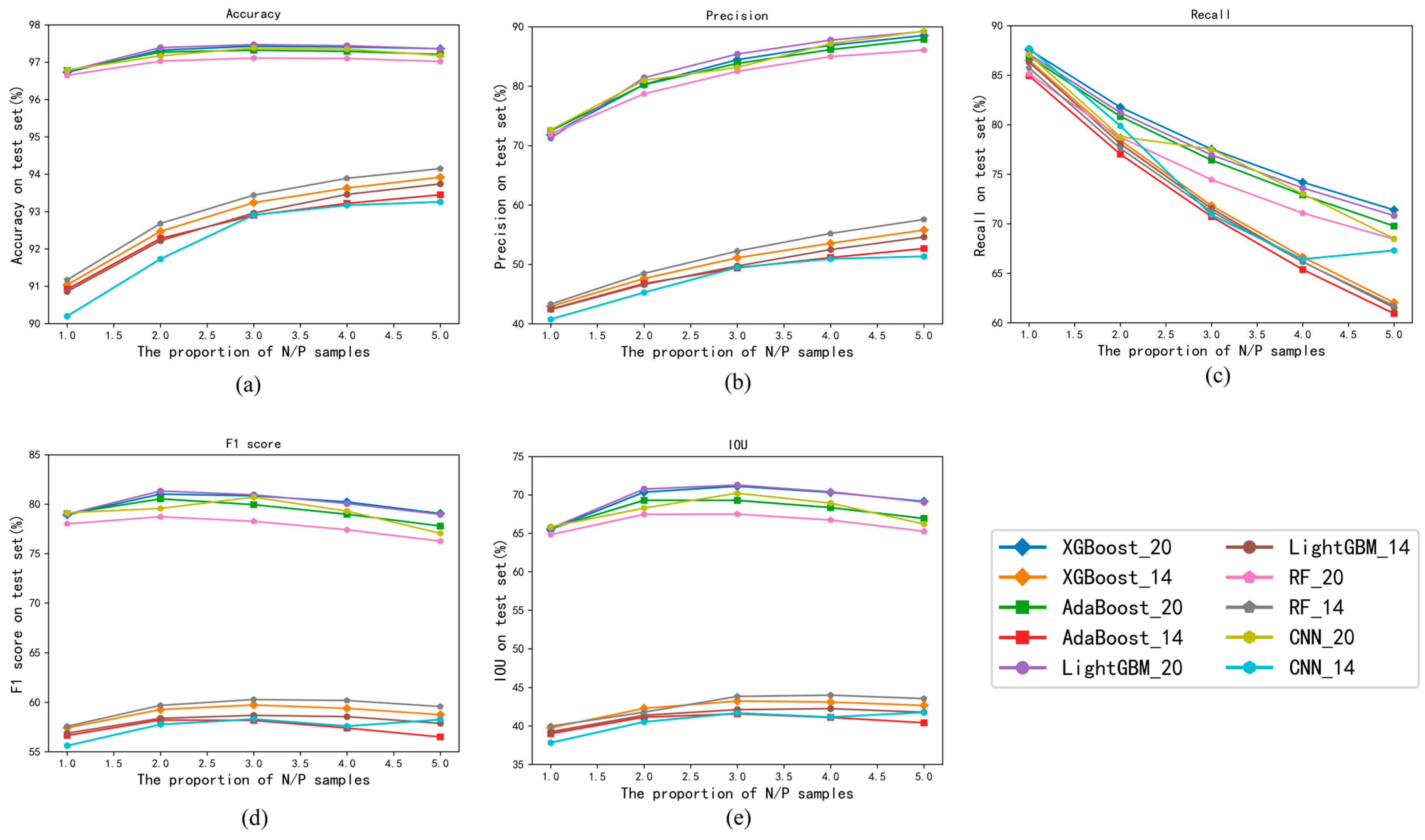
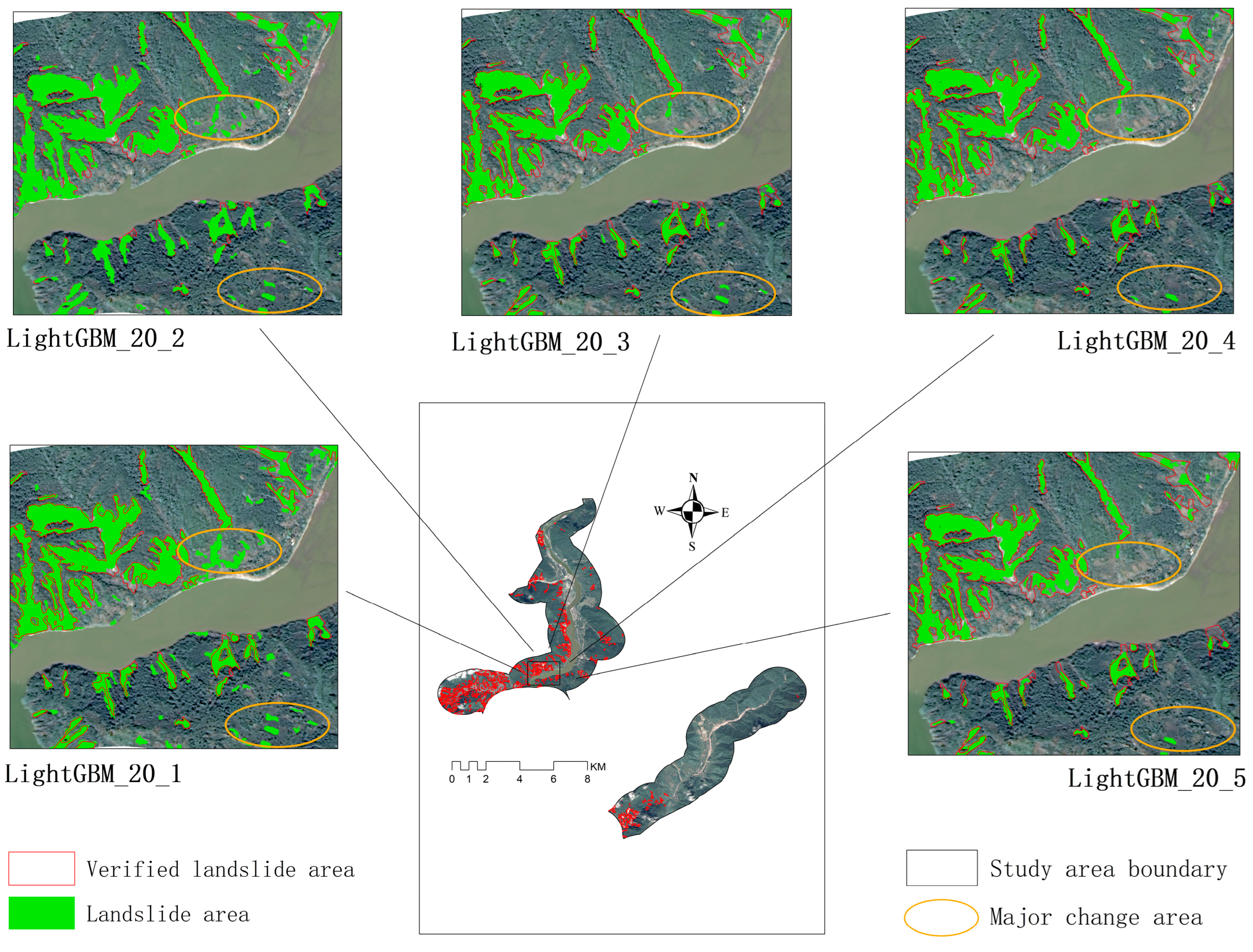
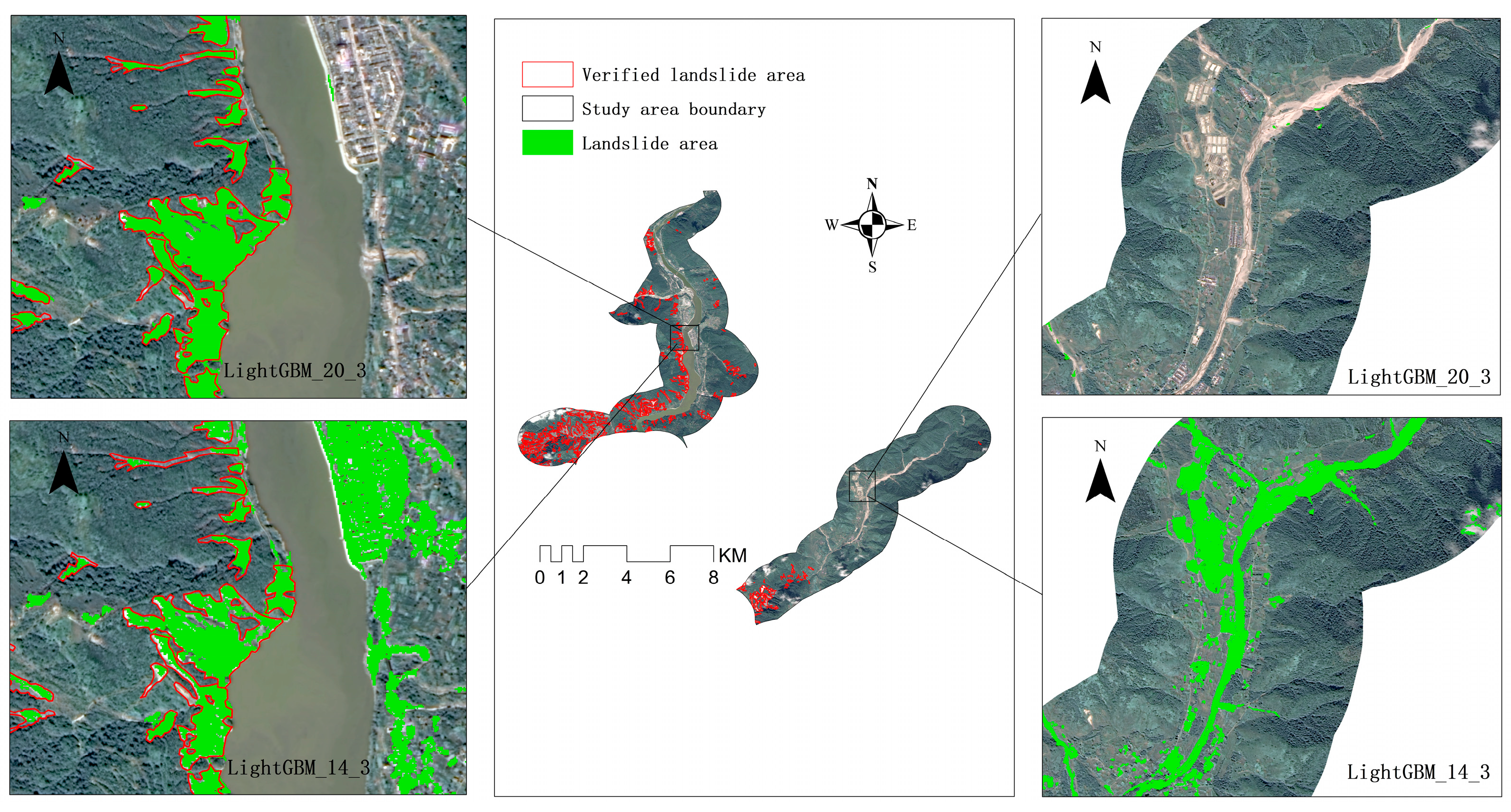
Landslides are one of the major disasters that exist worldwide, posing a serious threat to human life and property safety. Rapid and accurate detection and mapping of landslides are crucial for risk assessment and humanitarian assistance in affected areas. To achieve this goal, this study proposes a landslide recognition method based on machine learning (ML) and terrain feature fusion. Taking the Dawan River Basin in Detuo Township and Tianwan Yi Ethnic Township as the research area, firstly, landslide-related data were compiled, including a landslide inventory based on field surveys, satellite images, historical data, high-resolution remote sensing images, and terrain data. Then, different training datasets for landslide recognition are constructed, including full feature datasets that fusion terrain features and remote sensing features and datasets that only contain remote sensing features. At the same time, different ratios of landslide to non-landslide (or positive/negative, P/N) samples are set in the training data. Subsequently, five ML algorithms, including Extreme Gradient Boost (XGBoost), Adaptive Boost (AdaBoost), Light Gradient Boost (LightGBM), Random Forest (RF), and Convolutional Neural Network (CNN), were used to train each training dataset, and landslide recognition was performed on the validation area. Finally, accuracy (A), precision (P), recall (R), F1 score (F1), and intersection over union (IOU) were selected to evaluate the landslide recognition ability of different models. The research results indicate that selecting ML models suitable for the study area and the ratio of the P/N samples can improve the A, R, F1, and IOU of landslide identification results, resulting in more accurate and reasonable landslide identification results; Fusion terrain features can make the model recognize landslides more comprehensively and align better with the actual conditions. The best-performing model in the study is LightGBM. When the input data includes all features and the P/N sample ratio is optimal, the A, P, R, F1, and IOU of landslide recognition results for this model are 97.47%, 85.40%, 76.95%, 80.95%, and 71.28%, respectively. Compared to the landslide recognition results using only remote sensing features, this model shows improvements of 4.51%, 35.66%, 5.41%, 22.27%, and 29.16% in A, P, R, F1, and IOU, respectively. This study serves as a valuable reference for the precise and comprehensive identification of landslide areas.