Article

Modeling the Area of Interest for a Mobile Sensory System

1
Department of Aviation Technical Studies, Faculty of Aeronautics, Technical University of Košice, 040 01 Košice, Slovakia
2
Department of Air Transport Management, Faculty of Aeronautics, Technical University of Košice, 040 01 Košice, Slovakia
*
Author to whom correspondence should be addressed.
Appl. Sci. 2023, 13(9), 5541; https://doi.org/10.3390/app13095541
Submission received: 17 March 2023 / Revised: 24 April 2023 / Accepted: 25 April 2023 / Published: 29 April 2023

Abstract

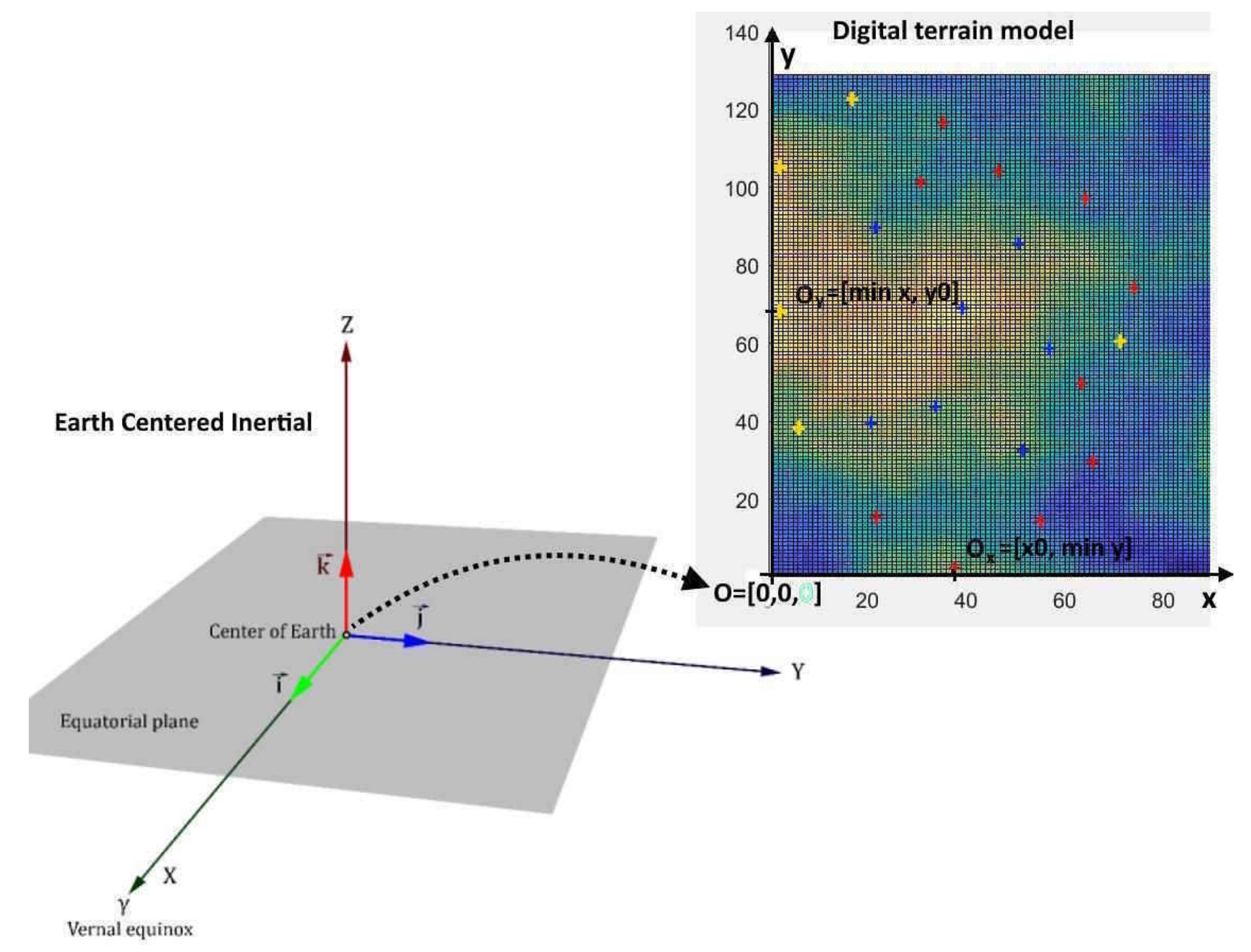
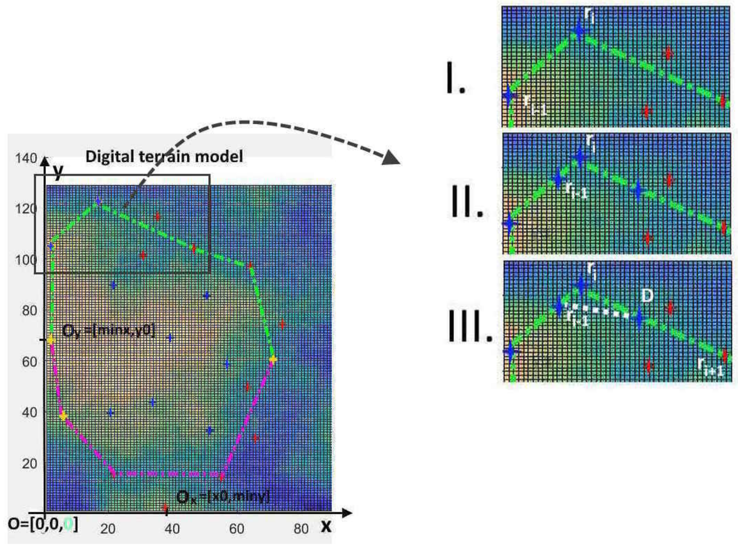
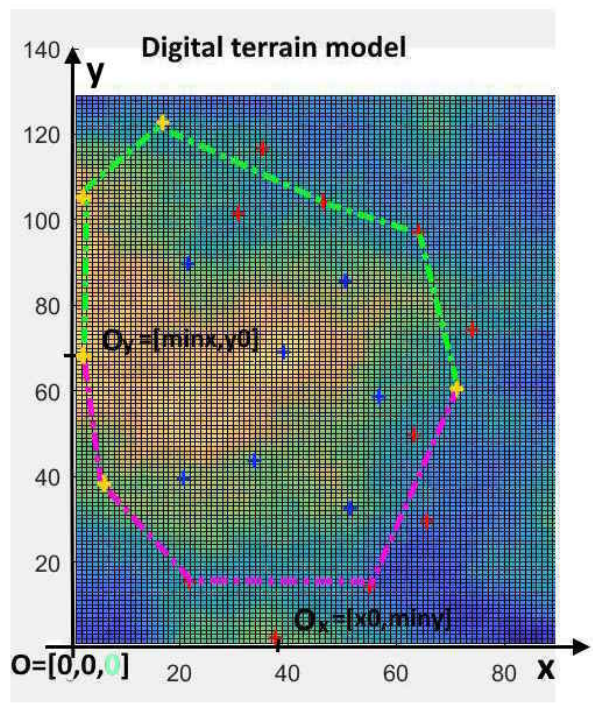
We live in the age of the 4th industrial revolution. The leading technologies of this revolution are Cloud computing, Big Data and the Internet of Things (IoT). The vast majority of IoT technologies are characterized by the fact that we collect data with the help of sensors using the Internet. The project MOVIR also implements such an IoT technology. The main goal of the project was the development of a sensor unit. Such sensor units form a network that protects a specific area. This network forms an autonomous electronic area or space protection system. To create this network, we need to define the place we want to protect and the placement of sensor units within this area. Our work is about the mathematical and digital definition of such an area and the placement of sensor units. One of our articles on air traffic control gave the idea of digital modeling the protected area. Here we define the area of interest using significant points. Points are given using GPS coordinates. With the help of a spatial coordinate system, these significant points and a projection, we define a coordinate system to define and model our protected area and the network of sensor units. Here, a digital raster terrain model where significant points are located is required as input data. The digital model of area is defined using a matrix whose elements indicate the height of points in space. The row and column indices of the matrix determine the details of the area. We can use several height layers to describe different obstacles. The accuracy of this theoretical mathematical terrain model depends on the description and details of the accuracy of the terrain. The mathematical model of the area of interest is a 3D polygon. The network of sensor units model is also a 3D polygon located within the area of interest.
Keywords: event detection application; sensory units network; 3D polygon; geodetic information system; digital model of terrain event detection application; sensory units network; 3D polygon; geodetic information system; digital model of terrain