Article

Improved IDW Interpolation Application Using 3D Search Neighborhoods: Borehole Data-Based Seismic Liquefaction Hazard Assessment and Mapping


1
Department of Geotechnical Engineering Research, Korea Institute of Civil Engineering and Building Technology, Goyang-si 10223, Gyeonggi-do, Republic of Korea
2
Department of Professional Service, MOSAIC TAILOR Incorporated, Suwon-si 16514, Gyeonggi-do, Republic of Korea
*
Author to whom correspondence should be addressed.
Appl. Sci. 2022, 12(22), 11652; https://doi.org/10.3390/app122211652
Submission received: 13 October 2022 / Revised: 11 November 2022 / Accepted: 15 November 2022 / Published: 16 November 2022
(This article belongs to the Section Civil Engineering)

Featured Application

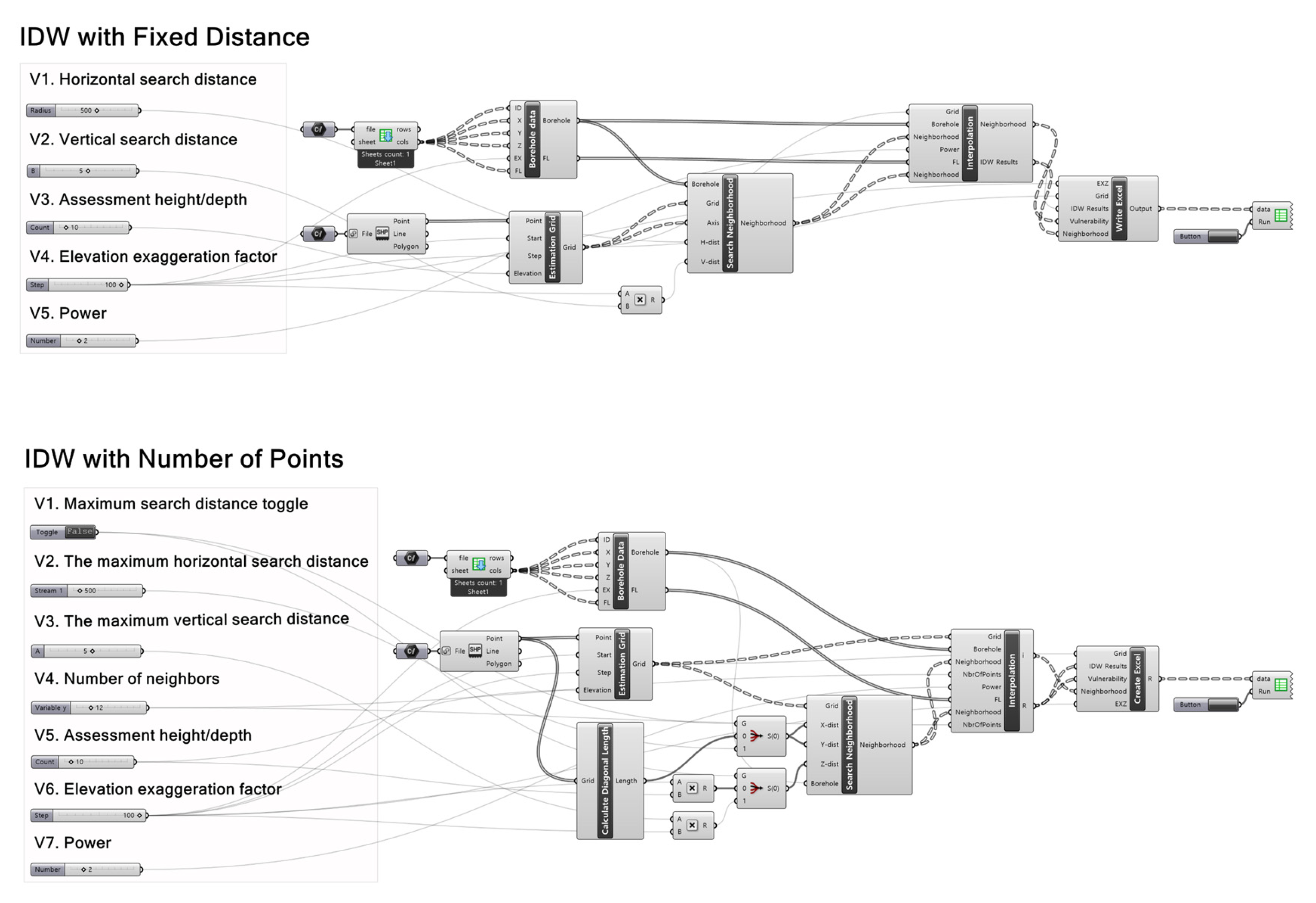
There are 3 applications used in this study. (1) Esri’s ArcGIS is used for modeling/visualization geo-spatial data and publishing 3D web mapping application; (2) MathWorks’s MATLAB is used for borehole data preprocessing and liquefaction hazard assessment; (3) Robert McNeel & Associates’s Rhino/Grasshopper is used for developing improved IDW algorithm.

Abstract

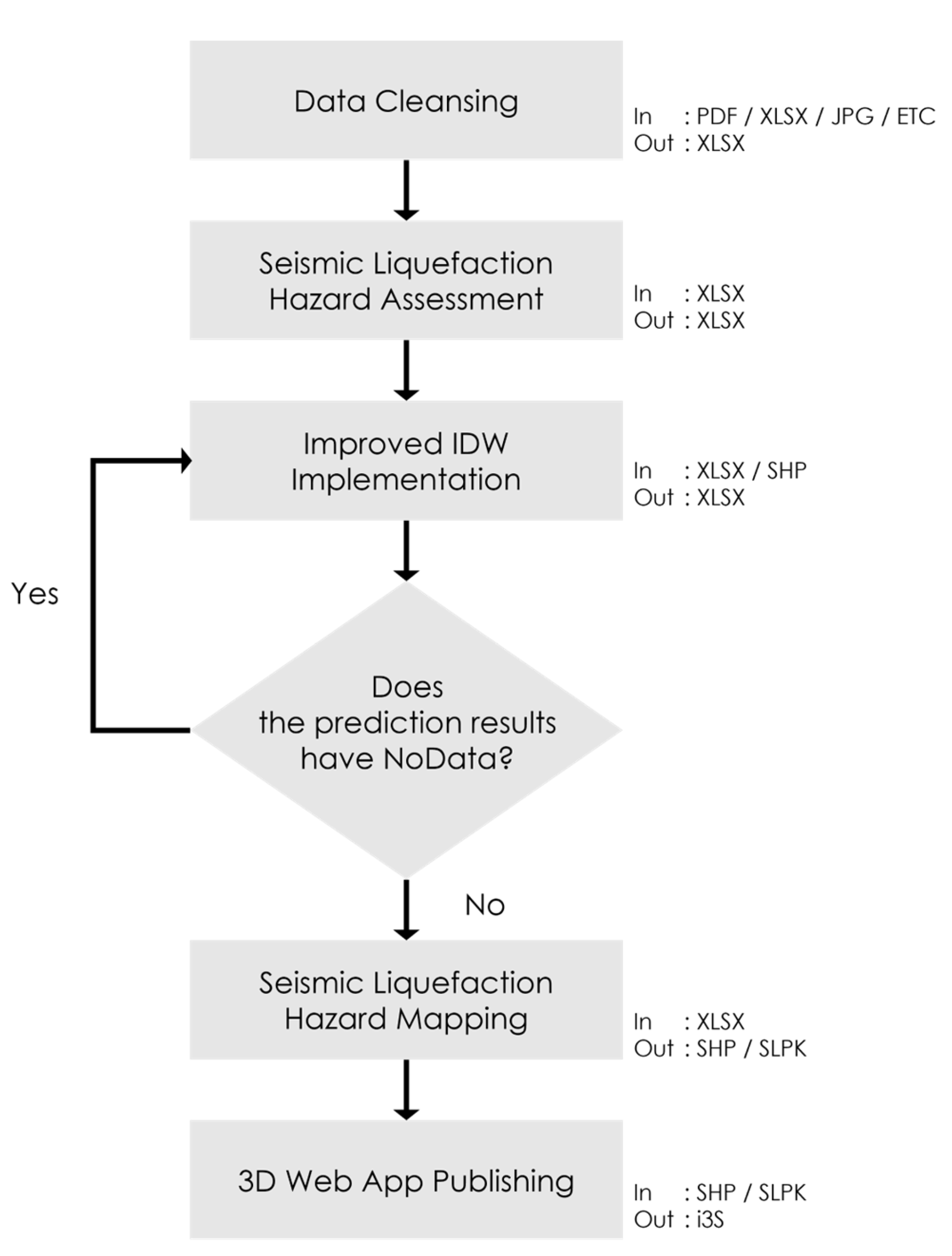
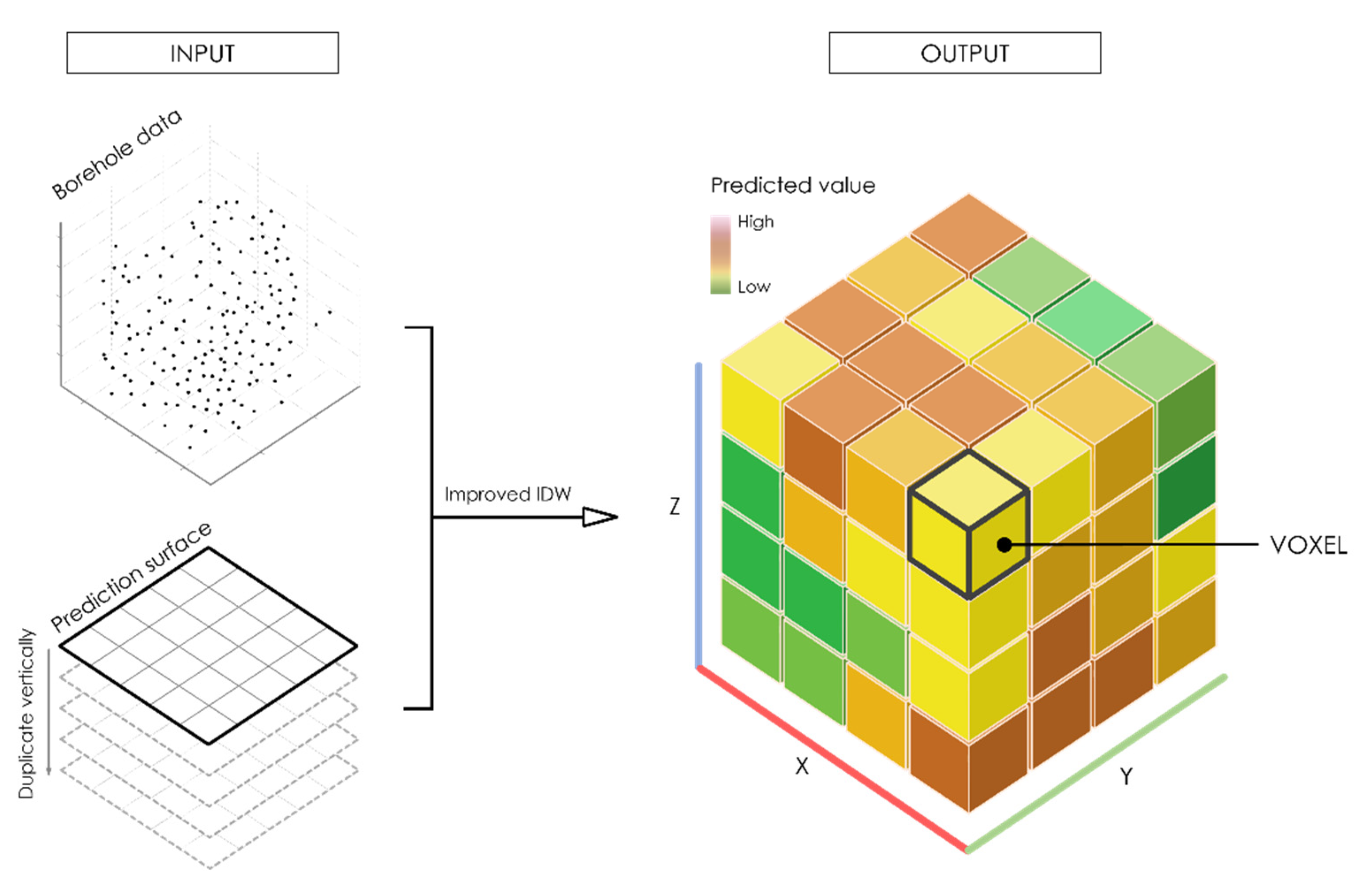
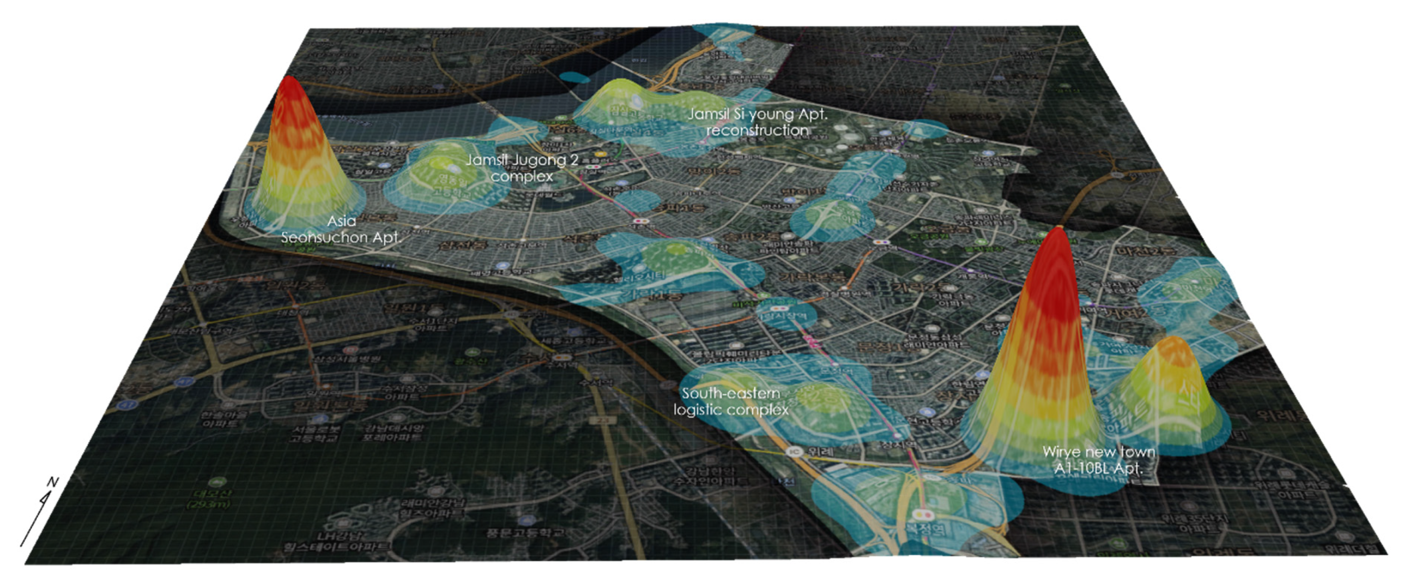
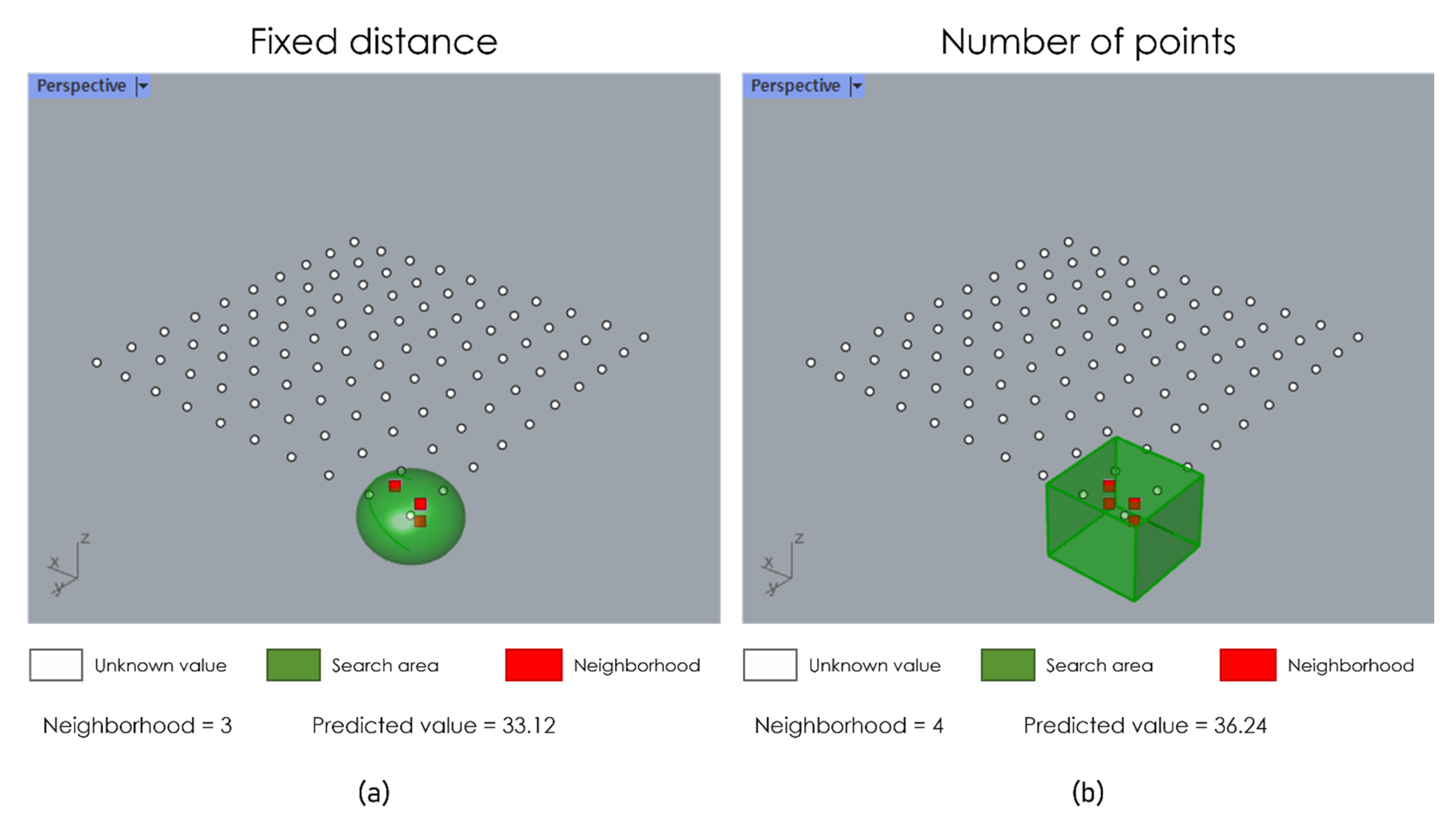
Traditional inverse distance weighting (IDW) interpolation is a process employed to estimate unknown values based on neighborhoods in 2D space. Proposed in this study is an improved IDW interpolation method that uses 3D search neighborhoods for effective interpolation on vertically connected observation data, such as water level, depth, and altitude. Borehole data are the data collected by subsurface boring activities and exhibit heterogeneous spatial distribution as they are densely populated near civil engineering or construction sites. In addition, they are 3D spatial data that show different subsurface characteristics by depth. The subsurface characteristics observed as such are used as core data in spatial modeling in fields, such as geology modeling, estimation of groundwater table distribution, global warming assessment, and seismic liquefaction assessment, among others. Therefore, this study proposed a seismic liquefaction assessment and mapping workflow using an improved IDW application by combining geographic information system (GIS) (ArcGIS (Esri, Redlands, CA, USA)), NURBS-based 3D CAD system (Rhino/Grasshopper (Robert McNeel & Associates, Seattle, WA, USA)), and numerical analysis system (MATLAB (MathWorks, Natick, MA, USA)). The 3D neighborhood search was conducted by the B-rep-based 3D topology analysis, and the mapping was done under the 2.5D environment by combining the voxel layer, DEM, and aerial images. The experiment was performed by collecting data in Songpa-gu, Seoul, which has the highest population density among the OECD countries. The results of the experiment showed between 7 and 105 areas with liquefaction potentials according to the search distance and the method of the approach. Finally, this study improved users’ accessibility to interpolation results by producing a 3D web app that used REST API based on OGC I3S Standards. Such an approach can be applied effectively in spatial modeling that uses 3D observation data, and in the future, it can contribute to the expansion of 3D GIS application.
Keywords: 3D search neighborhoods; spatial interpolation; inverse distance weighting (IDW); seismic liquefaction; geographic information system (GIS) 3D search neighborhoods; spatial interpolation; inverse distance weighting (IDW); seismic liquefaction; geographic information system (GIS)