Article

Combined Thermal Index Development for Urban Heat Island Detection in Area of Split, Croatia

by
Majda Ćesić
1,
Katarina Rogulj
1,* and
Andrija Krtalić
2
1
Faculty of Civil Engineering, Architecture and Geodesy, University of Split, Matice Hrvatske 15, 21000 Split, Croatia
2
Faculty of Geodesy, University of Zagreb, 10000 Zagreb, Croatia
*
Author to whom correspondence should be addressed.
Land 2025, 14(1), 175; https://doi.org/10.3390/land14010175
Submission received: 5 December 2024 / Revised: 3 January 2025 / Accepted: 10 January 2025 / Published: 15 January 2025
(This article belongs to the Special Issue Land Use Planning, Sustainability and Disaster Risk Reduction)

Abstract

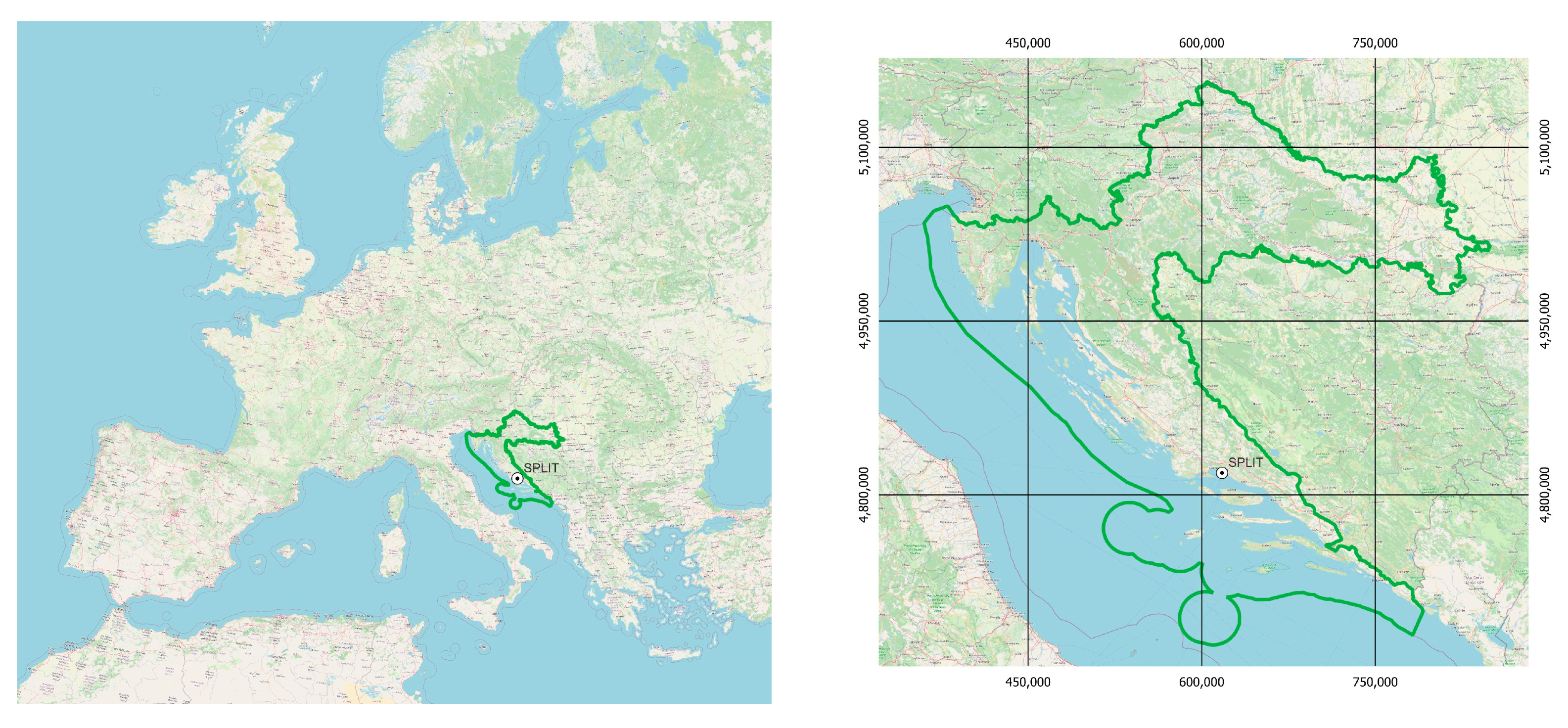
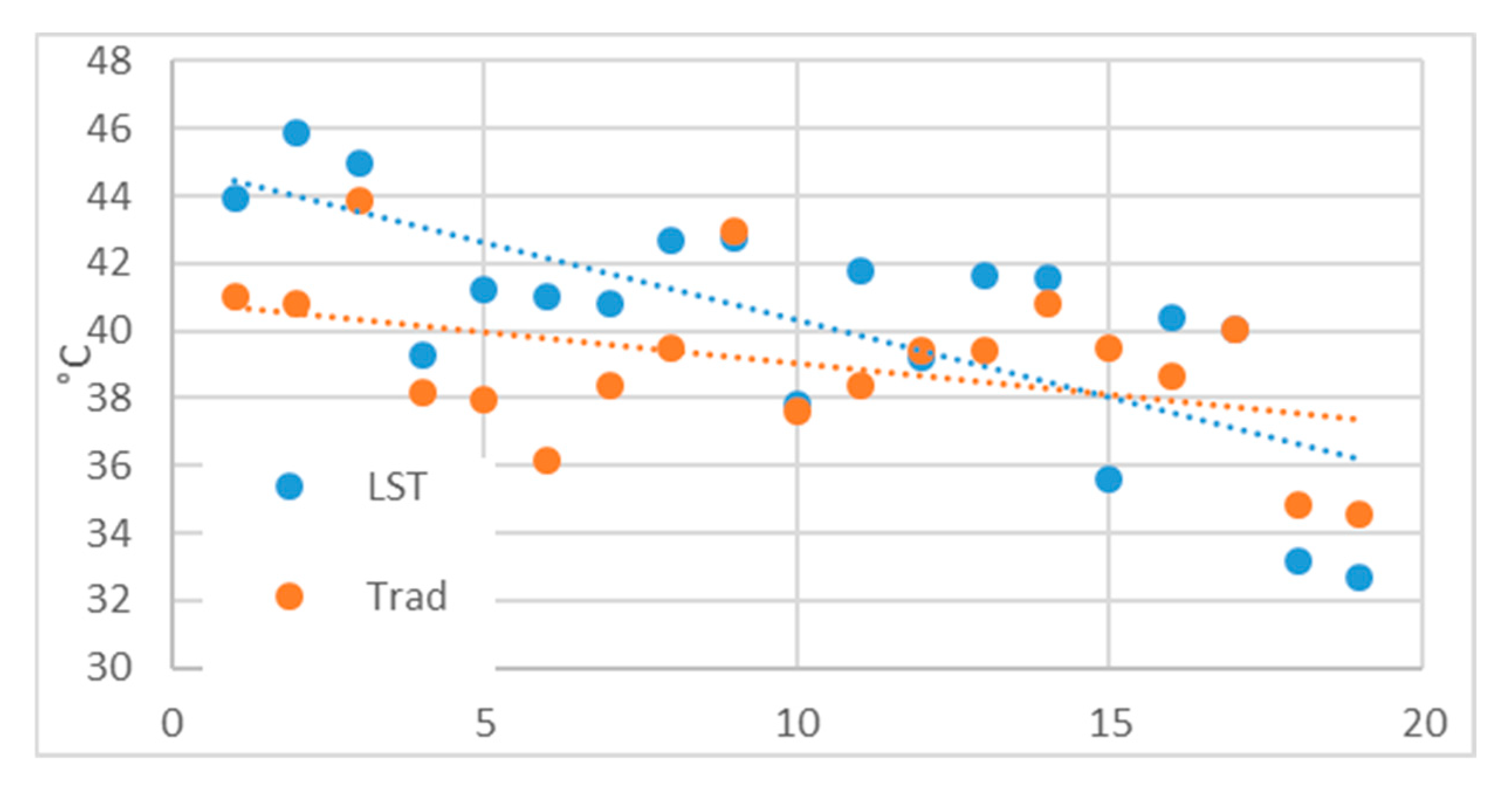
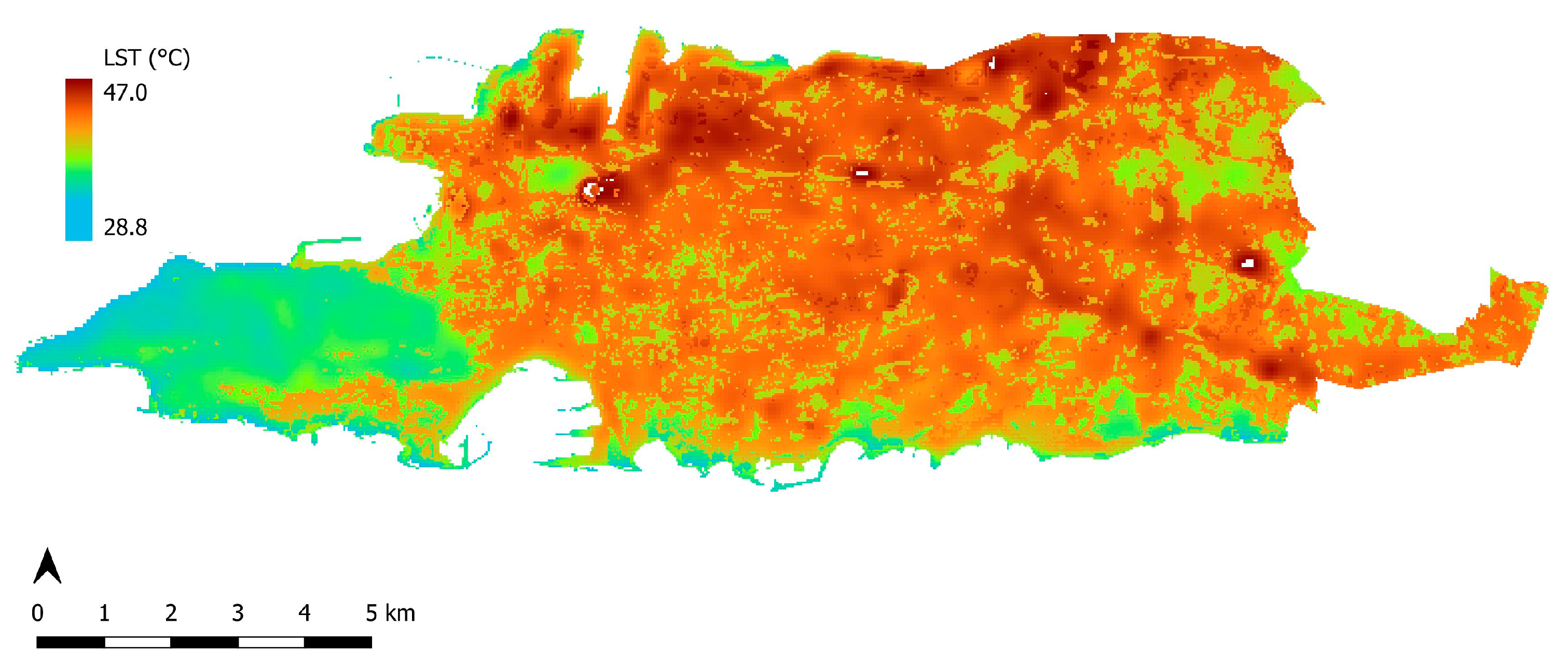
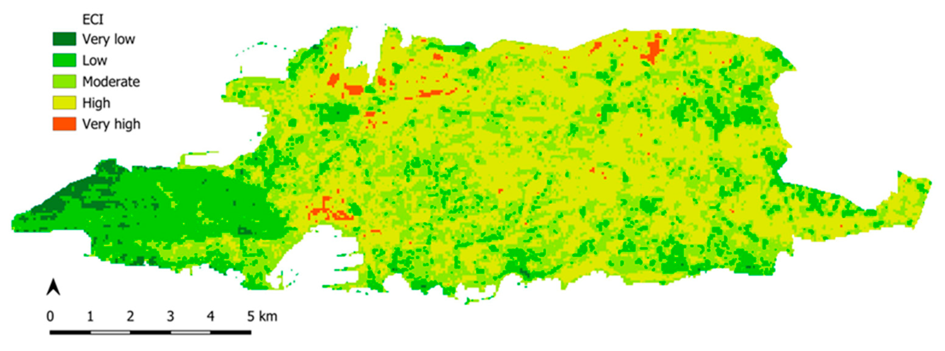
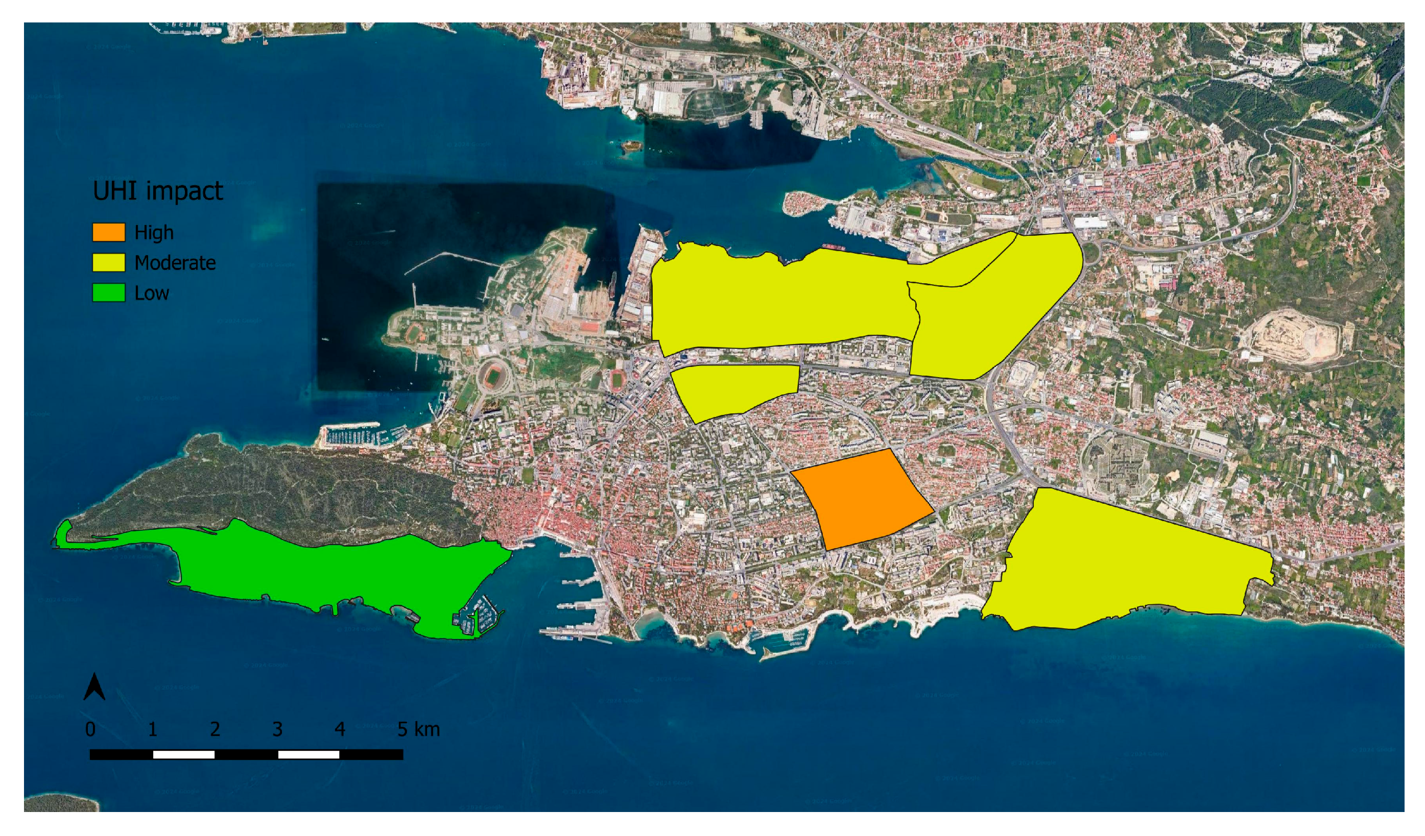
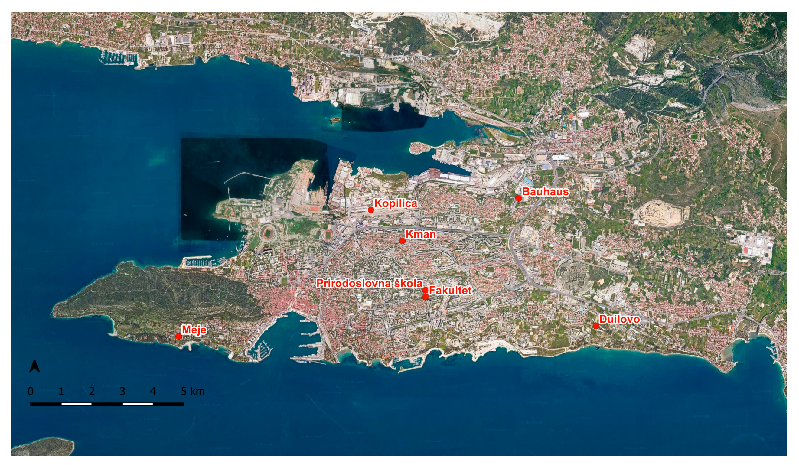
Urban heat islands (UHIs) are a phenomenon of temperature rising within urban areas relative to their rural counterparts. UHIs are becoming an increasingly common problem in large cities, which appear due to excessive urbanization and reductions in natural cover and vegetation. This phenomenon negatively affects the quality of life of the residents of the affected city, causing discomfort, reducing air quality, and increasing energy demand. In this study, UHIs were detected and analyzed in the city of Split, Croatia, using data from the Landsat 8 and 9 satellite missions and ground-based measurements of air and land surface temperatures, which were conducted in July, August, and September 2024. This research compares ground-based and sensor-based temperatures, and their analysis results in the proposal of a new index: the Combined Thermal Index. The main feature of this new index, which combines measured and perceived temperature, is to improve the understanding of the impact of UHIs in the city (Split), compared to existing indices. So far, LST and air temperature have not been combined, nor have they been combined with human perception of temperature, which is important in the case of UHIs because it is these people who will ultimately feel a rise in temperature.
Keywords: urban heat islands; land surface temperature; Landsat data; temperature perception; Combined Thermal Index urban heat islands; land surface temperature; Landsat data; temperature perception; Combined Thermal Index