Article

Flood Susceptibility Mapping on a National Scale in Slovakia Using the Analytical Hierarchy Process


Department of Geography and Regional Development, Faculty of Natural Sciences, Constantine the Philosopher University in Nitra, 94901 Nitra, Slovakia
*
Author to whom correspondence should be addressed.
Water 2019, 11(2), 364; https://doi.org/10.3390/w11020364
Submission received: 26 January 2019 / Revised: 18 February 2019 / Accepted: 19 February 2019 / Published: 21 February 2019
(This article belongs to the Section Hydrology)

Abstract

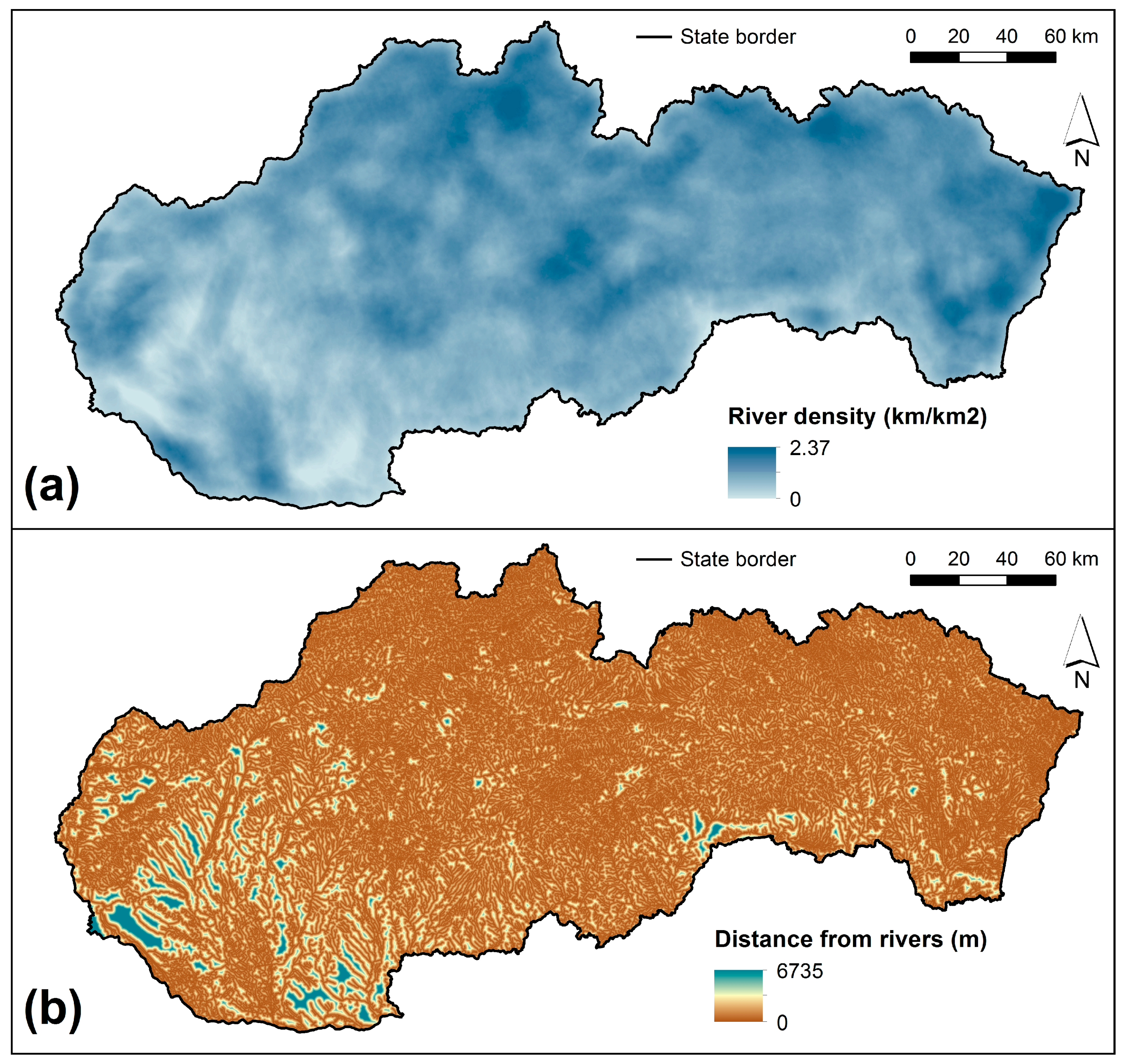
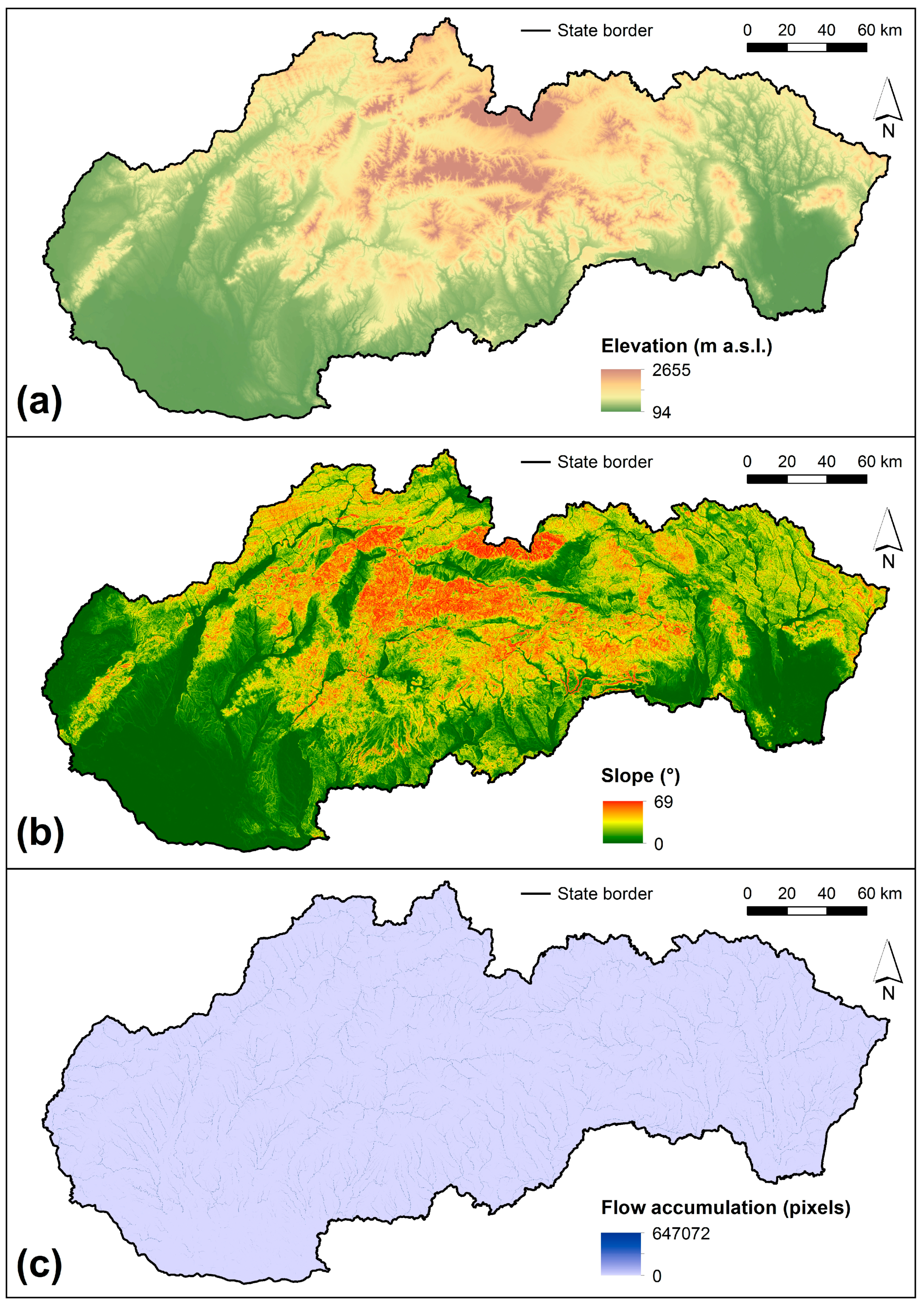
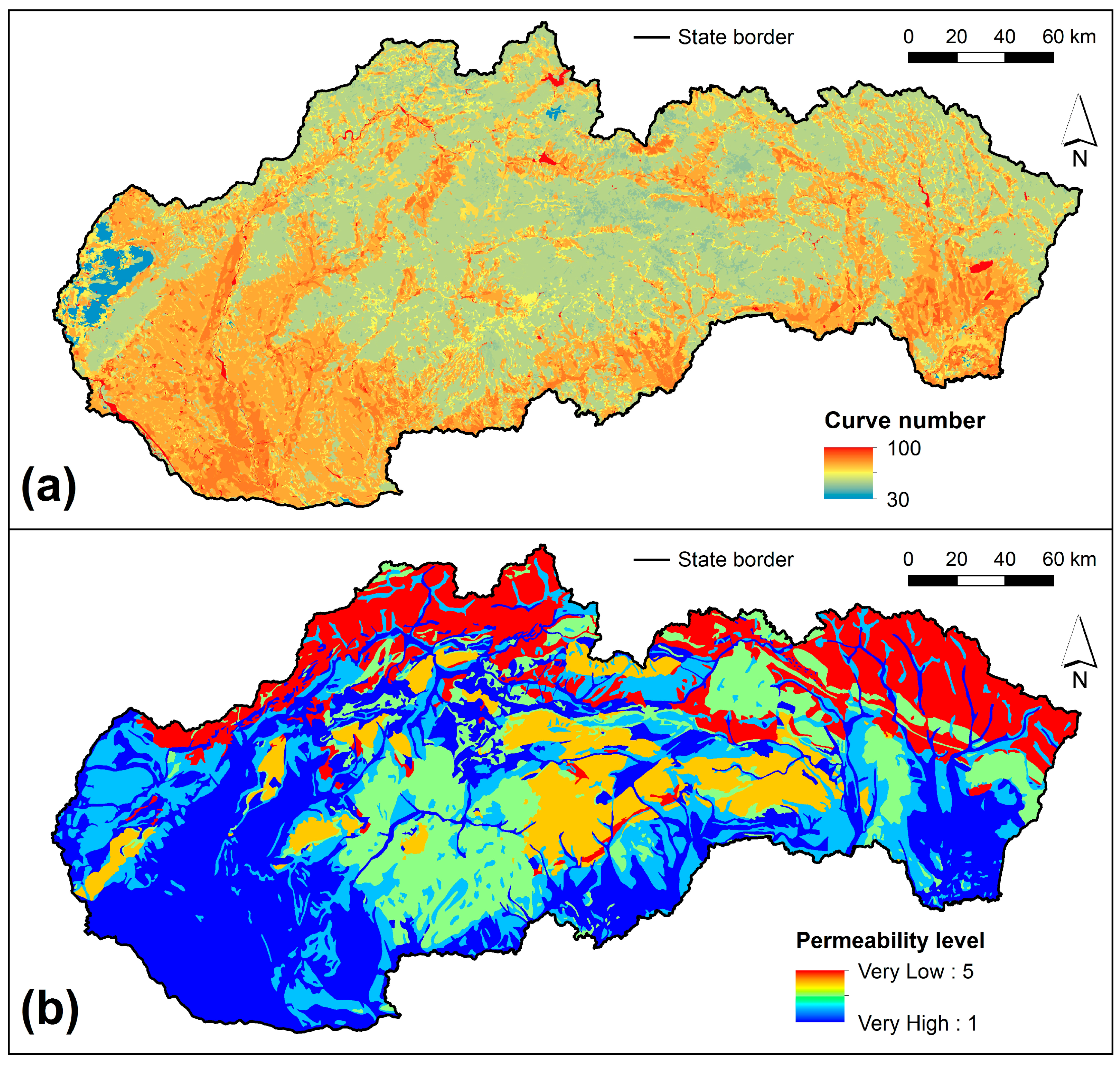
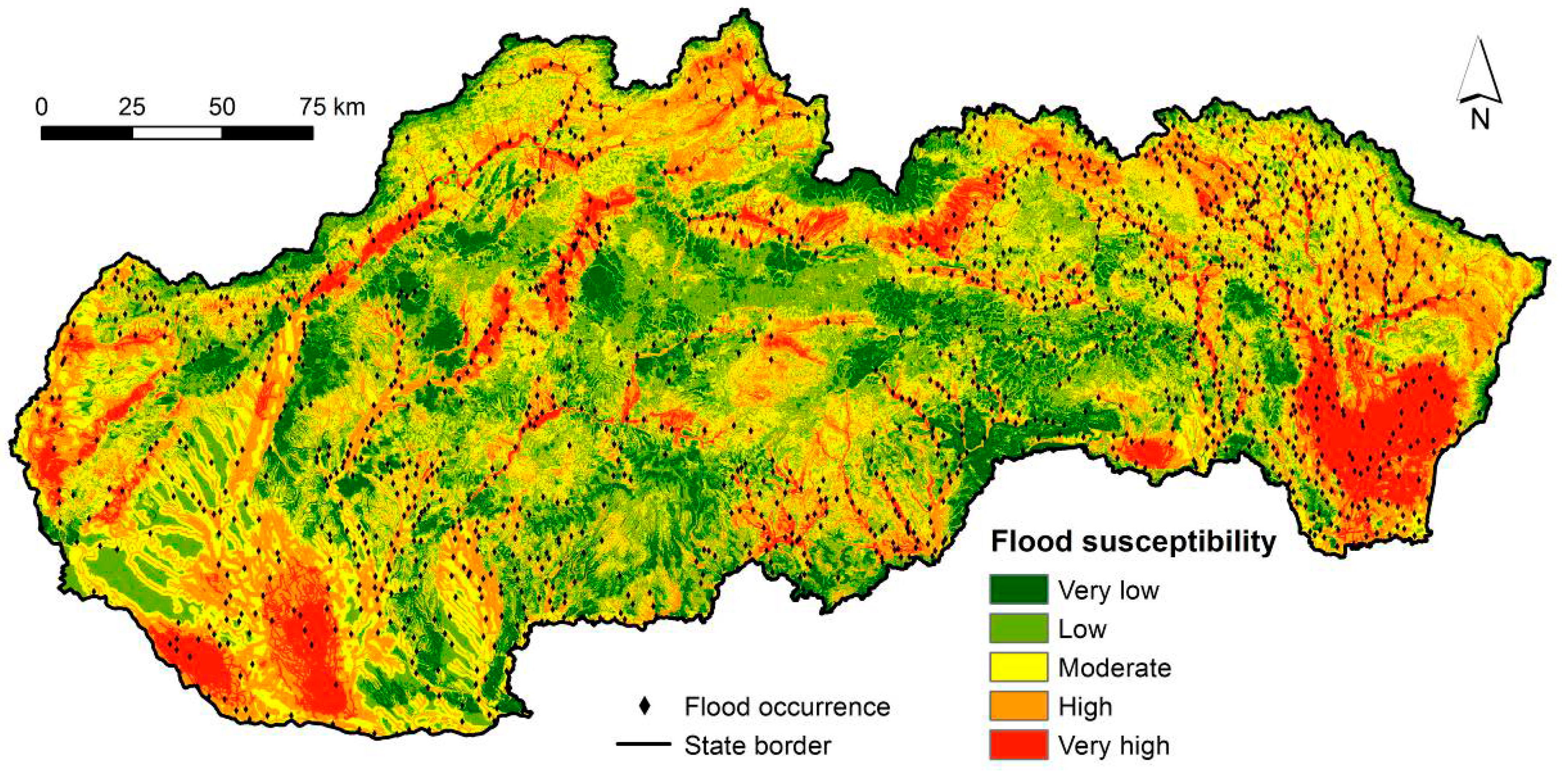
Flood susceptibility mapping and assessment is an important element of flood prevention and mitigation strategies because it identifies the most vulnerable areas based on physical characteristics that determine the propensity for flooding. This study aims to define the flood susceptibility zones for the territory of Slovakia using a multi-criteria approach, particularly the analytical hierarchy process (AHP) technique, and geographic information systems (GIS). Seven flood conditioning factors were chosen: hydrography—distance from rivers, river network density; hydrology—flow accumulation; morphometry—elevation, slope; and permeability—curve numbers, lithology. All factors were defined as raster datasets with the resolution of 50 x 50 m. The AHP technique was used to calculate the factor weights. The relative importance of the selected factors prioritized slope degree as the most important factor followed by river network density, distance from rivers, flow accumulation, elevation, curve number, and lithology. It was found that 33.1% of the territory of Slovakia is characterized by very high to high flood susceptibility. The flood susceptibility map was validated against 1513 flood historical points showing very good agreement between the computed susceptibility zones and historical flood events of which 70.9% were coincident with high and very high susceptibility levels, thus confirming the effectiveness of the methodology adopted.
Keywords: flood; susceptibility; Slovakia; analytical hierarchy process; multi-criteria decision analysis; weight linear combination; GIS flood; susceptibility; Slovakia; analytical hierarchy process; multi-criteria decision analysis; weight linear combination; GIS