Article

Determination of Air Urban Heat Island Parameters with High-Precision GPS Data
1
Instituto de Geografía, Universidad Nacional Autónoma de México, Mexico City 04510, Mexico
2
Department of Land Surveying and Geo-Informatics, The Hong Kong Polytechnic University, Hong Kong, China
3
School of Geographical Sciences, University of Nottingham Ningbo China, Ningbo 315104, China
4
The Nottingham Geospatial Institute, The University of Nottingham, Nottingham NG7 2RD, UK
*
Author to whom correspondence should be addressed.
Atmosphere 2022, 13(3), 417; https://doi.org/10.3390/atmos13030417
Submission received: 26 January 2022 / Revised: 27 February 2022 / Accepted: 27 February 2022 / Published: 3 March 2022
(This article belongs to the Special Issue Urban Heat Islands and Global Warming)

Abstract

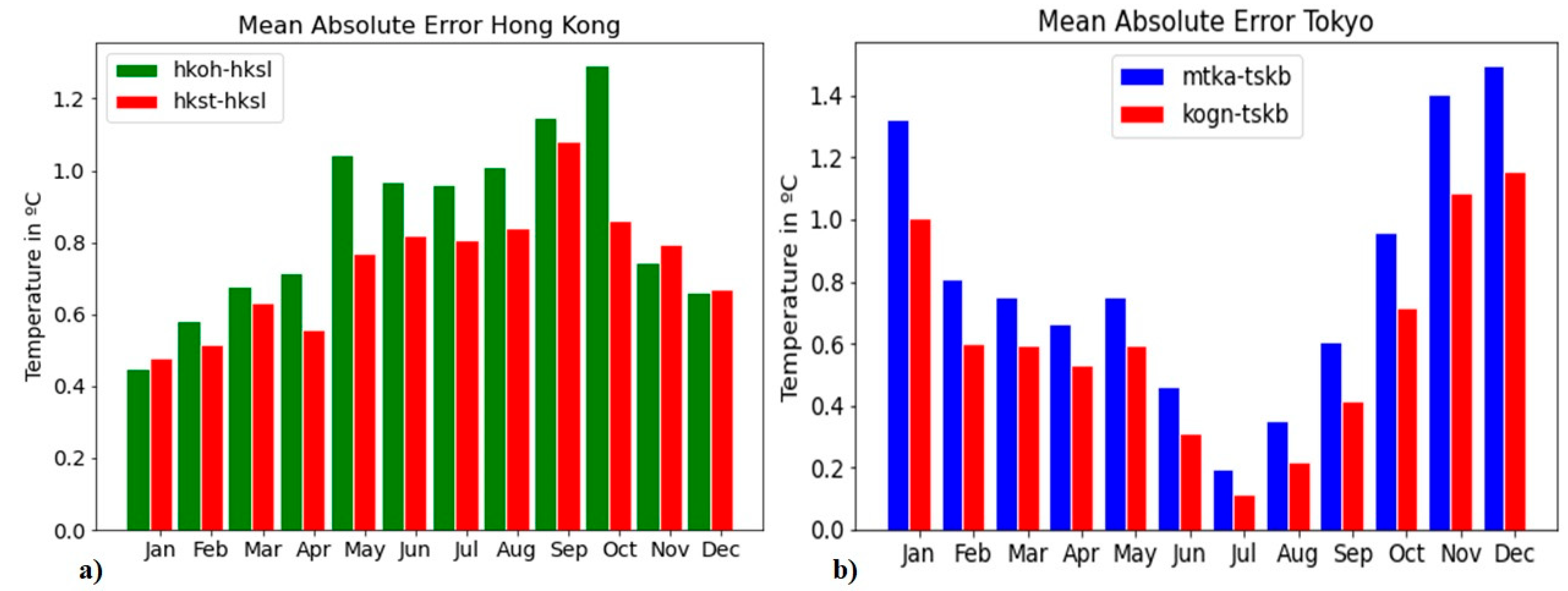
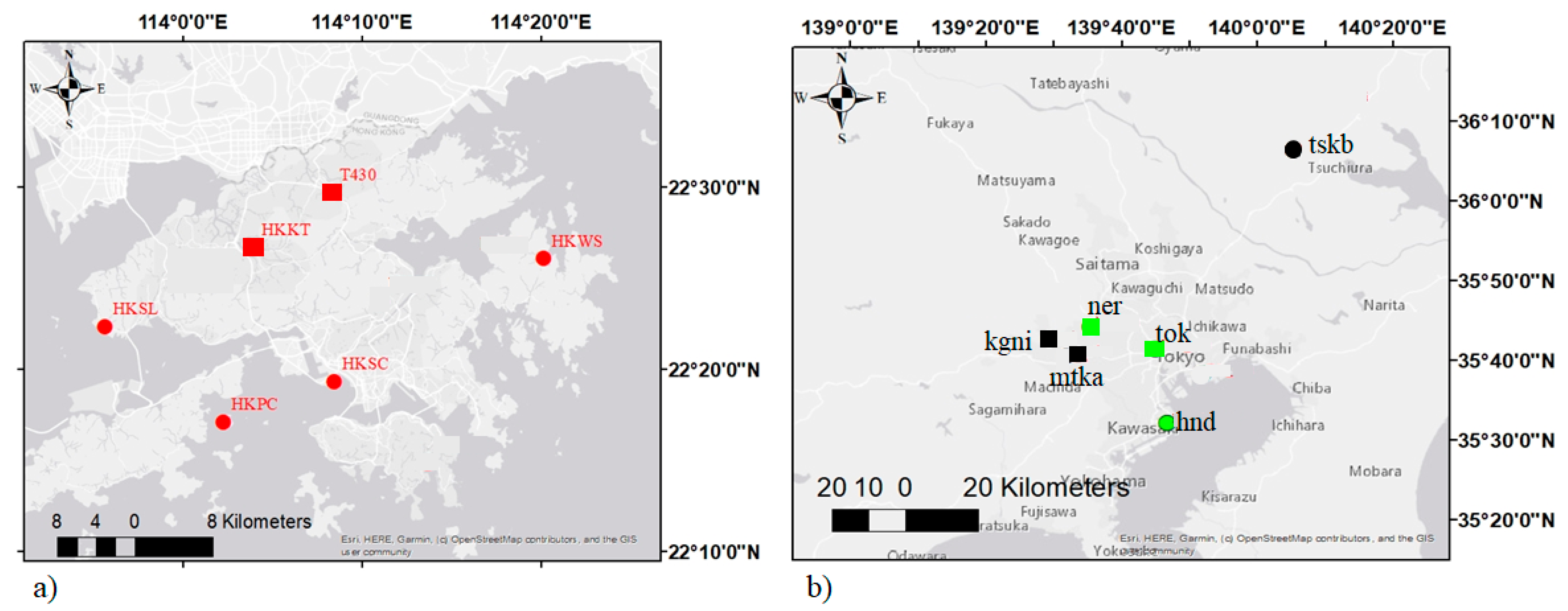
The urban heat island (UHI) effect can contribute to extreme heat exposure. This can be detrimental to human health. In this paper, we propose a method to estimate air temperature to evaluate the spatial distribution and to monitor the intensity of the air urban heat island (AUHI) from existing GPS infrastructure. The proposed algorithm is based on the relationship between the refractivity of the troposphere and environmental variables, as well as the relationships between the zenith tropospheric delay (ZTD), a by-product of the precise point positioning technique, and the refractivity of the troposphere. The advantage of GPS data is its high temporal resolution and the availability of embedded GPS receivers. In this paper, GPS-derived ZTD data from stations in the Hong Kong Special Administrative Region (HKSAR) of China and Tokyo in Japan are processed to estimate the hourly AUHI intensity. The results derived from this technique are validated using meteorological data in the same cities. Mean absolute error values of 0.79 °C in Hong Kong and 0.22 °C in Tokyo are found from data from the summer. Moreover, an overall accuracy of 0.51 °C is found.
Keywords: urban heat island; GPS meteorology remote sensing; precise point positioning; tropospheric delay; zenith tropospheric delay; UHI diurnal cycle; Hong Kong; Tokyo urban heat island; GPS meteorology remote sensing; precise point positioning; tropospheric delay; zenith tropospheric delay; UHI diurnal cycle; Hong Kong; Tokyo