Article

Mapping Green Spaces in Bishkek—How Reliable can Spatial Analysis Be?

1
Department of GIScience, Austrian Academy of Sciences, Schillerstr. 30, A-5020 Salzburg, Austria
2
Centre for Geoinformatics, University of Salzburg, Hellbrunnerstr. 34, A-5020 Salzburg, Austria
3
Austria-Central Asia Centre for GIScience, Maldybaeva Street 34 “B”, Bischkek 720020, Kyrgyzstan
*
Author to whom correspondence should be addressed.
Remote Sens. 2011, 3(6), 1088-1103; https://doi.org/10.3390/rs3061088
Submission received: 19 April 2011 / Revised: 16 May 2011 / Accepted: 17 May 2011 / Published: 30 May 2011
(This article belongs to the Special Issue Urban Remote Sensing)

Abstract

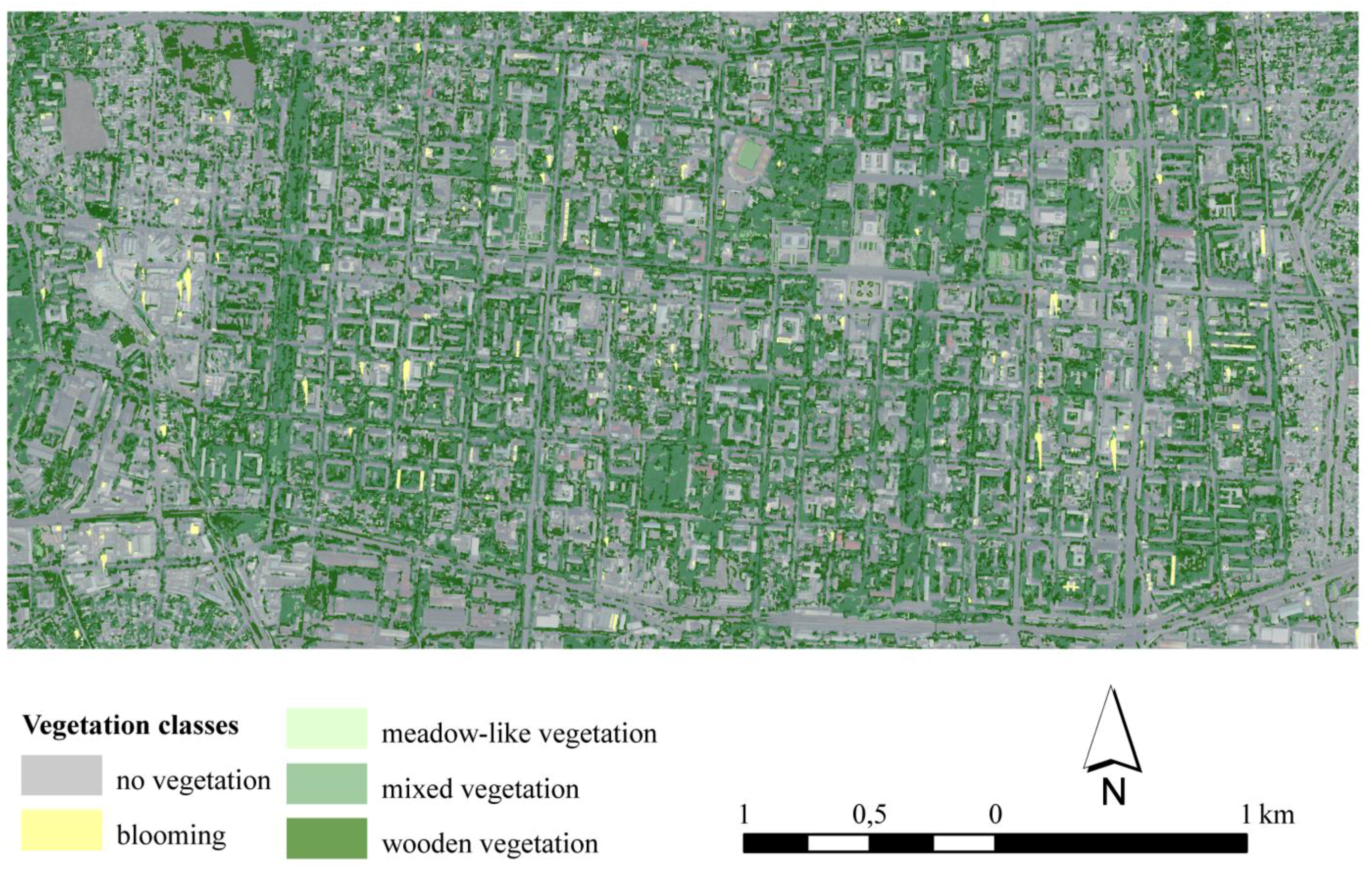
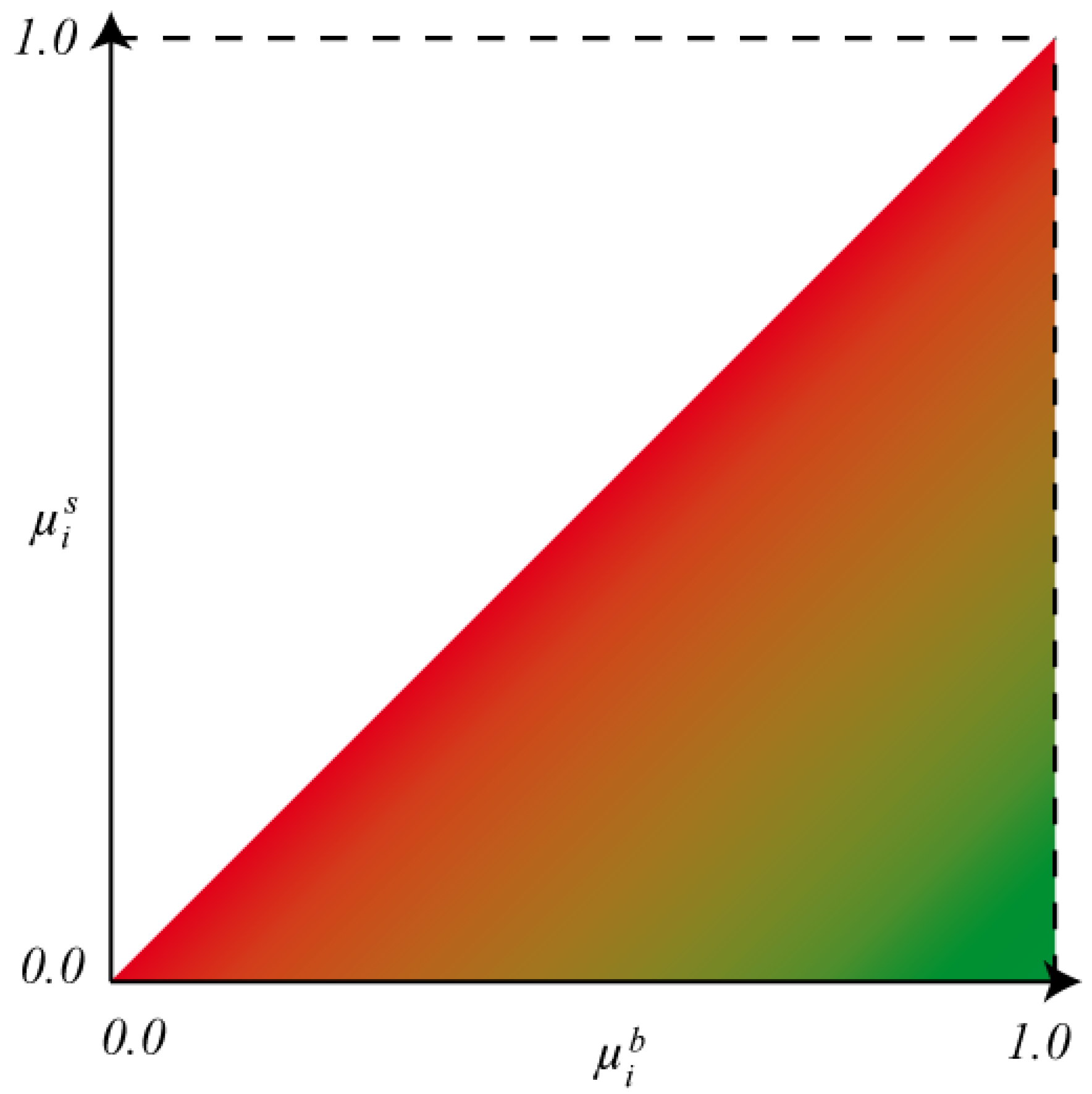
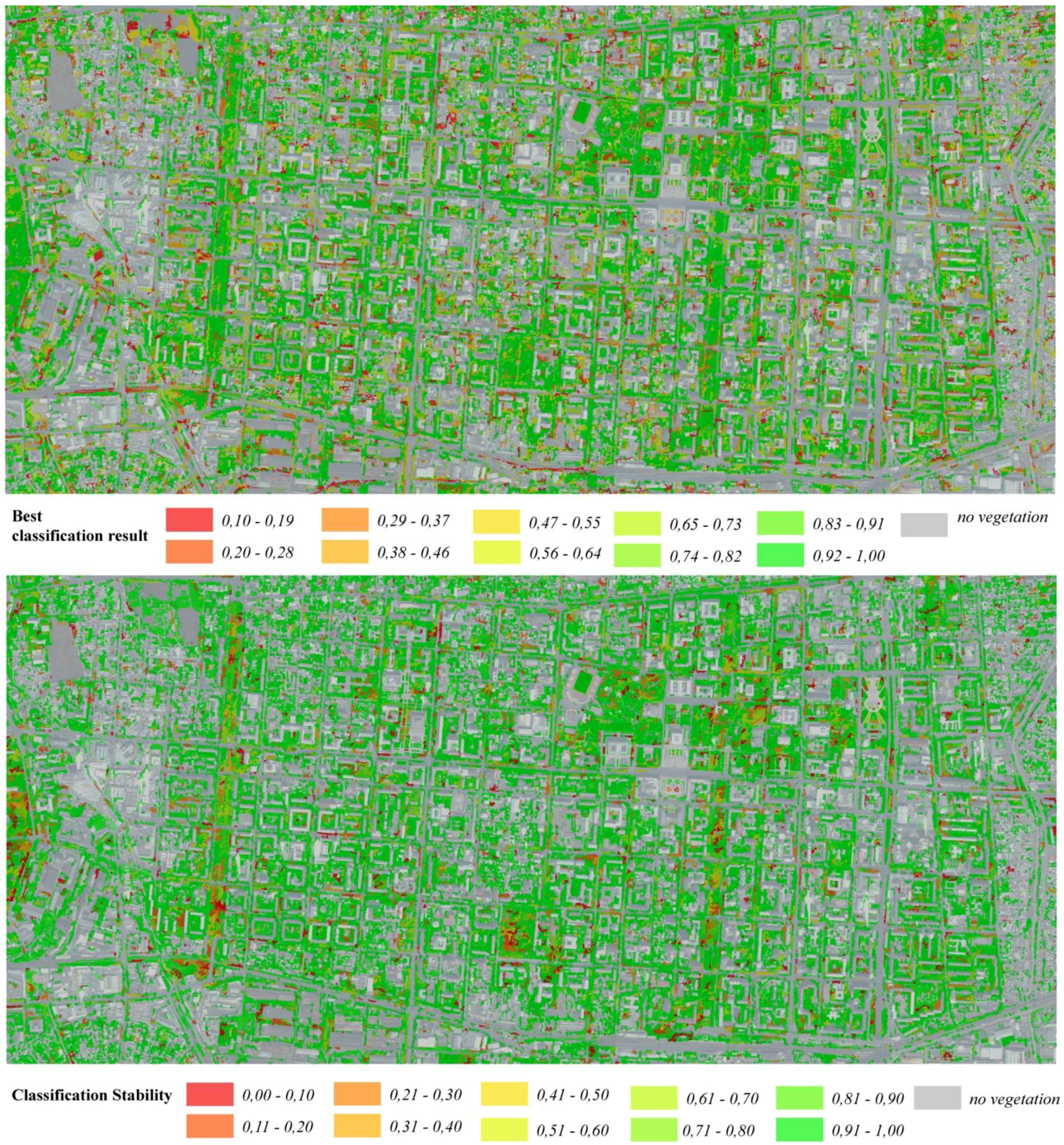
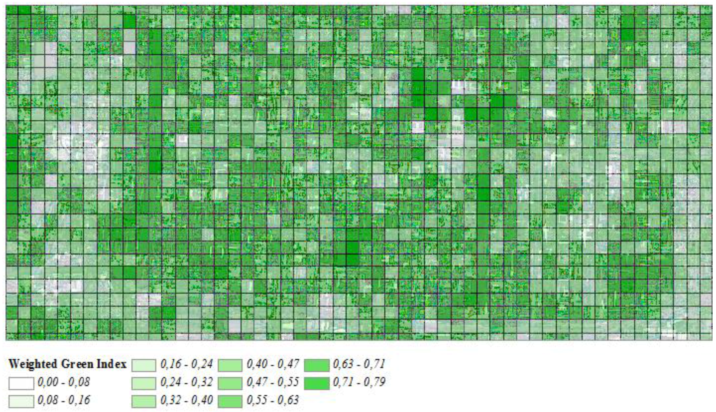
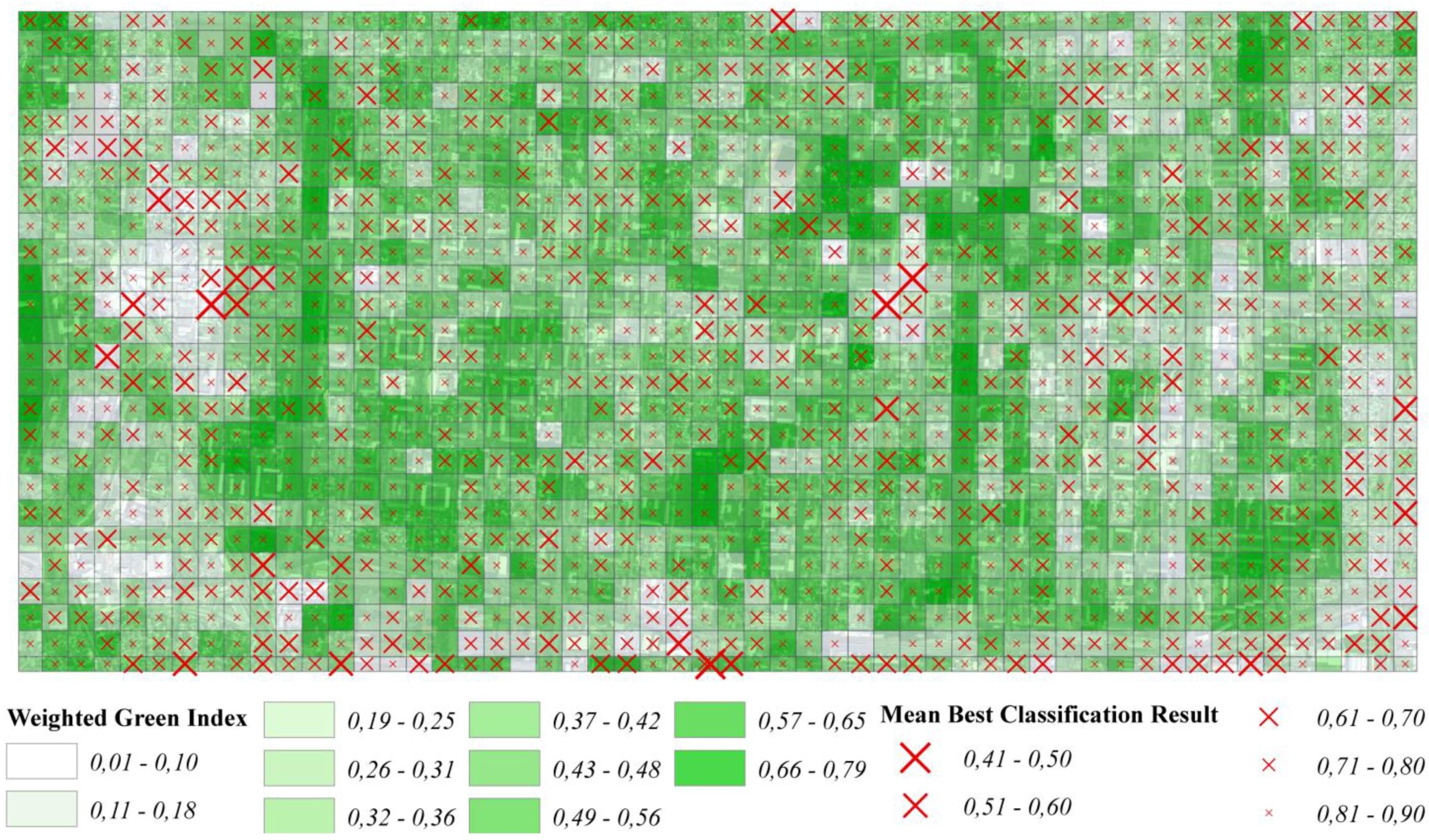
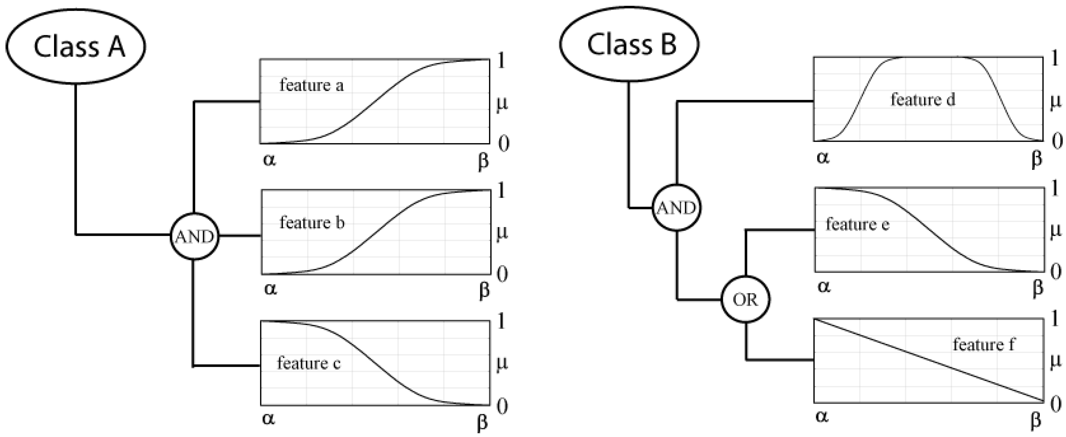
Within urban areas, green spaces play a critically important role in the quality of life. They have remarkable impact on the local microclimate and the regional climate of the city. Quantifying the ‘greenness’ of urban areas allows comparing urban areas at several levels, as well as monitoring the evolution of green spaces in urban areas, thus serving as a tool for urban and developmental planning. Different categories of vegetation have different impacts on recreation potential and microclimate, as well as on the individual perception of green spaces. However, when quantifying the ‘greenness’ of urban areas the reliability of the underlying information is important in order to qualify analysis results. The reliability of geo-information derived from remote sensing data is usually assessed by ground truth validation or by comparison with other reference data. When applying methods of object based image analysis (OBIA) and fuzzy classification, the degrees of fuzzy membership per object in general describe to what degree an object fits (prototypical) class descriptions. Thus, analyzing the fuzzy membership degrees can contribute to the estimation of reliability and stability of classification results, even when no reference data are available. This paper presents an object based method using fuzzy class assignments to outline and classify three different classes of vegetation from GeoEye imagery. The classification result, its reliability and stability are evaluated using the reference-free parameters Best Classification Result and Classification Stability as introduced by Benz et al. in 2004 and implemented in the software package eCognition (www.ecognition.com). To demonstrate the application potentials of results a scenario for quantifying urban ‘greenness’ is presented.
Keywords: Object Based Image Analysis; GeoEye; urban green; fuzzy classification; classification reliability Object Based Image Analysis; GeoEye; urban green; fuzzy classification; classification reliability