Article

Construction and Validation of a High-Fidelity Virtual Scene for Low-Stature and High-Biodiversity Ecosystems—Simulating Multi-Modal Sensing Approaches


by
Manisha Das Chaity
*,
Ramesh Bhatta
,
Byron Eng
and
Jan van Aardt
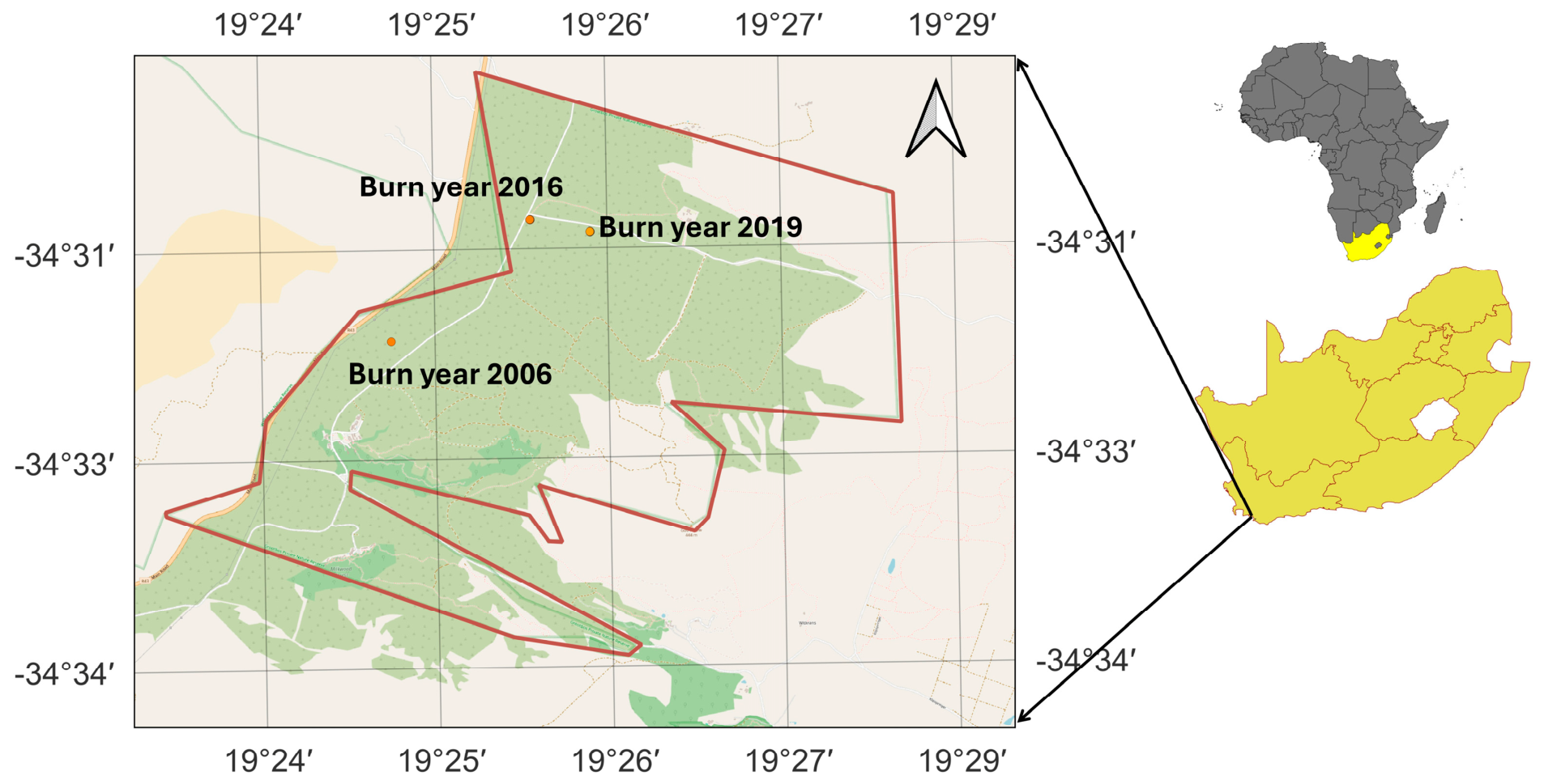
Imaging Science, Rochester Institute of Technology, Rochester, NY 14623, USA
*
Author to whom correspondence should be addressed.
Remote Sens. 2026, 18(16), 2816; https://doi.org/10.3390/rs18162816
Submission received: 17 June 2026 / Revised: 8 August 2026 / Accepted: 19 August 2026 / Published: 20 August 2026

Abstract

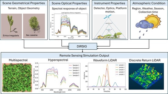
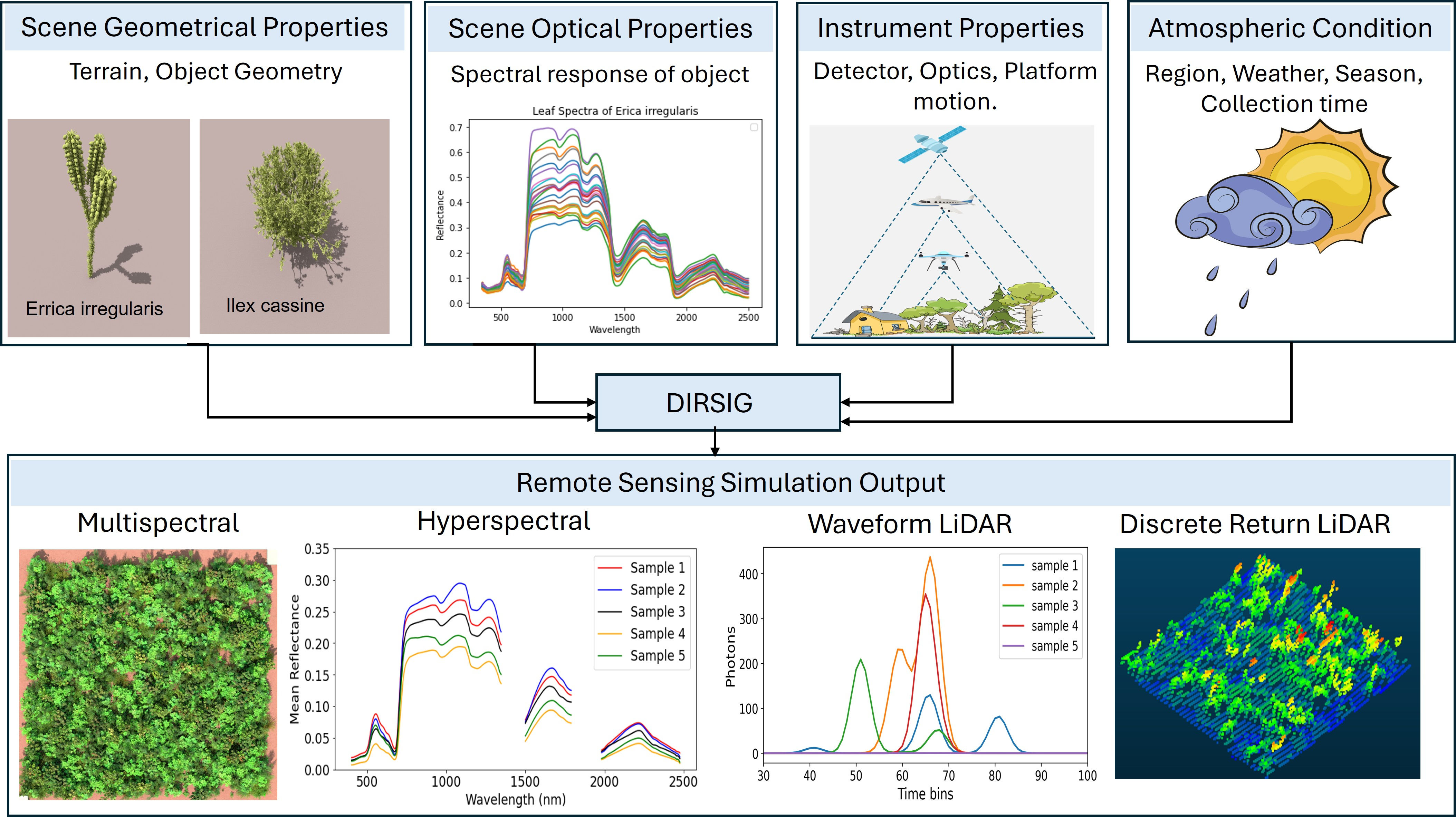
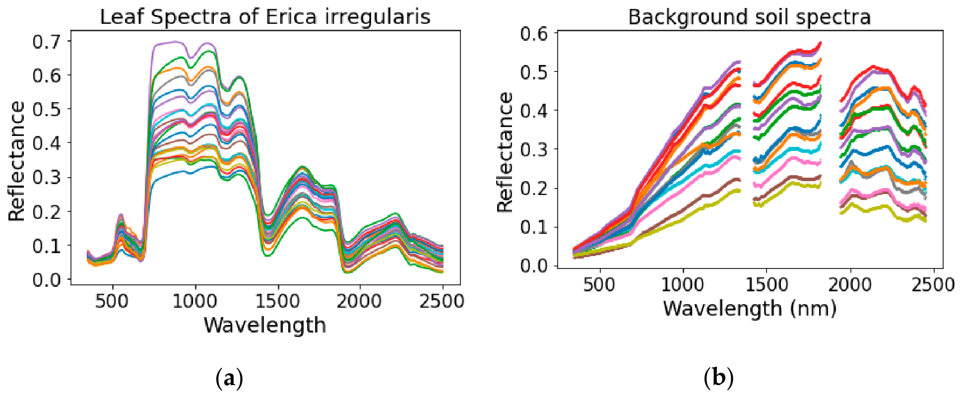
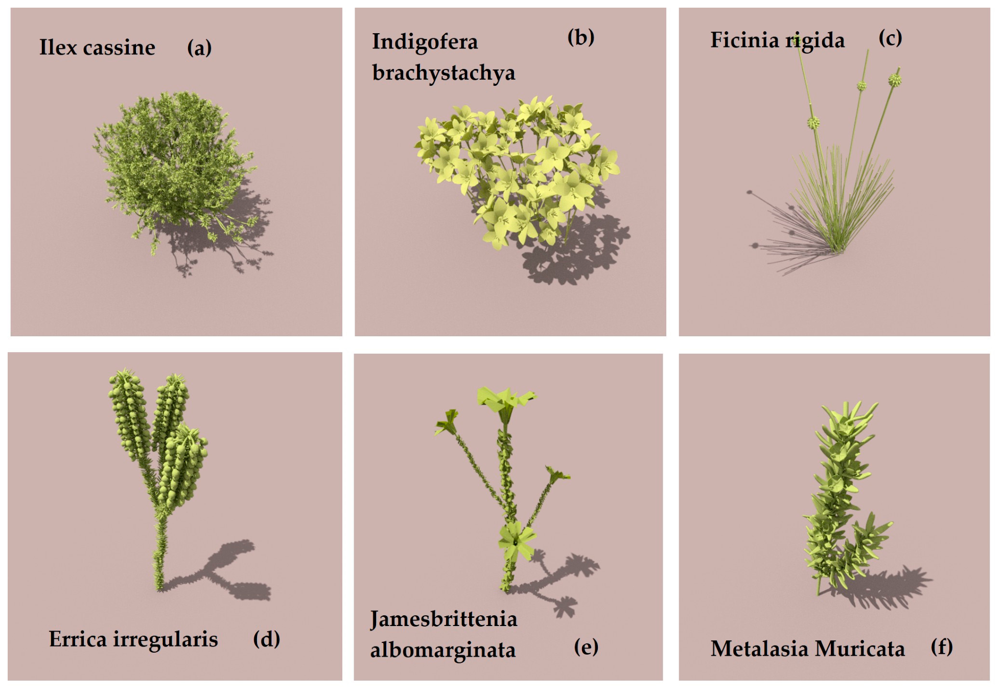
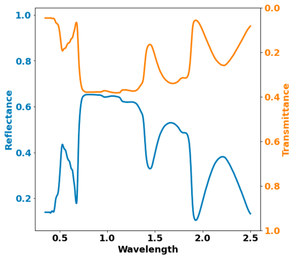
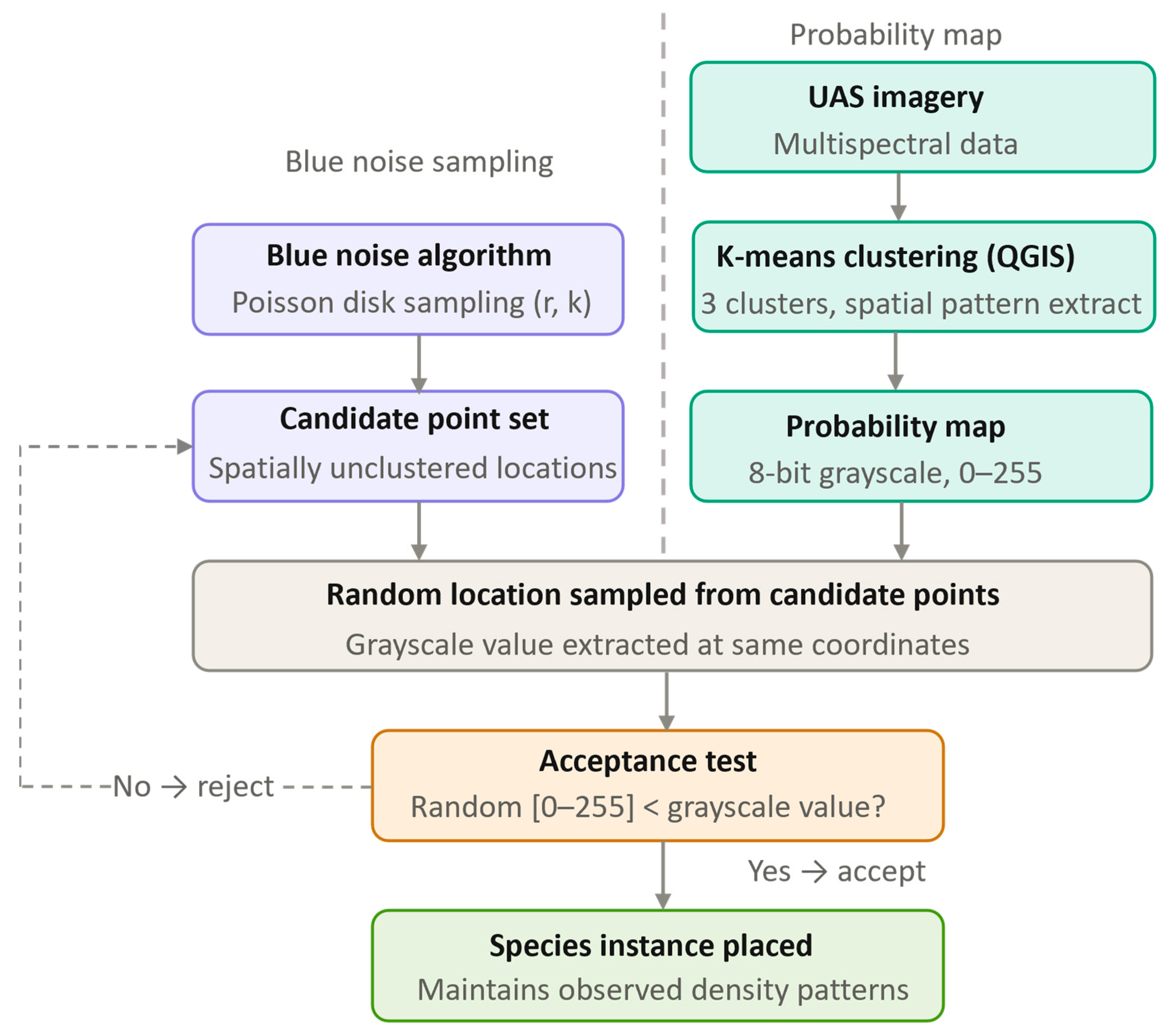
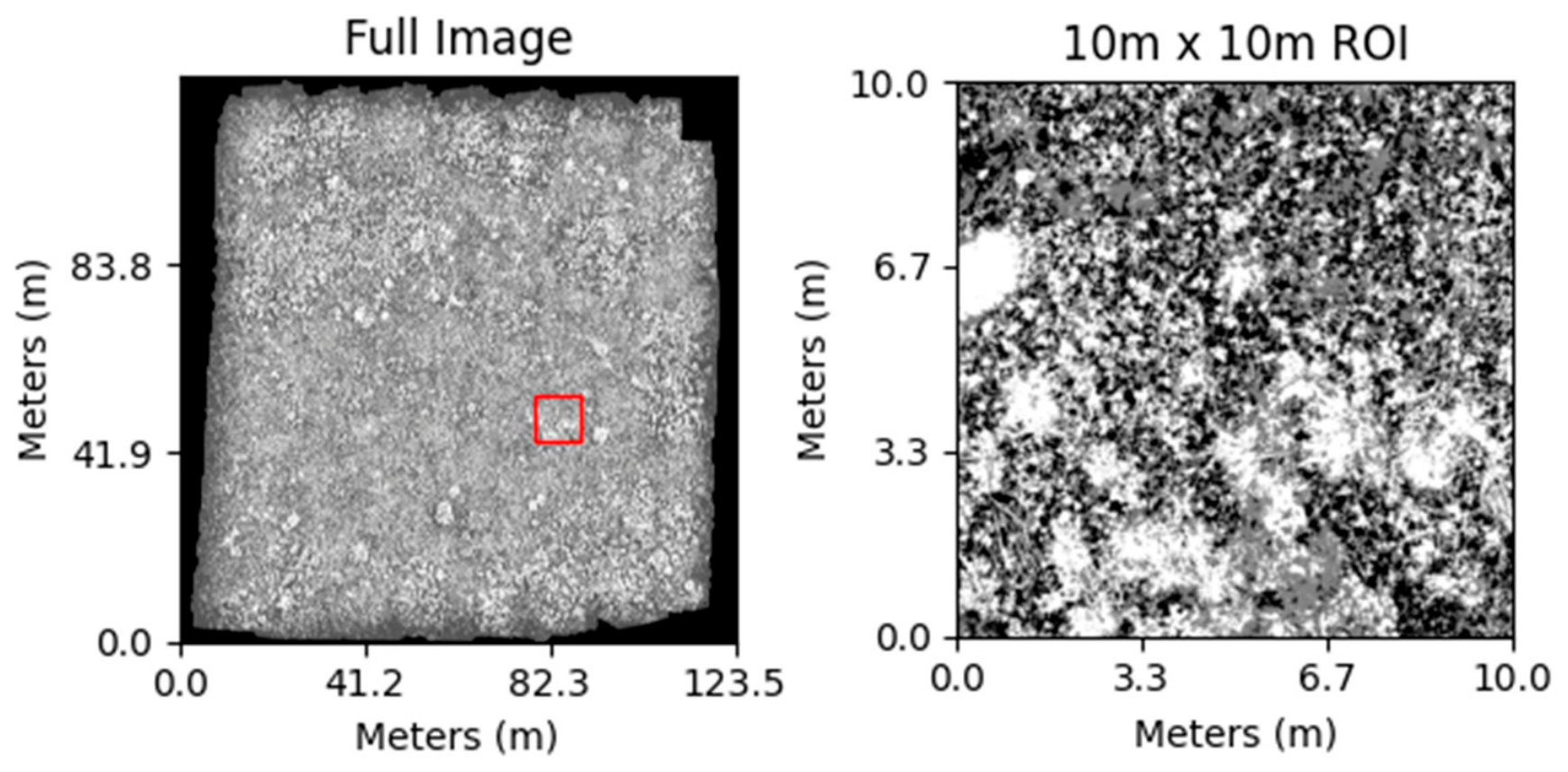
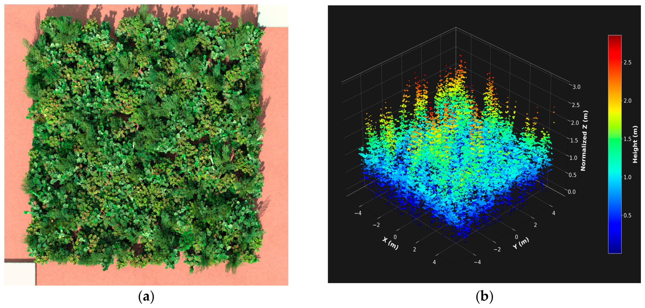
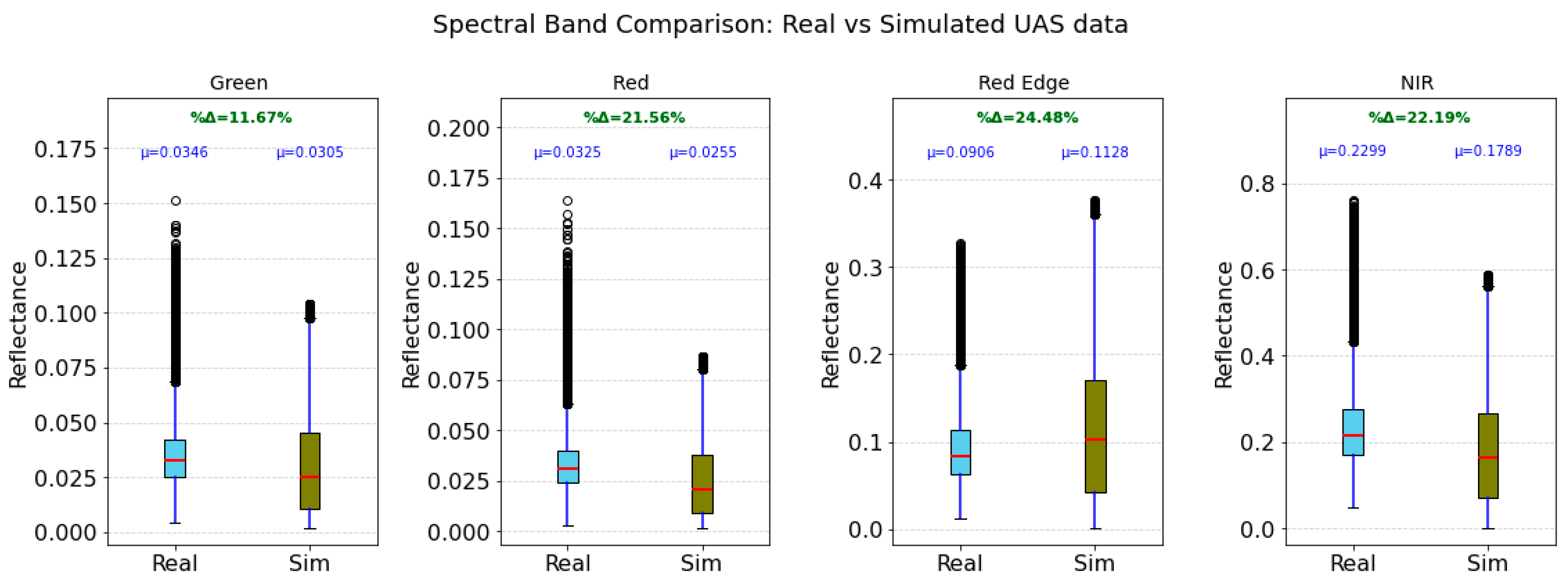
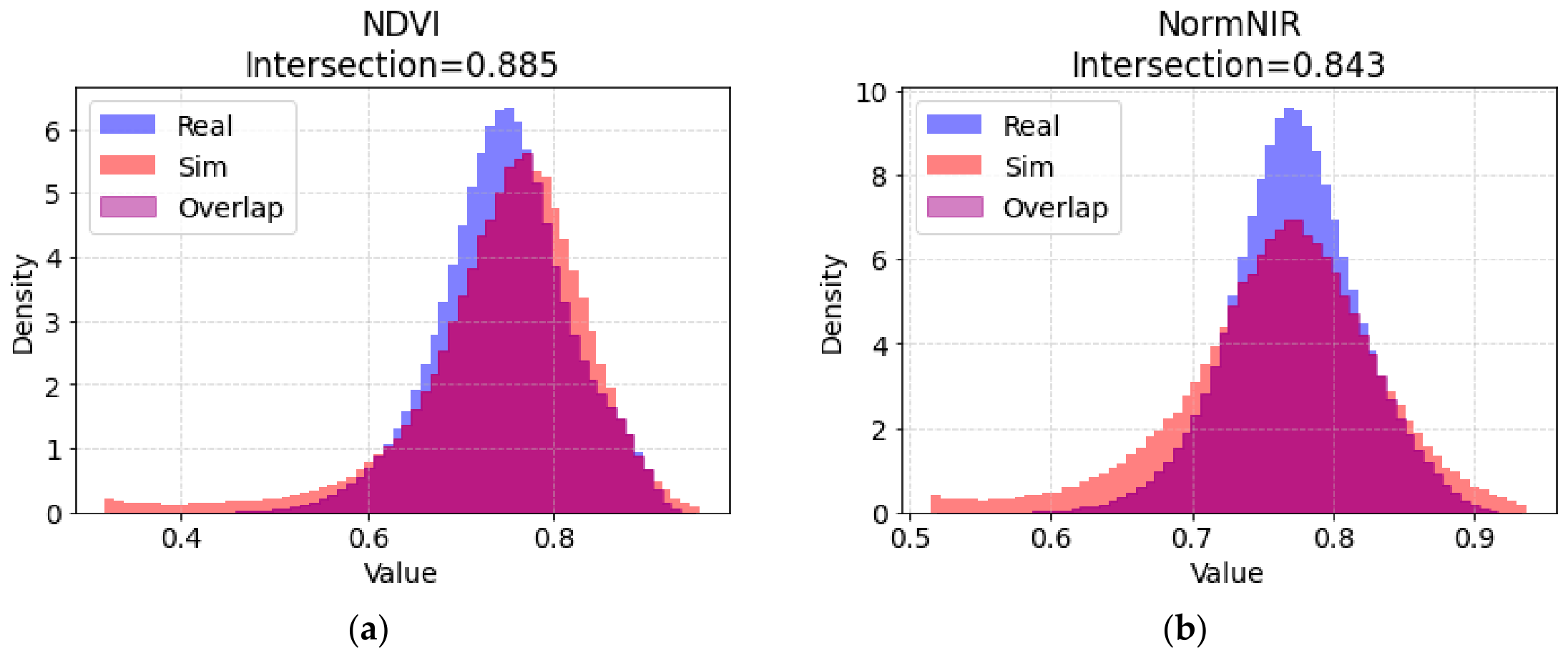
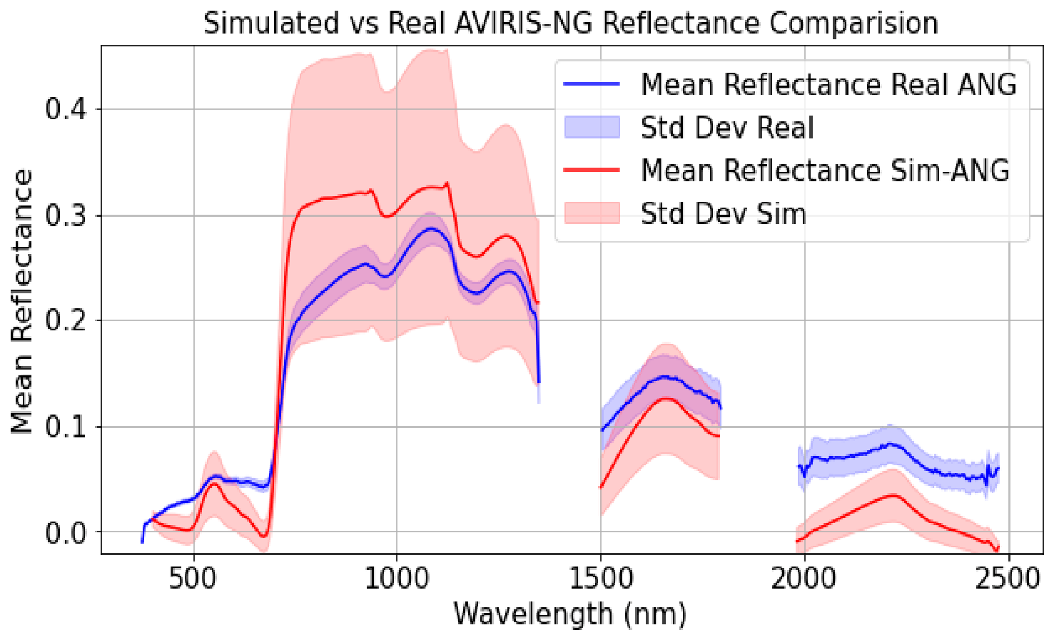
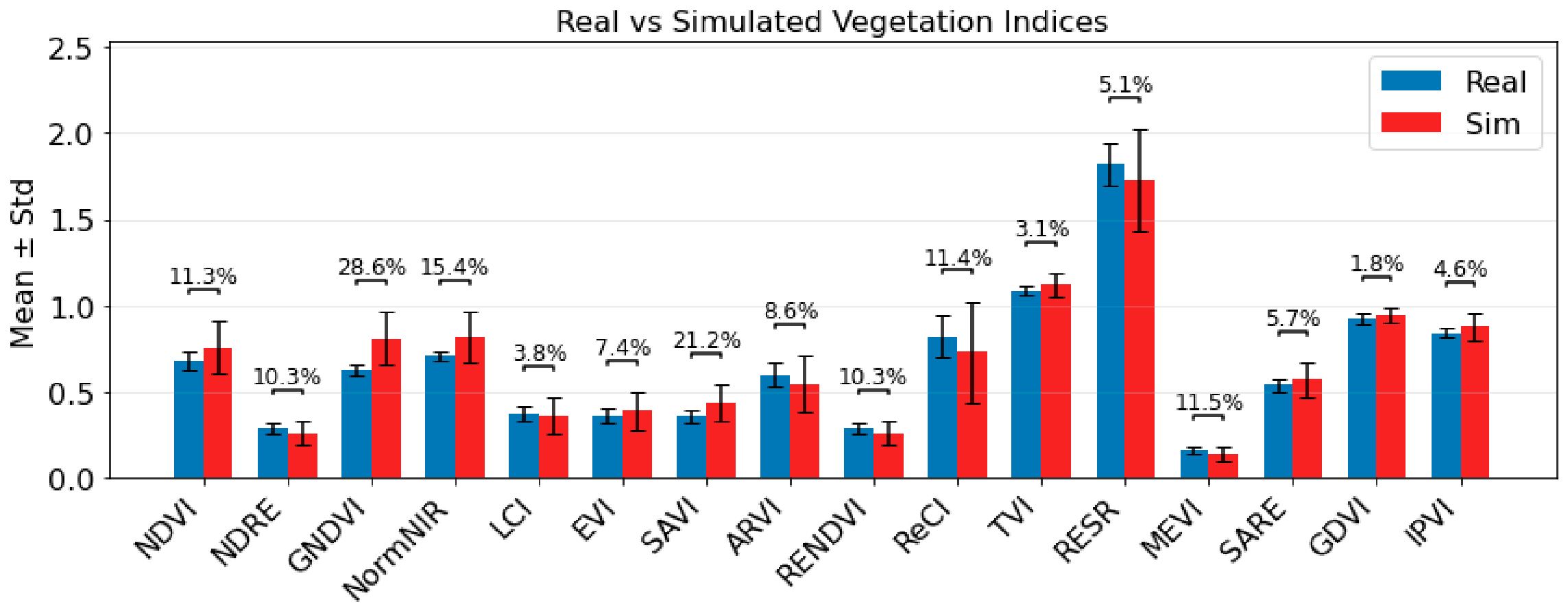
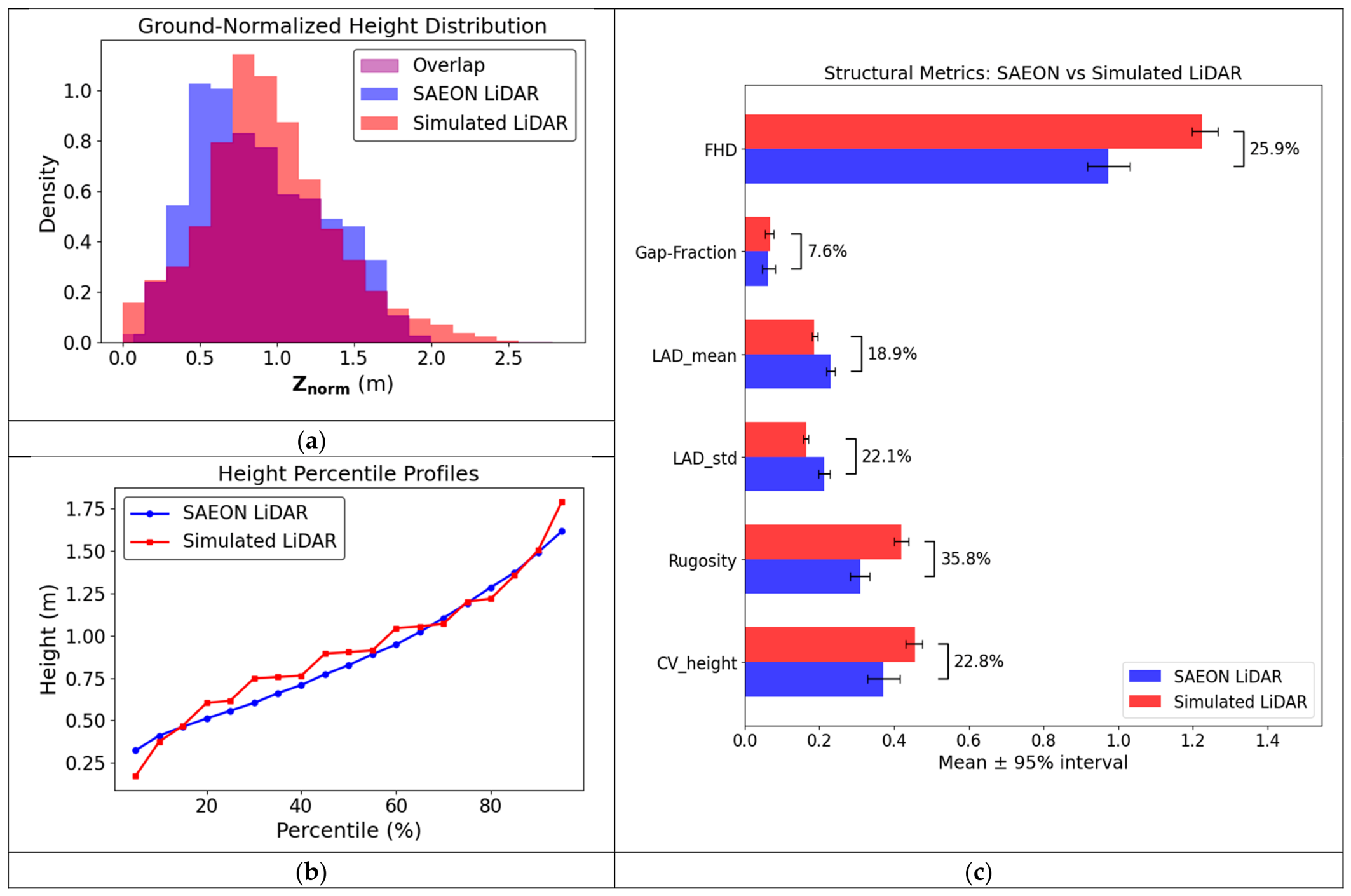
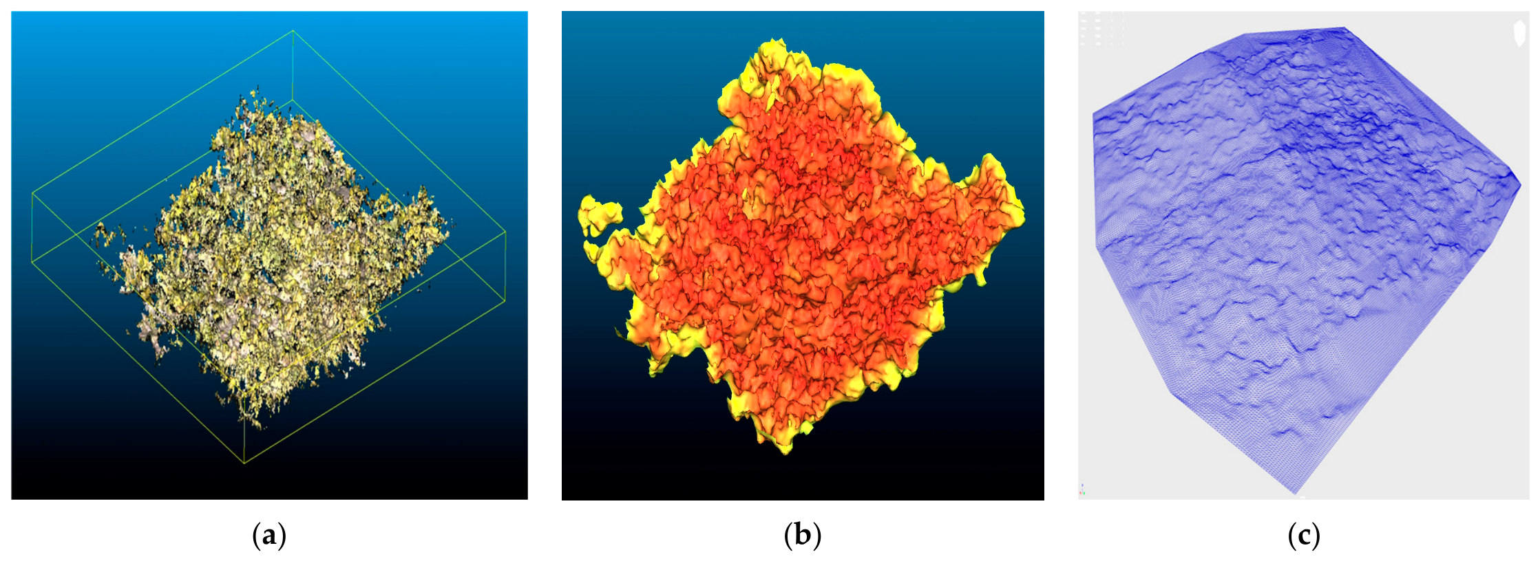
The Greater Cape Floristic Region (GCFR) in South Africa is a fire-prone biodiversity hotspot where high species richness, structural complexity, and small plant sizes (0.0001–4 m2) pose substantial challenges for remote sensing-based biodiversity assessment. Spectral similarity among species and the mismatch between plant size and sensor pixel dimensions limit the capacity of current and forthcoming spaceborne systems to resolve individual species and accurately detect plot-level diversity changes. We therefore developed a physics-based simulation framework that couples fynbos trait measurements with radiative transfer modeling in the DIRSIG (Digital Imaging and Remote Sensing Image Generation) environment towards quantifying information loss across spectral and spatial scales and to define theoretical limits for biodiversity monitoring. We constructed a three-dimensional virtual scene of post-fire fynbos communities in Grootbos Private Nature Reserve, integrating high-resolution imagery, terrestrial laser scanning (TLS), and structure-from-motion (SfM)-derived point clouds. Field measurements of mean diameter and percent cover were used to scale vegetation models and constrain species abundance. We distributed plant instances using a blue noise sampling algorithm, guided by density maps derived from unmanned aerial system (UAS) imagery. Species-specific optical properties were parameterized using field-measured reflectance data and the PROSPECT radiative transfer model, while terrain structure was derived from SfM-based digital terrain models. The integrated scene was used to simulate multispectral (DJI Mavic 3 MSI), hyperspectral (AVIRIS-NG), and light detection and ranging (LiDAR) observations. Agreement between simulated outputs were evaluated against corresponding field-acquired datasets using spectral signatures and vegetation indices. This framework enables systematic assessment of sensor specification effects on spectral biodiversity metrics and provides a pathway for evaluating theoretical limits of species discrimination across airborne and satellite platforms.
Keywords: DIRSIG; Fynbos; simulation; radiative transfer model; BiosCape DIRSIG; Fynbos; simulation; radiative transfer model; BiosCape
Graphical Abstract