Article

Forest Community Spatial Modeling Using Machine Learning and Remote Sensing Data

Institute of Environmental Sciences, Kazan Federal University, 5 Tovarisheskaya Str., 420097 Kazan, Russia
*
Author to whom correspondence should be addressed.
Remote Sens. 2024, 16(8), 1371; https://doi.org/10.3390/rs16081371
Submission received: 15 February 2024 / Revised: 29 March 2024 / Accepted: 11 April 2024 / Published: 13 April 2024
(This article belongs to the Special Issue Remote Sensing in Land Management)

Abstract

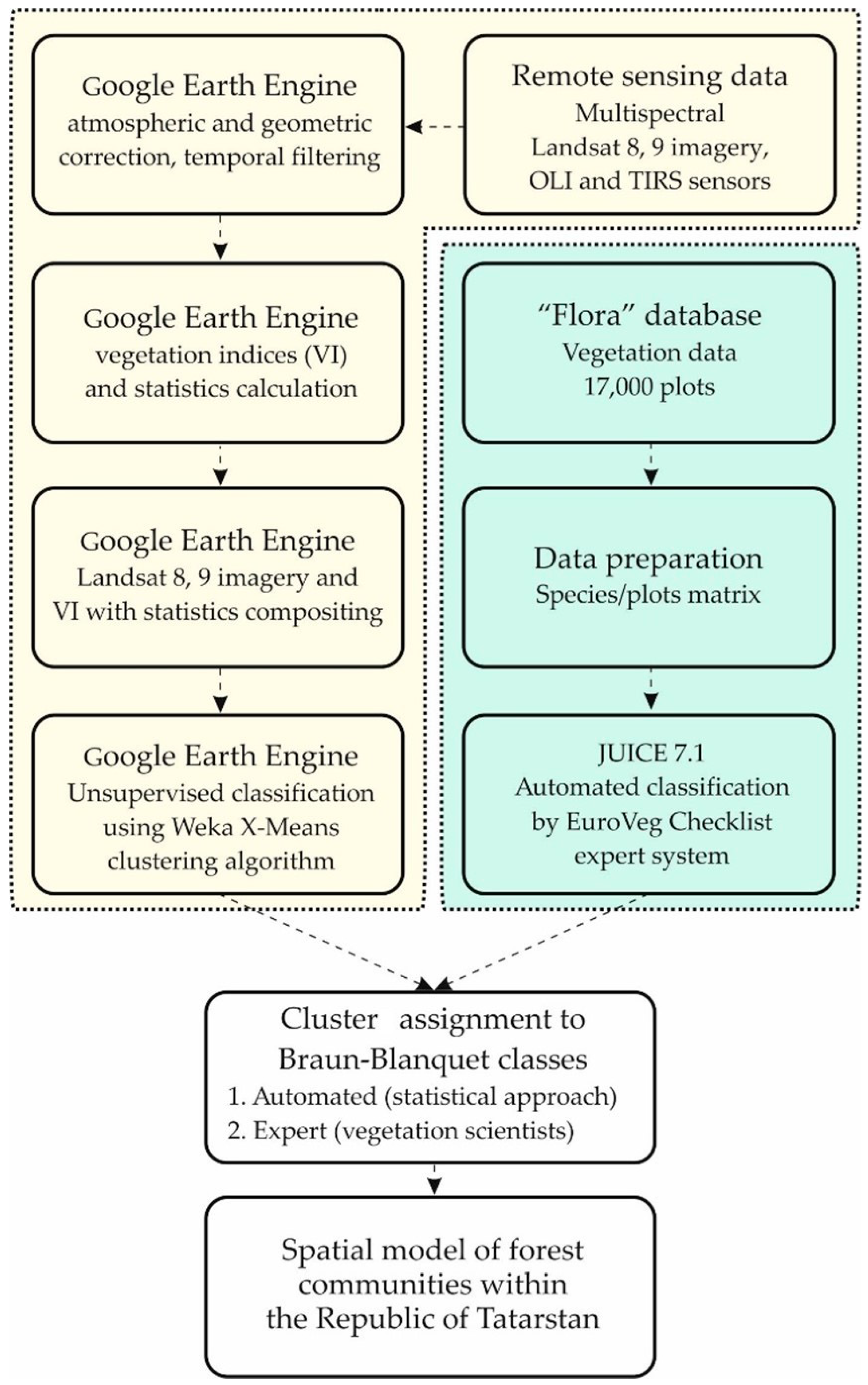
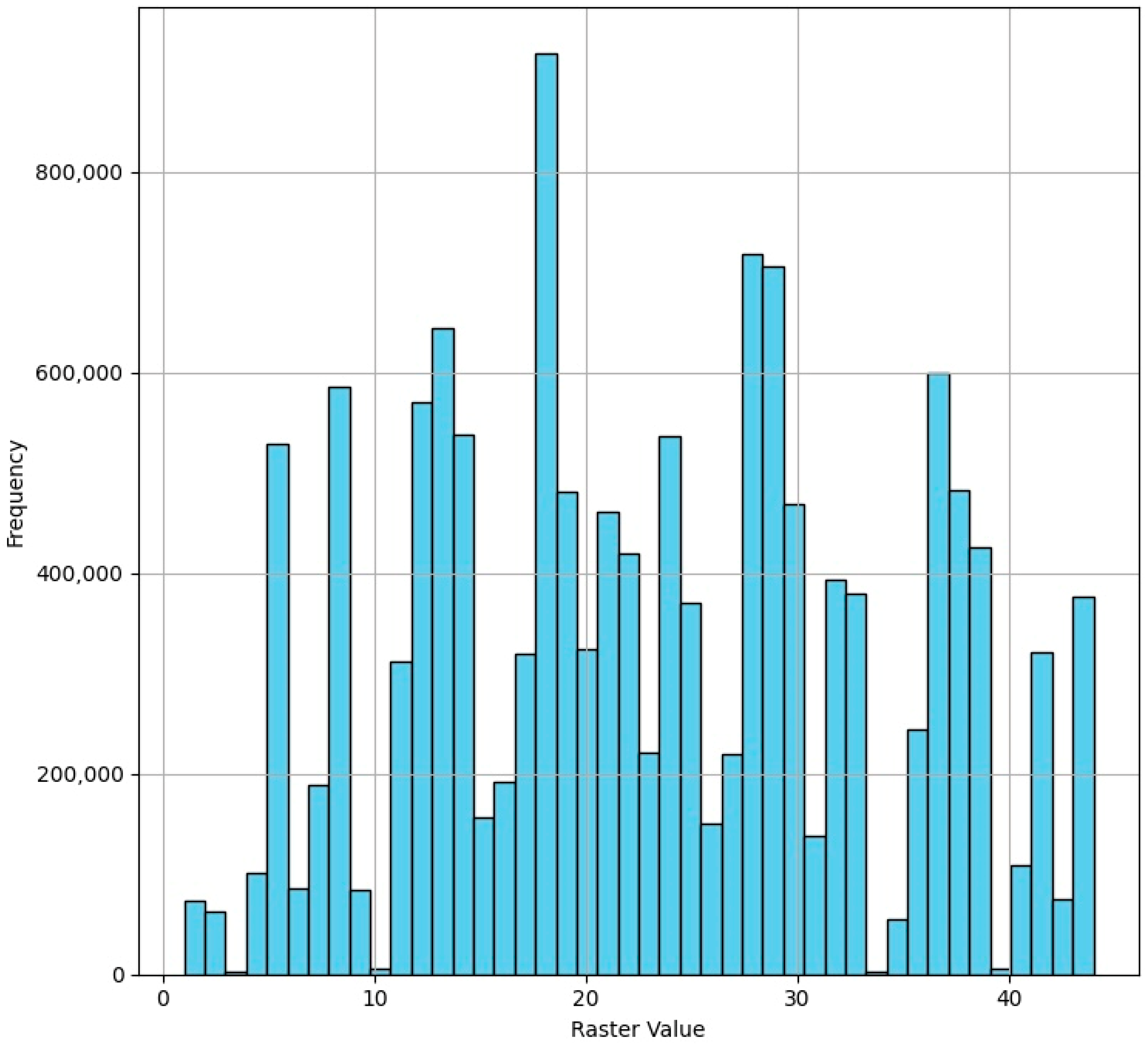
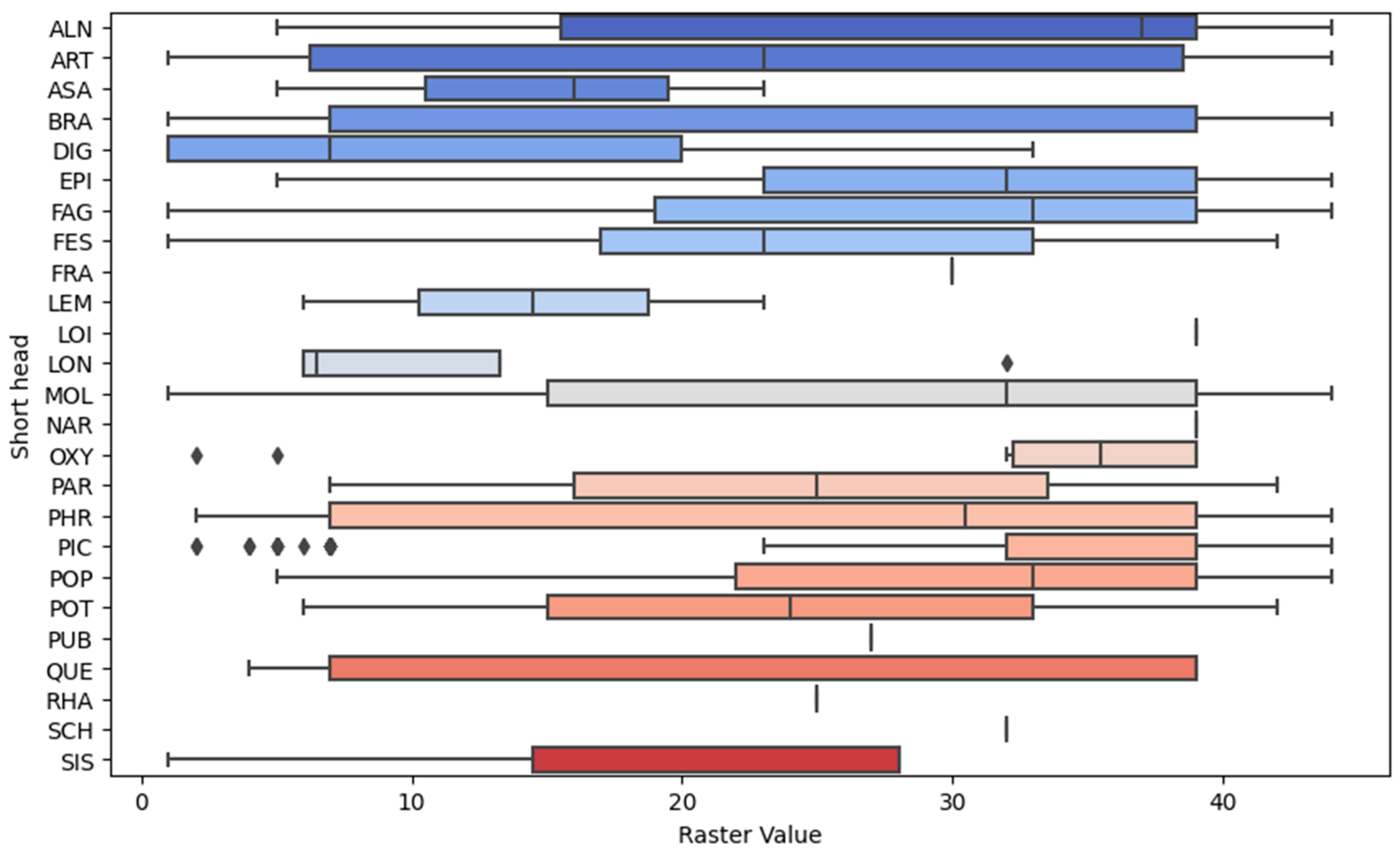
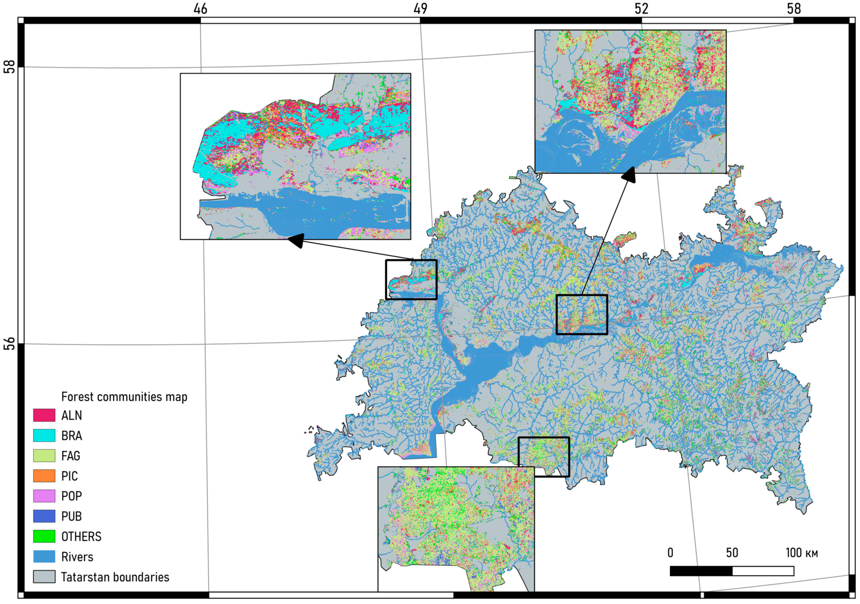
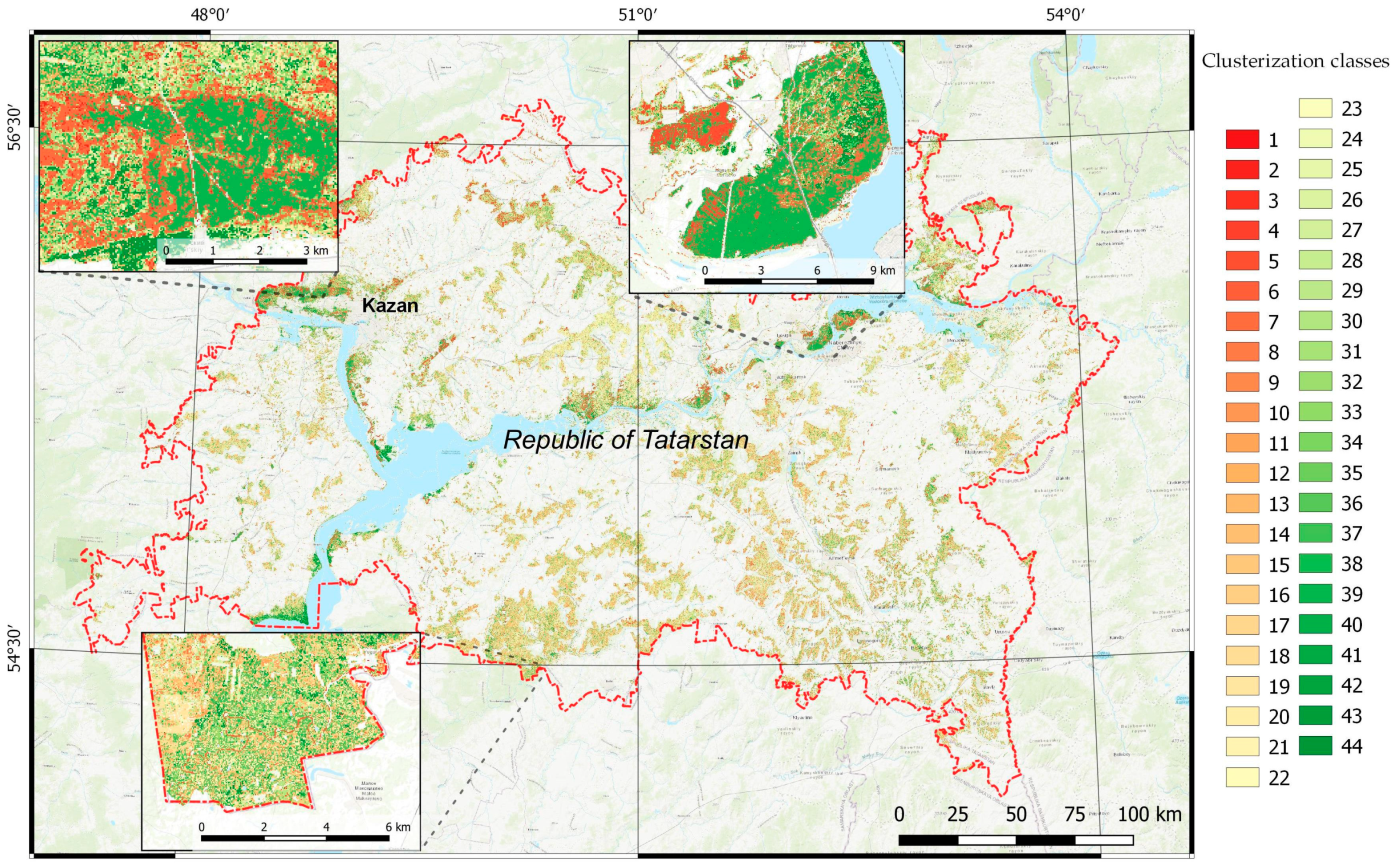
This study examines the application of unsupervised classification techniques in the mapping of forest vegetation, aiming to align vegetation cover with the Braun-Blanquet classification system through remote sensing. By leveraging Landsat 8 and 9 satellite imagery and advanced clustering algorithms, specifically the Weka X-Means, this research addresses the challenge of minimizing researcher subjectivity in vegetation mapping. The methodology incorporates a two-step clustering approach to accurately classify forest communities, utilizing a comprehensive set of vegetation indices to distinguish between different types of forest ecosystems. The validation of the classification model relied on a detailed analysis of over 17,000 relevés from the “Flora” database, ensuring a high degree of accuracy in matching satellite-derived vegetation classes with field observations. The study’s findings reveal the successful identification of 44 forest community types that was aggregated into seven classes of Braun-Blanquet classification system, demonstrating the efficacy of unsupervised classification in generating reliable vegetation maps. This work not only contributes to the advancement of remote sensing applications in ecological research, but also provides a valuable tool for natural resource management and conservation planning. The integration of unsupervised classification with the Braun-Blanquet system presents a novel approach to vegetation mapping, offering insights into ecological characteristics, and can be good starter point for sequestration potential of forest communities’ assessment in the Republic of Tatarstan.
Keywords: unsupervised classification; vegetation mapping; forest communities; spatial modeling; remote sensing; multispectral imagery; Weka X-Means clustering algorithm; Braun-Blanquet classification system; Google Earth Engine; Landsat imagery unsupervised classification; vegetation mapping; forest communities; spatial modeling; remote sensing; multispectral imagery; Weka X-Means clustering algorithm; Braun-Blanquet classification system; Google Earth Engine; Landsat imagery
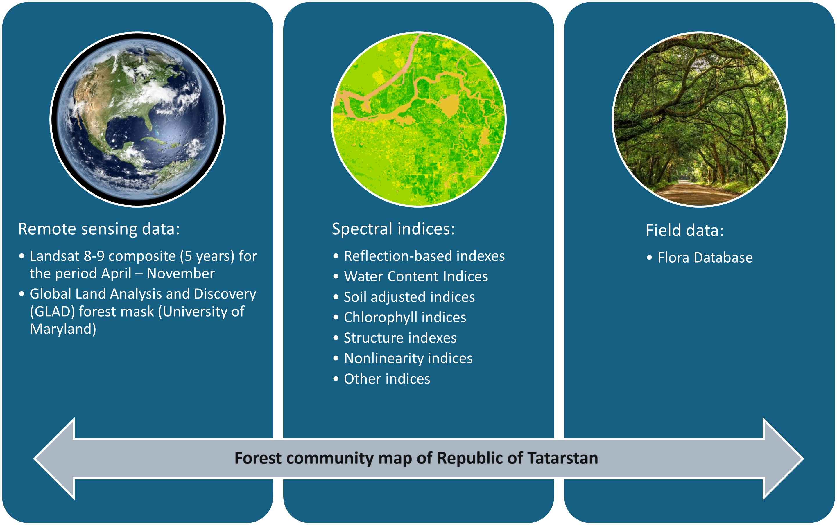
Graphical Abstract