Article

Pragmatically Mapping Phragmites with Unoccupied Aerial Systems: A Comparison of Invasive Species Land Cover Classification Using RGB and Multispectral Imagery

1
United States Geological Survey, Woods Hole Coastal and Marine Science Center, Woods Hole, MA 02543, USA
2
United States Geological Survey, Geosciences and Environmental Change Science Center, Denver, CO 80225, USA
*
Author to whom correspondence should be addressed.
Remote Sens. 2024, 16(24), 4691; https://doi.org/10.3390/rs16244691
Submission received: 1 November 2024 / Revised: 5 December 2024 / Accepted: 9 December 2024 / Published: 16 December 2024
(This article belongs to the Special Issue Remote Sensing for Management of Invasive Species)

Abstract

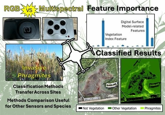
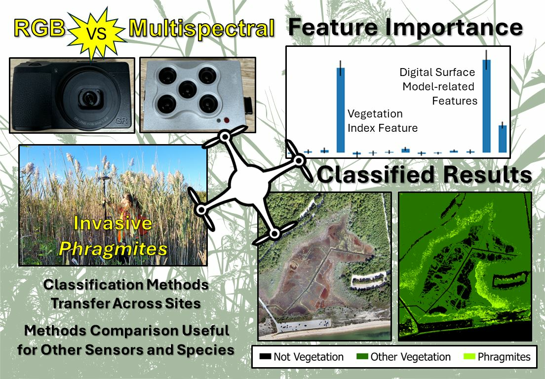
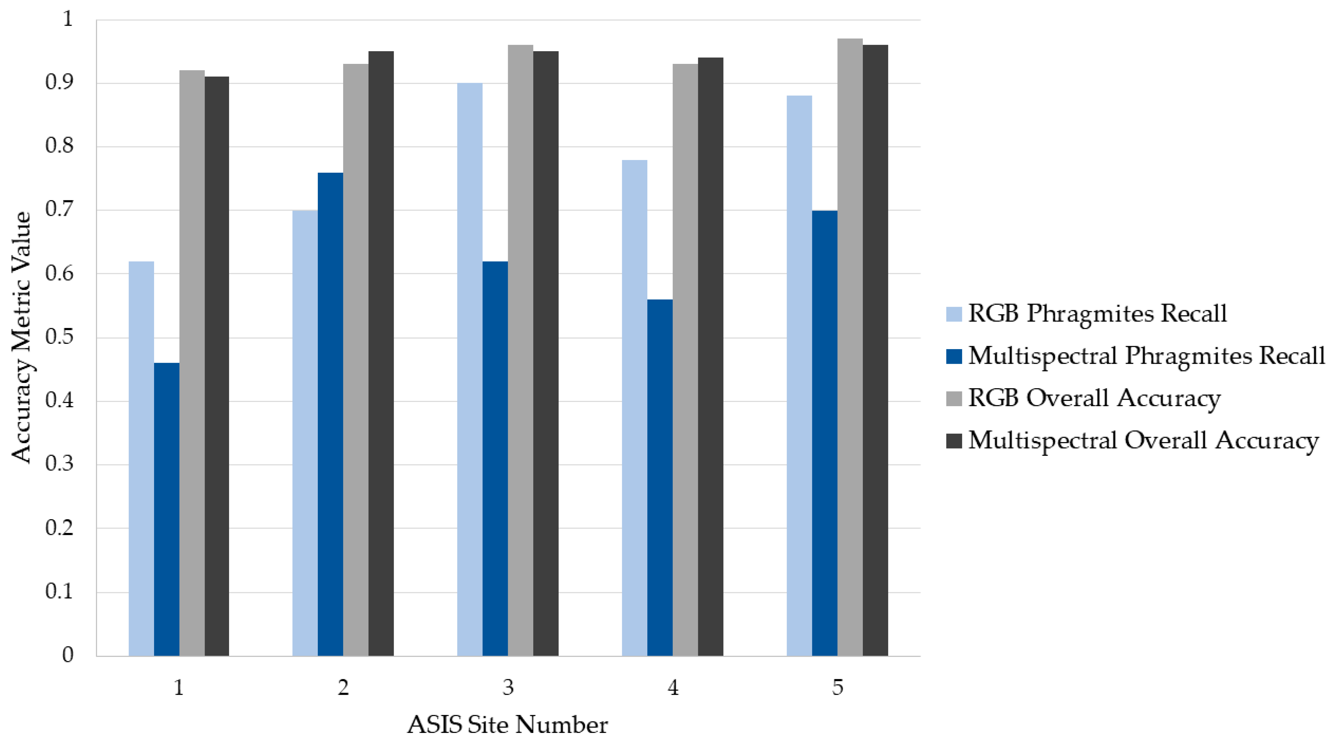
Unoccupied aerial systems (UASs) are increasingly being deployed in coastal environments to rapidly map and monitor changes to geomorphology, vegetation, and infrastructure, particularly in difficult to access areas. UAS data, relative to airplane or satellite data, typically have higher spatial resolution, sensor customization, and increased flexibility in temporal resolution, which benefits monitoring applications. UAS data have been used to map and monitor invasive species occurrence and expansion, such as Phragmites australis, a reed species in wetlands throughout the eastern United States. To date, the work on this species has been largely opportunistic or ad hoc. Here, we statistically and qualitatively compare results from several sensors and classification workflows to develop baseline understanding of the accuracy of different approaches used to map Phragmites. Two types of UAS imagery were collected in a Phragmites-invaded salt marsh setting—natural color red-green-blue (RGB) imagery and multispectral imagery spanning visible and near infrared wavelengths. We evaluated whether one imagery type provided significantly better classification results for mapping land cover than the other, also considering trade-offs like overall accuracy, financial costs, and effort. We tested the transferability of classification workflows that provided the highest thematic accuracy to another barrier island environment with known Phragmites stands. We showed that both UAS sensor types were effective in classifying Phragmites cover, with neither resulting in significantly better classification results than the other for Phragmites detection (overall accuracy up to 0.95, Phragmites recall up to 0.86 at the pilot study site). We also found the highest accuracy workflows were transferrable to sites in a barrier island setting, although the quality of results varied across these sites (overall accuracy up to 0.97, Phragmites recall up to 0.90 at the additional study sites).
Keywords: structure-from-motion; feature importance; aerial imagery; method comparison; image classification; machine learning structure-from-motion; feature importance; aerial imagery; method comparison; image classification; machine learning
Graphical Abstract