Article

Impacts of Digital Elevation Model Elevation Error on Terrain Gravity Field Calculations: A Case Study in the Wudalianchi Airborne Gravity Gradiometer Test Site, China

by
Lehan Wang
1,2,
Meng Yang
1,2,*,
Zhiyong Huang
3,4,
Wei Feng
1,2,
Xingyuan Yan
1,2 and
Min Zhong
1,2
1
School of Geospatial Engineering and Science, Sun Yat-sen University, Zhuhai 519082, China
2
Key Laboratory of Comprehensive Observation of Polar Environment, Ministry of Education, Sun Yat-sen University, Zhuhai 519082, China
3
State Key Laboratory of Geo-Information Engineering, Xi’an 710054, China
4
Institute of Geospatial Information, Information Engineering University, Zhengzhou 450001, China
*
Author to whom correspondence should be addressed.
Remote Sens. 2024, 16(21), 3948; https://doi.org/10.3390/rs16213948
Submission received: 13 September 2024 / Revised: 18 October 2024 / Accepted: 20 October 2024 / Published: 23 October 2024

Abstract

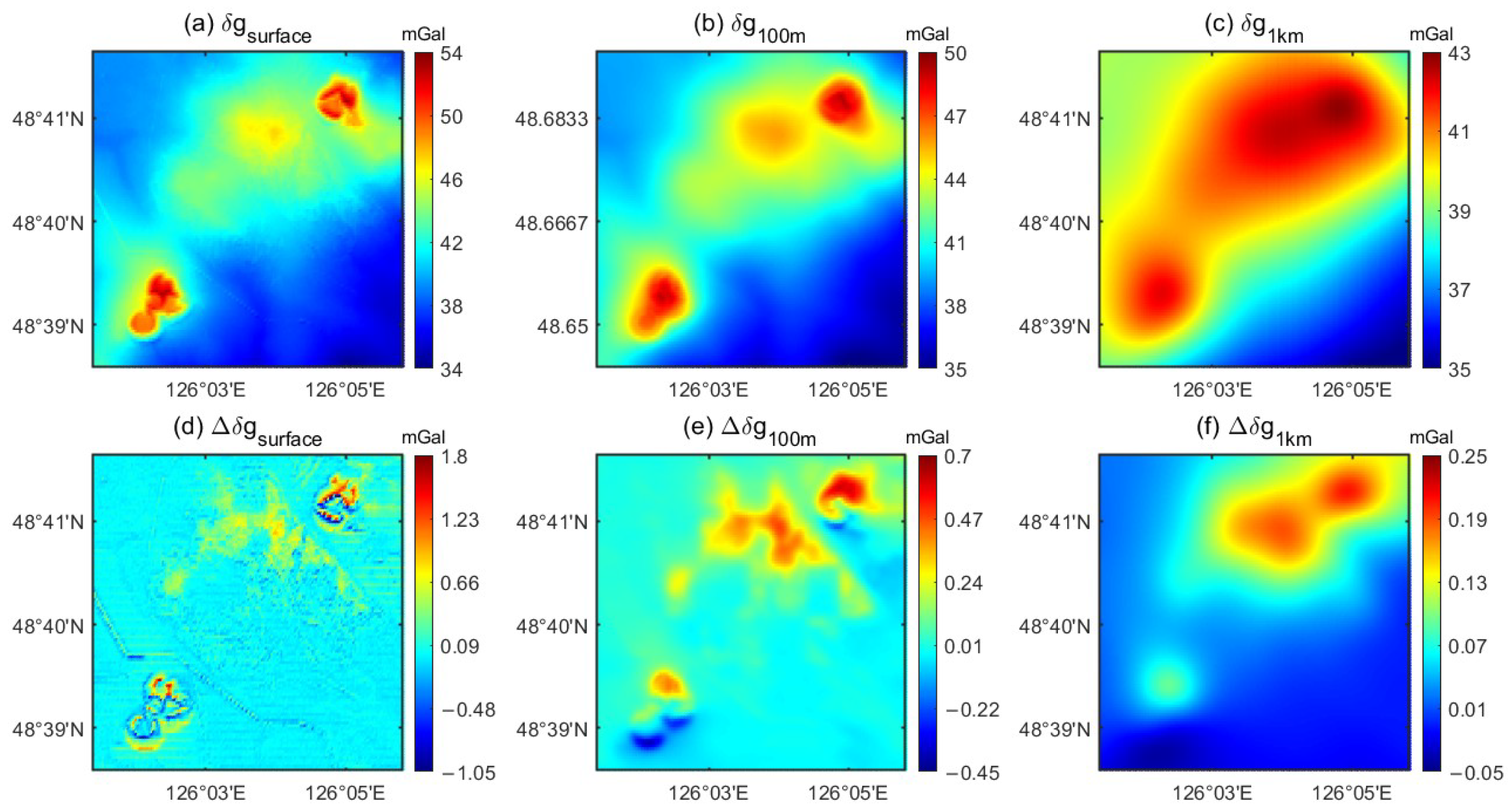
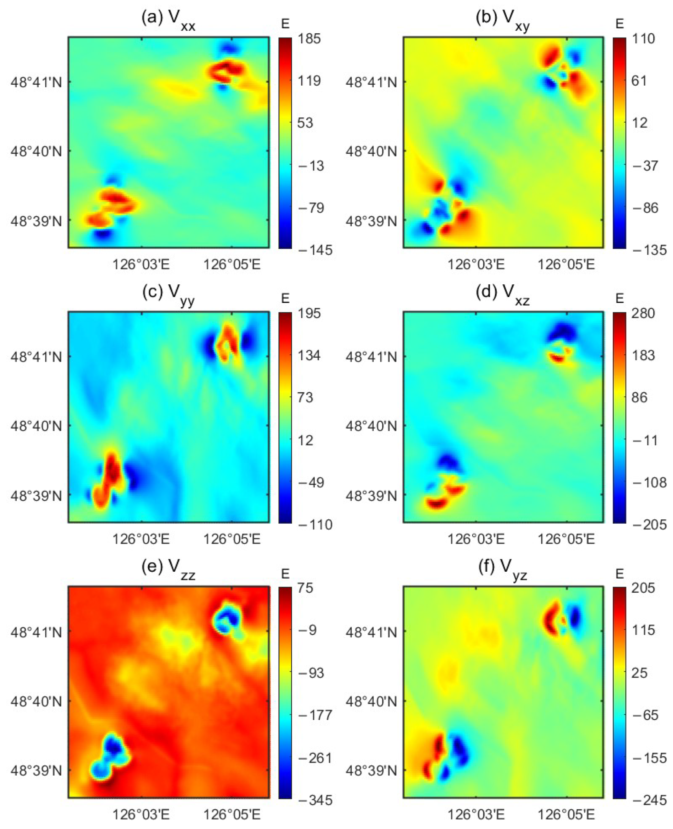
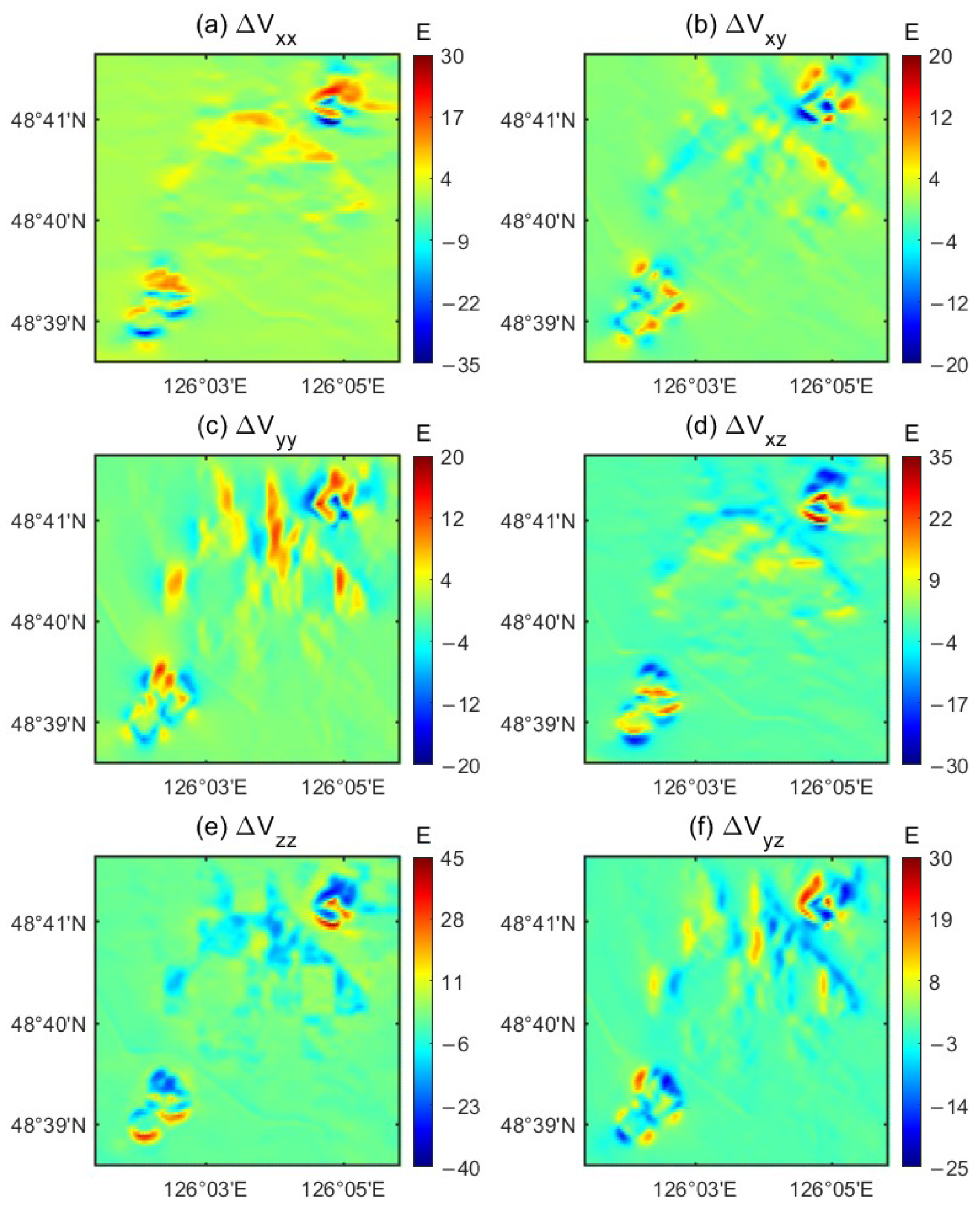
Accurate Digital Elevation Models (DEMs) are essential for precise terrain gravity field calculations, which are critical in gravity field modeling, airborne gravimeter and gradiometer calibration, and geophysical inversion. This study evaluates the accuracy of various satellite DEMs by comparing them with a LiDAR DEM at the Wudalianchi test site, a location requiring ultra-accurate terrain gravity fields. Major DEM error sources, particularly those related to vegetation, were identified and corrected using a least squares method that integrates canopy height, vegetation cover, NDVI, and airborne LiDAR DEM data. The impact of DEM vegetation errors on terrain gravity anomalies and gravity gradients was quantified using a partitioned adaptive gravity forward-modeling method at different measurement heights. The results indicate that the TanDEM-X DEM and AW3D30 DEM exhibit the highest vertical accuracy among the satellite DEMs evaluated in the Wudalianchi area. Vegetation significantly affects DEM accuracy, with vegetation-related errors causing an impact of approximately 0.17 mGal (RMS) on surface gravity anomalies. This effect is more pronounced in densely vegetated and volcanic regions. At 100 m above the surface and at an altitude of 1 km, vegetation height affects gravity anomalies by approximately 0.12 mGal and 0.07 mGal, respectively. Additionally, vegetation height impacts the vertical gravity gradient at 100 m above the surface by approximately 4.20 E (RMS), with errors up to 48.84 E over vegetation covered areas. The findings underscore the critical importance of using DEMs with vegetation errors removed for high-precision terrain gravity and gravity gradient modeling, particularly in applications such as airborne gravimeter and gradiometer calibration.
Keywords: satellite DEMs; terrain gravity field; vegetation correction; gravity anomaly; gravity gradient satellite DEMs; terrain gravity field; vegetation correction; gravity anomaly; gravity gradient