Communication

Towards Prediction and Mapping of Grassland Aboveground Biomass Using Handheld LiDAR

by
Jeroen S. de Nobel
1,
Kenneth F. Rijsdijk
1,
Perry Cornelissen
1,2 and
Arie C. Seijmonsbergen
1,*
1
Institute for Biodiversity and Ecosystem Dynamics, Universiteit van Amsterdam, P.O. Box 94248, 1090 GE Amsterdam, The Netherlands
2
Staatsbosbeheer, Smallepad 5, 3811 MG Amersfoort, The Netherlands
*
Author to whom correspondence should be addressed.
Remote Sens. 2023, 15(7), 1754; https://doi.org/10.3390/rs15071754
Submission received: 10 February 2023 / Revised: 22 March 2023 / Accepted: 23 March 2023 / Published: 24 March 2023
(This article belongs to the Special Issue Local-Scale Remote Sensing for Biodiversity, Ecology and Conservation)

Abstract

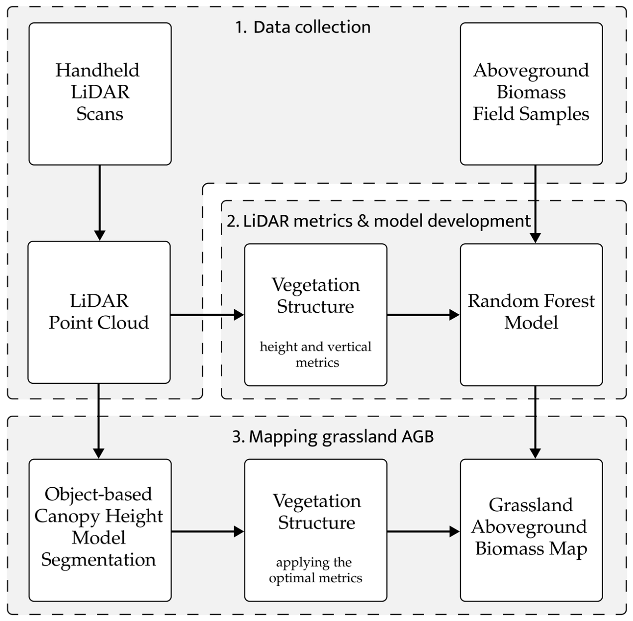
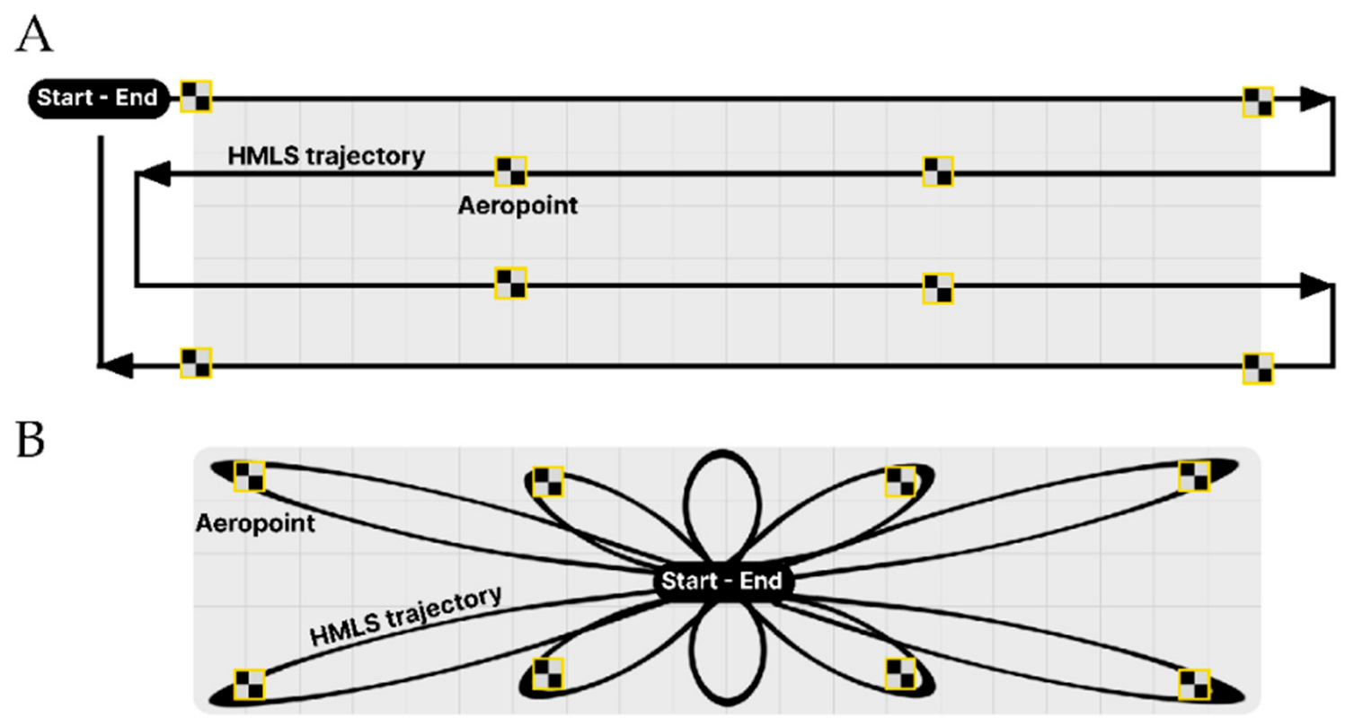
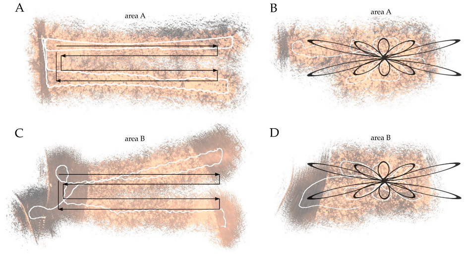
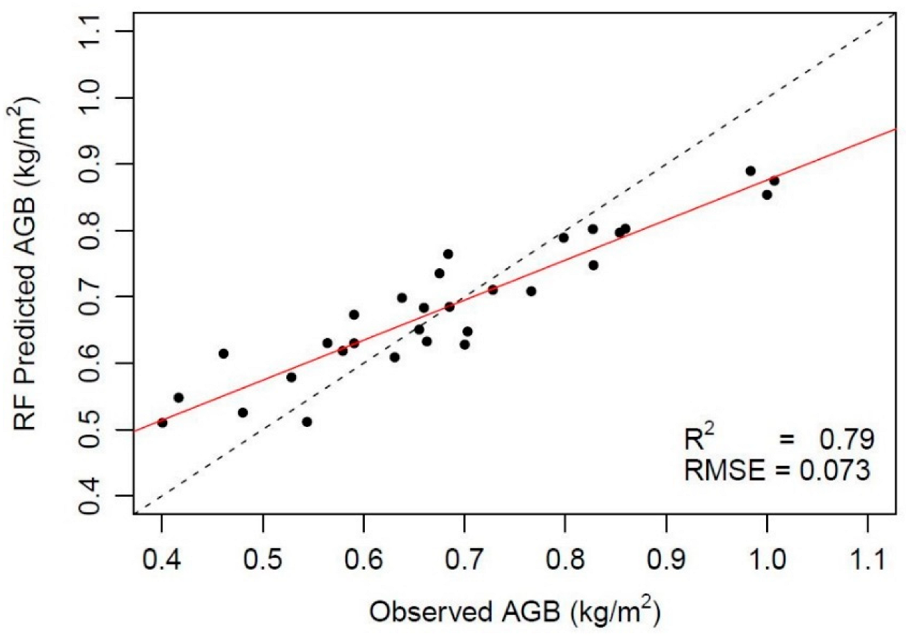
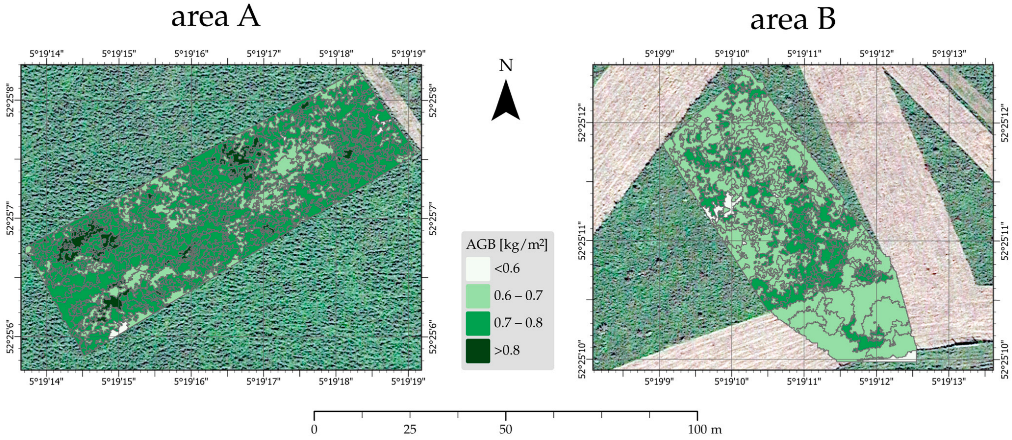
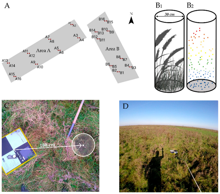
The Oostvaardersplassen nature reserve in the Netherlands is grazed by large herbivores. Due to their increasing numbers, the area became dominated by short grazed grasslands and biodiversity decreased. From 2018, the numbers are controlled to create a diverse landscape. Fine-scale mapping and monitoring of the aboveground biomass is a tool to evaluate management efforts to restore a heterogeneous and biodiverse area. We developed a random forest model that describes the correlation between field-based samples of aboveground biomass and fifteen height-related vegetation metrics that were calculated from high-density point clouds collected with a handheld LiDAR. We found that two height-related metrics (maximum and 75th percentile of all height points) produced the best correlation with an R2 of 0.79 and a root-mean-square error of 0.073 kg/m2. Grassland segments were mapped by applying a segmentation routine on the normalized grassland’s digital surface model. For each grassland segment, the aboveground biomass was mapped using the point cloud and the random forest AGB model. Visual inspection of video recordings of the scanned trajectories and field observations of grassland patterns suggest that drift and stretch effects of the point cloud influence the map. We recommend optimizing data collection using looped trajectories during scanning to avoid point cloud drift and stretch, test horizontal vegetation metrics in the model development and include seasonal influence of the vegetation status. We conclude that handheld LiDAR is a promising technique to retrieve detailed height-related metrics in grasslands that can be used as input for semi-automated spatio-temporal modelling of grassland aboveground biomass for supporting management decisions in nature reserves.
Keywords: HMLS; aboveground biomass; OBIA; grassland; random forest; segmentation; Oostvaardersplassen HMLS; aboveground biomass; OBIA; grassland; random forest; segmentation; Oostvaardersplassen