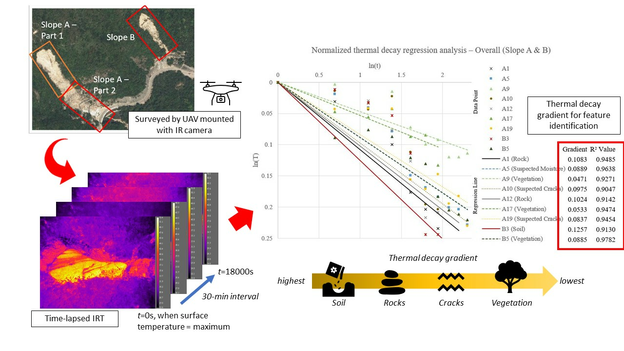
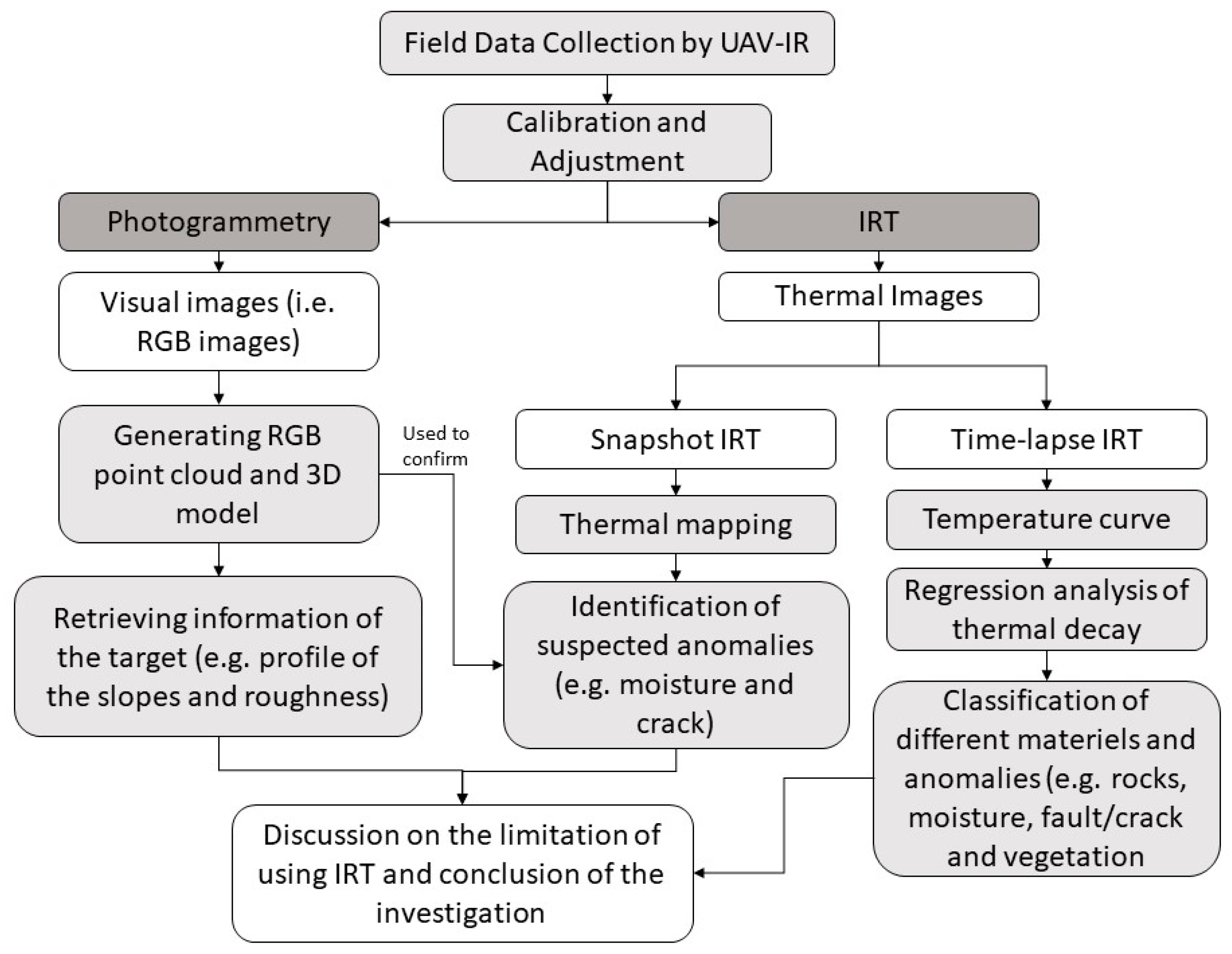
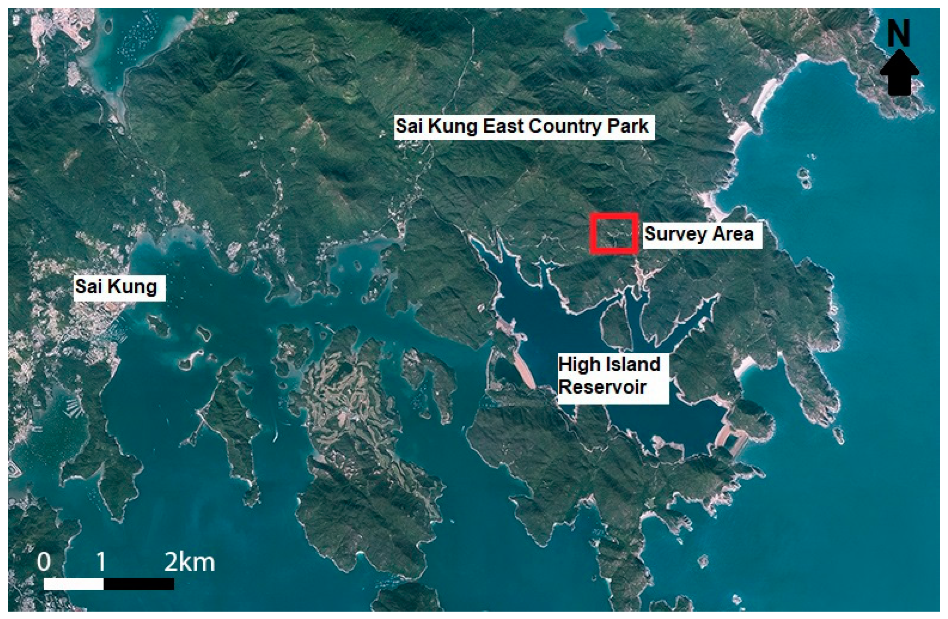
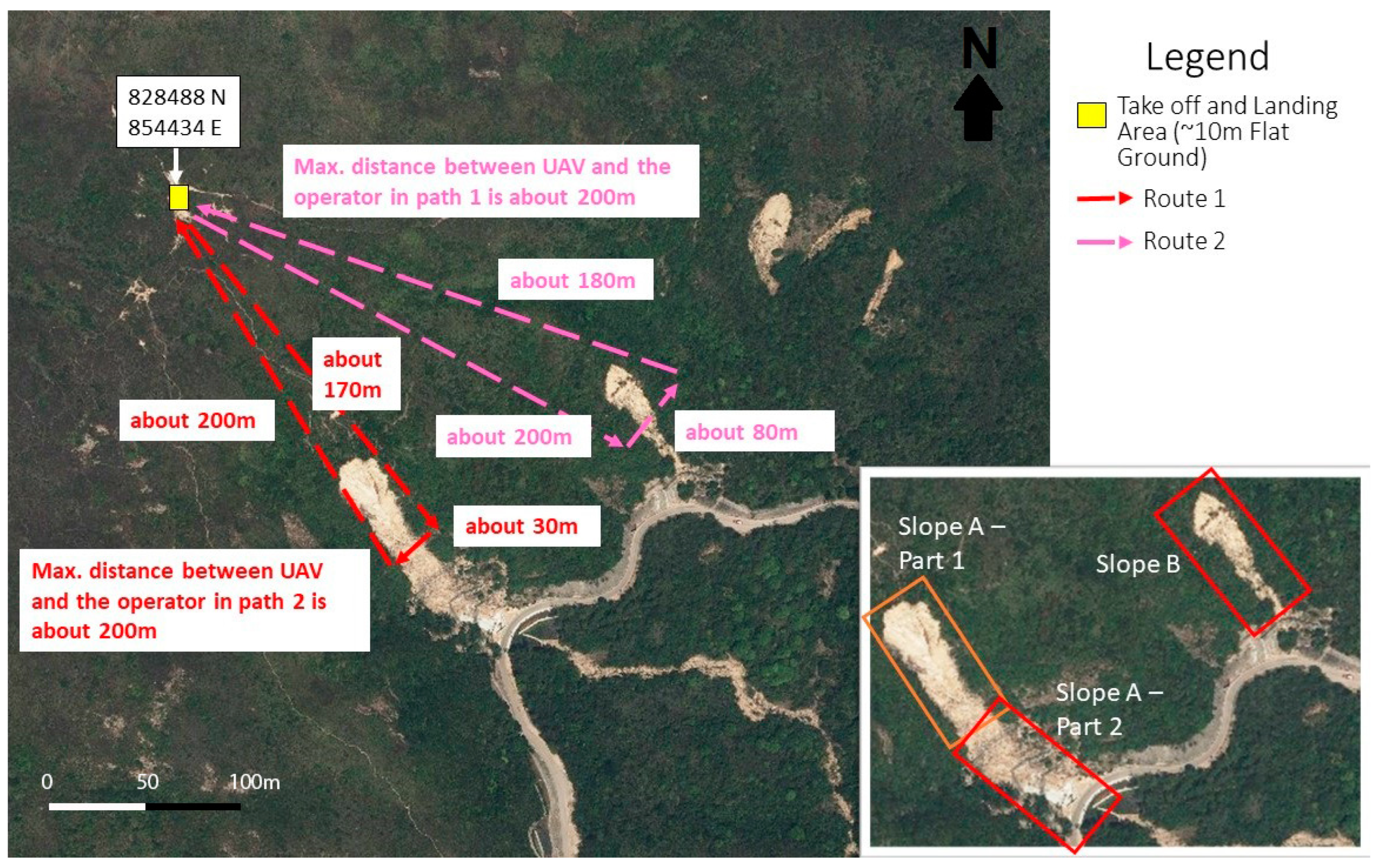
A Feasibility Study of Thermal Infrared Imaging for Monitoring Natural Terrain—A Case Study in Hong Kong

 ,
,  ,
, Abstract
Share and Cite
Chiu, L.S.-Y.; Lai, W.W.-L.; Santos-Assunção, S.; Sandhu, S.S.; Sham, J.F.-C.; Chan, N.F.-S.; Wong, J.C.-F.; Leung, W.-K. A Feasibility Study of Thermal Infrared Imaging for Monitoring Natural Terrain—A Case Study in Hong Kong. Remote Sens. 2023, 15, 5787. https://doi.org/10.3390/rs15245787
Chiu LS-Y, Lai WW-L, Santos-Assunção S, Sandhu SS, Sham JF-C, Chan NF-S, Wong JC-F, Leung W-K. A Feasibility Study of Thermal Infrared Imaging for Monitoring Natural Terrain—A Case Study in Hong Kong. Remote Sensing. 2023; 15(24):5787. https://doi.org/10.3390/rs15245787
Chicago/Turabian StyleChiu, Lydia Sin-Yau, Wallace Wai-Lok Lai, Sónia Santos-Assunção, Sahib Singh Sandhu, Janet Fung-Chu Sham, Nelson Fat-Sang Chan, Jeffrey Chun-Fai Wong, and Wai-Kin Leung. 2023. "A Feasibility Study of Thermal Infrared Imaging for Monitoring Natural Terrain—A Case Study in Hong Kong" Remote Sensing 15, no. 24: 5787. https://doi.org/10.3390/rs15245787
APA StyleChiu, L. S.-Y., Lai, W. W.-L., Santos-Assunção, S., Sandhu, S. S., Sham, J. F.-C., Chan, N. F.-S., Wong, J. C.-F., & Leung, W.-K. (2023). A Feasibility Study of Thermal Infrared Imaging for Monitoring Natural Terrain—A Case Study in Hong Kong. Remote Sensing, 15(24), 5787. https://doi.org/10.3390/rs15245787