Article

Detecting Deforestation Using Logistic Analysis and Sentinel-1 Multitemporal Backscatter Data

1
Faculty of Hydrotechnics, Geodesy and Environmental Engineering, Technical University “Gheorghe Asachi”, 70050 Iasi, Romania
2
Universidade de Lisboa, Faculdade de Ciências, Instituto Dom Luiz, 1749-016 Lisboa, Portugal
*
Author to whom correspondence should be addressed.
Remote Sens. 2023, 15(2), 290; https://doi.org/10.3390/rs15020290
Submission received: 11 November 2022 / Revised: 9 December 2022 / Accepted: 30 December 2022 / Published: 4 January 2023
(This article belongs to the Section Forest Remote Sensing)

Abstract

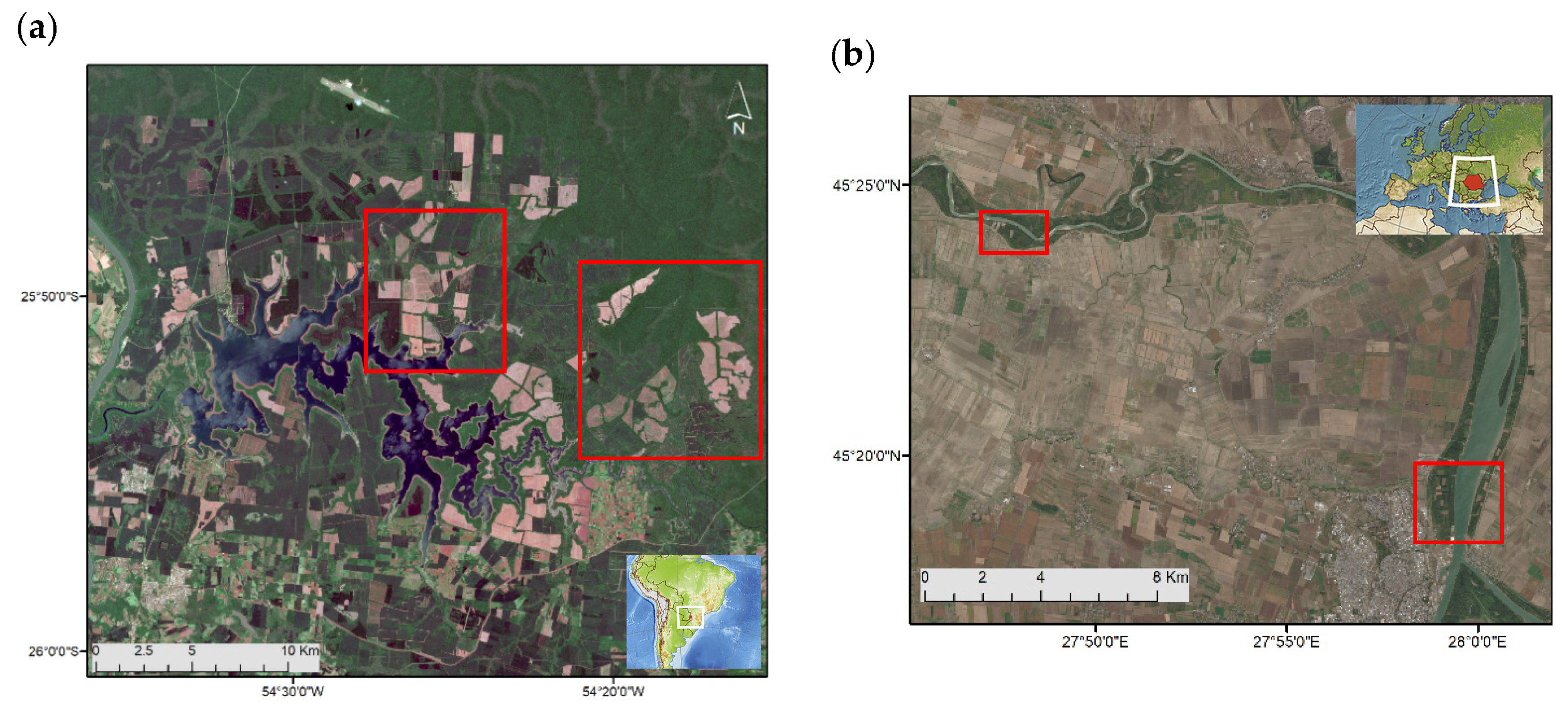
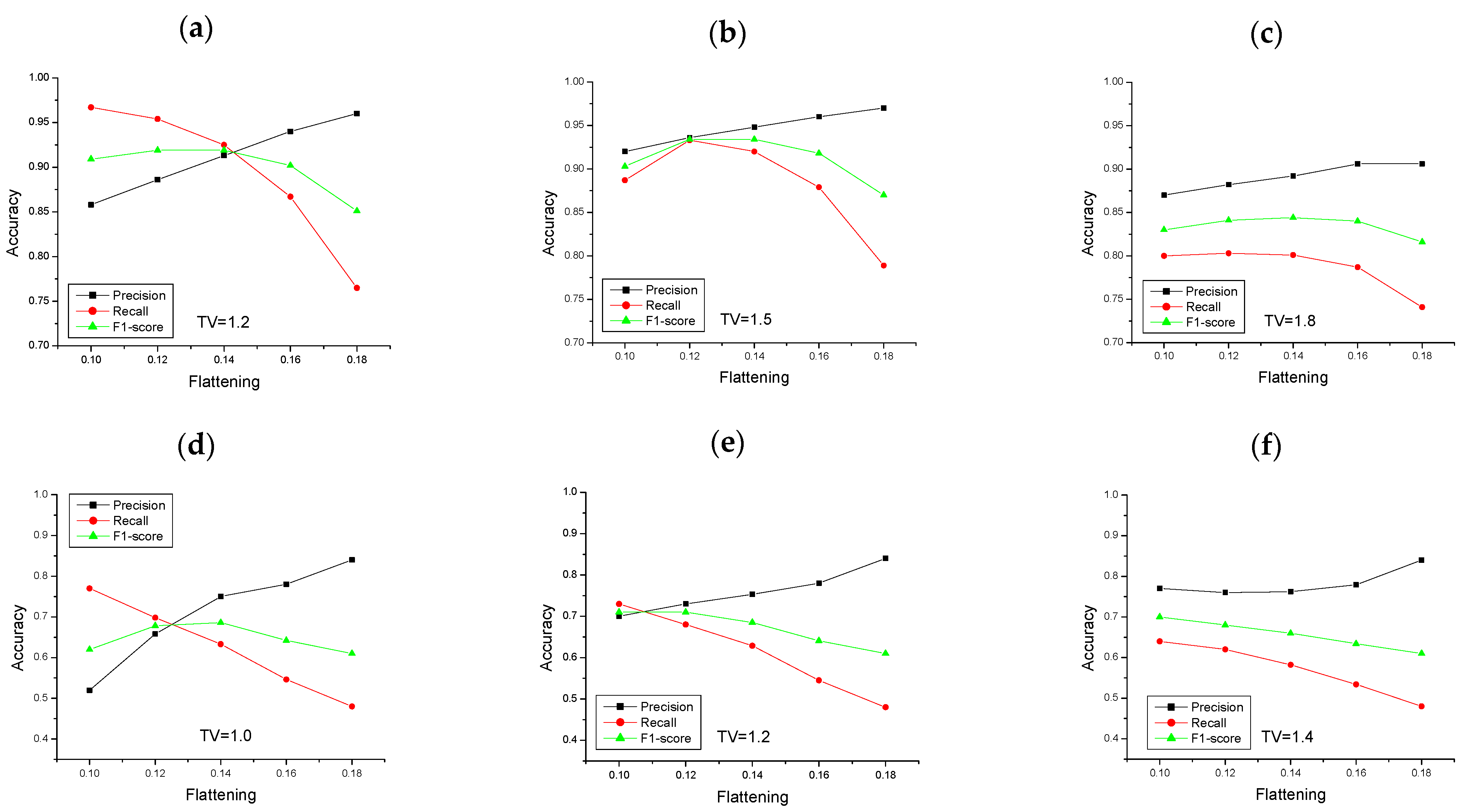
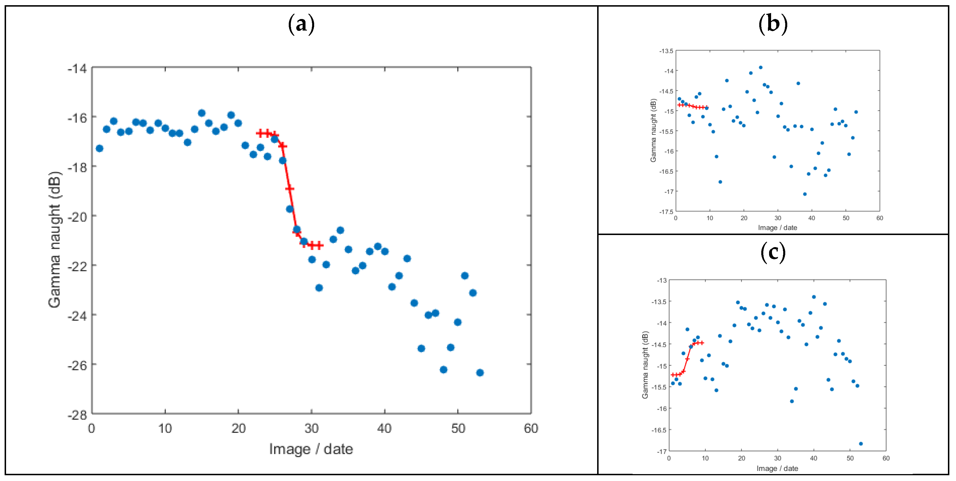
This paper presents a new approach for detecting deforestation using Sentinel-1 C-band backscattering data. It is based on the temporal analysis of the backscatter intensity and its correlation with the scattering behavior of deforested plots. The backscatter intensity temporal variability is modeled with a logistic function, whose lower and upper boundaries are, respectively, set based on the representative backscatter values for forest and deforested plots. The approach also enables the identification of the date of each deforestation event, corresponding to the inflection point of the logistic curve that best fits the backscatter intensity time series. The methodology was applied to two forest biomes, a tropical forest at Iguazu National Park in Argentina and a temperate forest in the Brăila region in Romania. The optimal flattening parameter was 0.12 for both sites, with an F1-score of 0.93 and 0.71 for the tropical and temperate forests, respectively. The temporal accuracy shows a bias on the estimated date, with a slight delay of 2 months. The results reveal that the Sentinel C-band data can be successfully used for deforestation detection over tropical forests; however, the accuracy for temperate forests might be 20 pp lower, depending on the environmental conditions, such as rainfall, snow and management after logging.
Keywords: deforestation; SAR data; logistic function; forest deforestation; SAR data; logistic function; forest