Article

A Fast and Robust Heterologous Image Matching Method for Visual Geo-Localization of Low-Altitude UAVs

1
State Key Laboratory Information Engineering in Surveying, Mapping and Remote Sensing, Wuhan University, Wuhan 430070, China
2
Electronic Information School, Wuhan University, Wuhan 430070, China
*
Author to whom correspondence should be addressed.
Remote Sens. 2022, 14(22), 5879; https://doi.org/10.3390/rs14225879
Submission received: 4 October 2022 / Revised: 9 November 2022 / Accepted: 17 November 2022 / Published: 20 November 2022
(This article belongs to the Special Issue Computer Vision and Image Processing)

Abstract

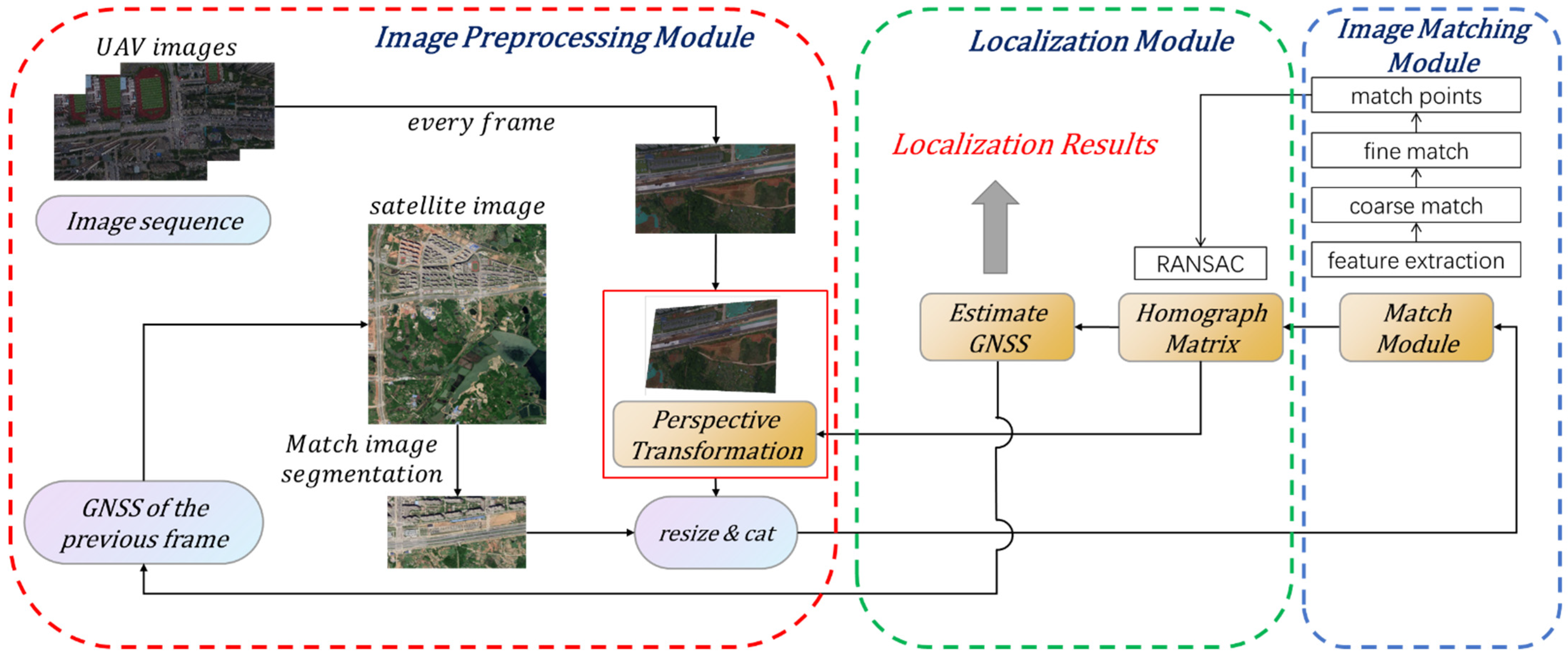
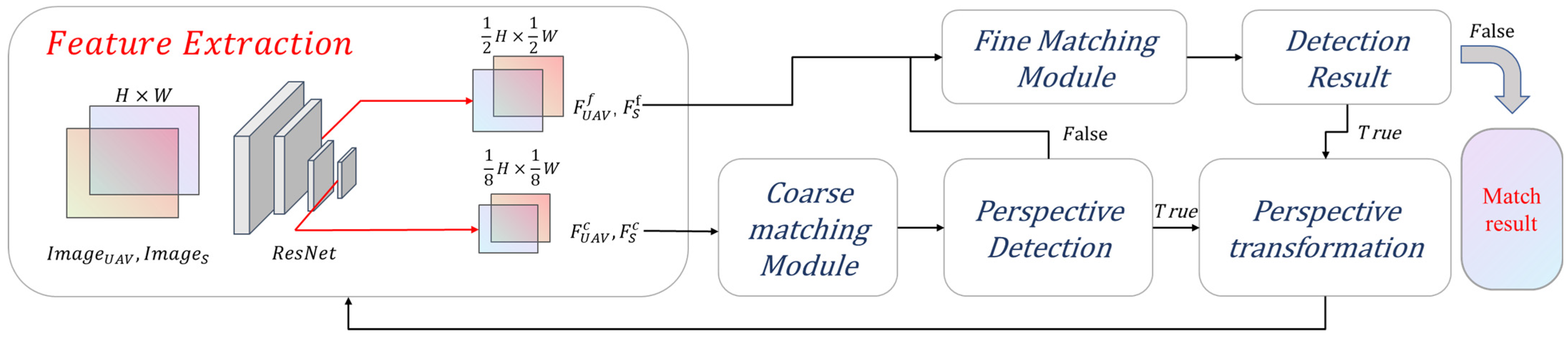
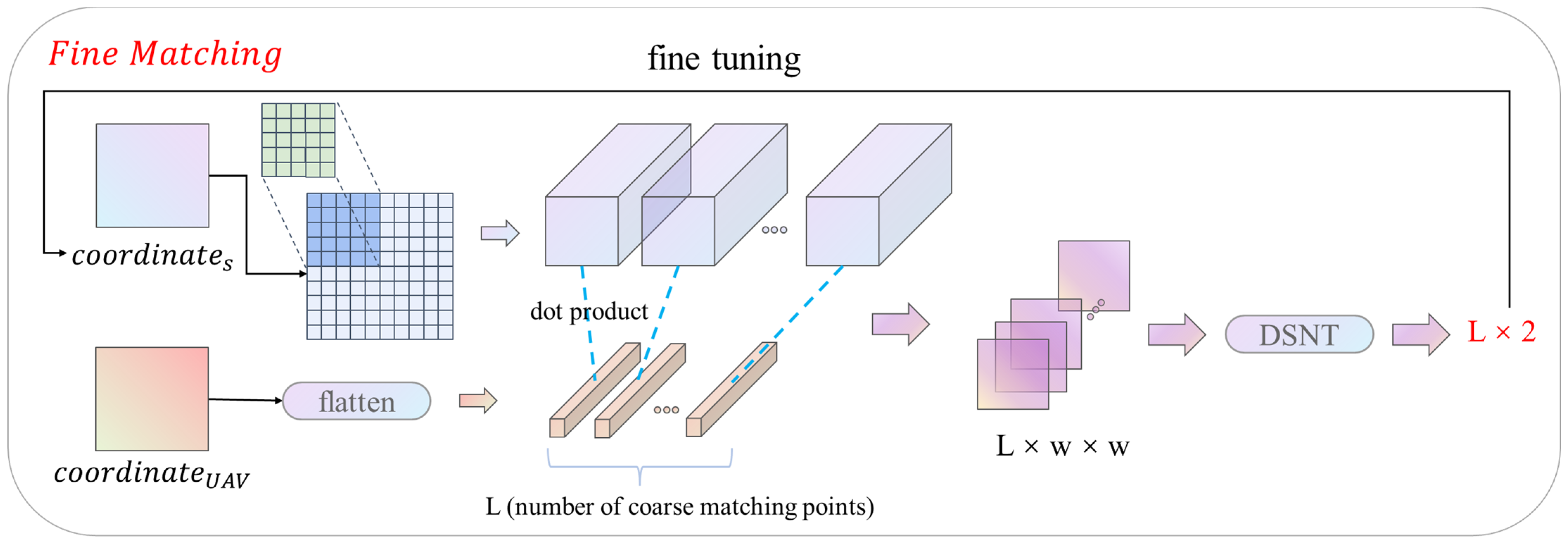
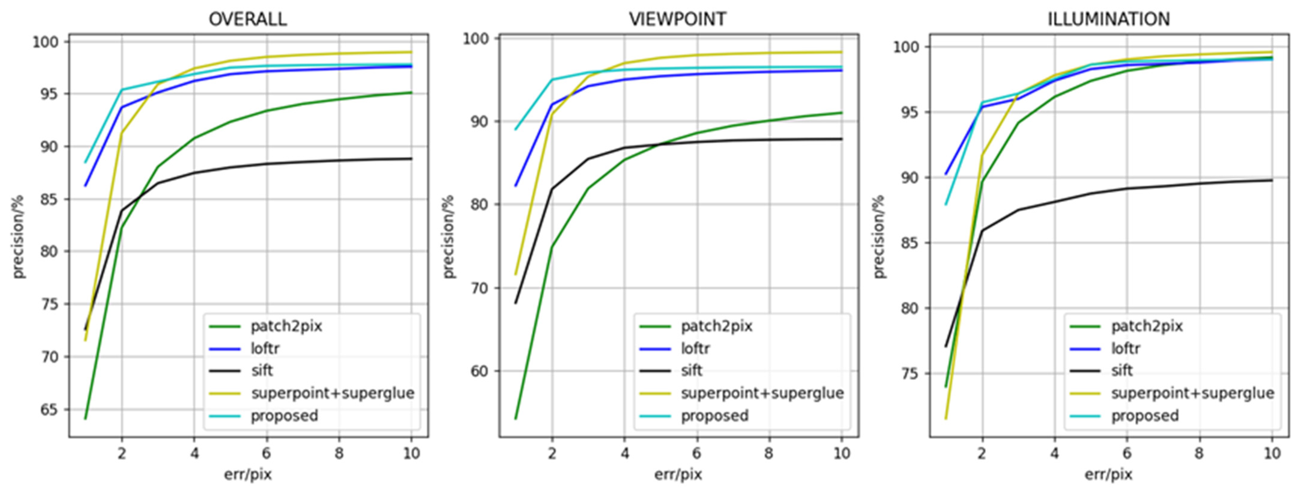
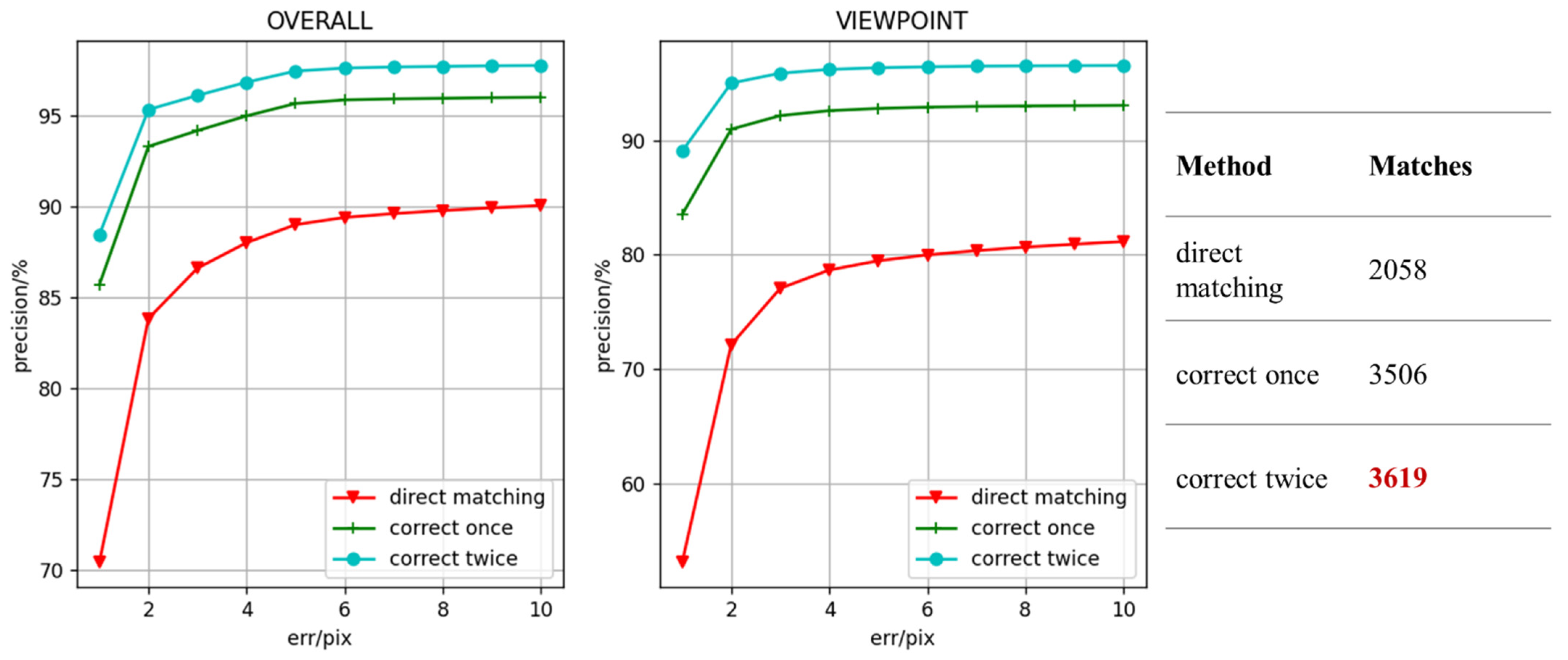
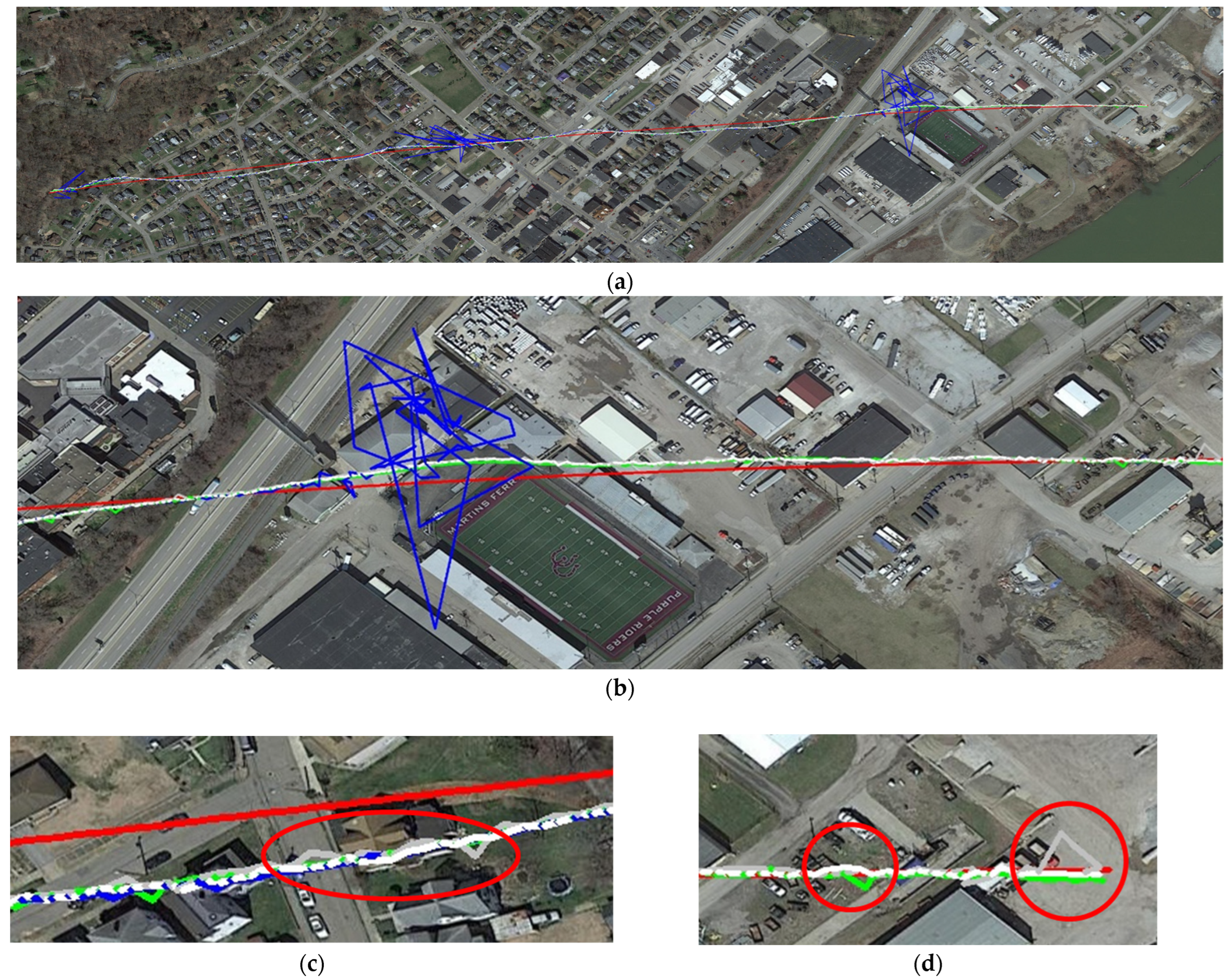
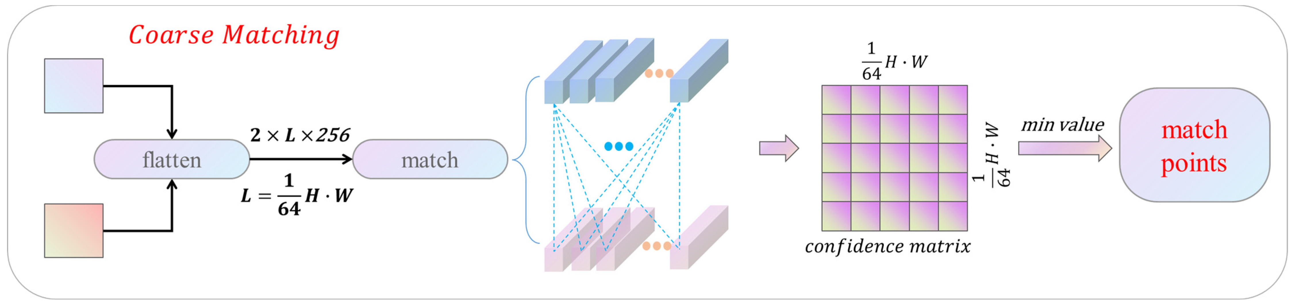
Visual geo-localization can achieve UAVs (Unmanned Aerial Vehicles) position during GNSS (Global Navigation Satellite System) denial or restriction. However, The performance of visual geo-localization is seriously impaired by illumination variation, different scales, viewpoint difference, spare texture, and computer power of UAVs, etc. In this paper, a fast detector-free two-stage matching method is proposed to improve the visual geo-localization of low-altitude UAVs. A detector-free matching method and perspective transformation module are incorporated into the coarse and fine matching stages to improve the robustness of the weak texture and viewpoint data. The minimum Euclidean distance is used to accelerate the coarse matching, and the coordinate regression based on DSNT (Differentiable Spatial to Numerical) transform is used to improve the fine matching accuracy respectively. The experimental results show that the average localization precision of the proposed method is 2.24 m, which is 0.33 m higher than that of the current typical matching methods. In addition, this method has obvious advantages in localization robustness and inference efficiency on Jetson Xavier NX, which completed to match and localize all images in the dataset while the localization frequency reached the best.
Keywords: UAVs; visual geo-localization; image matching; detector-free; perspective transformation UAVs; visual geo-localization; image matching; detector-free; perspective transformation