Article

Uncertainty of Drone-Derived DEMs and Significance of Detected Morphodynamics in Artificially Scraped Dunes

1
Department of Physics and Earth Sciences, University of Ferrara, 44122 Ferrara, Italy
2
School of Geography and Earth Sciences, Ulster University, Coleraine BT52 1SA, UK
*
Author to whom correspondence should be addressed.
Remote Sens. 2021, 13(9), 1823; https://doi.org/10.3390/rs13091823
Submission received: 31 March 2021 / Revised: 26 April 2021 / Accepted: 4 May 2021 / Published: 7 May 2021
(This article belongs to the Special Issue UAV Application for Monitoring Coastal Morphology)

Abstract

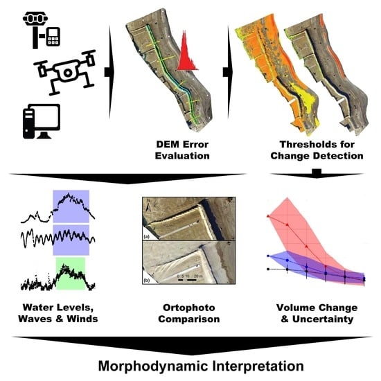
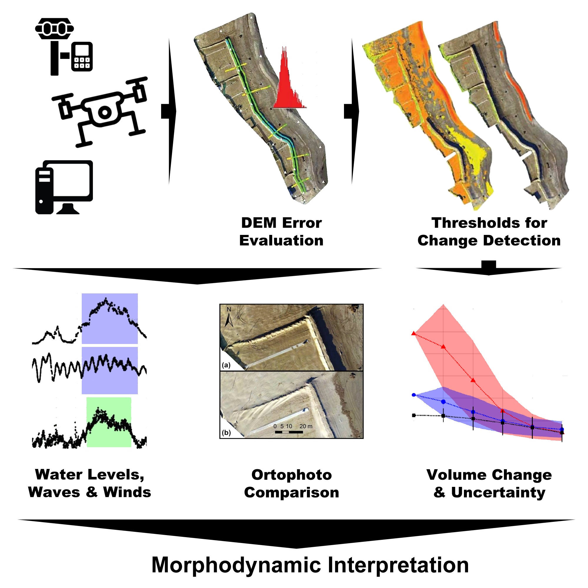
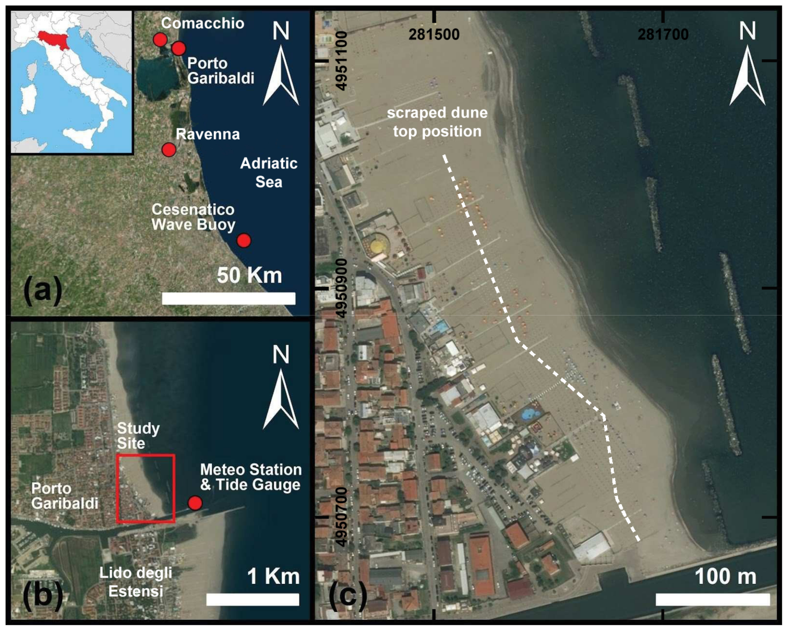
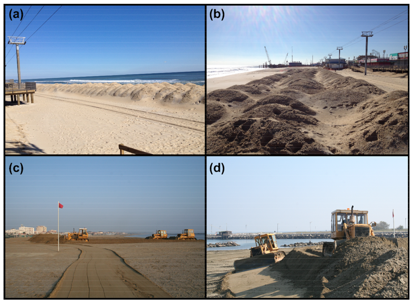
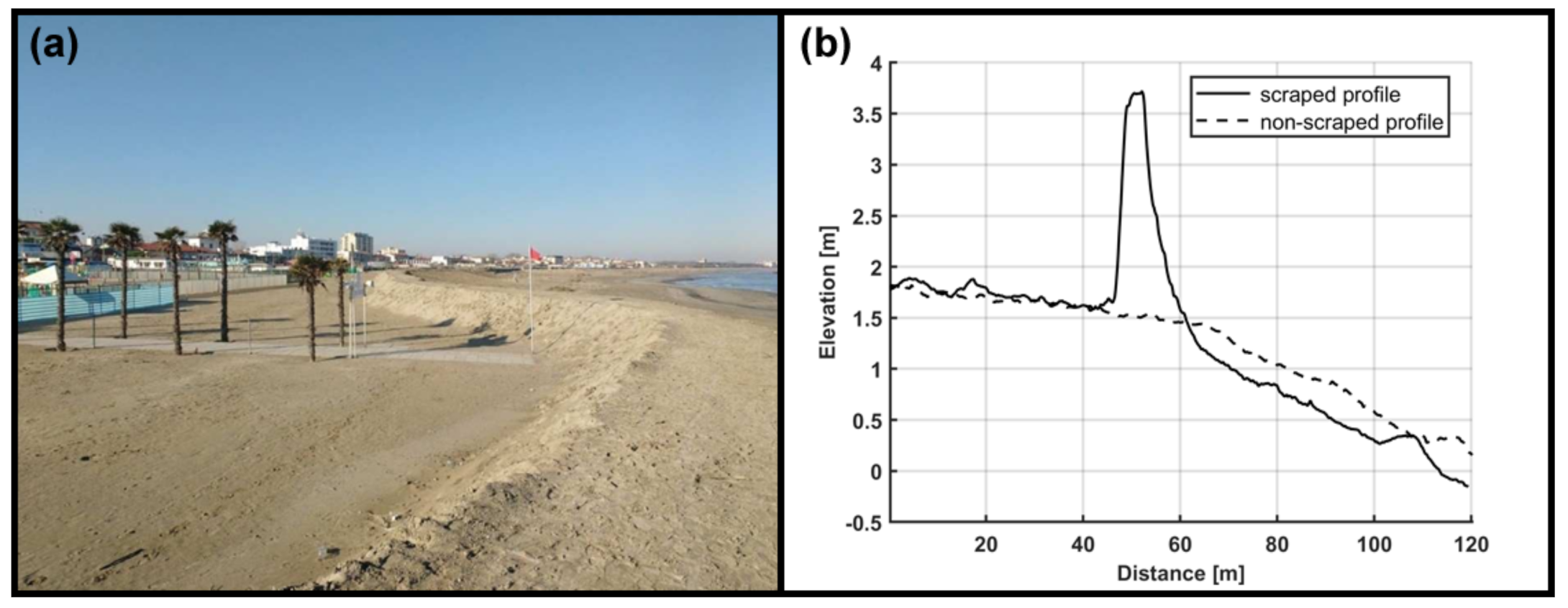
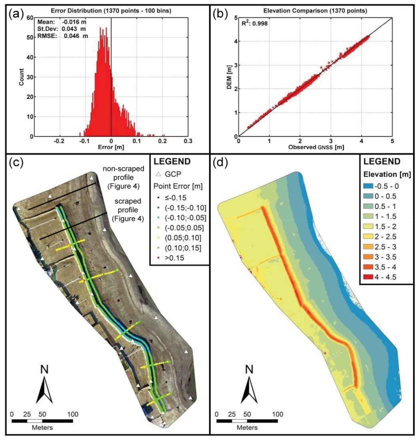
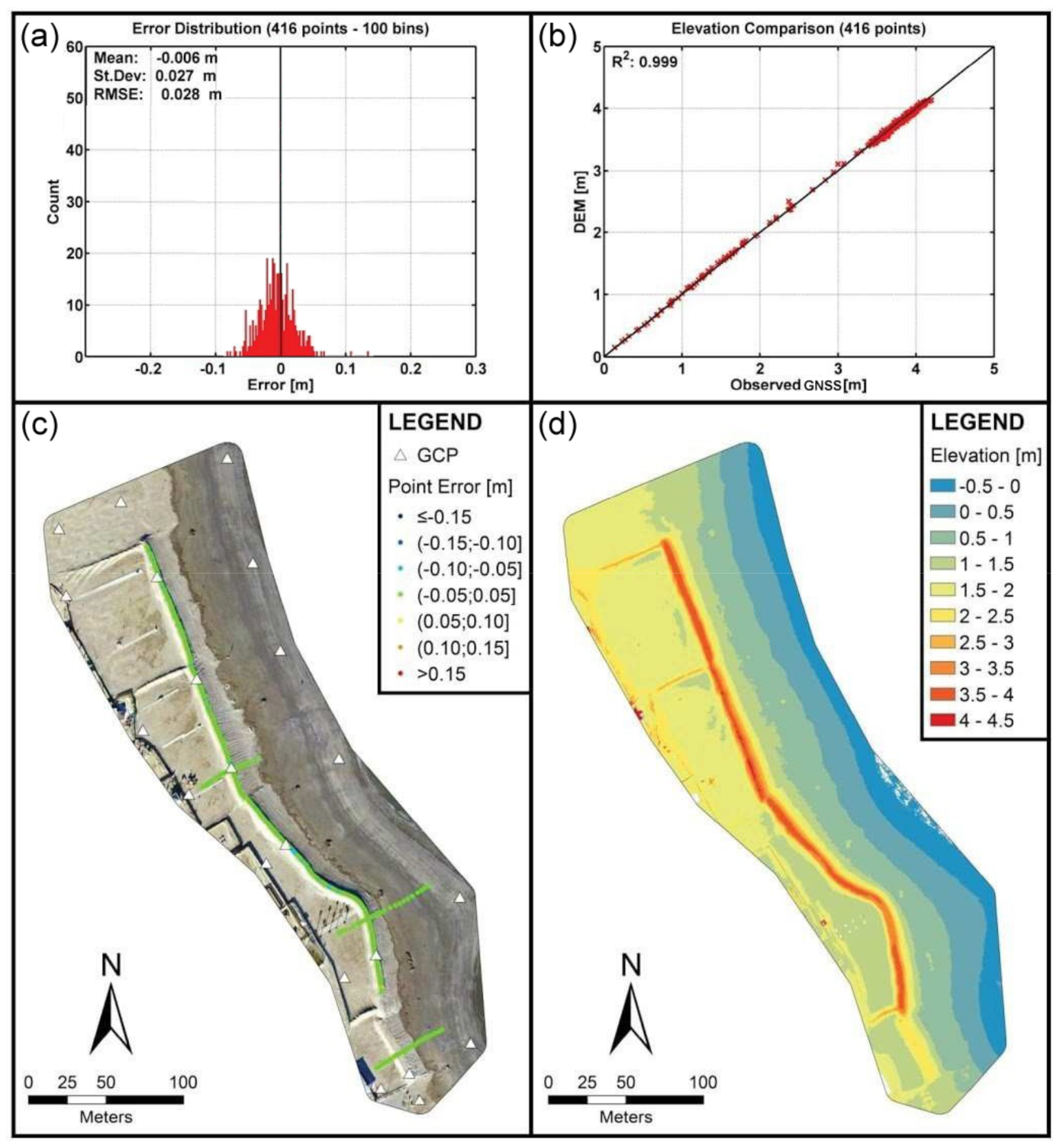
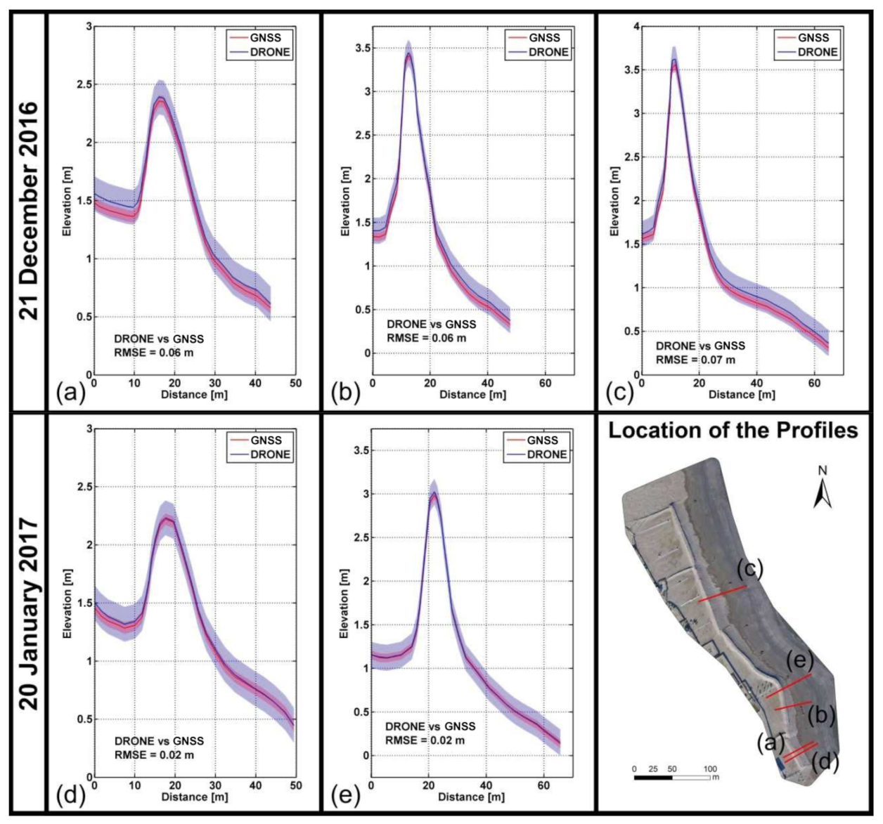
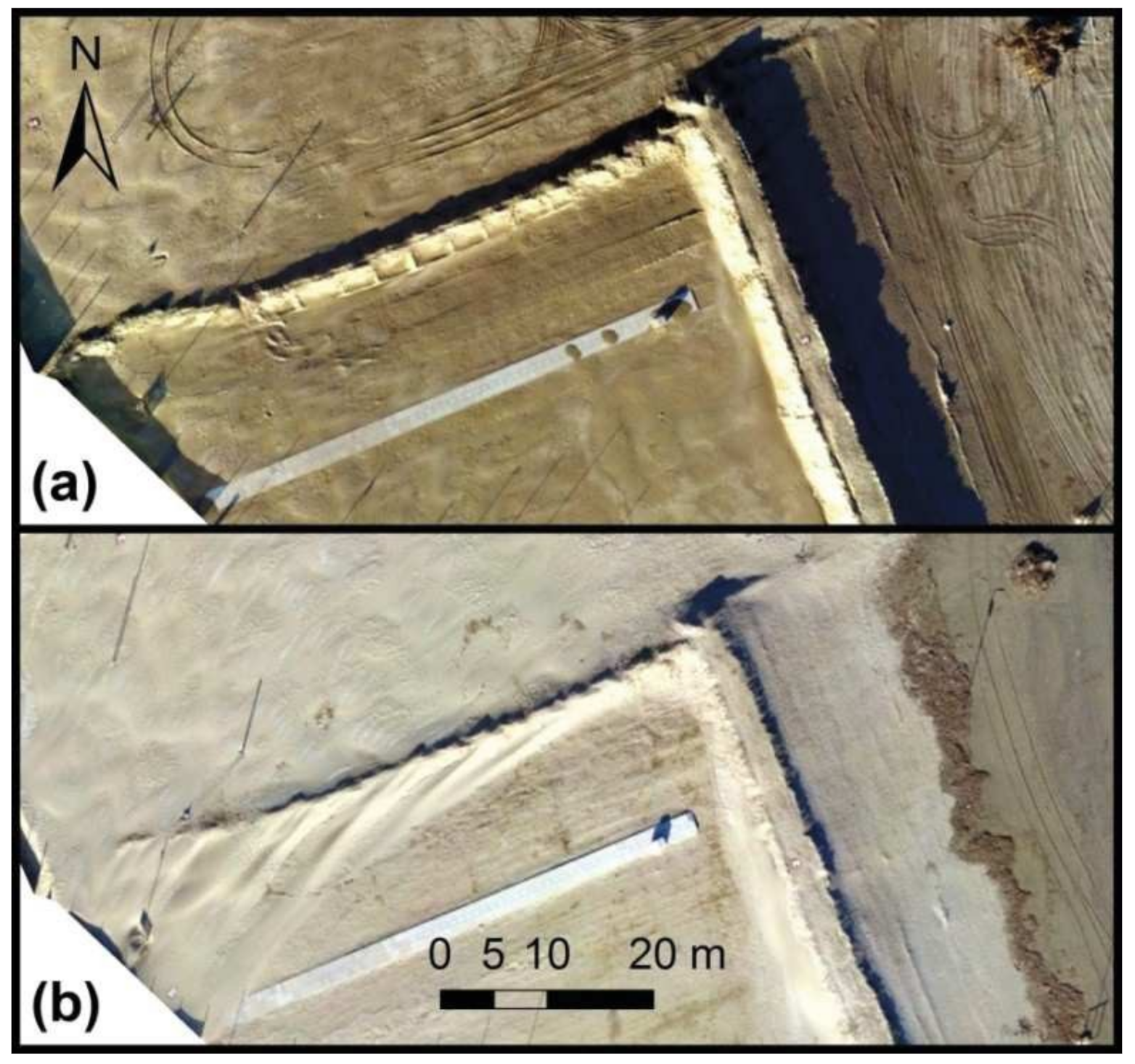
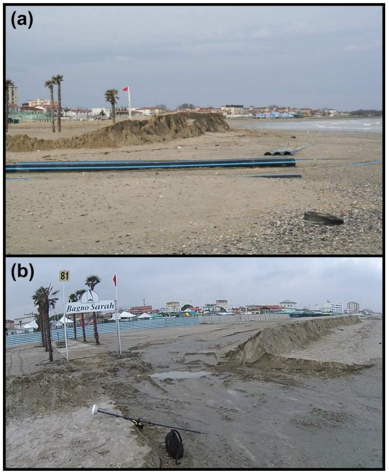
This work capitalises on the morphodynamic study of a scraped artificial dune built on the sandy beach of Porto Garibaldi (Comacchio, Italy) as a barrier to protect the touristic facilities from sea storms during the winter season and contributes to understanding of the role of elevation data uncertainty and uniform thresholds for change detection (TCDs) on the interpretation of volume change estimations. This application relies on products derived from unmanned aerial vehicle (UAV) surveys and on the evaluation of the uncertainty associated with volume change estimations to interpret the case study morphodynamics under non-extreme sea and wind conditions. The analysis was performed by comparing UAV-derived digital elevation models (DEMs)—root mean squared error (RMSE) vs. global navigation satellite system (GNSS) < 0.05 m—and orthophotos, considering the significance of the identified changes by applying a set of TCDs. In this case, a threshold of ~0.15 m was able to detect most of the morphological variations. The set of TCD ≤ 0.15 m was considered to discuss the significance of minor changes and the uncertainty of volume change calculations. During the analysed period (21 December 2016–20 January 2017), water levels and waves affected the front of the artificial dune by eroding the berm area; winds remodelled the entire dune, moving the loose sand around the dune and further inland; sediment volumes mobilised by sea and wind forcing were comparable. This work suggests that UAV-derived coastal morphological variations should be interpreted by integrating: (i) a set of uniform thresholds to detect significant changes; (ii) the uncertainty generated by the propagation of the original uncertainty of the elevation products; (iii) the characteristics of the morphodynamic drivers evaluated by adopting uncertainty-aware approaches. Thus, the contribution of subtle morphological changes—magnitudes comparable with the instrumental accuracy and/or the assessed propagated uncertainty—can be properly accounted for.
Keywords: beach scraping; artificial dunes; unmanned aerial vehicles; photogrammetry; threshold for change detection; coastal geomorphology; waves; aeolian; flooding; erosion beach scraping; artificial dunes; unmanned aerial vehicles; photogrammetry; threshold for change detection; coastal geomorphology; waves; aeolian; flooding; erosion
Graphical Abstract