Article

Vector Fuzzy c-Spherical Shells (VFCSS) over Non-Crisp Numbers for Satellite Imaging
1
CONFIRM Centre for SMART Manufacturing, University of Limerick, V94 C928 Limerick, Ireland
2
Centre for Robotics and Intelligent Systems, Department of Electronics and Computer Engineering, University of Limerick, V94 T9PX Limerick, Ireland
3
Chief Innovation Office, Sinenta Corp., La Cañada, 04120 Almeria, Spain
*
Author to whom correspondence should be addressed.
Remote Sens. 2021, 13(21), 4482; https://doi.org/10.3390/rs13214482
Submission received: 1 September 2021 / Revised: 23 October 2021 / Accepted: 3 November 2021 / Published: 8 November 2021
(This article belongs to the Special Issue Digital Image Processing)

Abstract

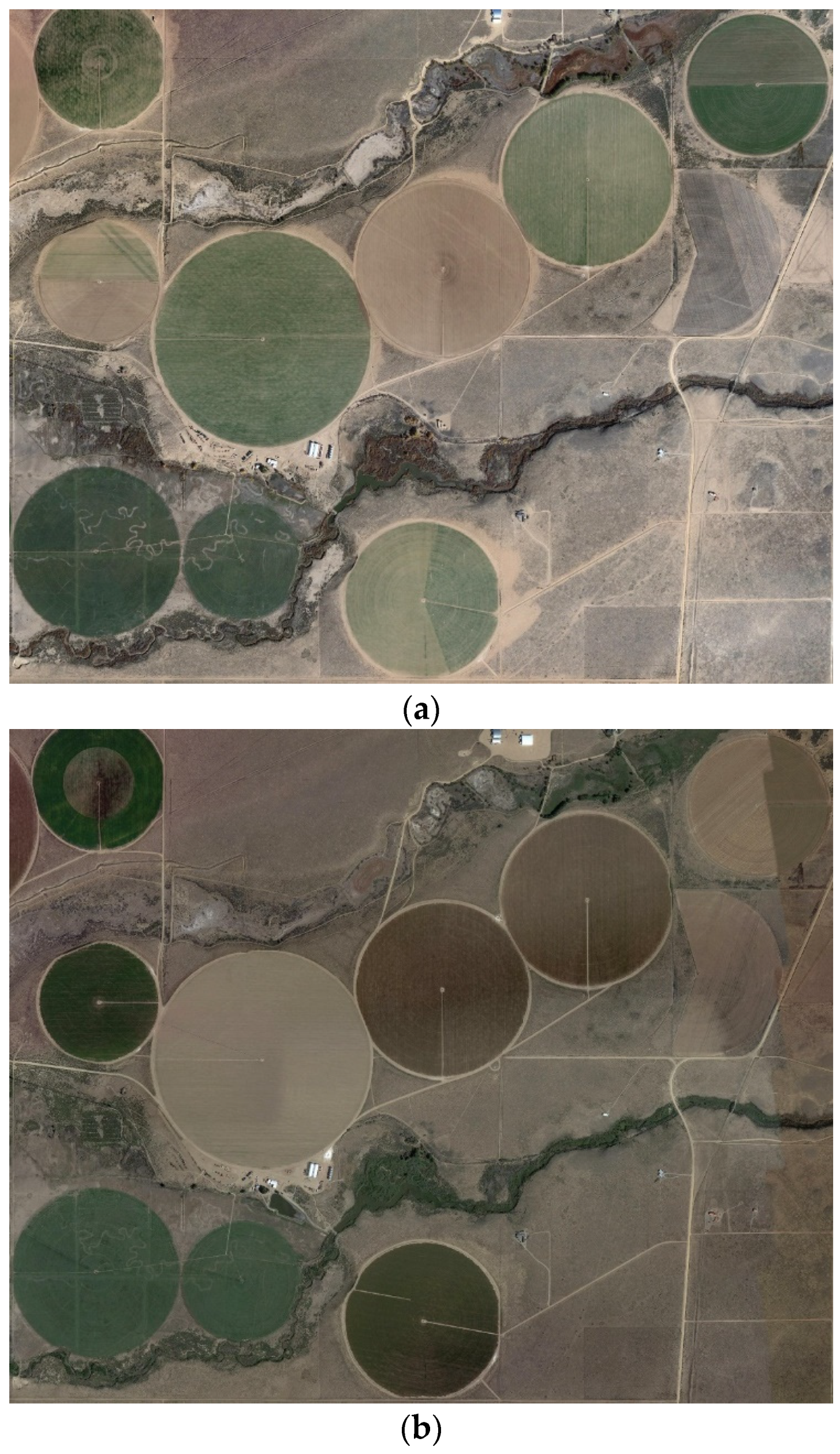
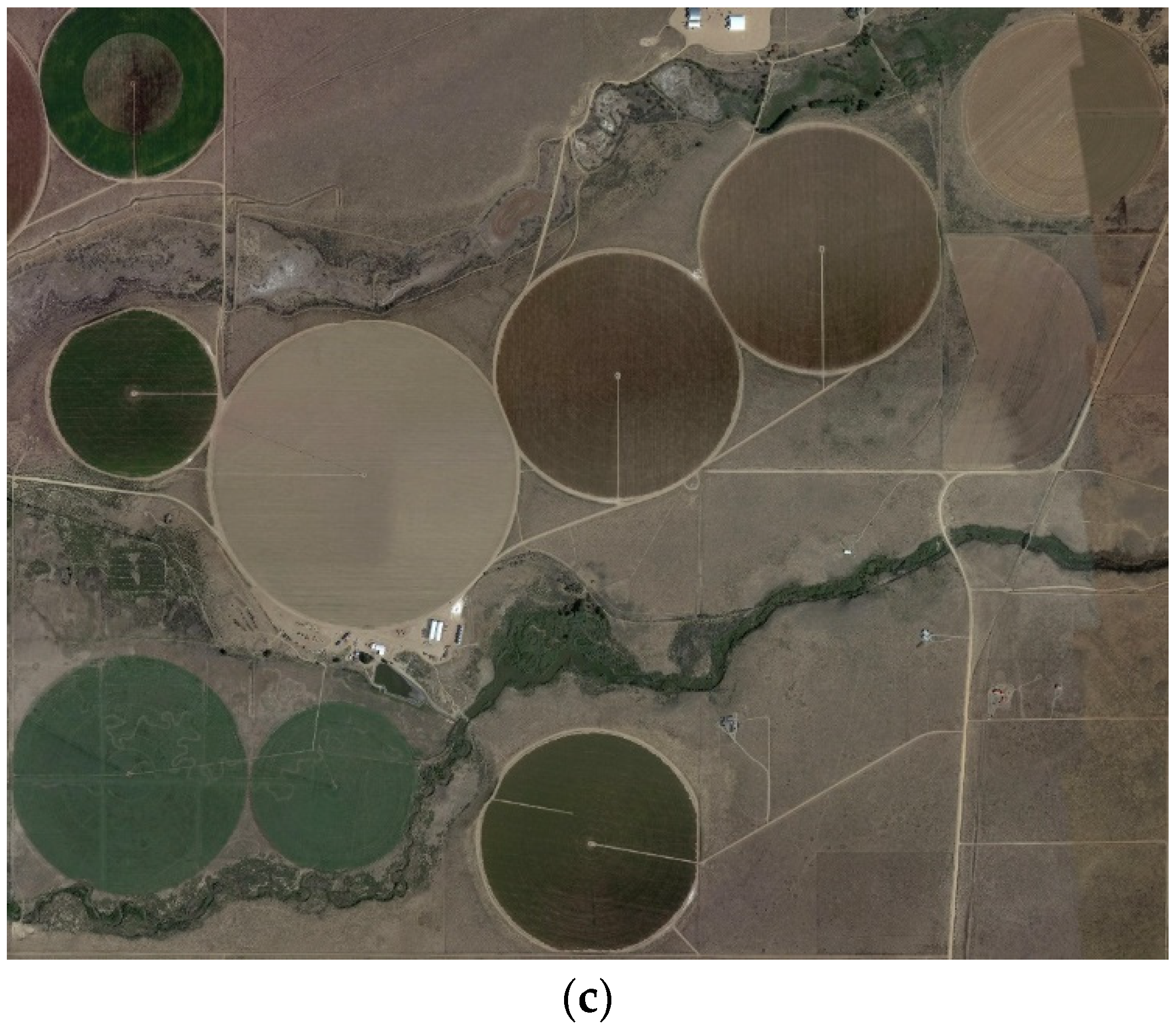
The conventional fuzzy c-spherical shells (FCSS) clustering model is extended to cluster shells involving non-crisp numbers, in this paper. This is achieved by a vectorized representation of distance, between two non-crisp numbers like the crisp numbers case. Using the proposed clustering method, named vector fuzzy c-spherical shells (VFCSS), all crisp and non-crisp numbers can be clustered by the FCSS algorithm in a unique structure. Therefore, we can implement FCSS clustering over various types of numbers in a unique structure with only a few alterations in the details used in implementing each case. The relations of VFCSS applied to crisp and non-crisp (containing symbolic-interval, LR-type, TFN-type and TAN-type fuzzy) numbers are presented in this paper. Finally, simulation results are reported for VFCSS applied to synthetic LR-type fuzzy numbers; where the application of the proposed method in real life and in geomorphology science is illustrated by extracting the radii of circular agricultural fields using remotely sensed images and the results show better performance and lower cost computational complexity of the proposed method in comparison to conventional FCSS.
Keywords: imaging; fuzzy set; algorithms and clustering; satellite images imaging; fuzzy set; algorithms and clustering; satellite images