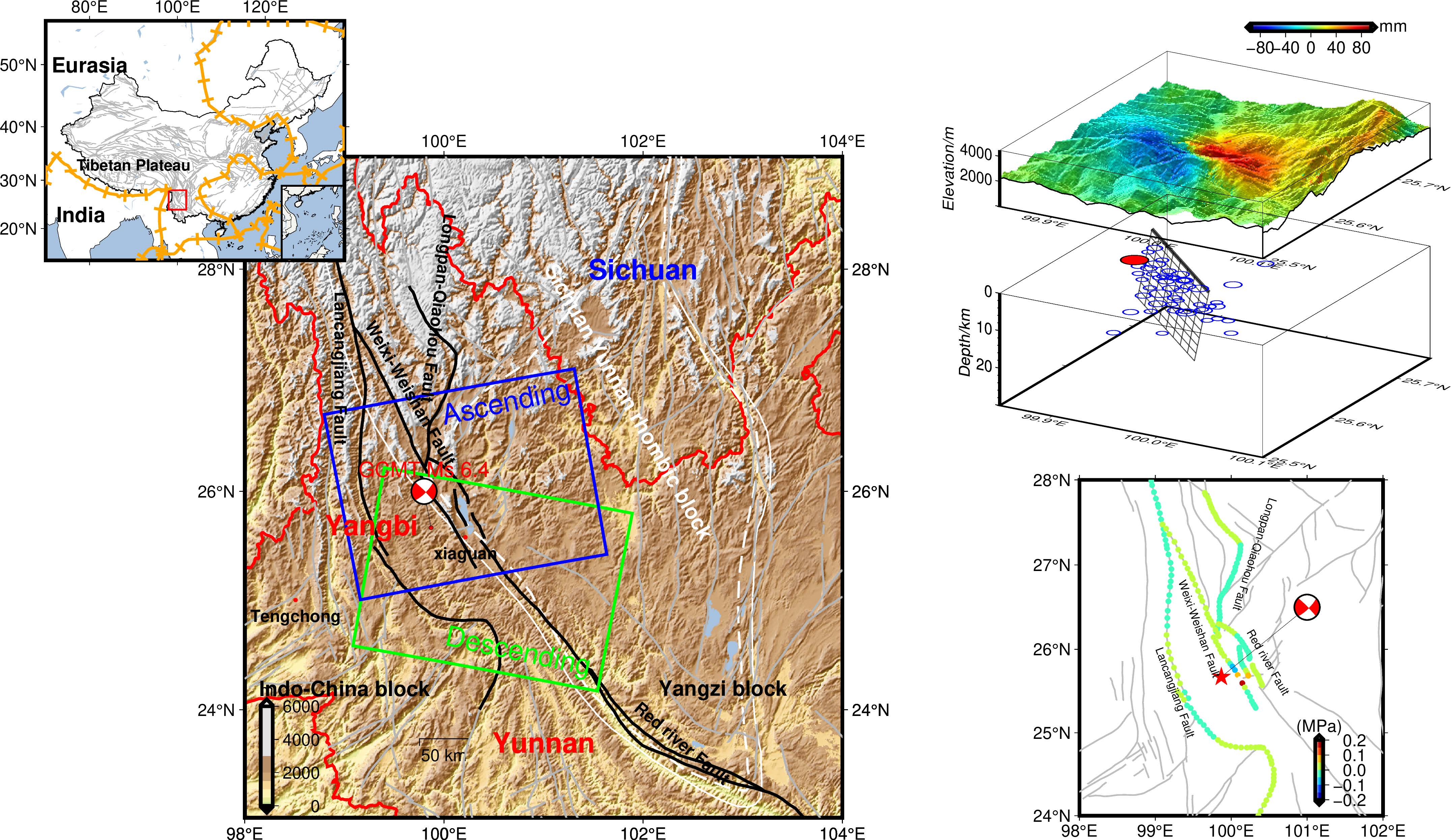
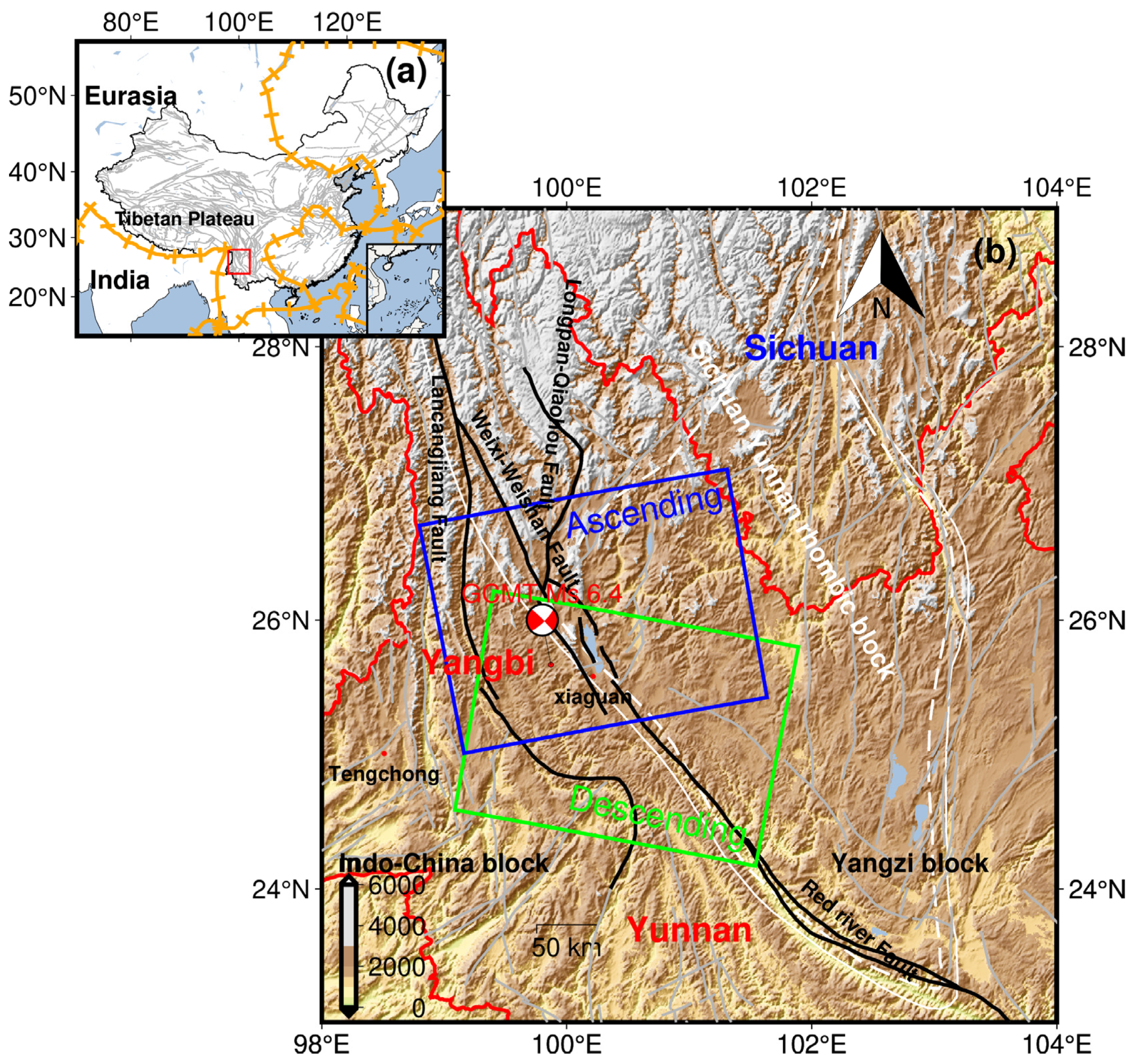
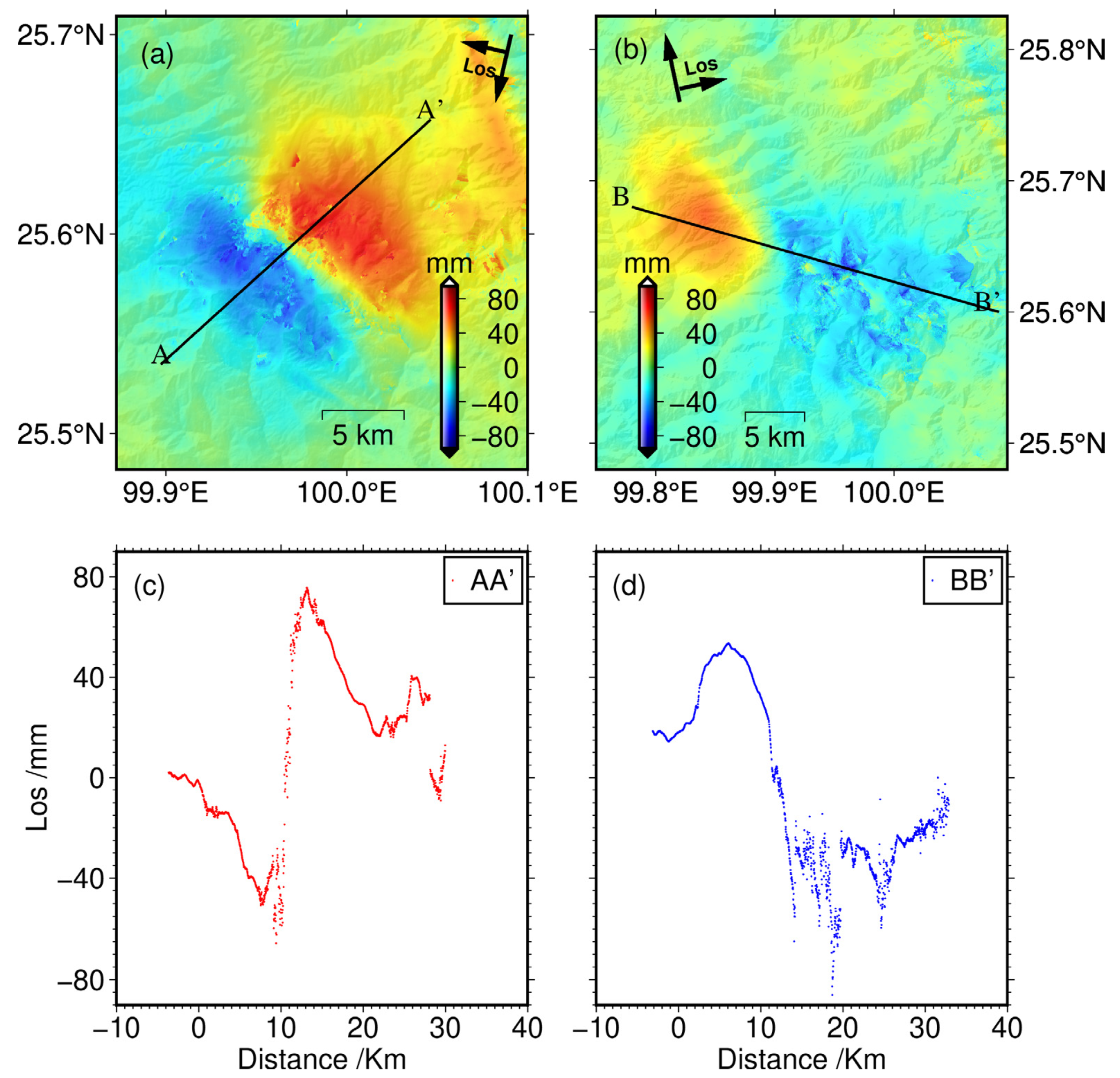
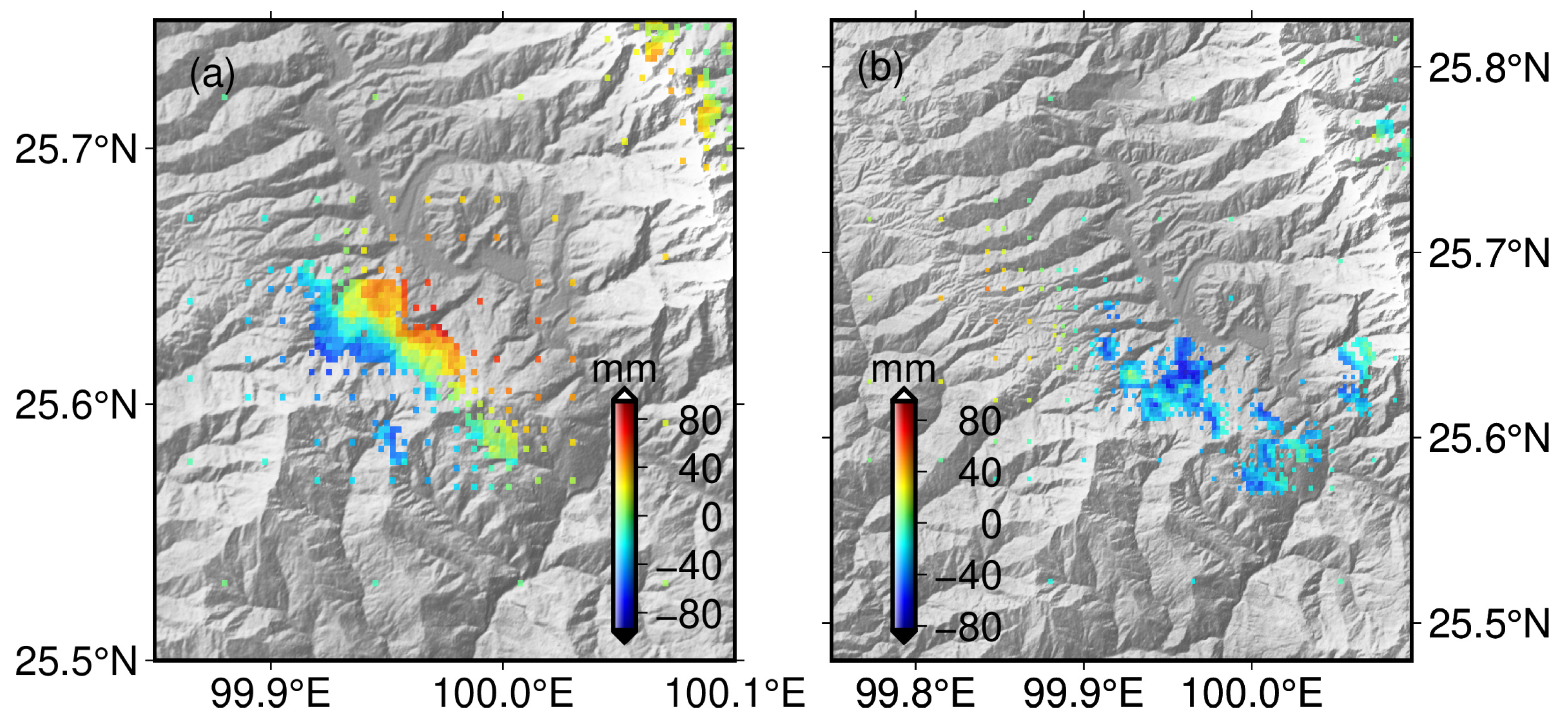
Coseismic Deformation Mechanisms of the 2021 Ms 6.4 Yangbi Earthquake, Yunnan Province, Using InSAR Observations


Abstract
Share and Cite
Zhang, B.; Xu, G.; Lu, Z.; He, Y.; Peng, M.; Feng, X. Coseismic Deformation Mechanisms of the 2021 Ms 6.4 Yangbi Earthquake, Yunnan Province, Using InSAR Observations. Remote Sens. 2021, 13, 3961. https://doi.org/10.3390/rs13193961
Zhang B, Xu G, Lu Z, He Y, Peng M, Feng X. Coseismic Deformation Mechanisms of the 2021 Ms 6.4 Yangbi Earthquake, Yunnan Province, Using InSAR Observations. Remote Sensing. 2021; 13(19):3961. https://doi.org/10.3390/rs13193961
Chicago/Turabian StyleZhang, Bing, Guochang Xu, Zhiping Lu, Yufang He, Mimi Peng, and Xueshang Feng. 2021. "Coseismic Deformation Mechanisms of the 2021 Ms 6.4 Yangbi Earthquake, Yunnan Province, Using InSAR Observations" Remote Sensing 13, no. 19: 3961. https://doi.org/10.3390/rs13193961
APA StyleZhang, B., Xu, G., Lu, Z., He, Y., Peng, M., & Feng, X. (2021). Coseismic Deformation Mechanisms of the 2021 Ms 6.4 Yangbi Earthquake, Yunnan Province, Using InSAR Observations. Remote Sensing, 13(19), 3961. https://doi.org/10.3390/rs13193961