Article

Broadacre Mapping of Wheat Biomass Using Ground-Based LiDAR Technology
by
André Freitas Colaço
1,*,
Michael Schaefer
2,3 and
Robert G. V. Bramley
1
1
CSIRO, Waite Campus, Glen Osmond, SA 5064, Australia
2
CSIRO, Black Mountain Science and Innovation Park, Acton, ACT 2601, Australia
3
Food Agility CRC Ltd., Ultimo, NSW 2007, Australia
*
Author to whom correspondence should be addressed.
Remote Sens. 2021, 13(16), 3218; https://doi.org/10.3390/rs13163218
Submission received: 1 July 2021 / Revised: 10 August 2021 / Accepted: 11 August 2021 / Published: 13 August 2021
(This article belongs to the Special Issue Digital Agriculture with Remote Sensing)

Abstract

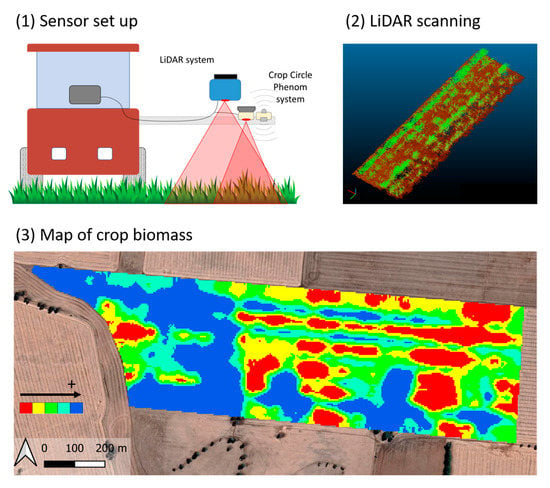
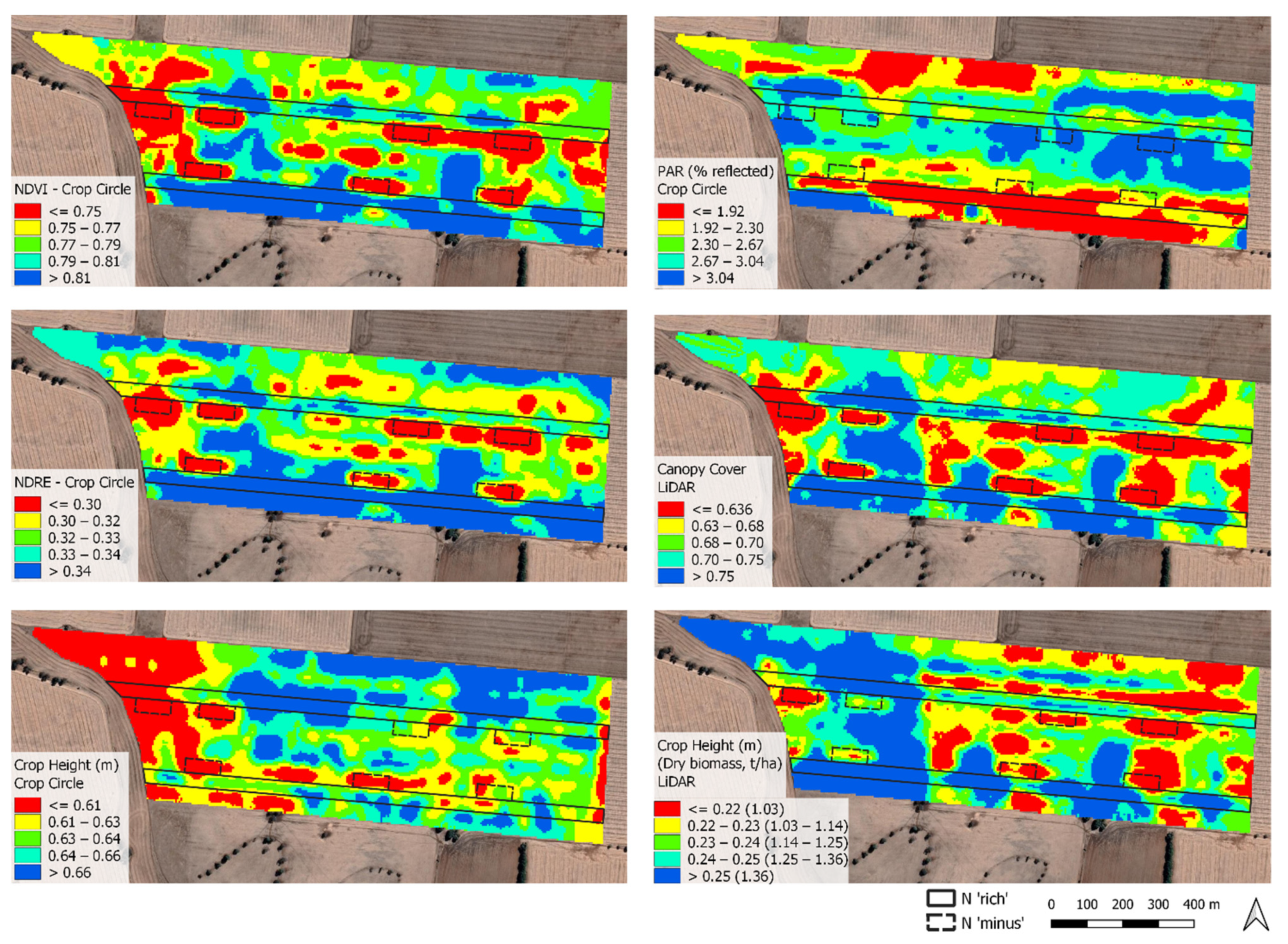
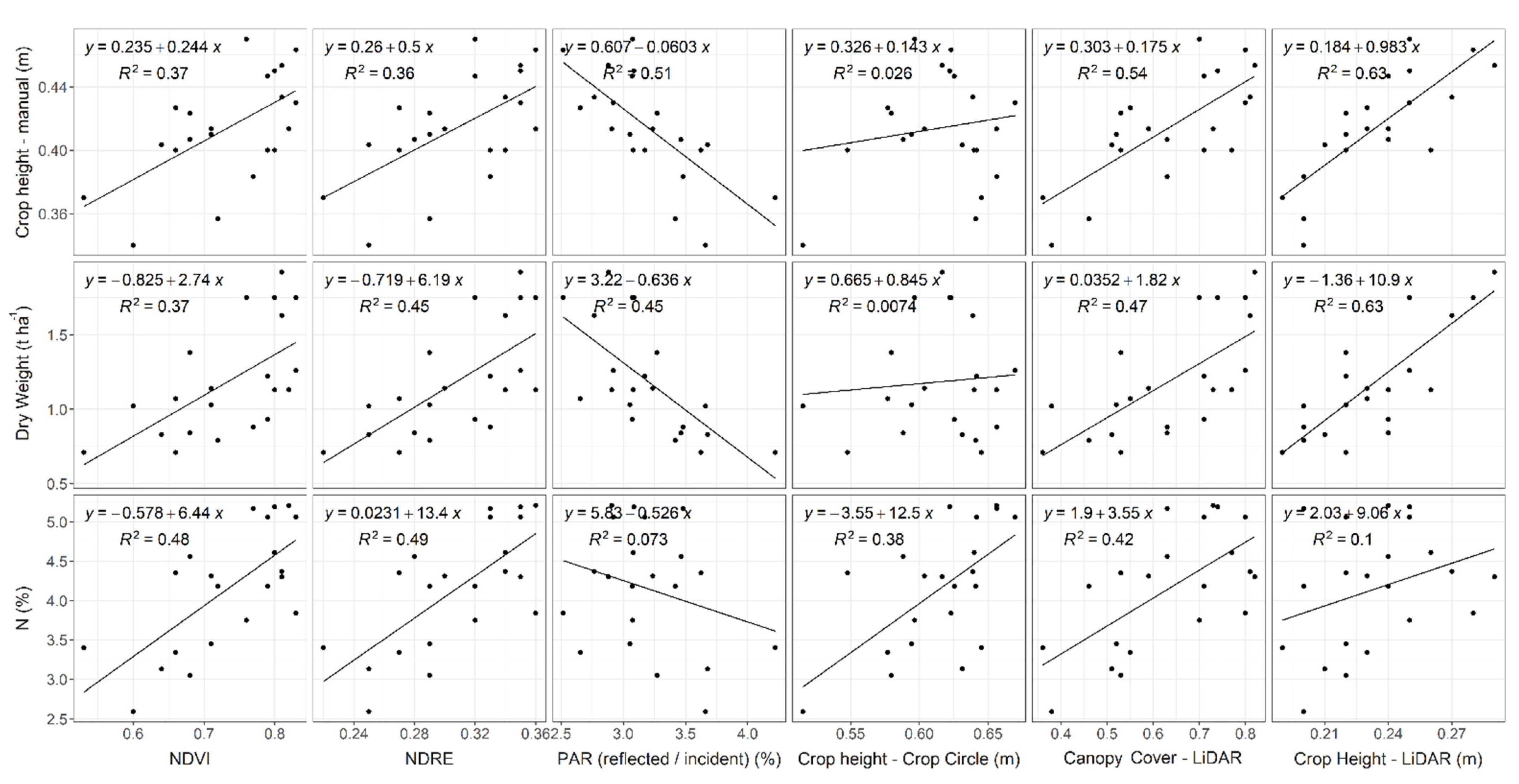
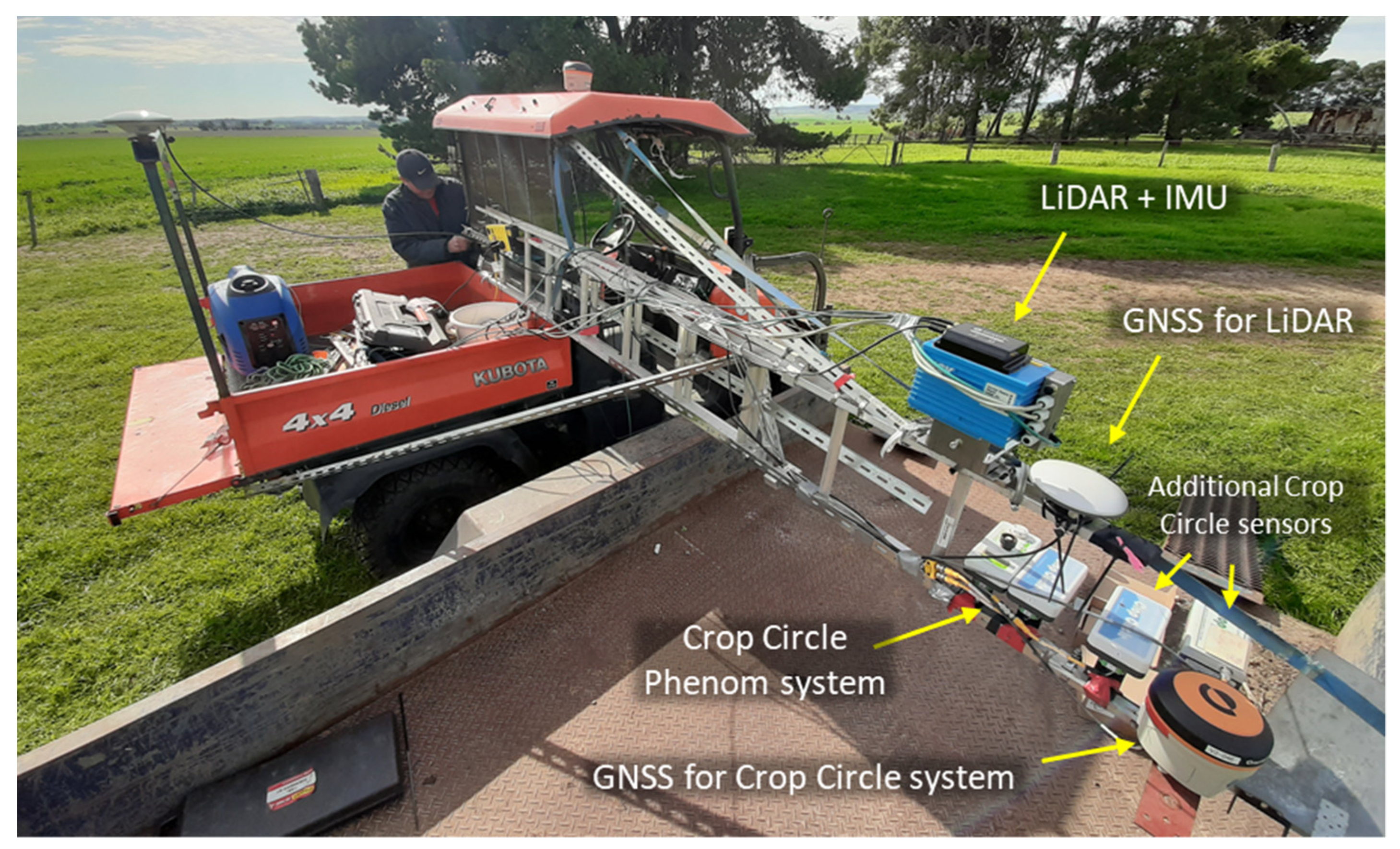
Crop biomass is an important attribute to consider in relation to site-specific nitrogen (N) management as critical N levels in plants vary depending on crop biomass. Whilst LiDAR technology has been used extensively in small plot-based phenomics studies, large-scale crop scanning has not yet been reported for cereal crops. A LiDAR sensing system was implemented to map a commercial 64-ha wheat paddock to assess the spatial variability of crop biomass. A proximal active reflectance sensor providing spectral indices and estimates of crop height was used as a comparison for the LiDAR system. Plant samples were collected at targeted locations across the field for the assessment of relationships between sensed and measured crop parameters. The correlation between crop biomass and LiDAR-derived crop height was 0.79, which is similar to results reported for plot scanning studies and greatly superior to results obtained for the spectral sensor tested. The LiDAR mapping showed significant crop biomass variability across the field, with estimated values ranging between 460 and 1900 kg ha−1. The results are encouraging for the use of LiDAR technology for large-scale operations to support site-specific management. To promote such an approach, we encourage the development of an automated, on-the-go data processing capability and dedicated commercial LiDAR systems for field operation.
Keywords: laser scanner; site-specific management; nitrogen; precision agriculture; digital agriculture laser scanner; site-specific management; nitrogen; precision agriculture; digital agriculture
Graphical Abstract