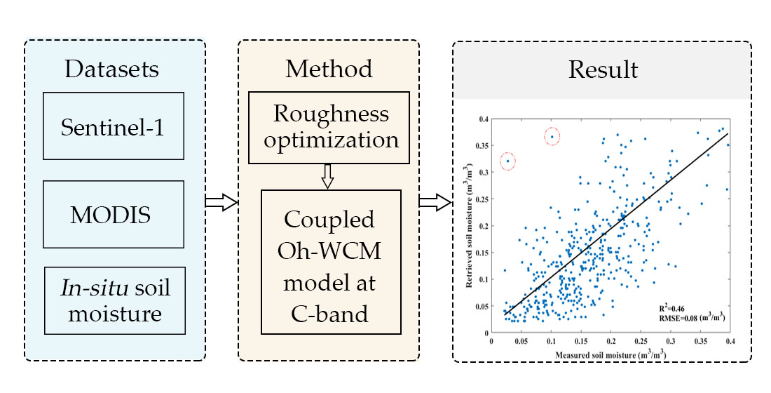
Soil Moisture Retrievals Using Multi-Temporal Sentinel-1 Data over Nagqu Region of Tibetan Plateau
Abstract
Share and Cite
Yang, M.; Wang, H.; Tong, C.; Zhu, L.; Deng, X.; Deng, J.; Wang, K. Soil Moisture Retrievals Using Multi-Temporal Sentinel-1 Data over Nagqu Region of Tibetan Plateau. Remote Sens. 2021, 13, 1913. https://doi.org/10.3390/rs13101913
Yang M, Wang H, Tong C, Zhu L, Deng X, Deng J, Wang K. Soil Moisture Retrievals Using Multi-Temporal Sentinel-1 Data over Nagqu Region of Tibetan Plateau. Remote Sensing. 2021; 13(10):1913. https://doi.org/10.3390/rs13101913
Chicago/Turabian StyleYang, Mengying, Hongquan Wang, Cheng Tong, Luyao Zhu, Xiaodong Deng, Jinsong Deng, and Ke Wang. 2021. "Soil Moisture Retrievals Using Multi-Temporal Sentinel-1 Data over Nagqu Region of Tibetan Plateau" Remote Sensing 13, no. 10: 1913. https://doi.org/10.3390/rs13101913
APA StyleYang, M., Wang, H., Tong, C., Zhu, L., Deng, X., Deng, J., & Wang, K. (2021). Soil Moisture Retrievals Using Multi-Temporal Sentinel-1 Data over Nagqu Region of Tibetan Plateau. Remote Sensing, 13(10), 1913. https://doi.org/10.3390/rs13101913