Article

Extending Multi-Beam Sonar with Structure from Motion Data of Shorelines for Complete Pool Bathymetry of Reservoirs

by
Izaak Cooper
,
Rollin H. Hotchkiss
and
Gustavious Paul Williams
*
Department of Civil and Environmental Engineering, Brigham Young University, Provo, UT 84602, USA
*
Author to whom correspondence should be addressed.
Remote Sens. 2021, 13(1), 35; https://doi.org/10.3390/rs13010035
Submission received: 13 November 2020 / Revised: 18 December 2020 / Accepted: 22 December 2020 / Published: 24 December 2020
(This article belongs to the Special Issue Applications of Remote Sensing in Limnology)

Abstract

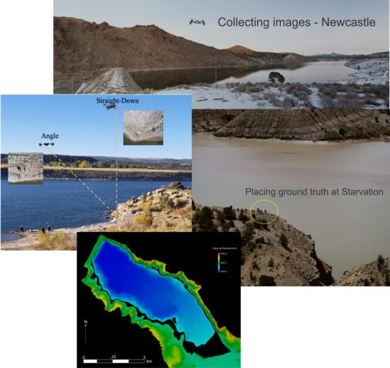
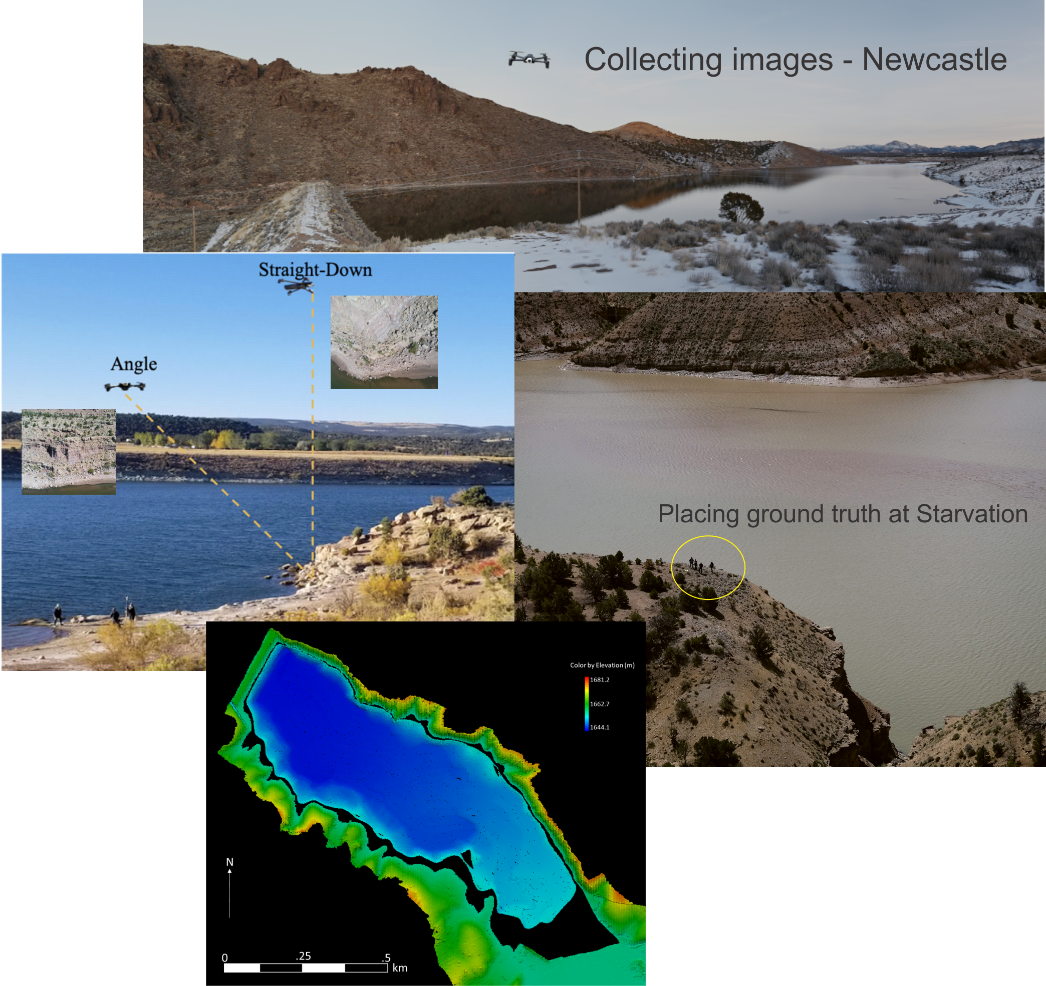
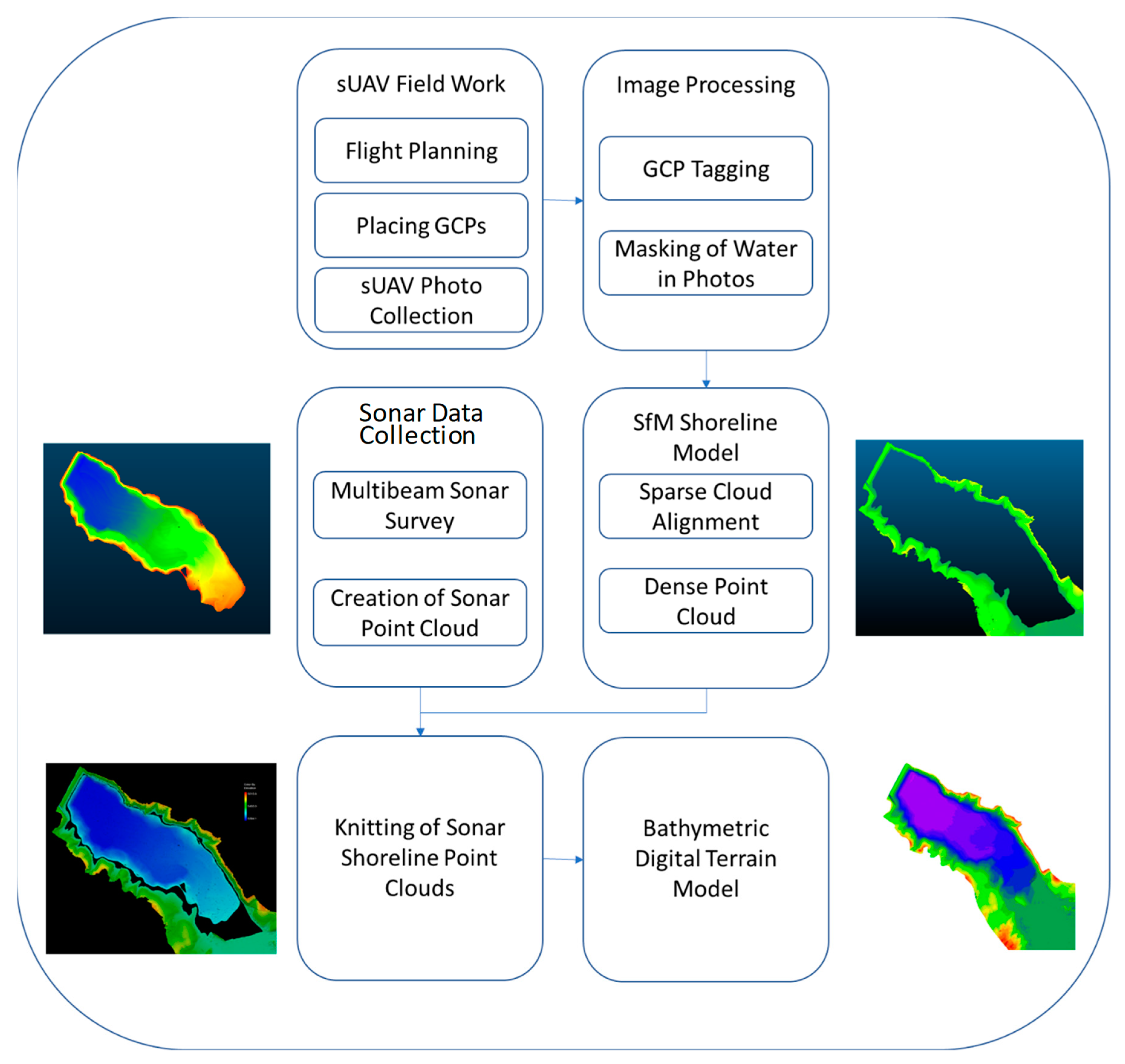
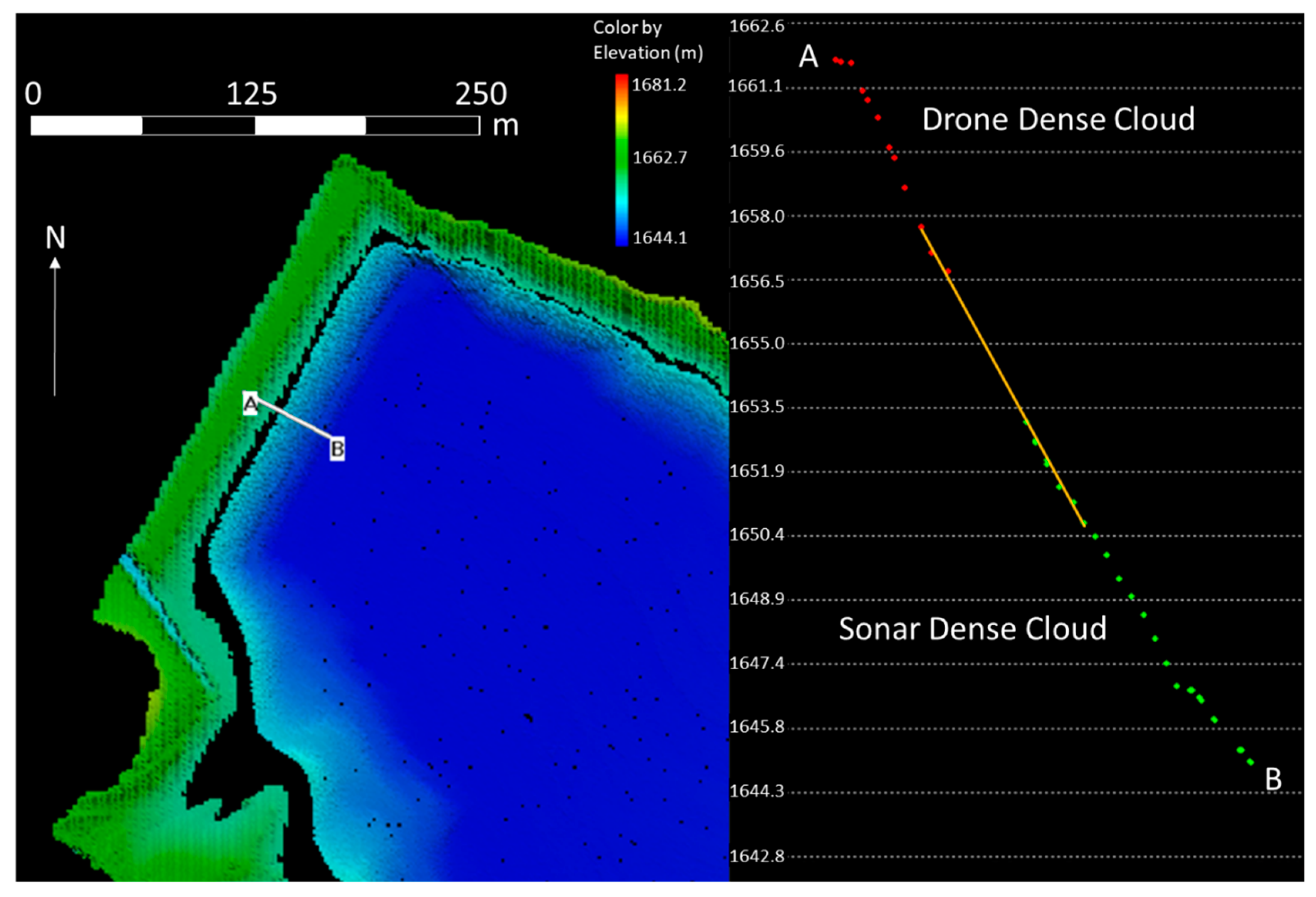
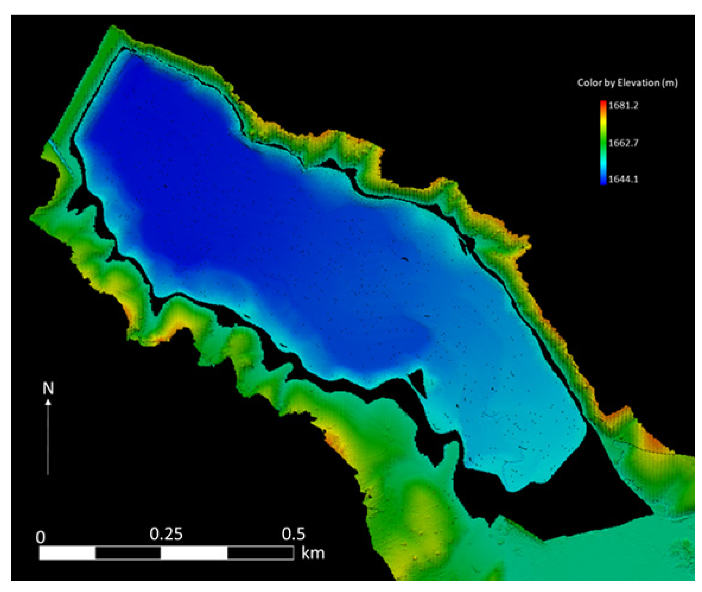
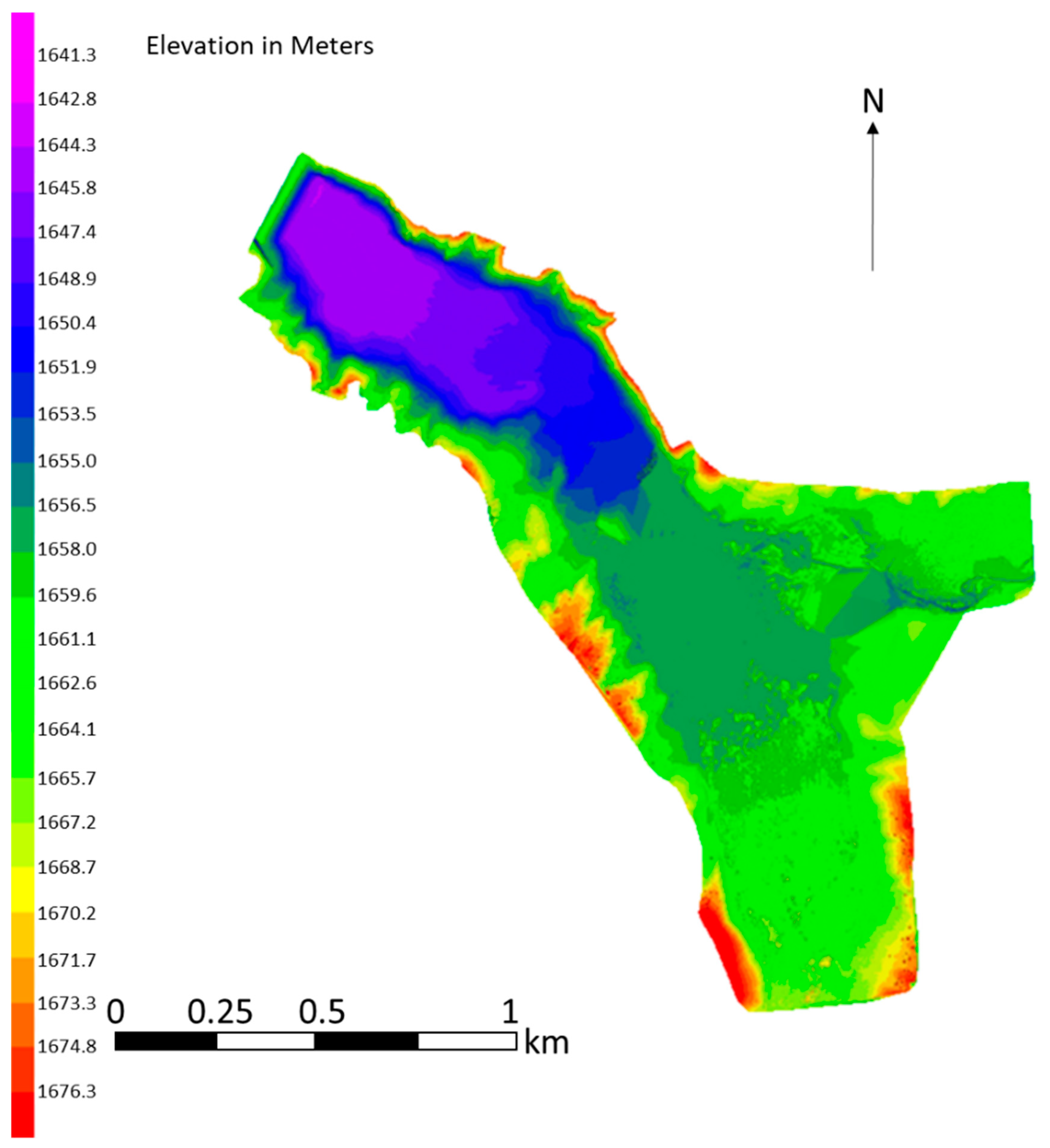
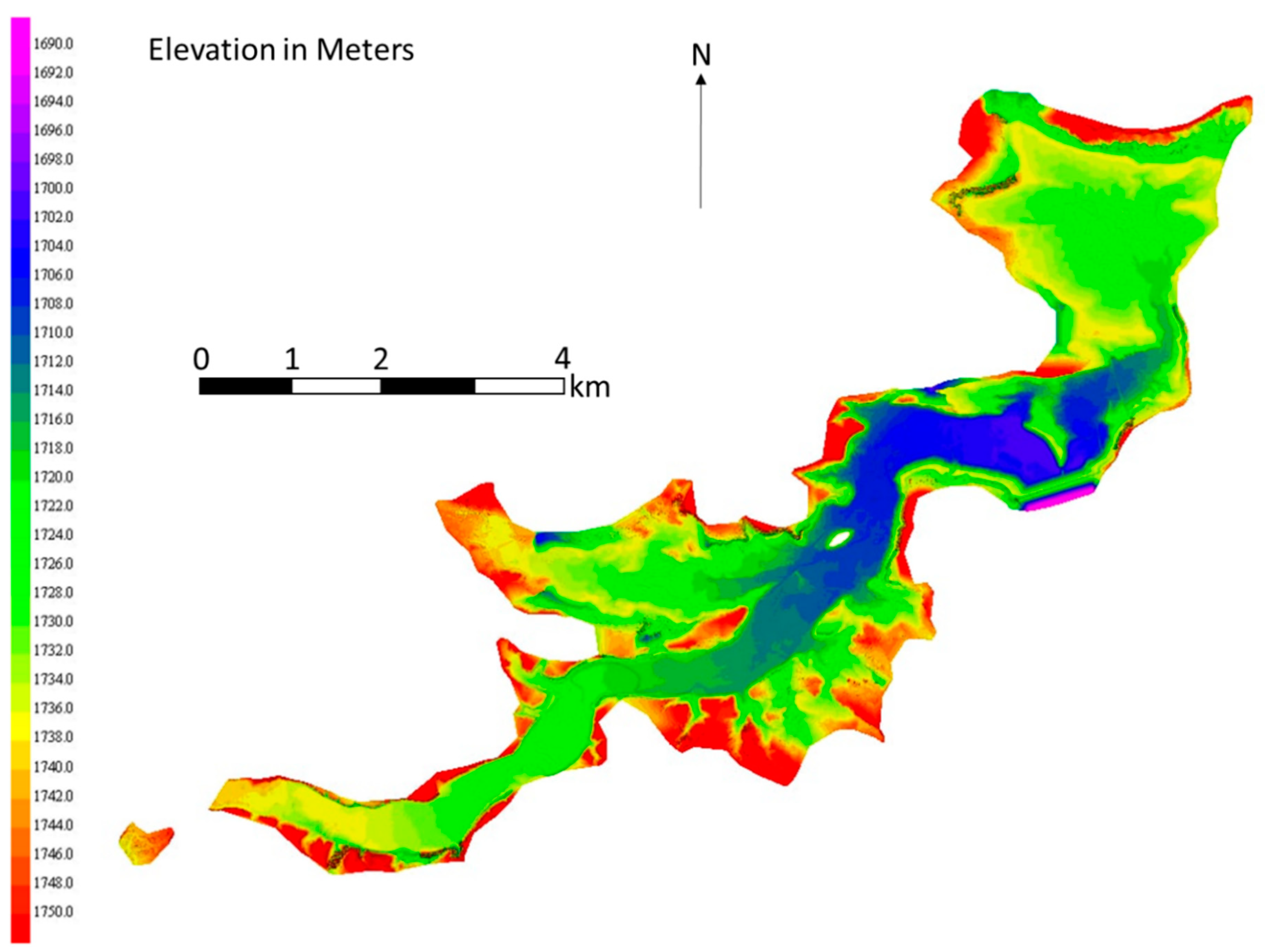
Bathymetric mapping is an important tool for reservoir management, typically completed before reservoir construction. Historically, bathymetric maps were produced by interpolating between points measured at a relatively large spacing throughout a reservoir, typically on the order of a few, up to 10, meters or more depending on the size of the reservoir. These measurements were made using traditional survey methods before the reservoir was filled, or using sonar surveys after filling. Post-construction issues such as sedimentation and erosion can change a reservoir, but generating updated bathymetric maps is difficult as the areas of interest are typically in the sediment deltas and other difficult-to-access areas that are often above water or exposed for part of the year. We present a method to create complete reservoir bathymetric maps, including areas above the water line, using small unmanned aerial vehicle (sUAV) photogrammetry combined with multi-beam sonar data—both established methods for producing topographic models. This is a unique problem because the shoreline topographic models generated by the photogrammetry are long and thin, not an optimal geometry for model creation, and most images contain water, which causes issues with image-matching algorithms. This paper presents methods to create accurate above-water shoreline models using images from sUAVs, processed using a commercial software package and a method to accurately knit sonar and Structure from Motion (SfM) data sets by matching slopes. The models generated by both approaches are point clouds, which consist of points representing the ground surface in three-dimensional space. Generating models from sUAV-captured images requires ground control points (GCPs), i.e., points with a known location, to anchor model creation. For this study, we explored issues with ground control spacing, masking water regions (or omitting water regions) in the images, using no GCPs, and incorrectly tagging a GCP. To quantify the effect these issues had on model accuracy, we computed the difference between generated clouds and a reference point cloud to determine the point cloud error. We found that the time required to place GCPs was significantly more than the time required to capture images, so optimizing GCP density is important. To generate long, thin shoreline models, we found that GCPs with a ~1.5-km (~1-mile) spacing along a shoreline are sufficient to generate useful data. This spacing resulted in an average error of 5.5 cm compared to a reference cloud that was generated using ~0.5-km (~1/4-mile) GCP spacing. We found that we needed to mask water and areas related to distant regions and sky in images used for model creation. This is because water, objects in the far oblique distance, and sky confuse the algorithms that match points among images. If we did not mask the images, the resulting models had errors of more than 20 m. Our sonar point clouds, while self-consistent, were not accurately georeferenced, which is typical for most reservoir surveys. We demonstrate a method using cross-sections of the transition between the above-water clouds and sonar clouds to geo-locate the sonar data and accurately knit the two data sets. Shore line topography models (long and thin) and integration of sonar and drone data is a niche area that leverages current advances in data collection and processing. Our work will help researchers and practitioners use these advances to generate accurate post-construction reservoir bathometry maps to assist with reservoir management.
Keywords: bathymetry; structure from motion (SfM); small unmanned aerial vehicle (sUAV); reservoirs; drones; shoreline; sonar bathymetry; structure from motion (SfM); small unmanned aerial vehicle (sUAV); reservoirs; drones; shoreline; sonar
Graphical Abstract