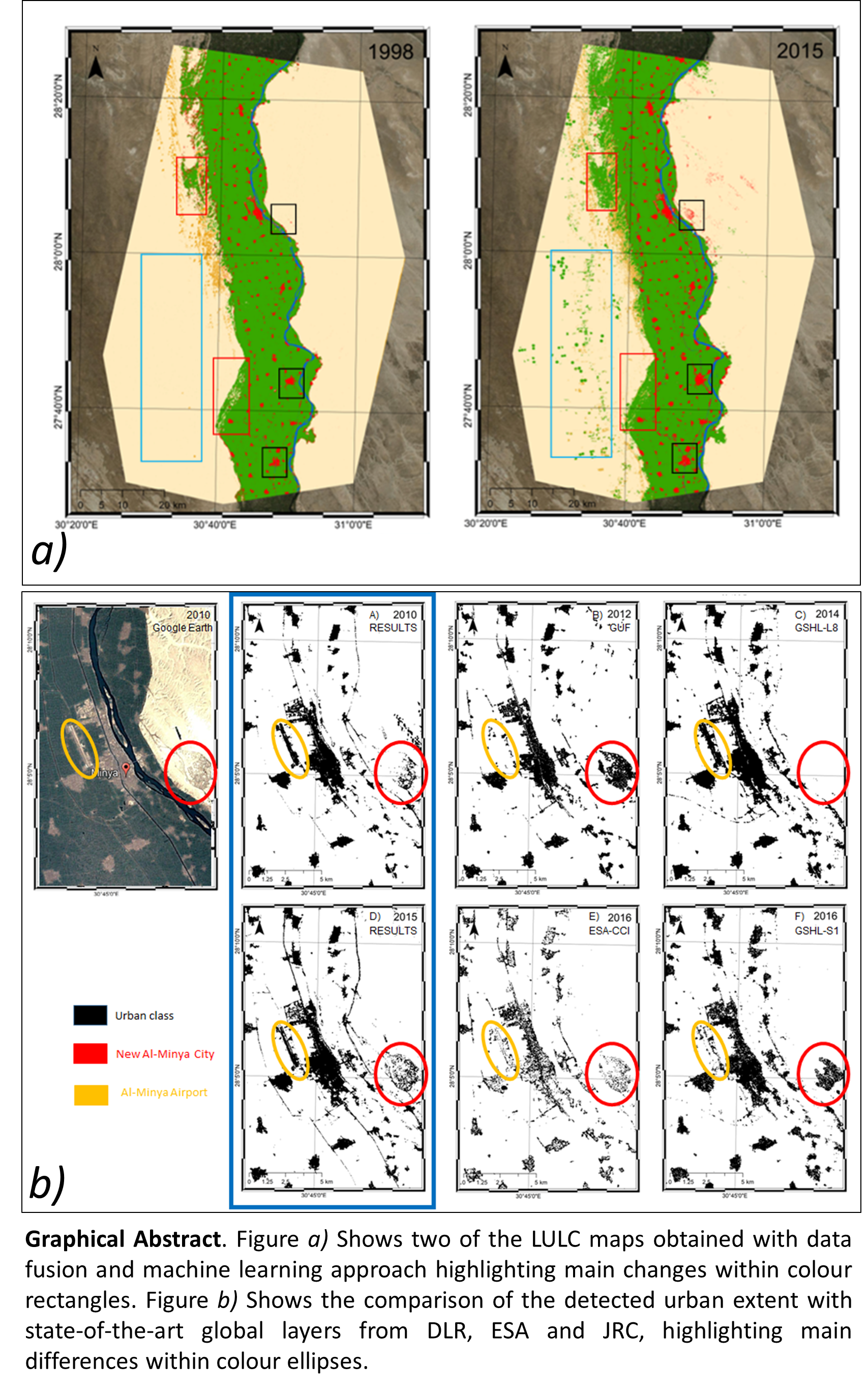
Mapping and Quantifying the Human-Environment Interactions in Middle Egypt Using Machine Learning and Satellite Data Fusion Techniques



Abstract
Share and Cite
Delgado Blasco, J.M.; Cian, F.; Hanssen, R.F.; Verstraeten, G. Mapping and Quantifying the Human-Environment Interactions in Middle Egypt Using Machine Learning and Satellite Data Fusion Techniques. Remote Sens. 2020, 12, 584. https://doi.org/10.3390/rs12030584
Delgado Blasco JM, Cian F, Hanssen RF, Verstraeten G. Mapping and Quantifying the Human-Environment Interactions in Middle Egypt Using Machine Learning and Satellite Data Fusion Techniques. Remote Sensing. 2020; 12(3):584. https://doi.org/10.3390/rs12030584
Chicago/Turabian StyleDelgado Blasco, José Manuel, Fabio Cian, Ramon F. Hanssen, and Gert Verstraeten. 2020. "Mapping and Quantifying the Human-Environment Interactions in Middle Egypt Using Machine Learning and Satellite Data Fusion Techniques" Remote Sensing 12, no. 3: 584. https://doi.org/10.3390/rs12030584
APA StyleDelgado Blasco, J. M., Cian, F., Hanssen, R. F., & Verstraeten, G. (2020). Mapping and Quantifying the Human-Environment Interactions in Middle Egypt Using Machine Learning and Satellite Data Fusion Techniques. Remote Sensing, 12(3), 584. https://doi.org/10.3390/rs12030584