Article

Assessment of Optimal Transport for Operational Land-Cover Mapping Using High-Resolution Satellite Images Time Series without Reference Data of the Mapping Period


1
Centre d’Etudes Spatiales de la BIOsphere (CESBIO), Université de Toulouse, CNES/CNRS/IRD/UPS/INRA, 31401 Toulouse, France
2
Cente Nationnal d’Etudes Spatiales (CNES), 31401 Toulouse, France
*
Author to whom correspondence should be addressed.
Remote Sens. 2019, 11(9), 1047; https://doi.org/10.3390/rs11091047
Submission received: 20 March 2019 / Revised: 17 April 2019 / Accepted: 29 April 2019 / Published: 3 May 2019
(This article belongs to the Section Remote Sensing Image Processing)

Abstract

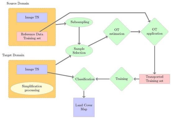
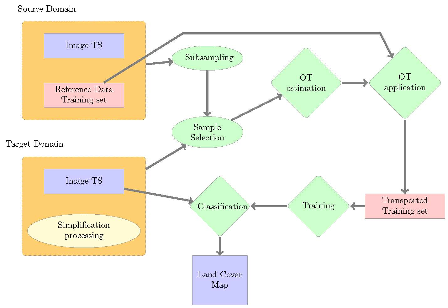
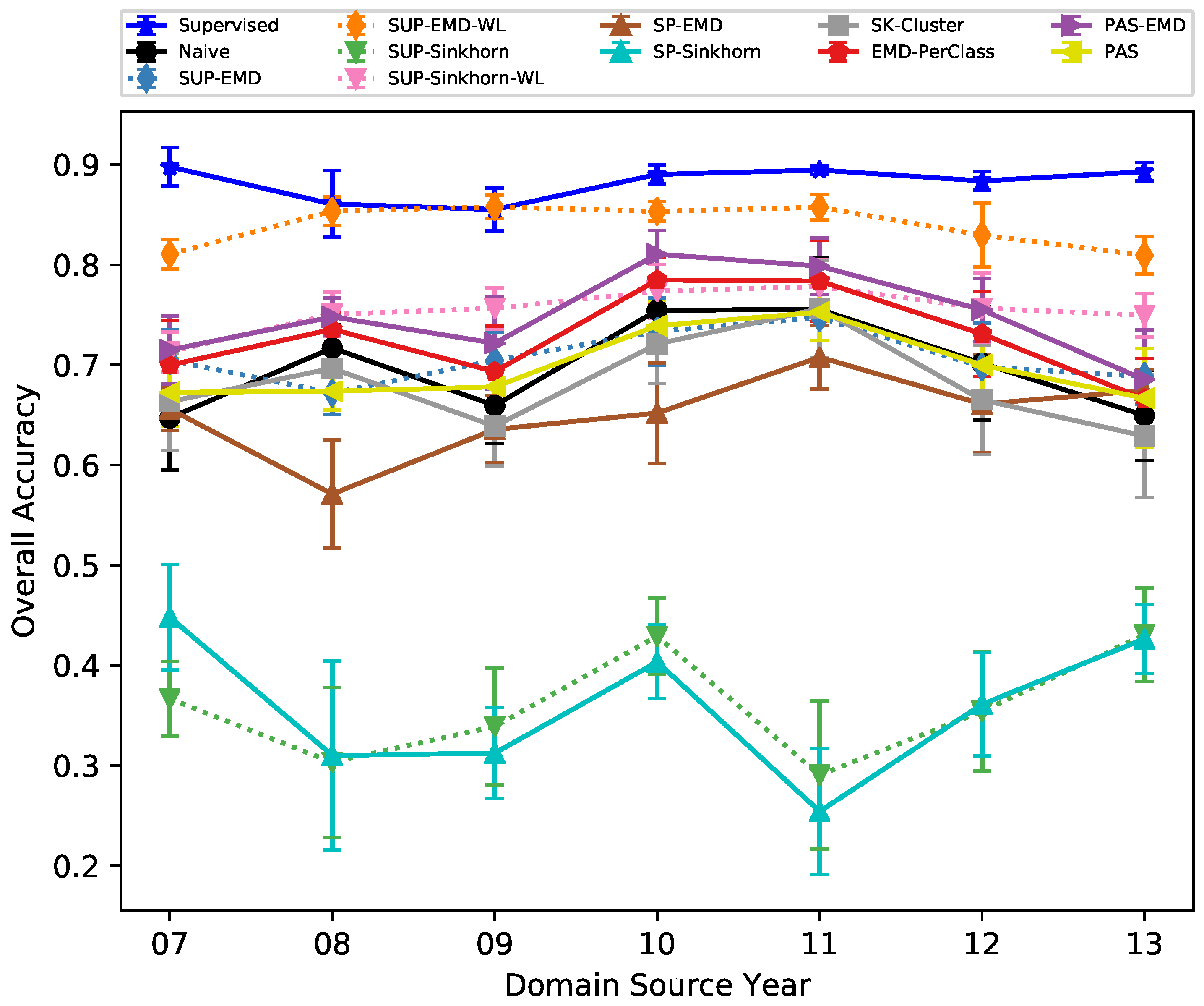
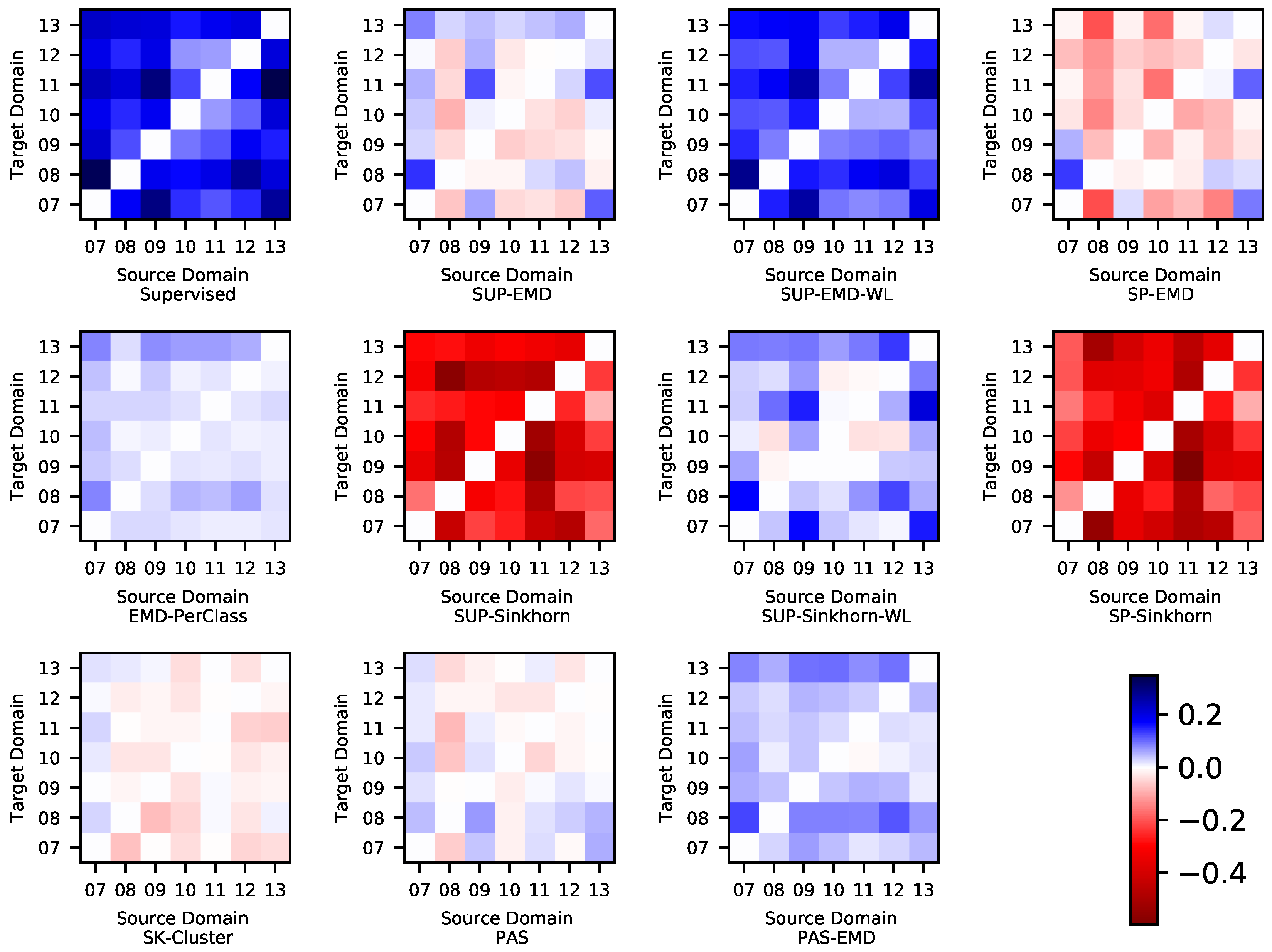
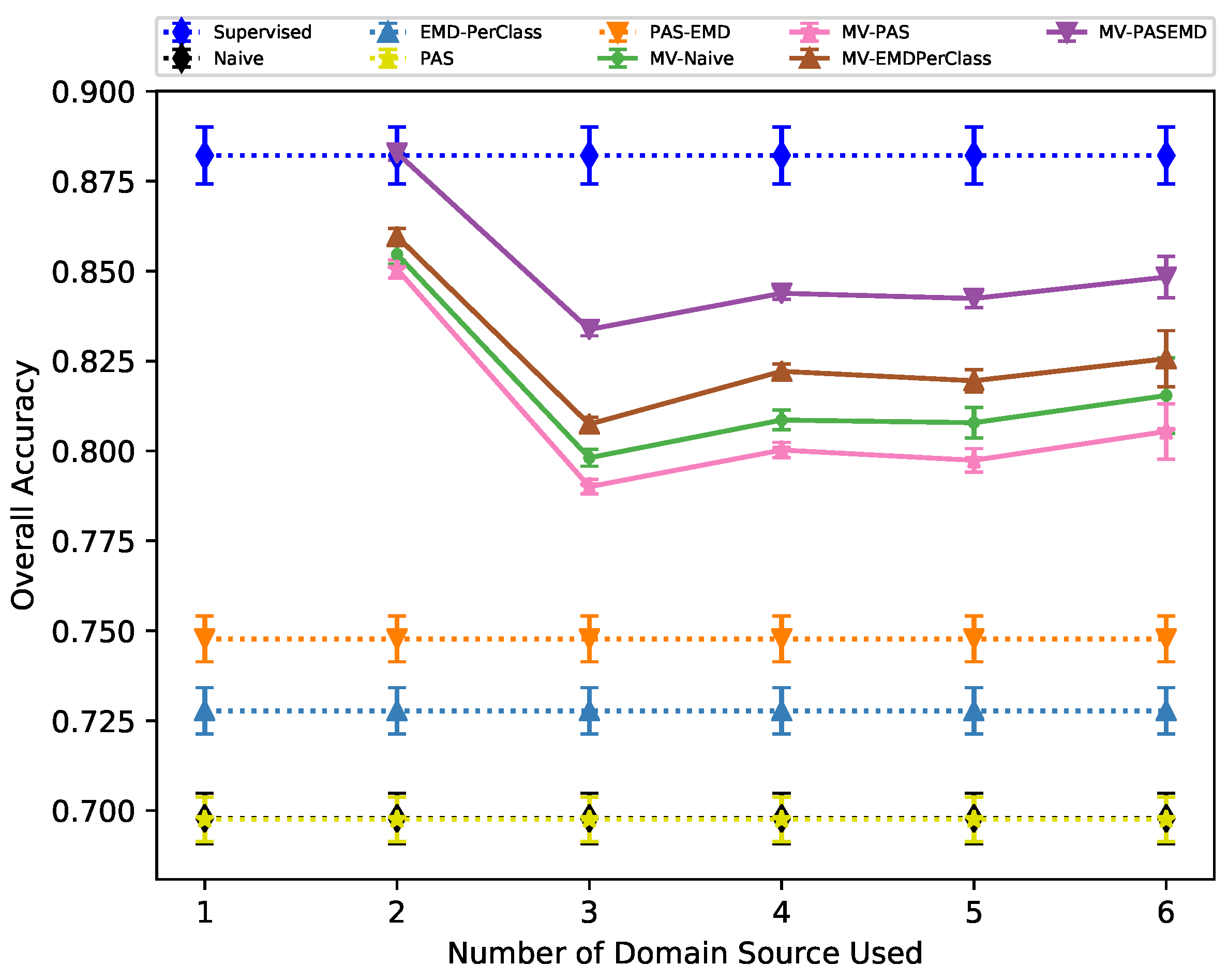
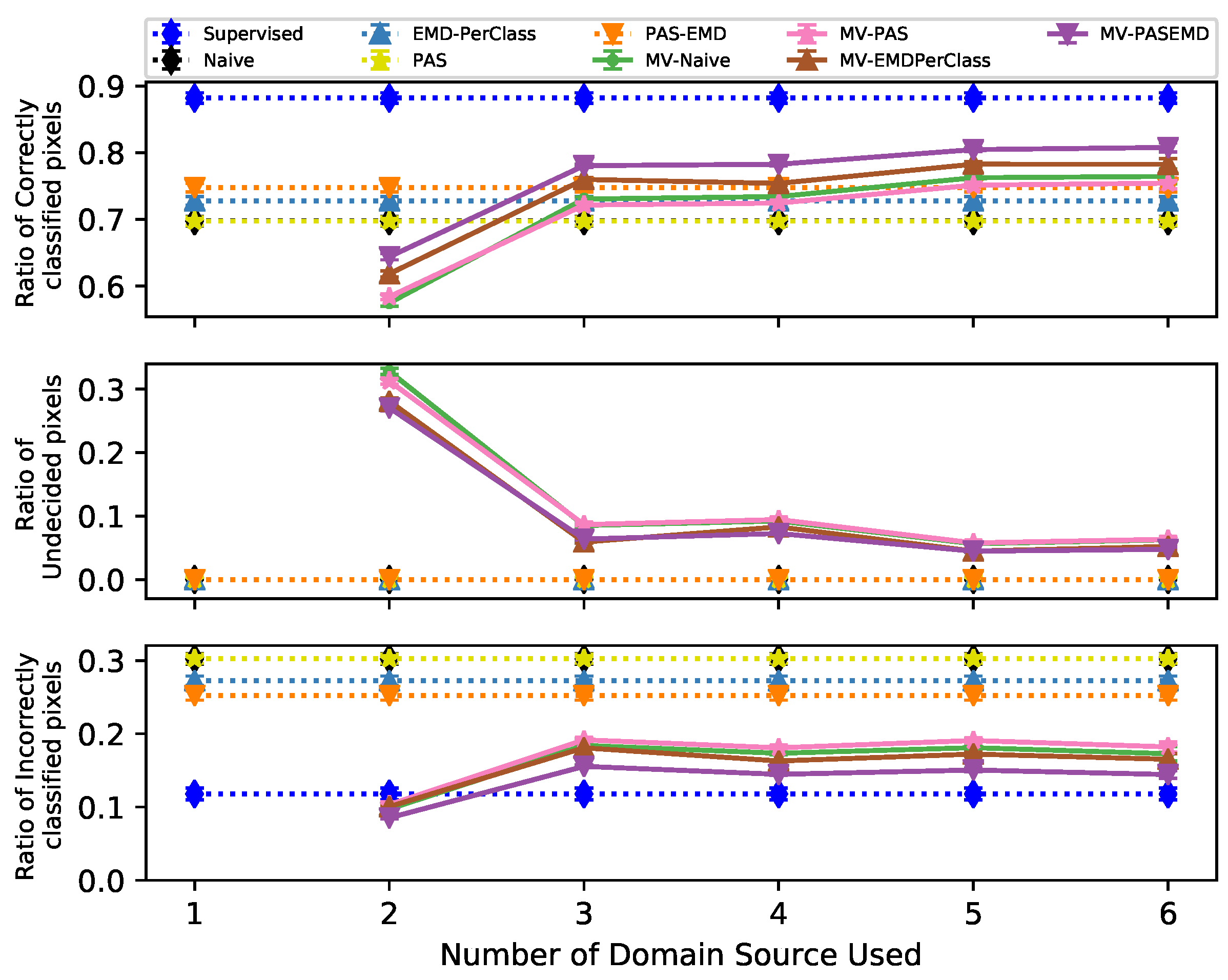
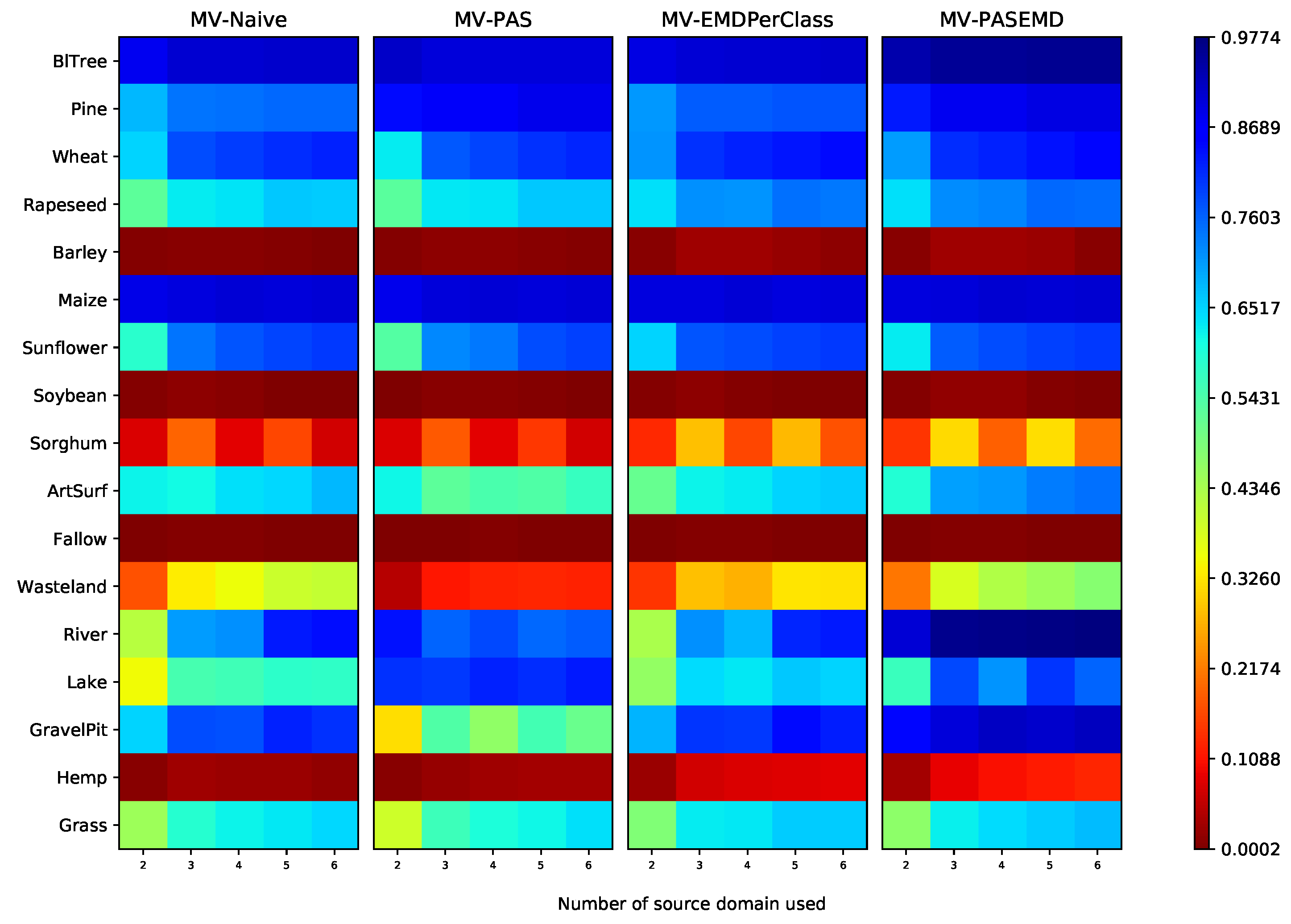
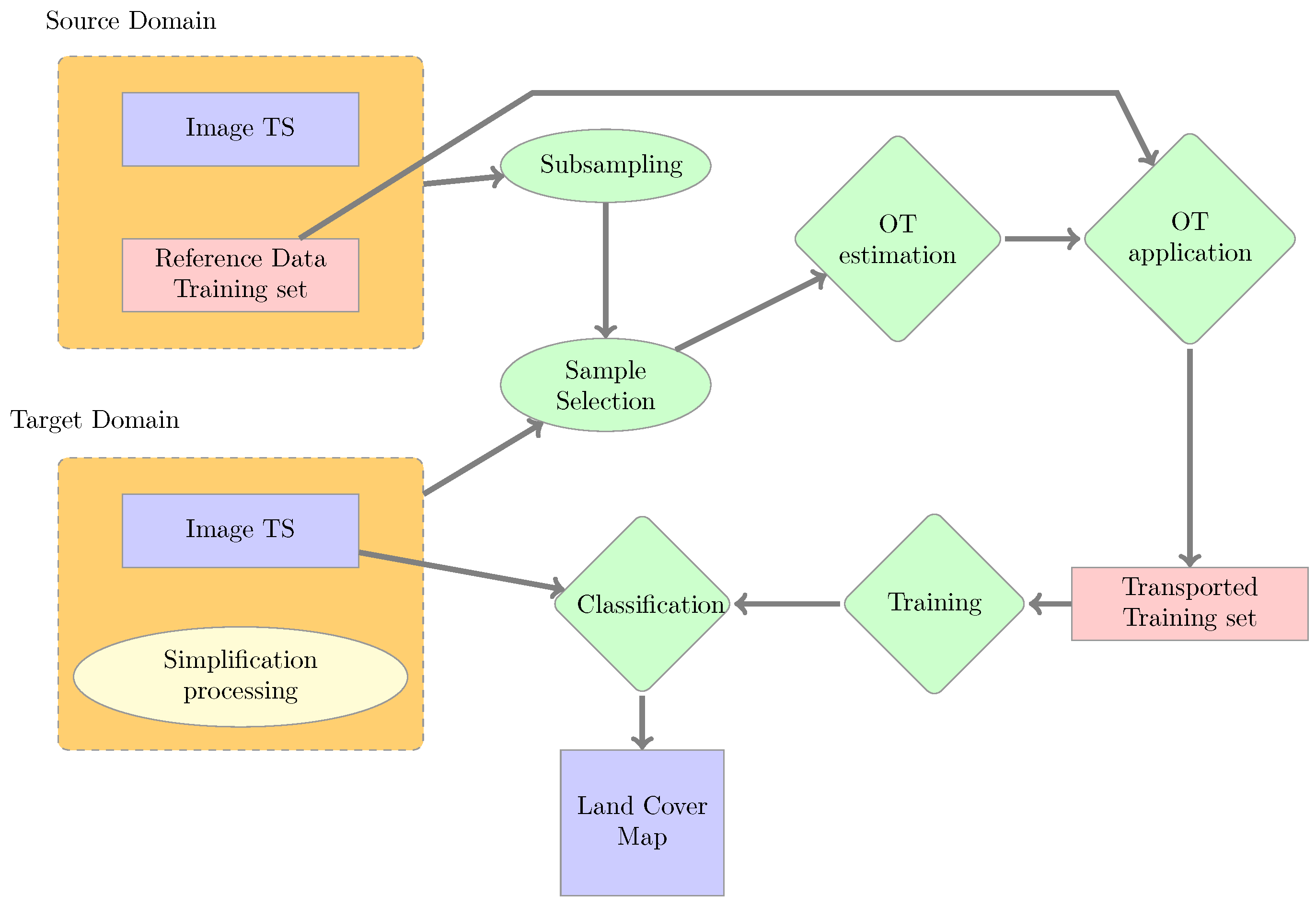
Land-cover map production using remote-sensing imagery is governed by data availability. In our case, data sources are two-fold: on one hand, optical data provided regularly by satellites such as Sentinel-2, and on the other hand, reference data which allow calibrating mapping methods or validating the results. The lengthy delays due to reference data collection and cleansing are one of the main issues for applications. In this work, the use of Optimal Transport (OT) is proposed. OT is a Domain Adaptation method that uses past data, both images and reference data, to produce the land-cover map of the current period without updated reference data. Seven years of Formosat-2 image time series and the corresponding reference data are used to evaluate two OT algorithms: conventional EMD transport and regularized transport based on the Sinkhorn distance. The contribution of OT to a classification fusion strategy is also evaluated. The results show that with a 17-class nomenclature the problem is too complex for the Sinkhorn algorithm, which provides maps with an Overall Accuracy (OA) of 30%. In contrast, with the EMD algorithm, an OA close to 70% is obtained. One limitation of OT is the number of classes that can be considered at the same time. Simplification schemes are proposed to reduce the number of classes to be transported. Cases of improvement are shown when the problem is simplified, with an improvement in OA varying from 5% and 20%, producing maps with an OA near 79%. As several years are available, the OT approaches are compared to standard fusion schemes, like majority voting. The gain in voting strategies with OT use is lower than the gain obtained with standard majority voting (around 5%).
Keywords: land-cover; satellite image time series; Random Forests; Domain Adaptation; Optimal Transport; Classification Fusion land-cover; satellite image time series; Random Forests; Domain Adaptation; Optimal Transport; Classification Fusion
Graphical Abstract