Article

Improved Co-Registration of Sentinel-2 and Landsat-8 Imagery for Earth Surface Motion Measurements

1
École et Observatoire des Sciences de la Terre-EOST/CNRS UMS 830, University of Strasbourg, 67084 Strasbourg, France
2
Laboratoire des Sciences de L’ingénieur, de L’informatique et de L’imagerie, ICube/CNRS UMR 7357, University of Strasbourg, 67412 Illkirch, France
3
Institut de Physique du Globe de Strasbourg-IPGS/CNRS UMR 7516, University of Strasbourg, 67084 Strasbourg, France
*
Author to whom correspondence should be addressed.
Remote Sens. 2018, 10(2), 160; https://doi.org/10.3390/rs10020160
Submission received: 4 December 2017 / Revised: 2 January 2018 / Accepted: 9 January 2018 / Published: 23 January 2018
(This article belongs to the Special Issue Analysis of Multi-temporal Remote Sensing Images)

Abstract

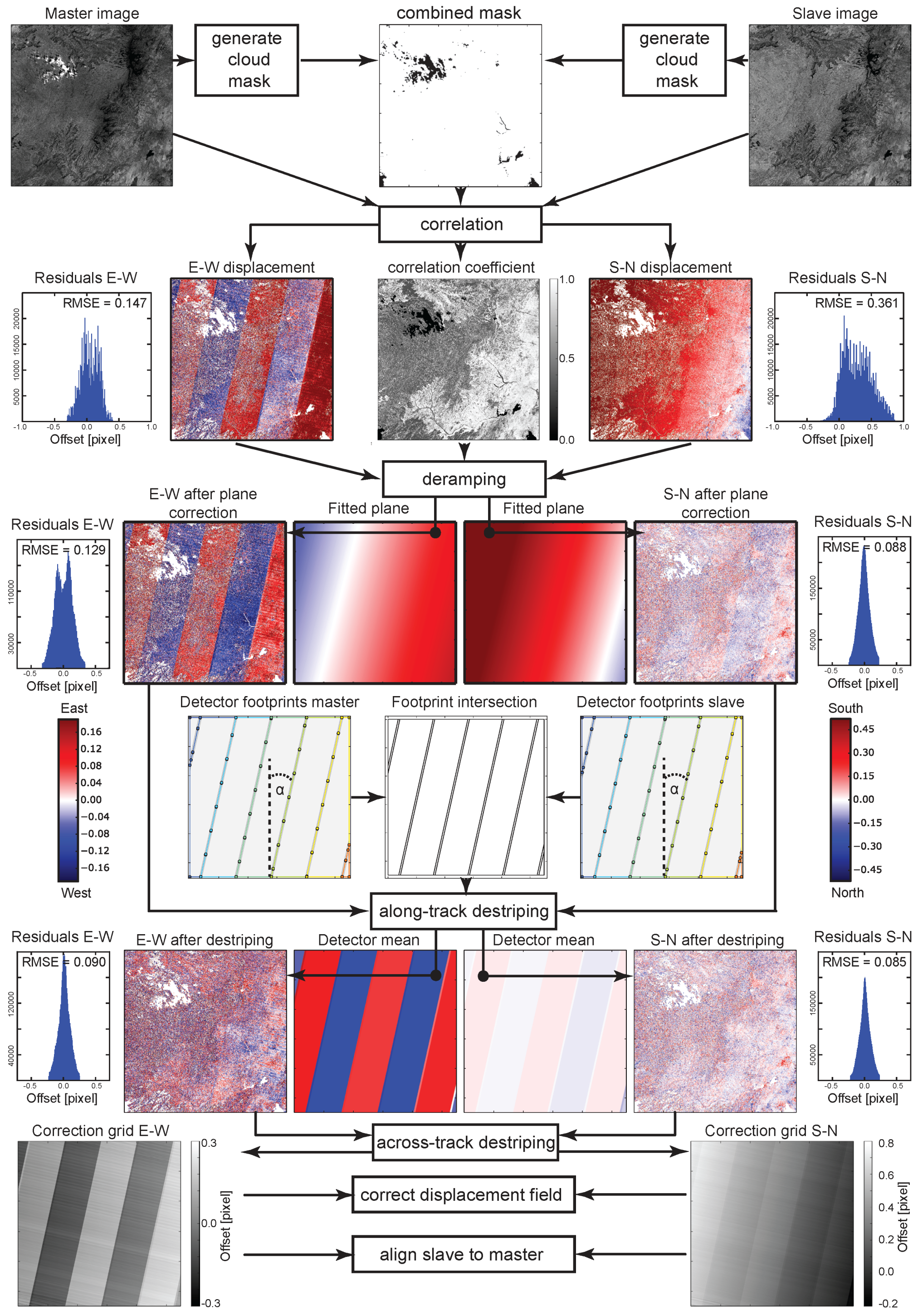
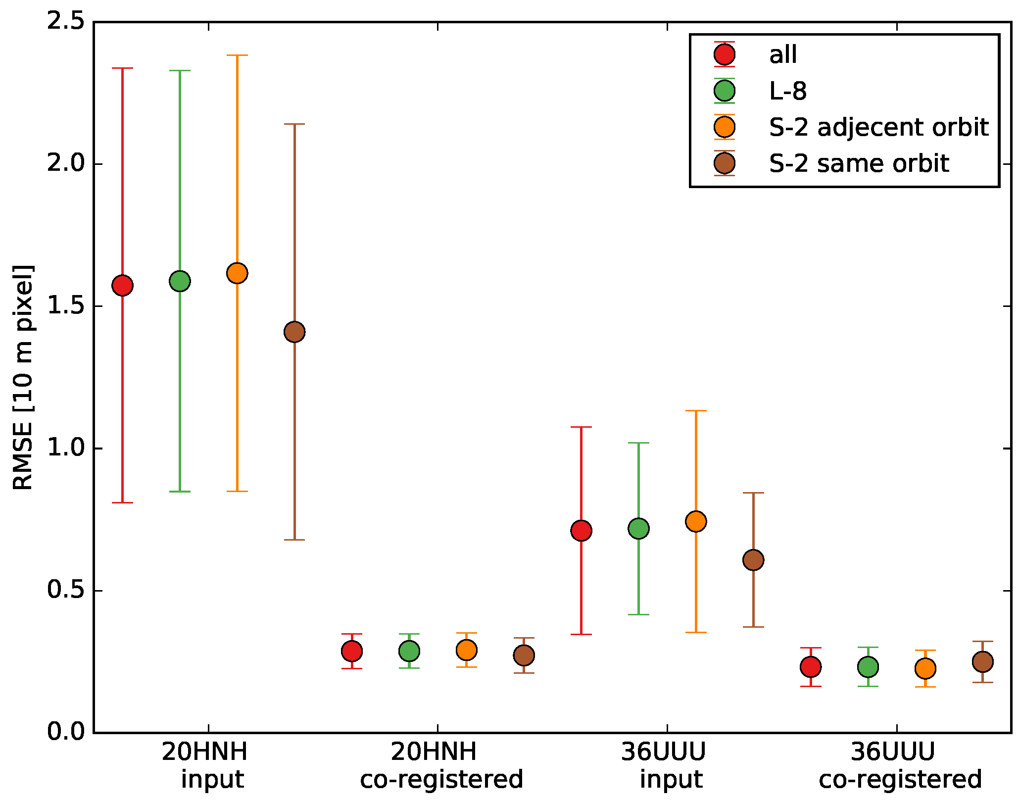
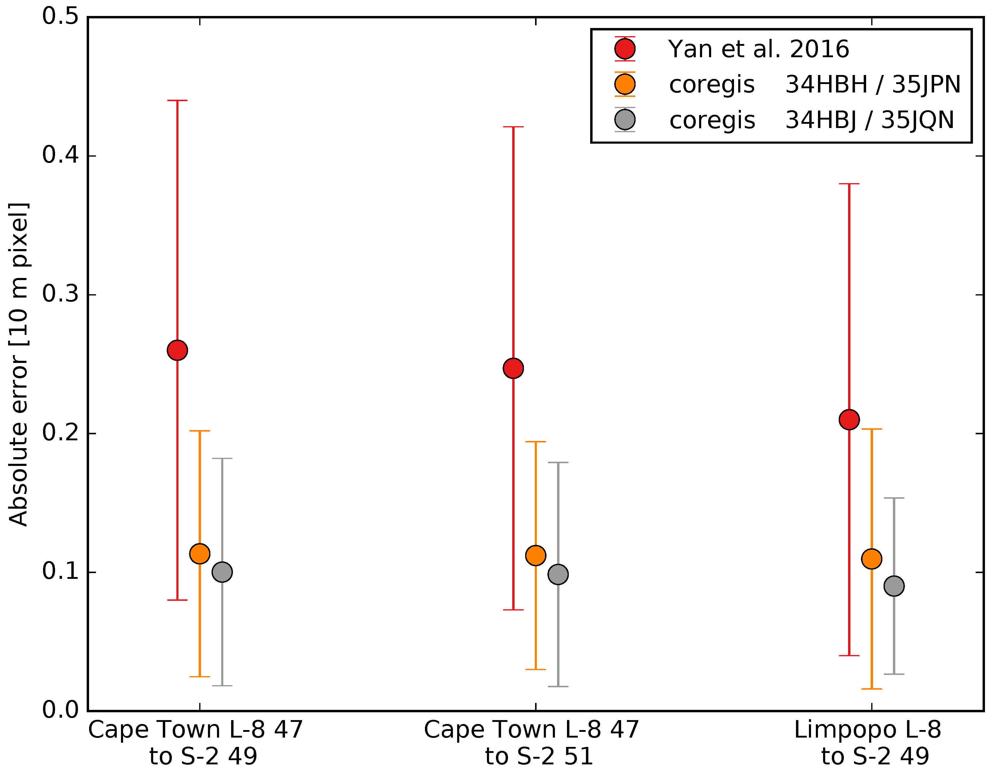
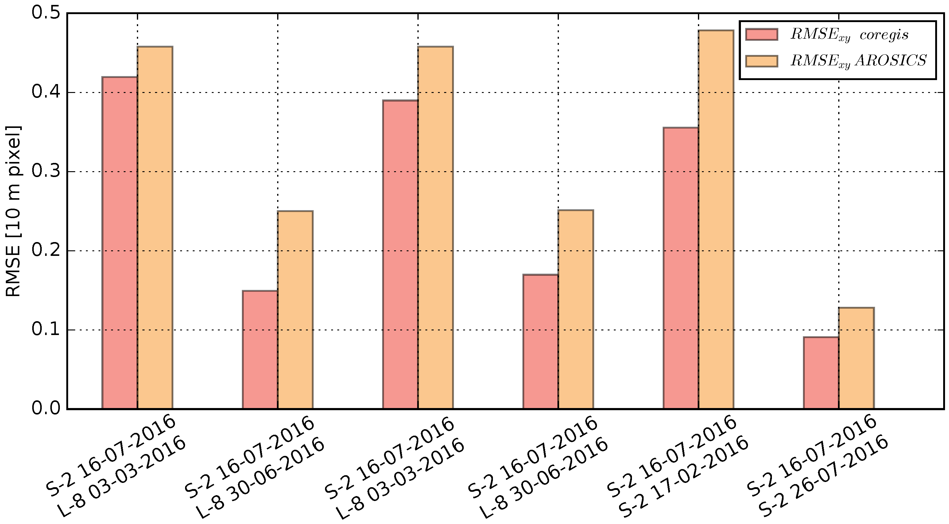
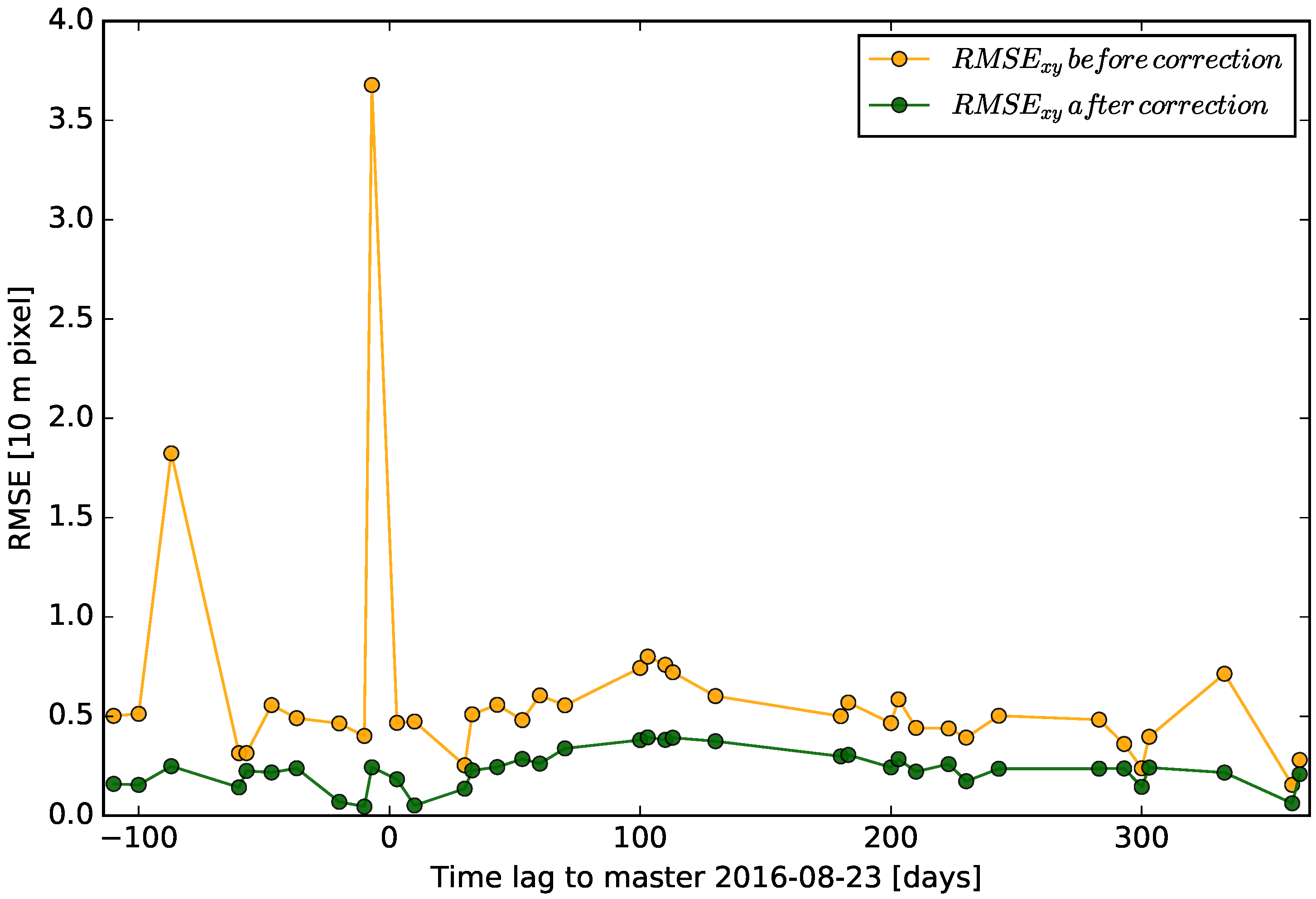
The constellation of Landsat-8 and Sentinel-2 optical satellites offers opportunities for a wide range of Earth Observation (EO) applications and scientific studies in Earth sciences mainly related to geohazards. The multi-temporal co-registration accuracy of images provided by both missions is, however, currently not fully satisfactory for change detection, time-series analysis and in particular Earth surface motion measurements. The objective of this work is the development, implementation and test of an automatic processing chain for correcting co-registration artefacts targeting accurate alignment of Sentinel-2 and Landsat-8 imagery for time series analysis. The method relies on dense sub-pixel offset measurements and robust statistics to correct for systematic offsets and striping artefacts. Experimental evaluation at sites with diverse environmental settings is conducted to evaluate the efficiency of the processing chain in comparison with previously proposed routines. The experimental evaluation suggests lower residual offsets than existing methods ranging between R M S E x y = 2.30 and 2.91 m remaining stable for longer time series. A first case study demonstrates the utility of the processor for the monitoring of continuously active landslides. A second case study demonstrates the use of the processor for measuring co-seismic surface displacements indicating an accuracy of 1/5 th of a pixel after corrections and 1/10th of a pixel after calibration with ground measurements. The implemented processing chain is available as an open source tool to support a better exploitation of the growing archives of Sentinel-2 and Landsat-8.
Keywords: image correlation; coregistration; surface displacement; Sentinel-2; Landsat-8; landslide; earthquakes; co-seismic slip image correlation; coregistration; surface displacement; Sentinel-2; Landsat-8; landslide; earthquakes; co-seismic slip
Graphical Abstract