Article

Urban–Rural Boundary Delineation Based on Population Spatialization: A Case Study of Guizhou Province, China

1
Faculty of Resources and Environmental Science, Hubei University, Wuhan 430062, China
2
Hubei Key Laboratory of Regional Development and Environmental Response, Wuhan 430062, China
*
Author to whom correspondence should be addressed.
Sustainability 2024, 16(5), 1787; https://doi.org/10.3390/su16051787
Submission received: 21 December 2023 / Revised: 17 February 2024 / Accepted: 19 February 2024 / Published: 22 February 2024
(This article belongs to the Section Sustainable Urban and Rural Development)

Abstract

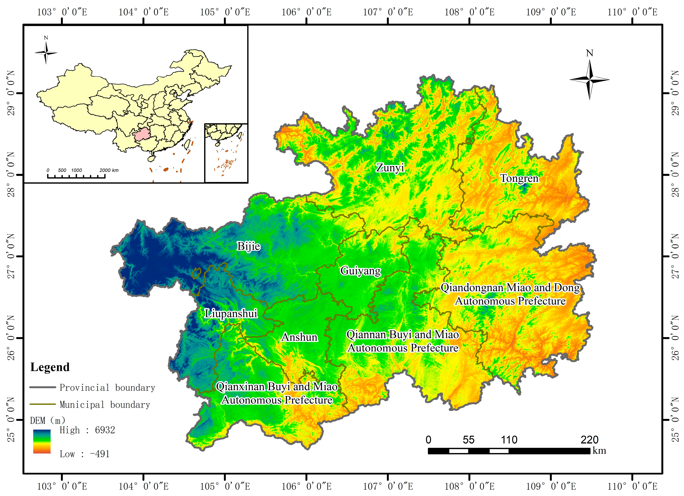
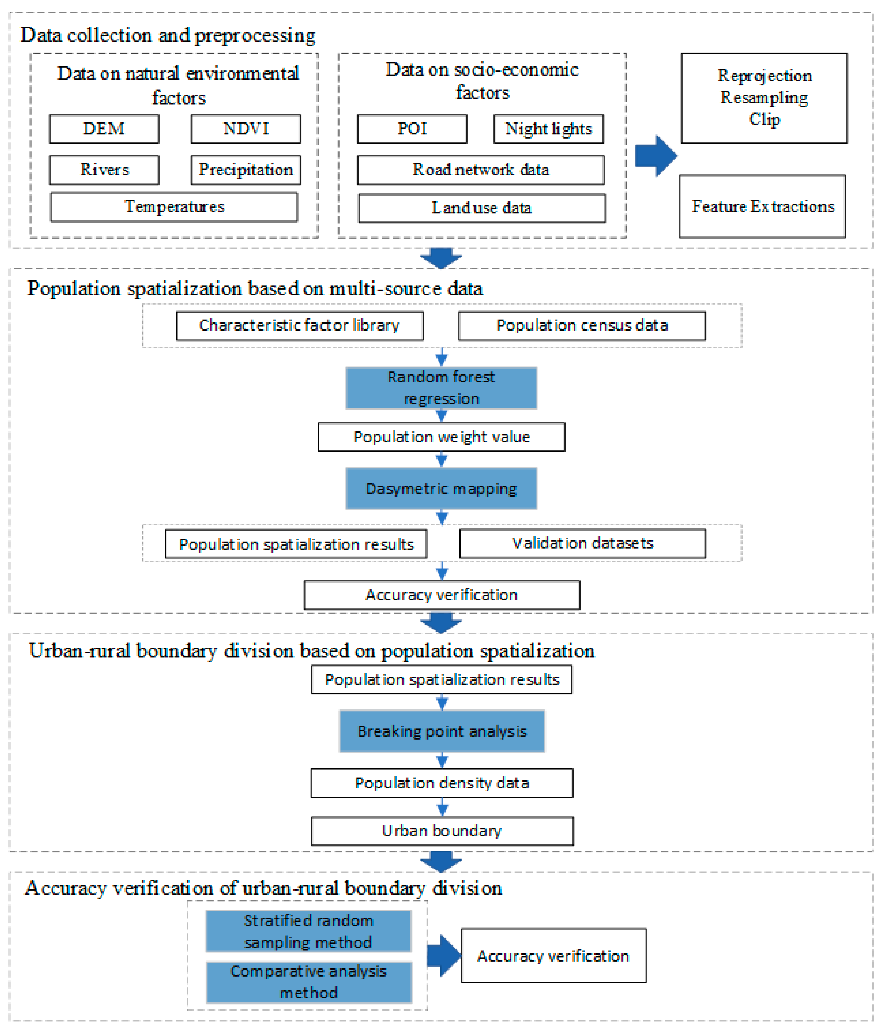
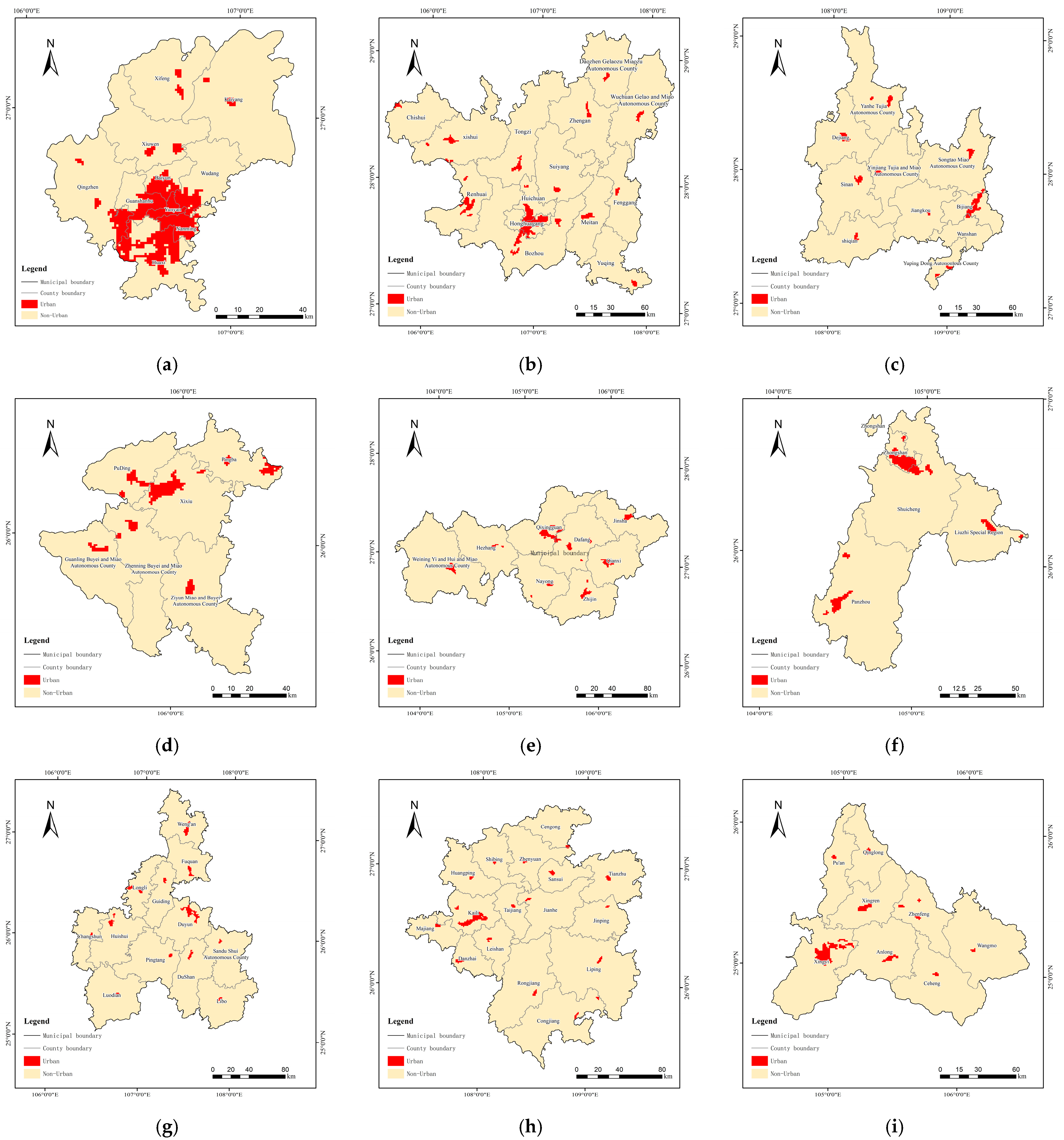
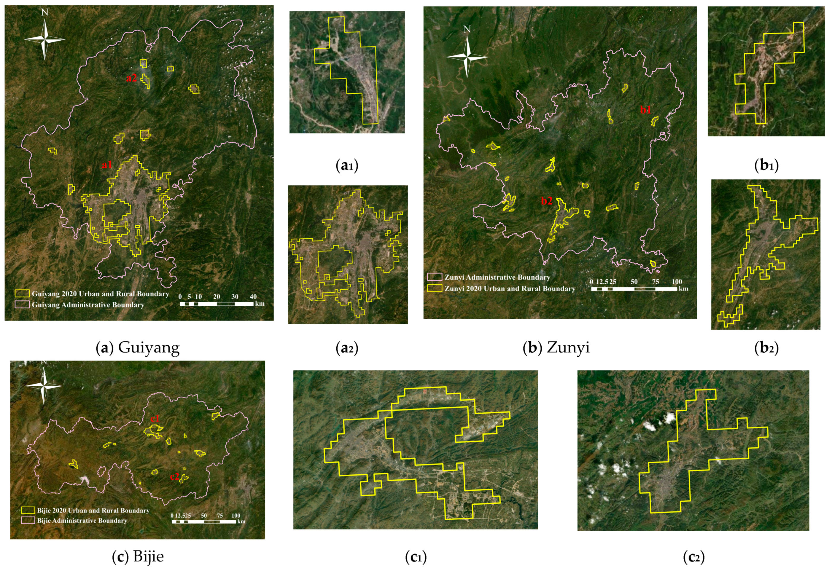
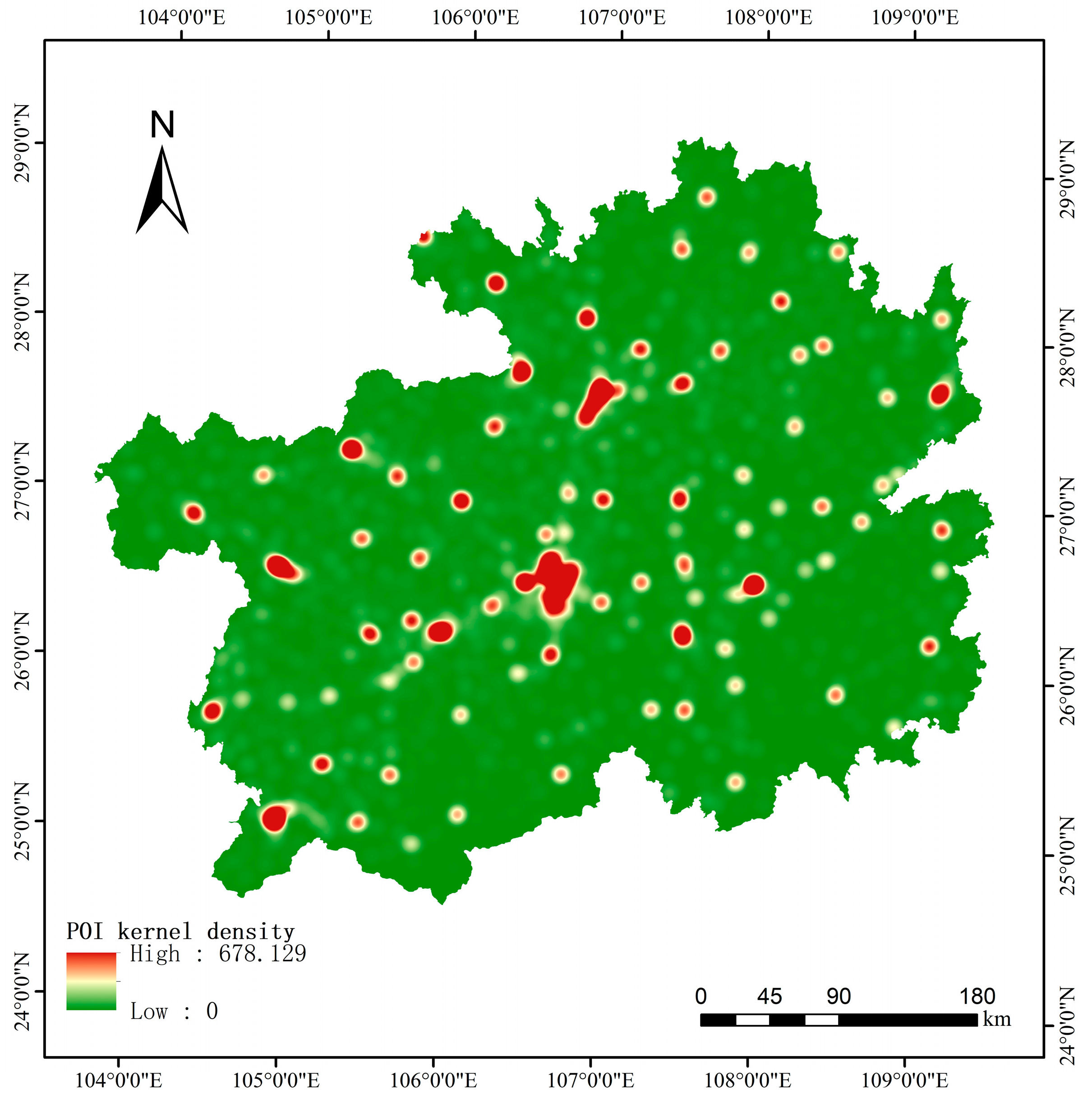
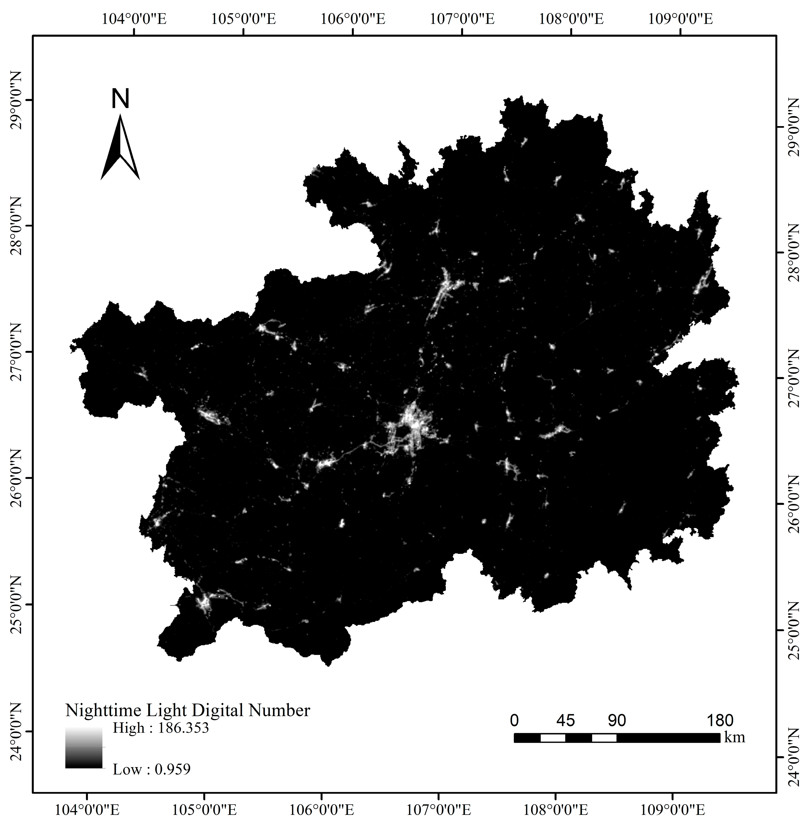
Rational delineation of urban–rural boundaries is a foundational prerequisite for holistic urban and rural development planning and rational resource allocation. However, using a single data source for urban–rural boundaries yields non-comprehensive results. To address this problem, the present study proposes a method for extracting urban–rural boundaries using multiple sources such as population data, nighttime light data, land use, and points of interest (POI) data. Considering Guizhou Province for a case study, this study presents a two-step method for identifying urban–rural boundaries. First, the random forest model was combined with the dasymetric mapping method to obtain the province’s population spatialization data with a 30-m resolution. Second, based on the spatialized population, the urban–rural boundary for Guizhou Province in 2020 was extracted using the breaking point method. This method comprehensively integrated the benefits of various data and judiciously extracted the boundaries of the main urban areas and small and medium-sized towns of each city in the study province at the same spatial scale. The stratified random sampling method revealed an average overall accuracy of 88.05%. The proposed method has high universality and application value and can be useful for accurate and practical identification of urban–rural boundaries.
Keywords: urban–rural boundary demarcation; population spatialization; dasymetric mapping; breaking point urban–rural boundary demarcation; population spatialization; dasymetric mapping; breaking point