Article

A WebGIS for Visualizing Historical Activities Based on Photos: The Project of Yunnan–Vietnam Railway Web Map


Department of Historical and Geographical Sciences and the Ancient World, University of Padua, 35141 Padova, Italy
*
Author to whom correspondence should be addressed.
Sustainability 2021, 13(1), 419; https://doi.org/10.3390/su13010419
Submission received: 8 December 2020 / Revised: 30 December 2020 / Accepted: 30 December 2020 / Published: 5 January 2021
(This article belongs to the Special Issue Remote Sensing for Archaeology and Cultural Landscapes)

Abstract

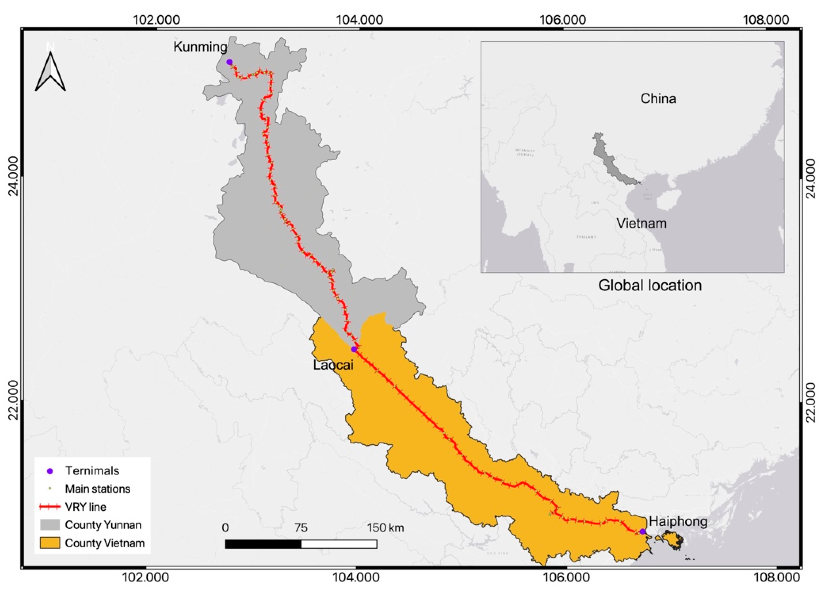
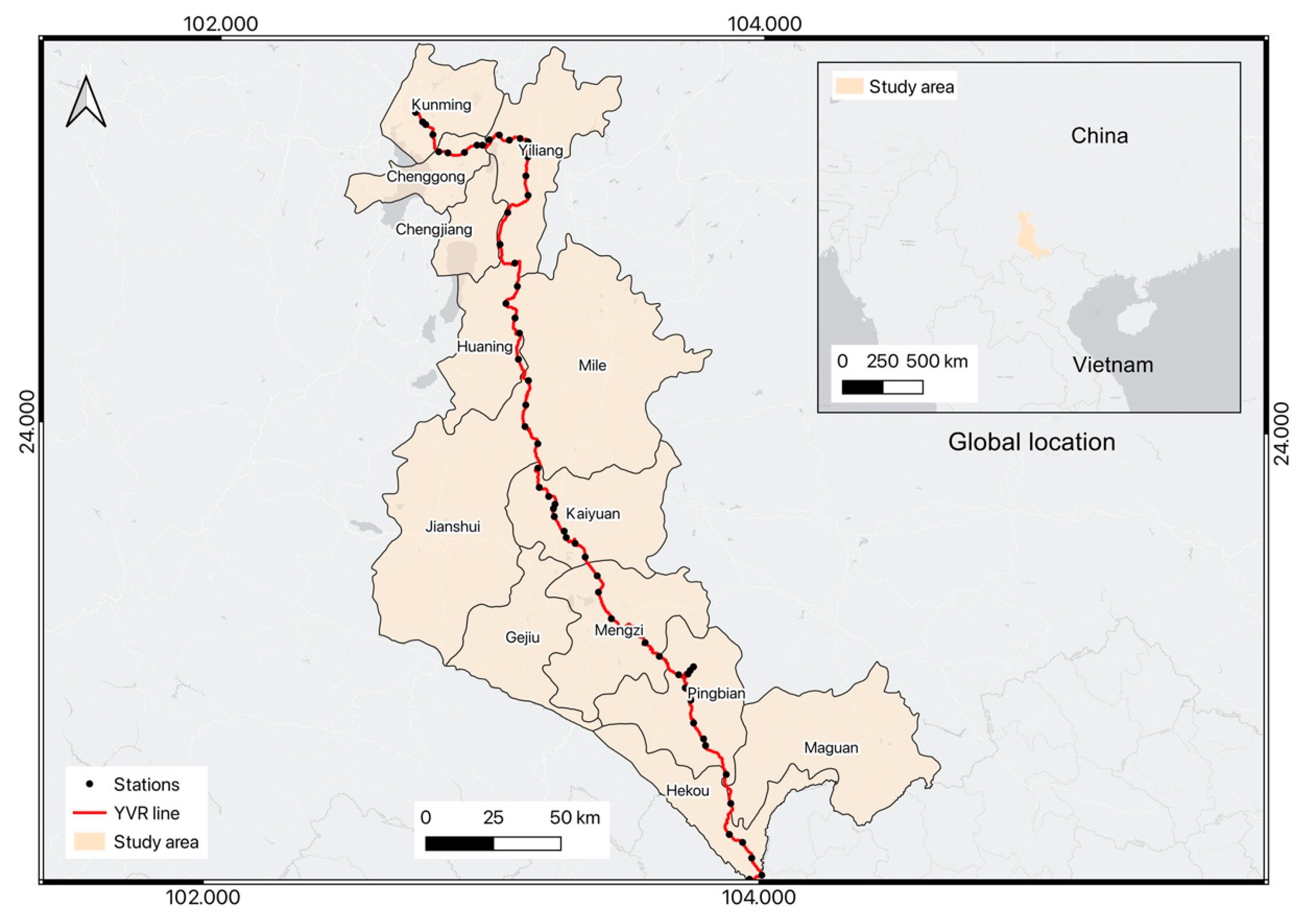
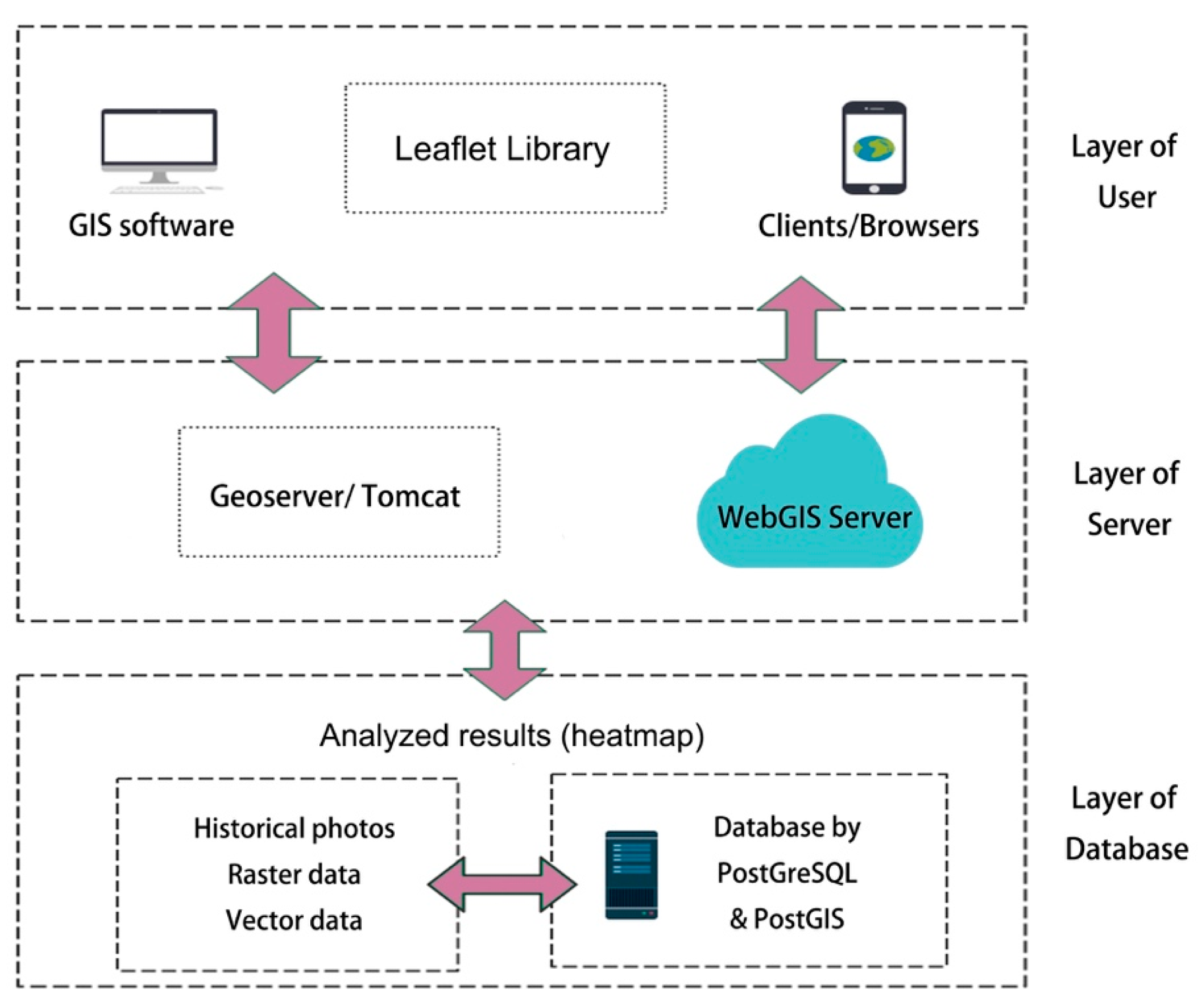
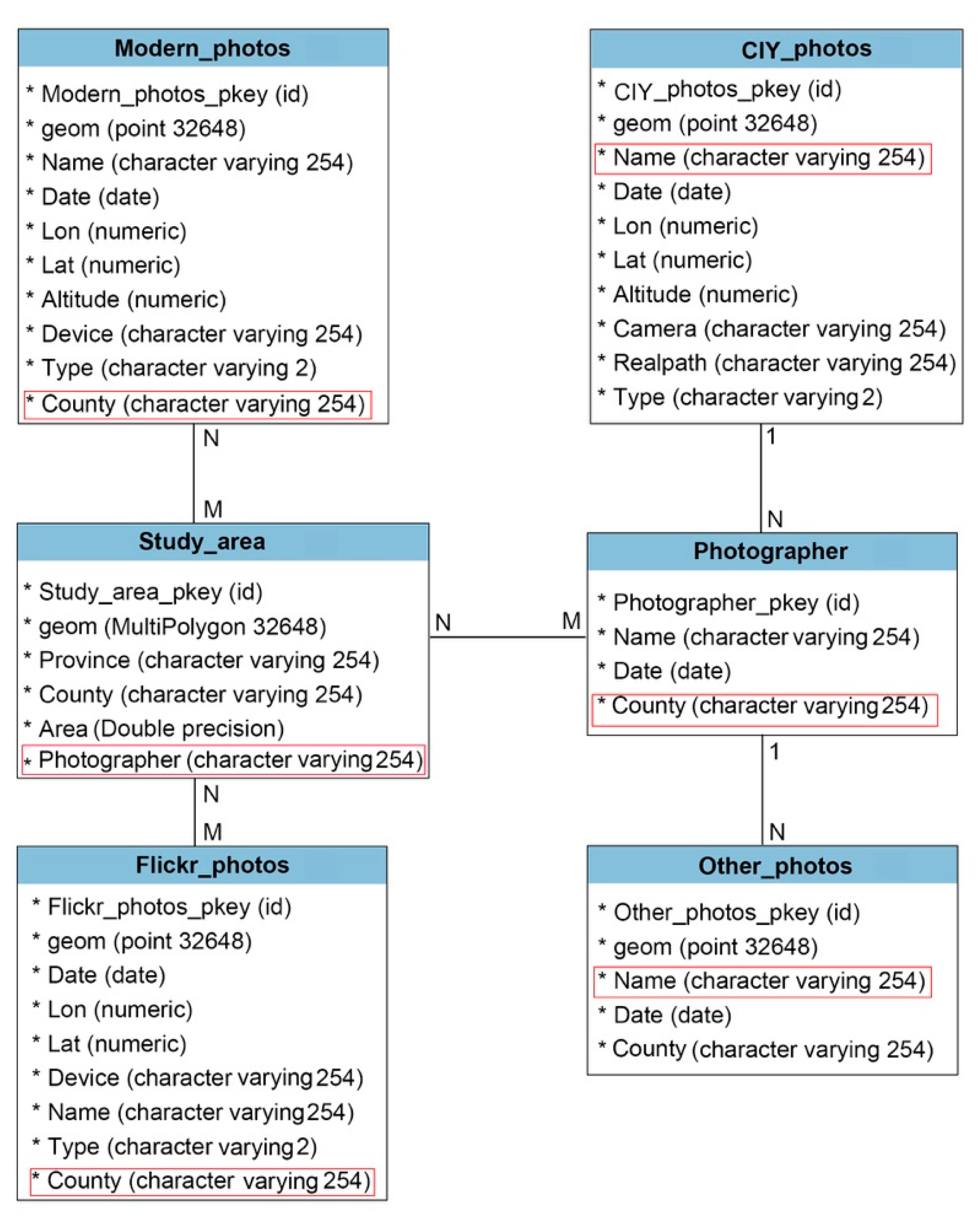
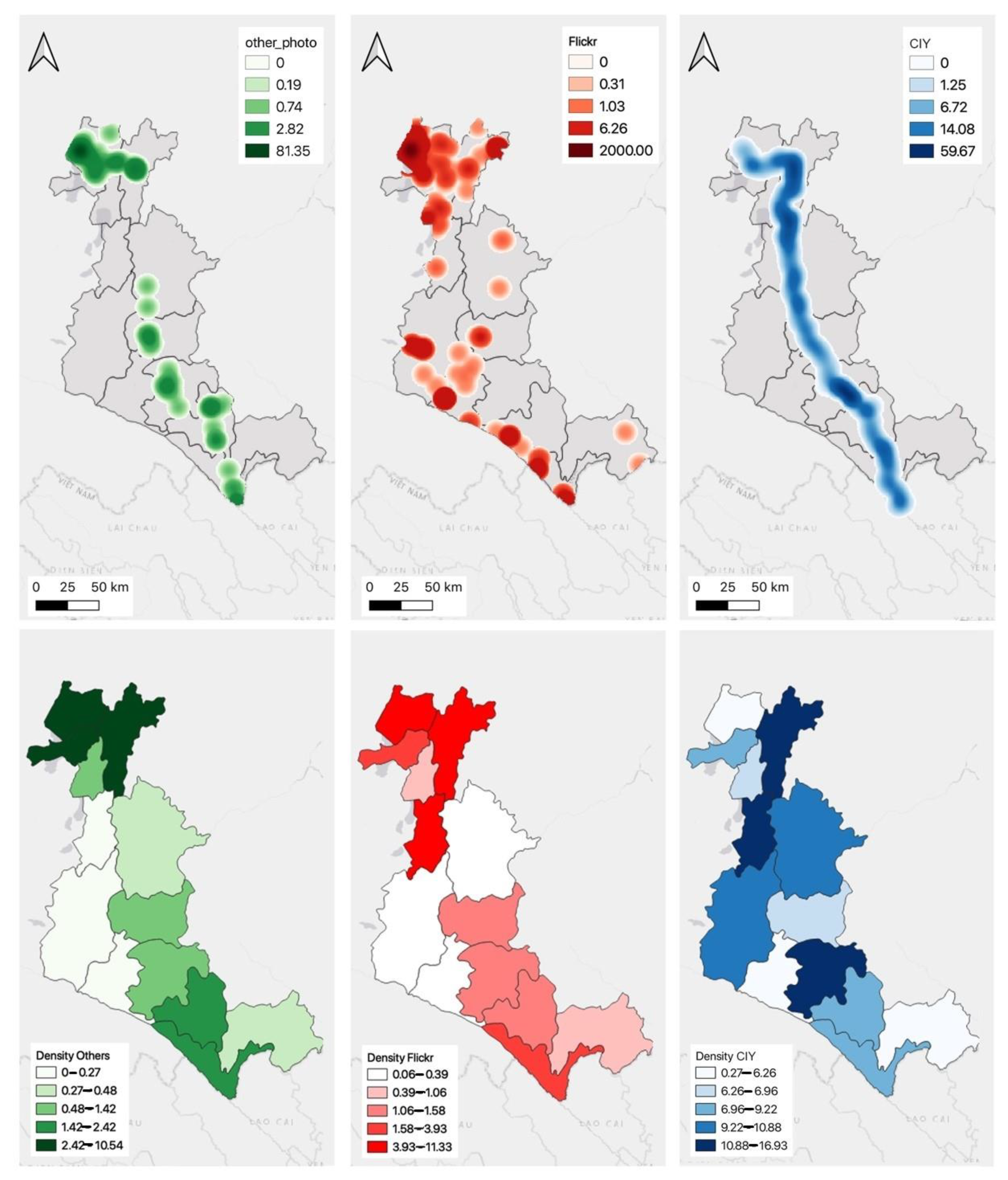
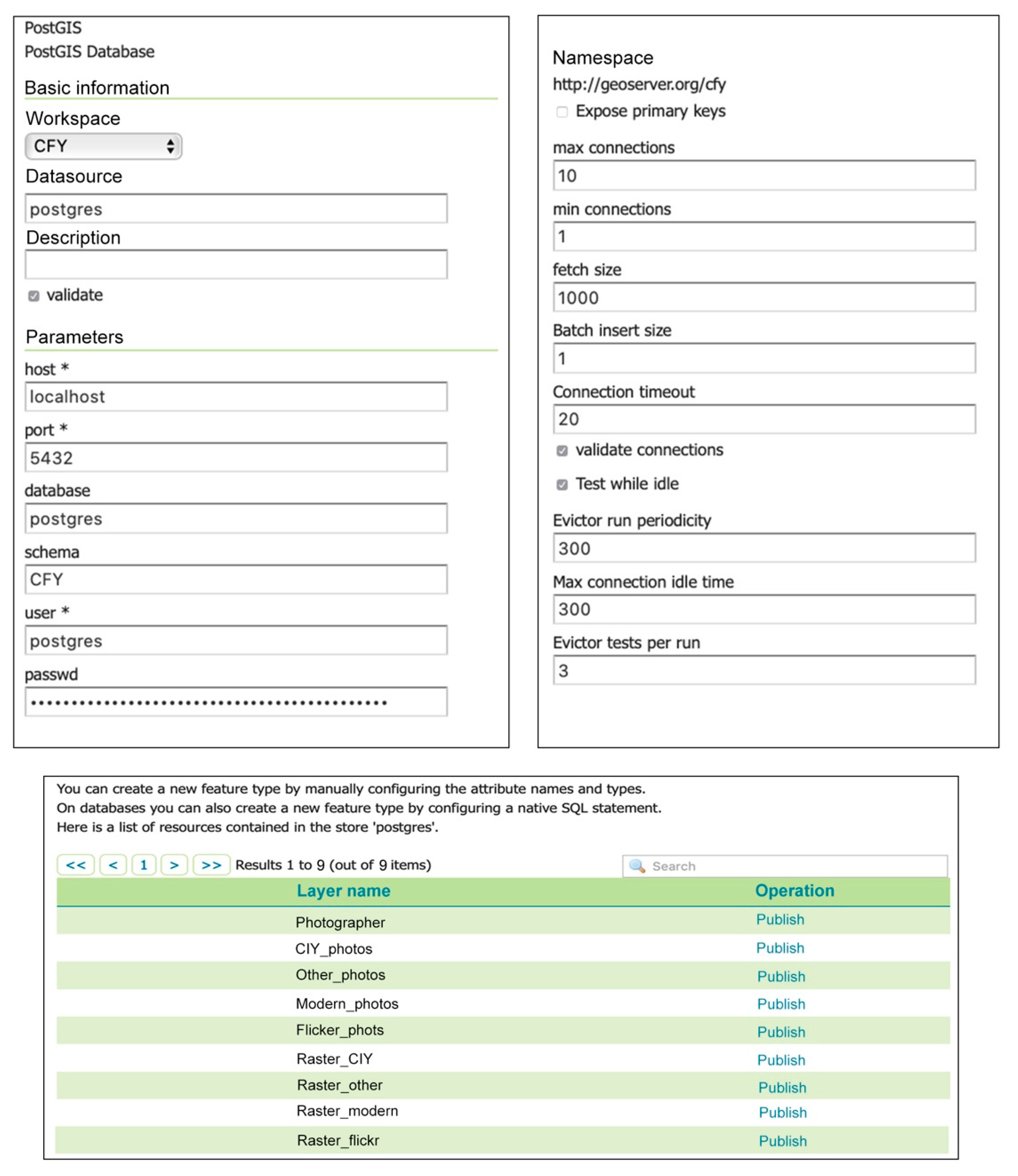
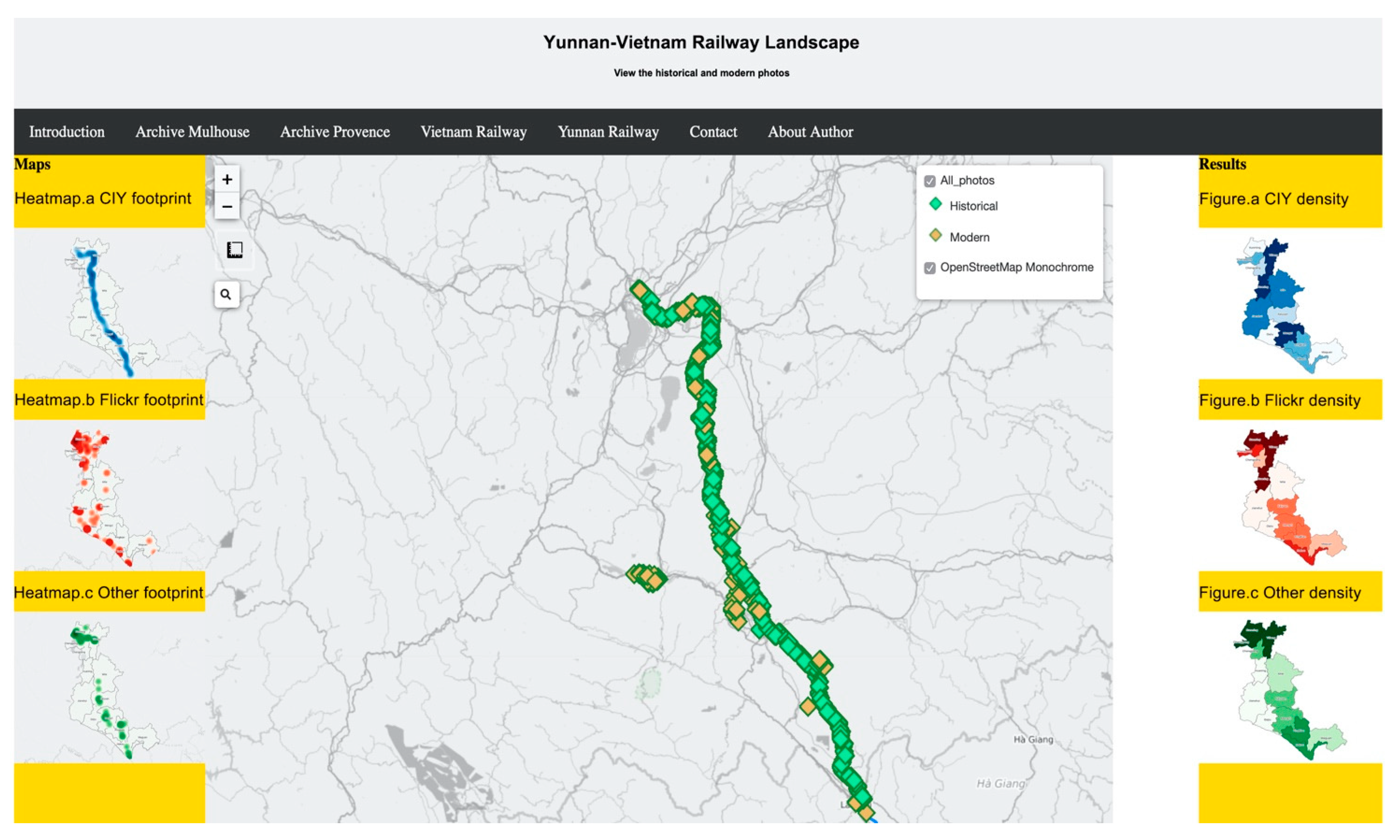
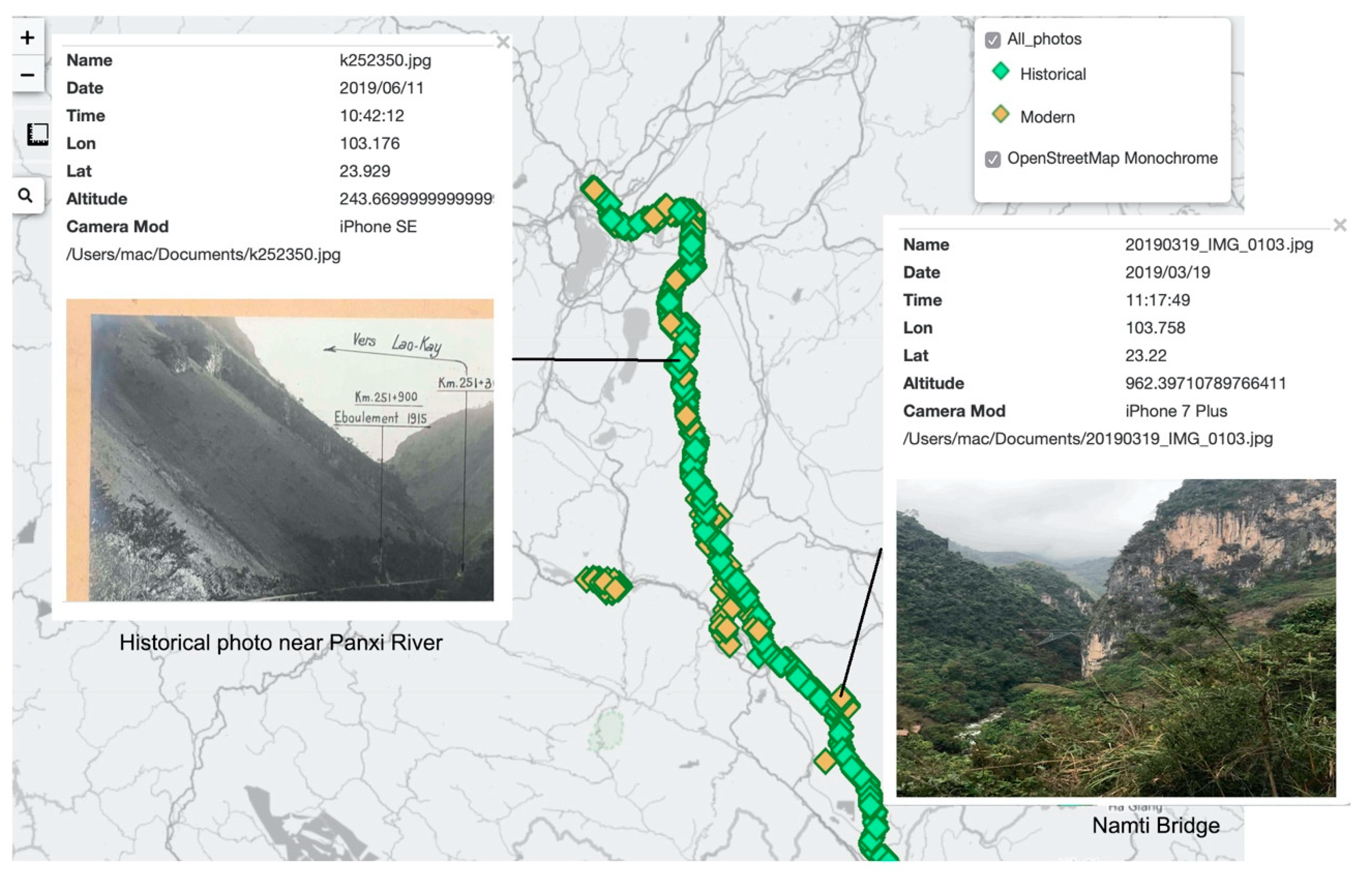
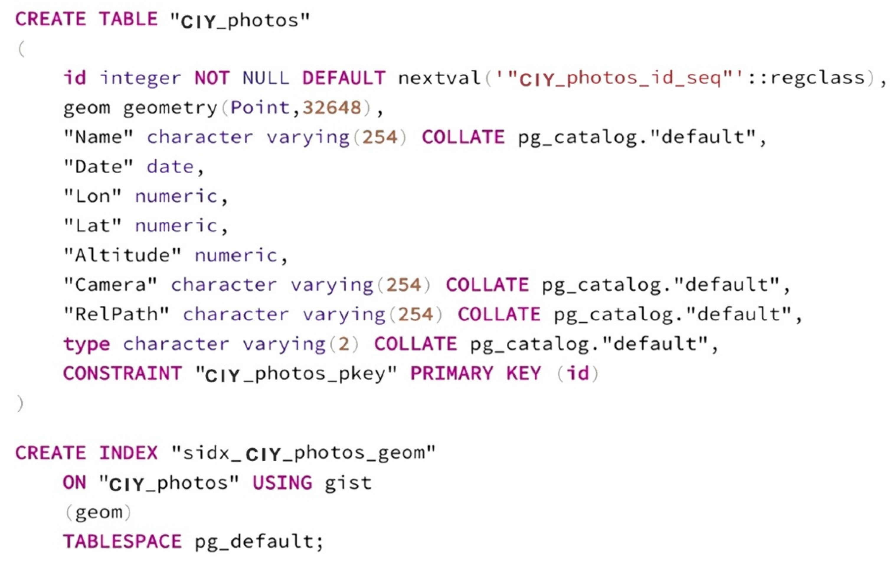
Historical photos have significance for historical and social studies. Especially, the introduction of Geographic Information System (GIS) and digitalized historical photos have brought more opportunities and possibilities for interdisciplinary studies and the convenience for normal citizens to participate in the landscape observation. To this aim, this paper first reviews the research related to historical photos and Open GIS, and points out the meaning of historical photos for the Yunnan–Vietnam Railway (YVR). Based on the collected data of original historical photos from archives and the fieldwork data that recorded the landscape along the railway from 2018 to 2019, a WebGIS of Yunnan–Vietnam Railway is designed and implemented with open GIS tools. All the data are processed in the QGIS as vector and raster layers and loaded in PostgreSQL as relational tables. Then, heatmaps are created indicating the density of historical activities of the railway company, the other historical photographers, and current touristic activities. Connected with the PostgreSQL database, the data are uploaded to GeoServer for more GIS functionalities. Finally, the whole system lives in a webpage, implemented in HTML and JavaScript with Leaflet, and the improved functionalities of the Yunnan–Vietnam Railway WebGIS include distance measuring, search engine, and historical information browsing. In the future, further research can be done focusing on the landscape changes along the railway and public participation during the landscape observation.
Keywords: historical photos; WebGIS; open GIS; Yunnan–Vietnam railway historical photos; WebGIS; open GIS; Yunnan–Vietnam railway