Article

Fine-Scale Spatiotemporal Analysis of Population Vulnerability to Earthquake Disasters: Theoretical Models and Application to Cities


1
Department of Geography & Spatial Information Techniques, Ningbo University-University of Angers, Joint Institute at Ningbo, Ningbo University, Ningbo 315211, China
2
Key Laboratory of Regional Sustainable Development Modeling, Institute of Geographic Sciences and Natural Resources Research, Chinese Academy of Sciences, Beijing 100101, China
*
Author to whom correspondence should be addressed.
Sustainability 2019, 11(7), 2149; https://doi.org/10.3390/su11072149
Submission received: 13 February 2019 / Revised: 8 April 2019 / Accepted: 8 April 2019 / Published: 11 April 2019

Abstract

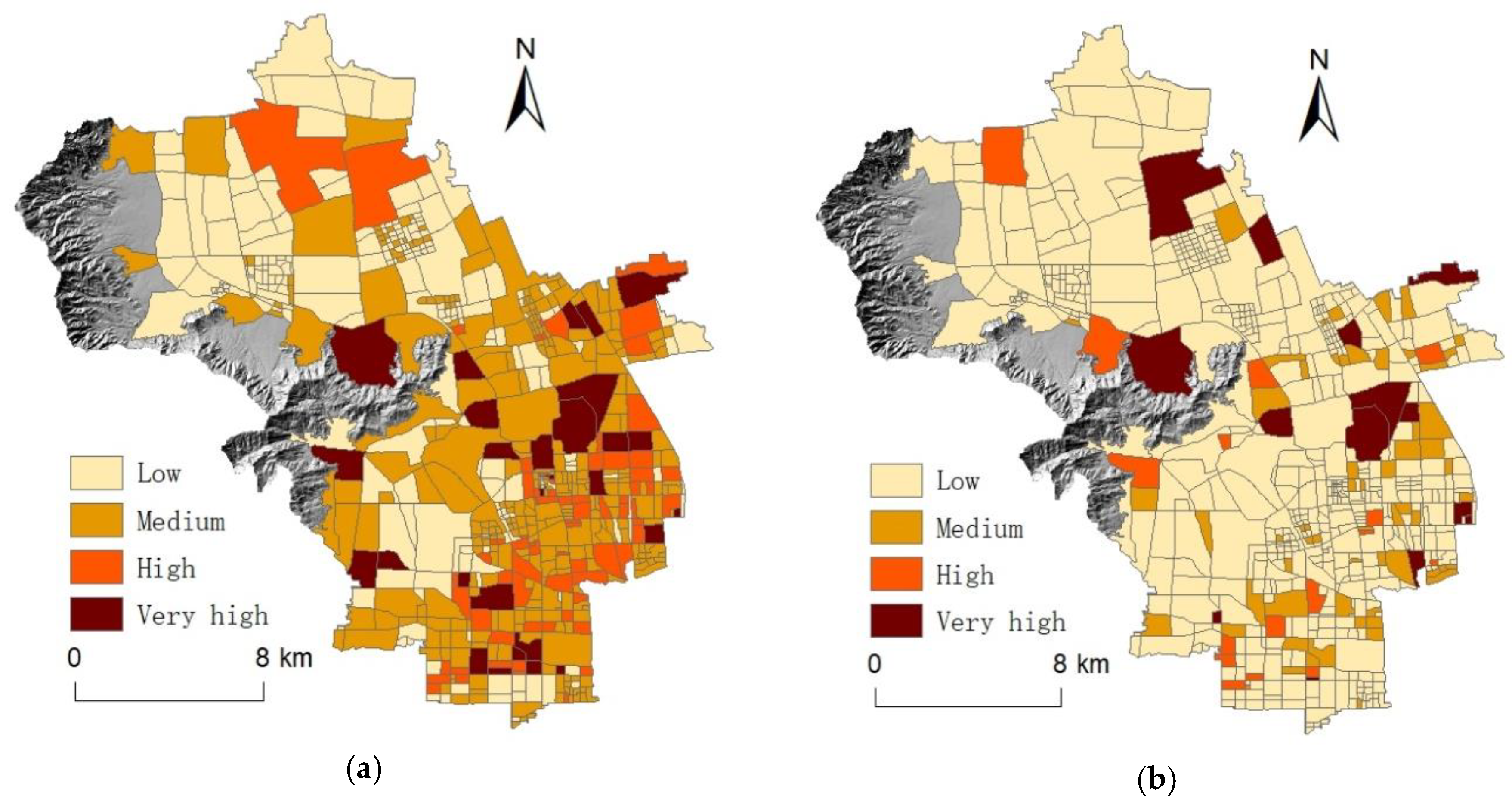
China is particularly vulnerable to earthquakes and has suffered a high number of earthquake casualties. Therefore, it is imperative to develop effective methods for assessing population vulnerability in order to provide practical and useful information for pre-disaster preparedness and emergency management. However, there are many problems with existing approaches to assessing population vulnerability in China. This study developed a method combining dasymetric population mapping with population vulnerability indexing to estimate populations’ vulnerability to earthquakes at block level in daytime and nighttime. The method aims to provide high spatial-temporal resolution information on vulnerable populations and population vulnerability. In a case study of Haidian District in Beijing, we combined our population spatialization model with a population vulnerability assessment model and sensitivity analysis to efficiently identify areas with high population vulnerability, the location of vulnerable populations, and key sensitive factors influencing population vulnerability during daytime and nighttime. This information can be used to identify where and which aspects of pre-disaster mitigation, preparedness, and emergency response activities should be prioritized. It is expected that these methods will be used to analyze vulnerable populations and population vulnerability in other areas of China.
Keywords: population vulnerability; assessment methodology; fine-scale; spatiotemporal analysis; Haidian District of Beijing population vulnerability; assessment methodology; fine-scale; spatiotemporal analysis; Haidian District of Beijing