Article

Detecting Objects in Aerial Imagery Using Drones and a YOLO-C3 Hybrid Approach

Dipartimento di Matematica e Informatica, University of Catania, 95125 Catania, Italy
*
Author to whom correspondence should be addressed.
Future Internet 2026, 18(4), 204; https://doi.org/10.3390/fi18040204
Submission received: 25 January 2026 / Revised: 9 April 2026 / Accepted: 10 April 2026 / Published: 13 April 2026

Abstract

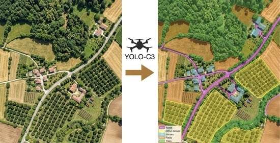
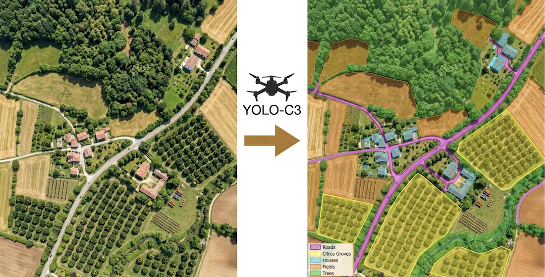
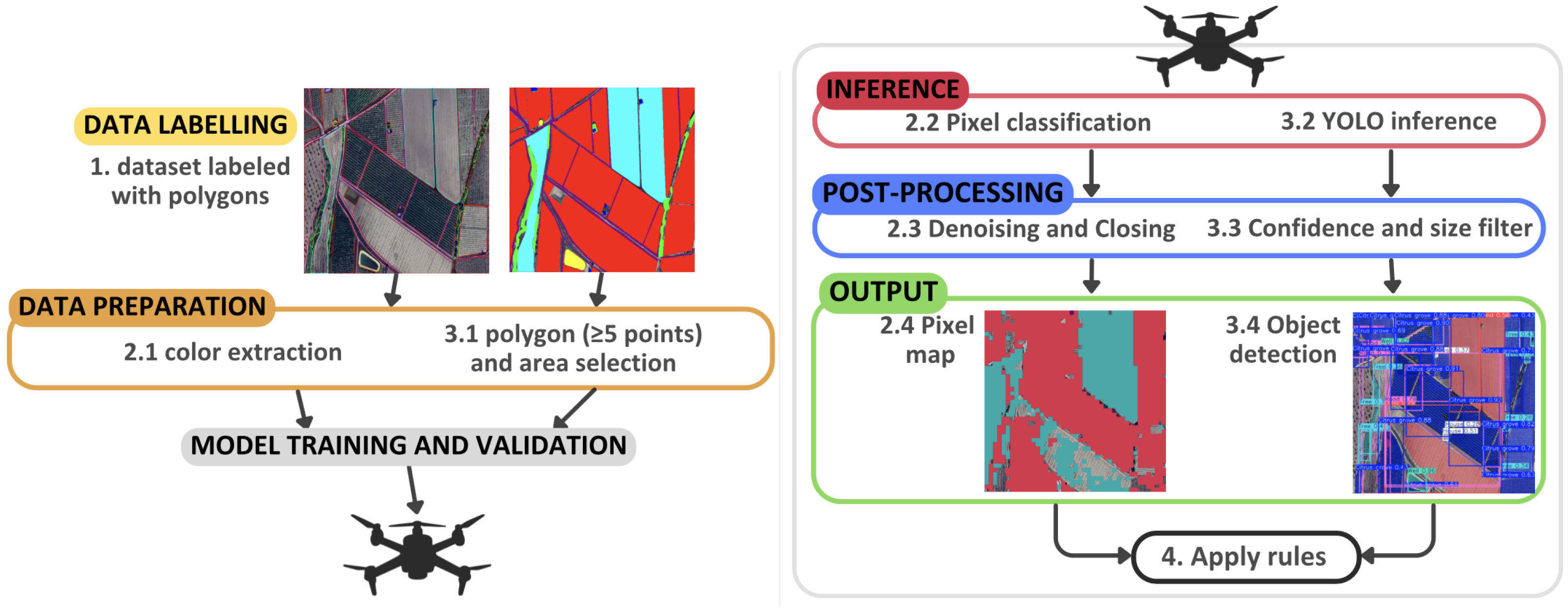
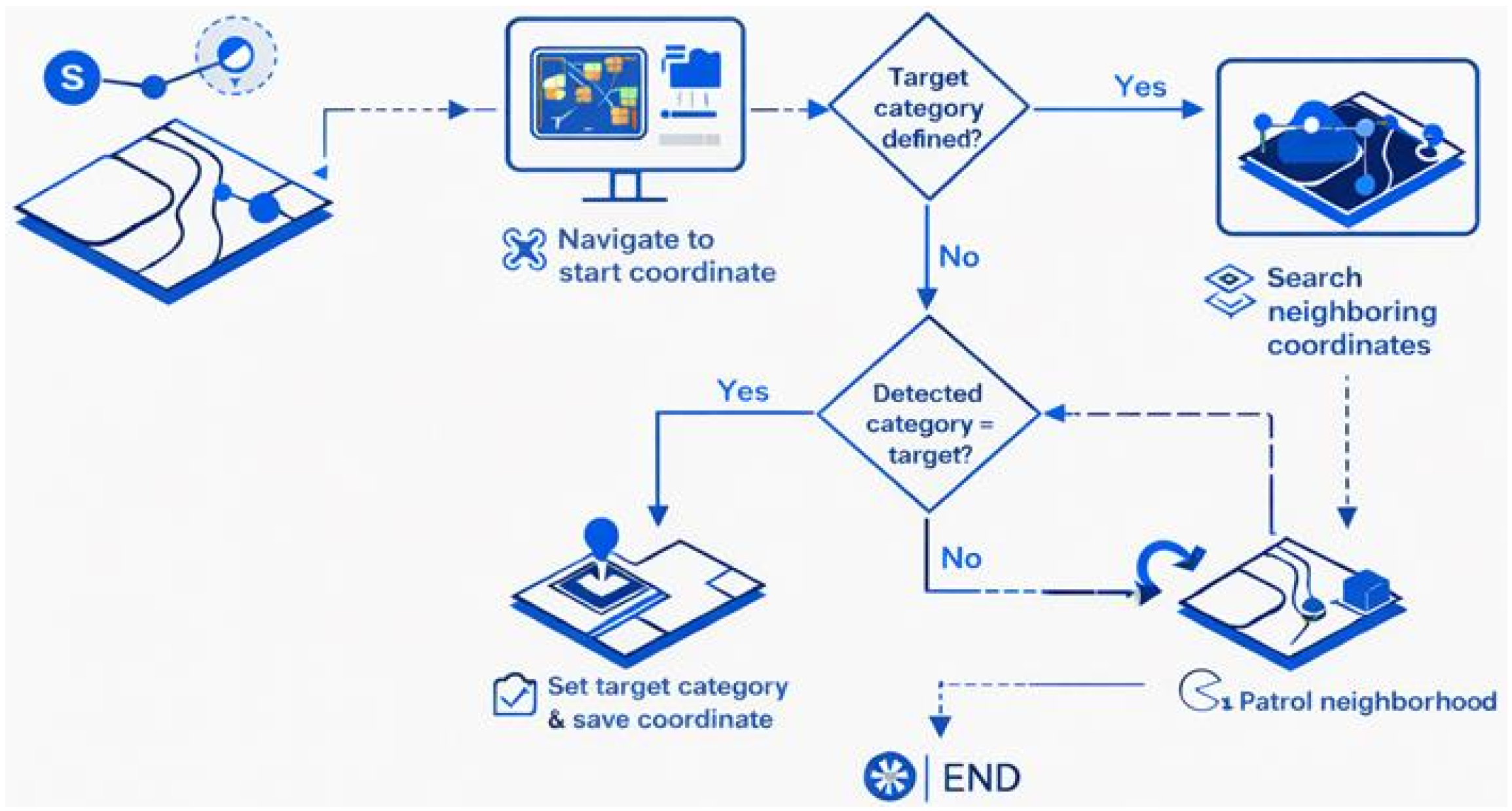
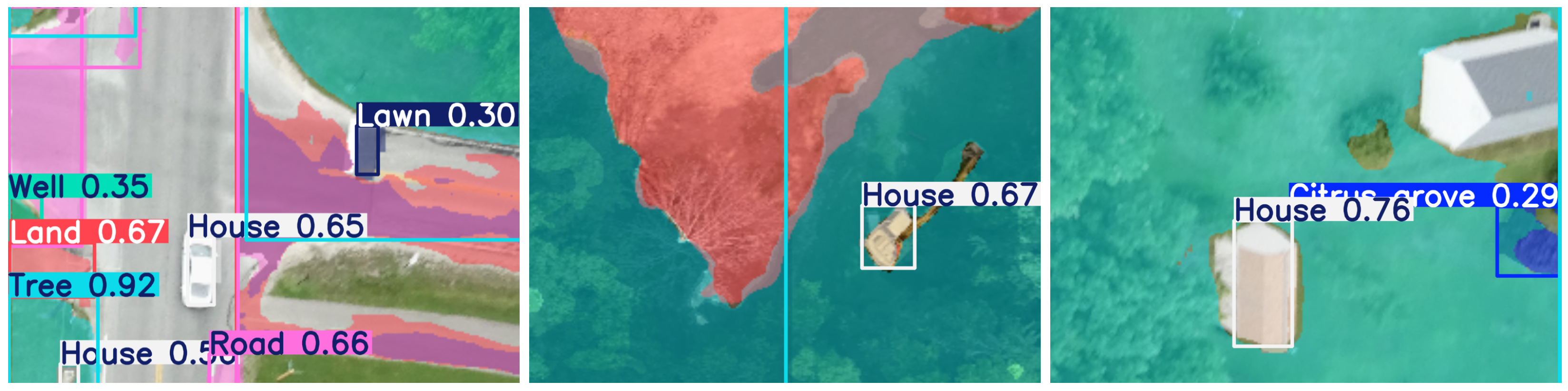
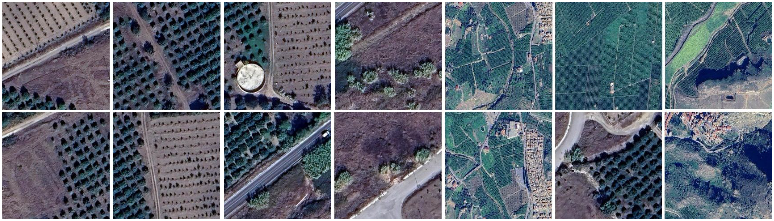
Drones have proven effective for acquiring aerial imagery, and when equipped with onboard analysis tools, they can automatically identify objects of interest. Neural-network methods for image analysis typically require large training datasets and substantial computational resources. By contrast, algorithmic techniques can detect objects using simple features, such as pixel colors, thereby reducing the need for extensive training and computational resources. Once trained, both types of system can analyze images in a short time. In our experiments, each approach has distinct strengths. The YOLO-based detector is more accurate for complex-shaped objects, such as trees, whereas the pixel-color approach performs better on sparser objects. This paper proposes YOLO-C3, a hybrid system designed for onboard drone image processing. By leveraging the strengths of both YOLO-based and pixel-based approaches, YOLO-C3 balances detection accuracy with estimation confidence. Trained on Mediterranean imagery dataset, the system is optimized for identifying natural objects, including citrus groves and trees. To assess the robustness of the image classifier, a K-fold cross-validation is performed. Compared to existing models, YOLO-C3 detects a wider range of natural objects with high accuracy and minimal latency, achieving a processing speed of 0.01 s per image. By performing object detection locally, drones can adapt their trajectories to support emergency response, helping to map safe corridors and locate buildings where people may be awaiting rescue after a natural disaster.
Keywords: drones; rescue operations; aerial images; land use/land cover; remote sensing; YOLO; object detection; pixel-based algorithms drones; rescue operations; aerial images; land use/land cover; remote sensing; YOLO; object detection; pixel-based algorithms
Graphical Abstract