Article

An Innovative Approach to Surface Deformation Estimation in Forest Road and Trail Networks Using Unmanned Aerial Vehicle Real-Time Kinematic-Derived Data for Monitoring and Maintenance


by
Evangelia Siafali
1 and
Petros A. Tsioras
2,*
1
Laboratory of Forest Engineering and Topography, School of Forestry and Natural Environment, Aristotle University of Thessaloniki, 541 24 Thessaloniki, Greece
2
Laboratory of Forest Utilization, School of Forestry and Natural Environment, Aristotle University of Thessaloniki, 541 24 Thessaloniki, Greece
*
Author to whom correspondence should be addressed.
Forests 2024, 15(1), 212; https://doi.org/10.3390/f15010212
Submission received: 7 December 2023 / Revised: 17 January 2024 / Accepted: 18 January 2024 / Published: 21 January 2024
(This article belongs to the Special Issue Forest Harvesting and Forest Product Supply Chain)

Abstract

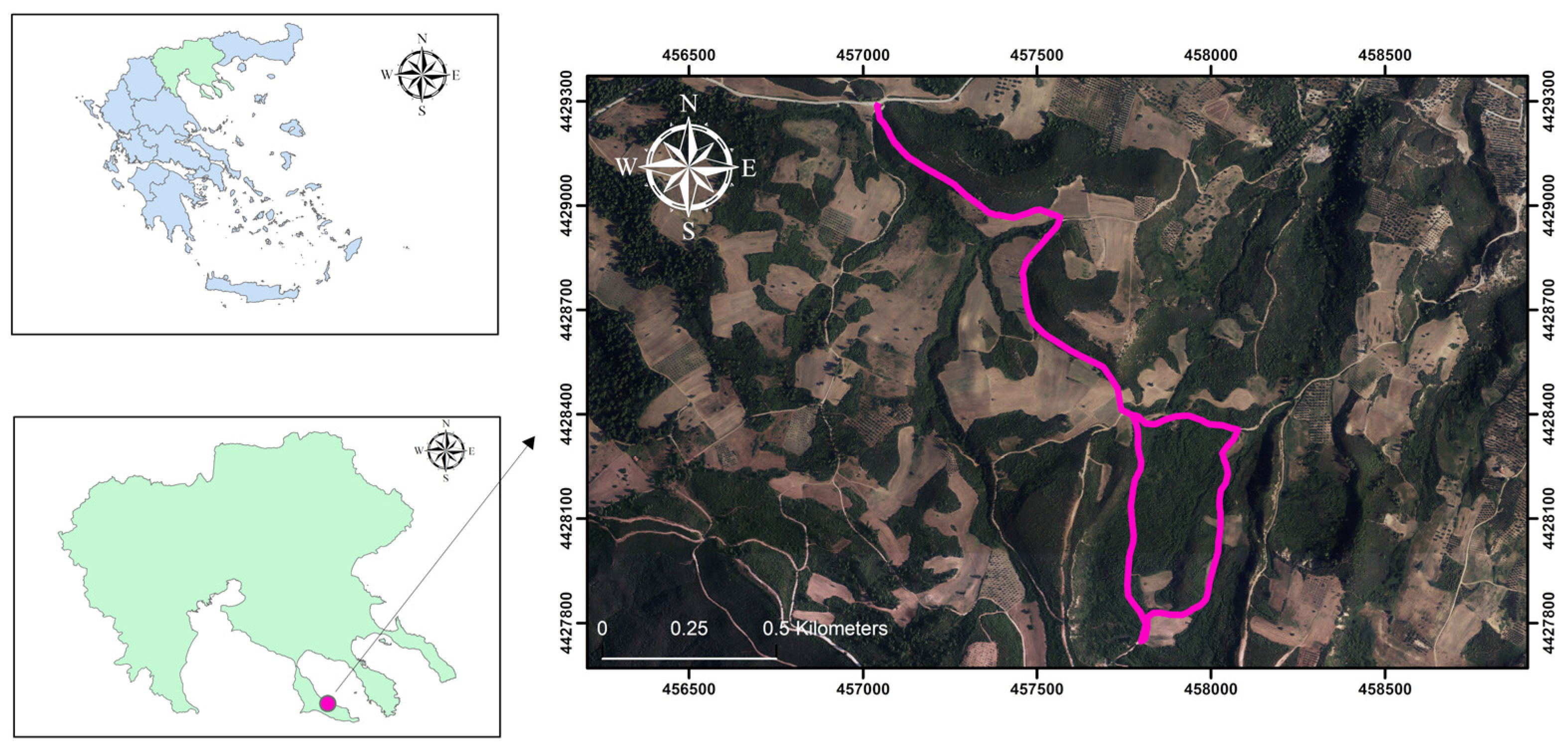
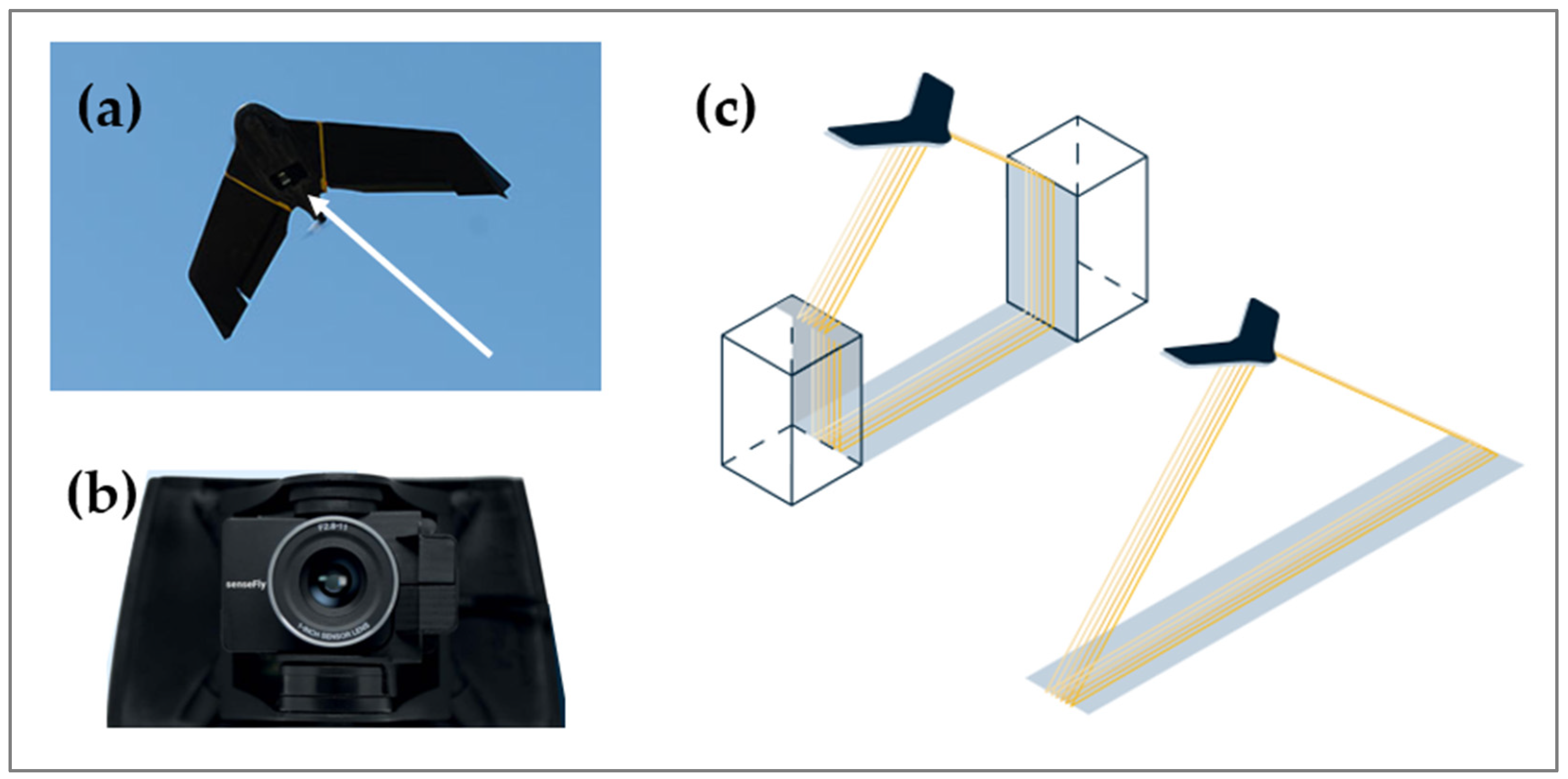
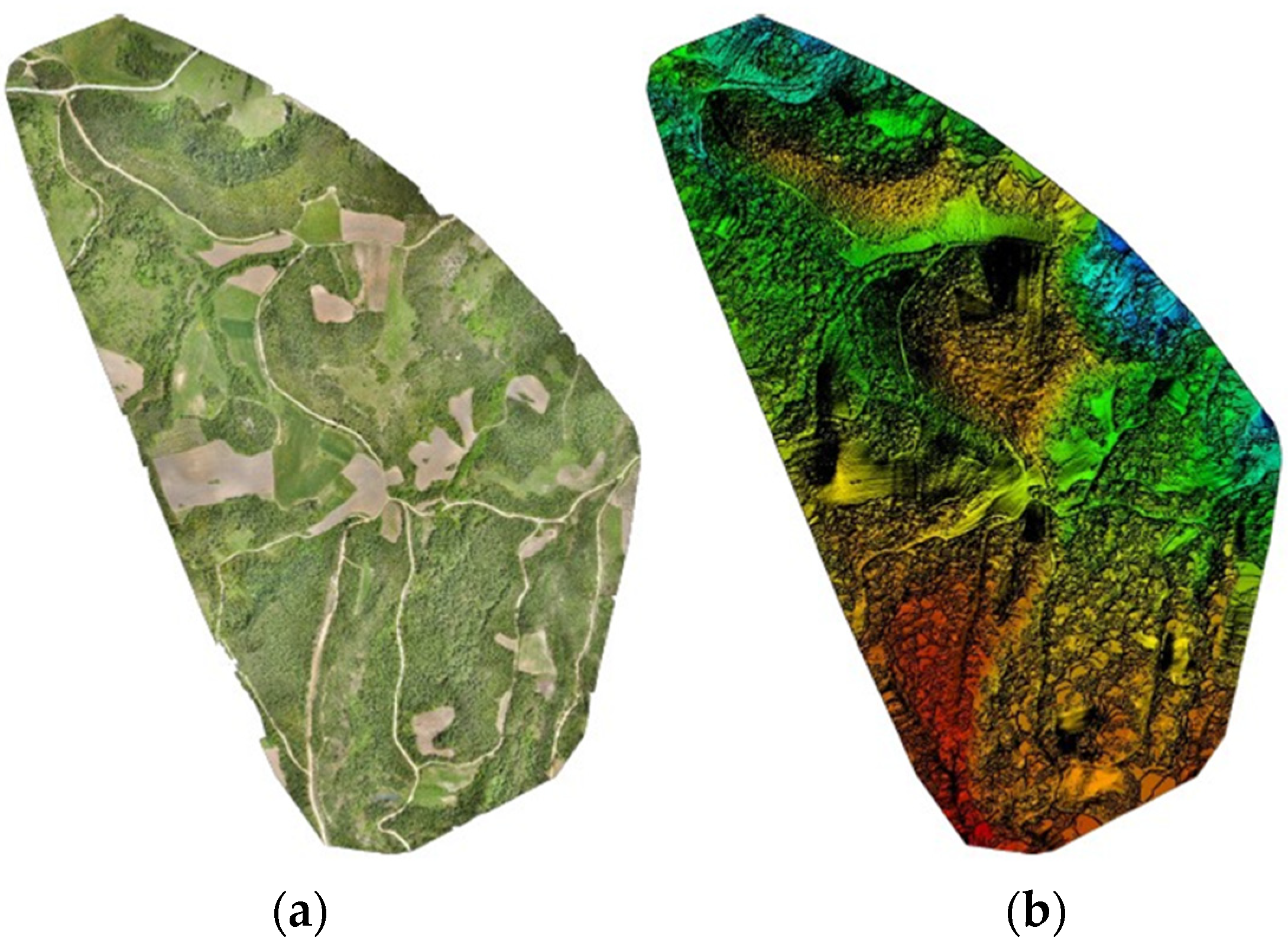
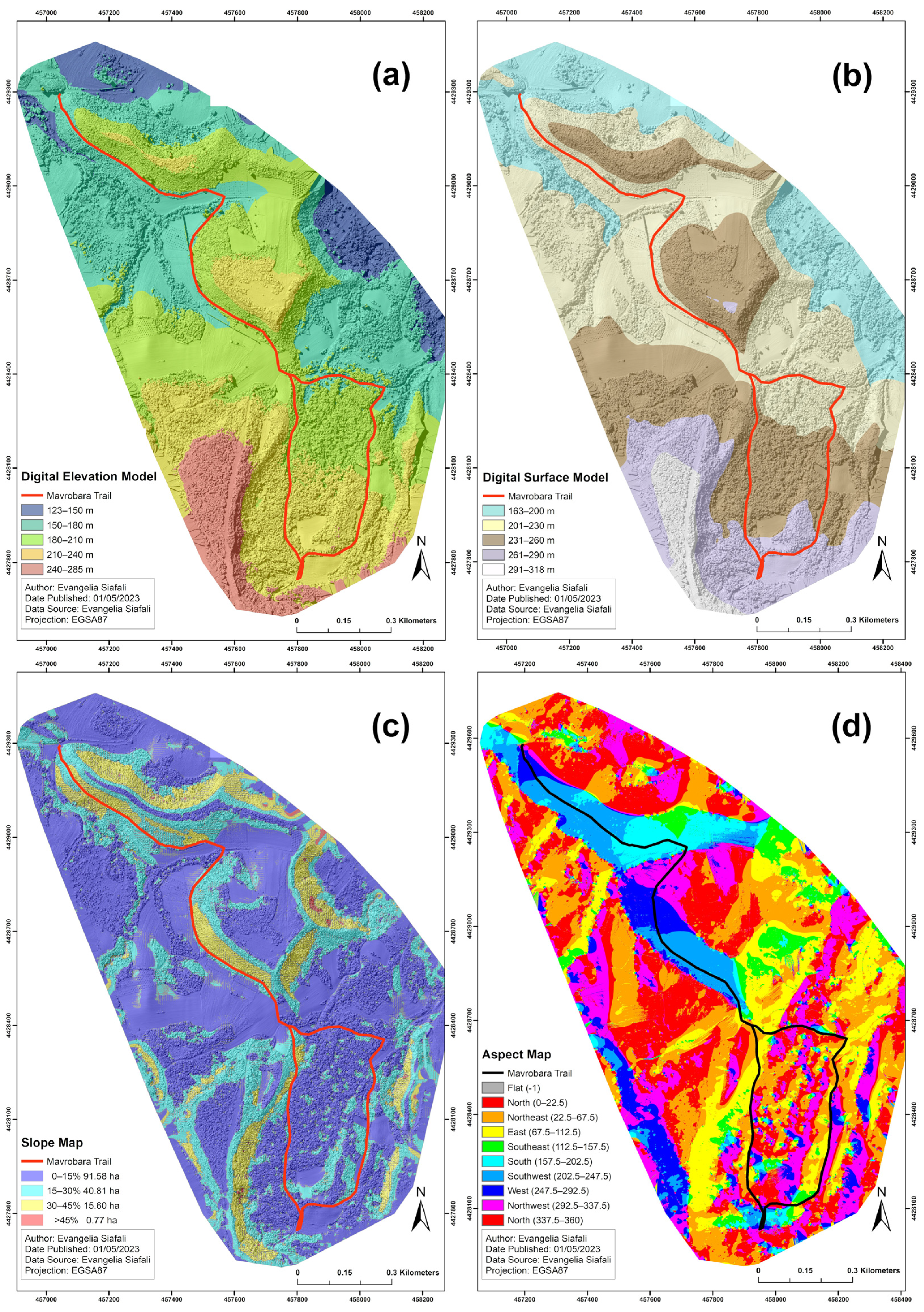
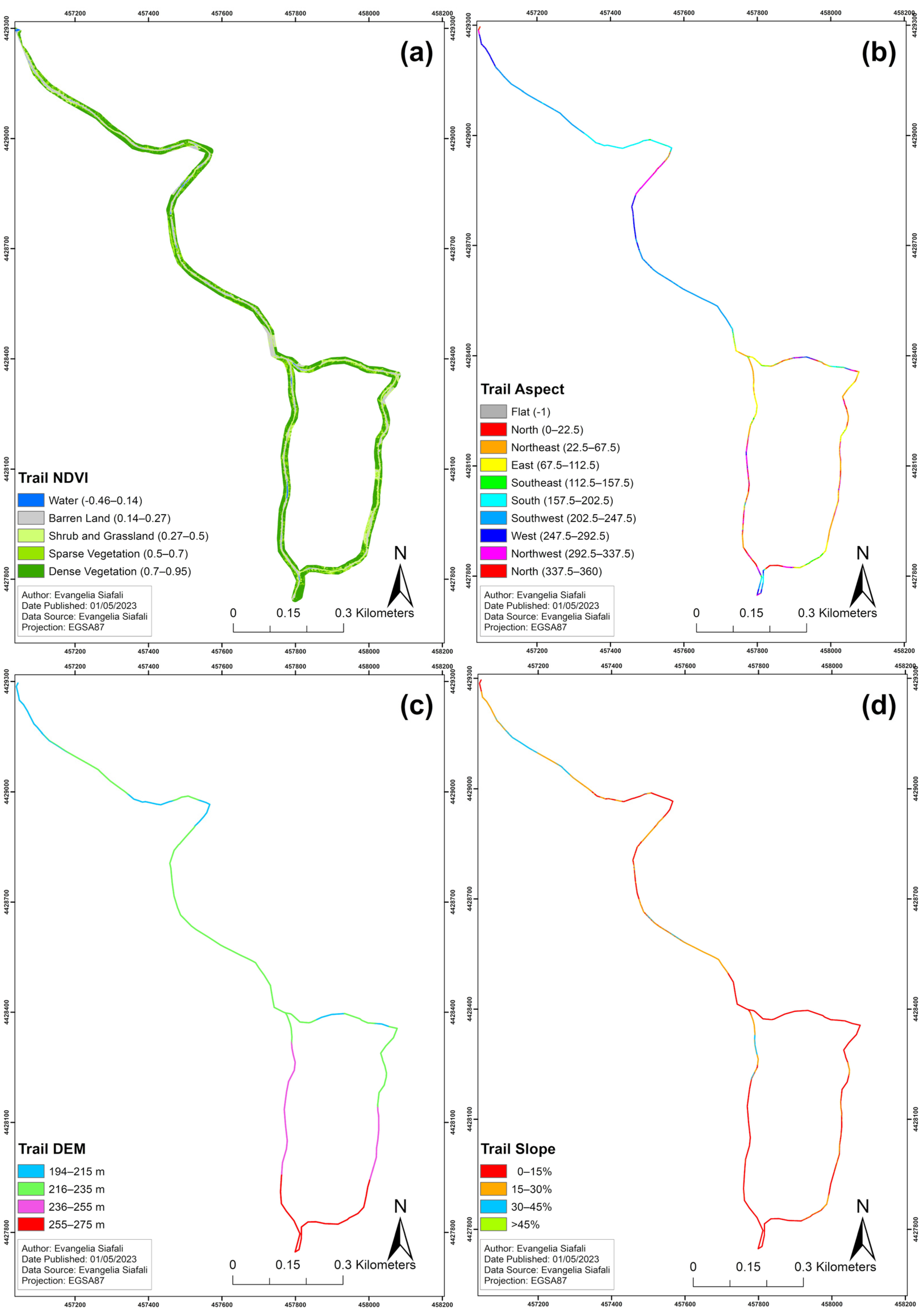
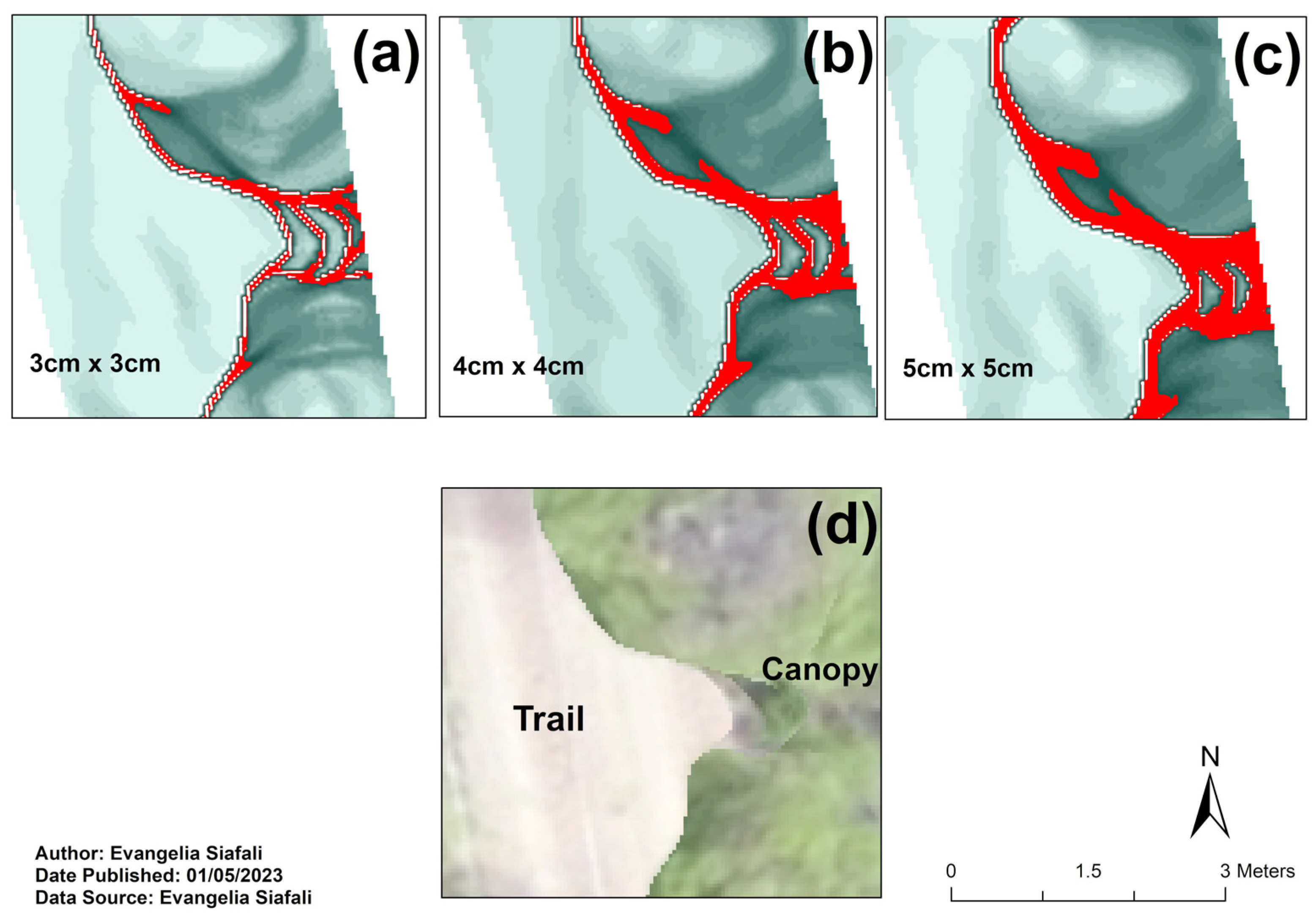
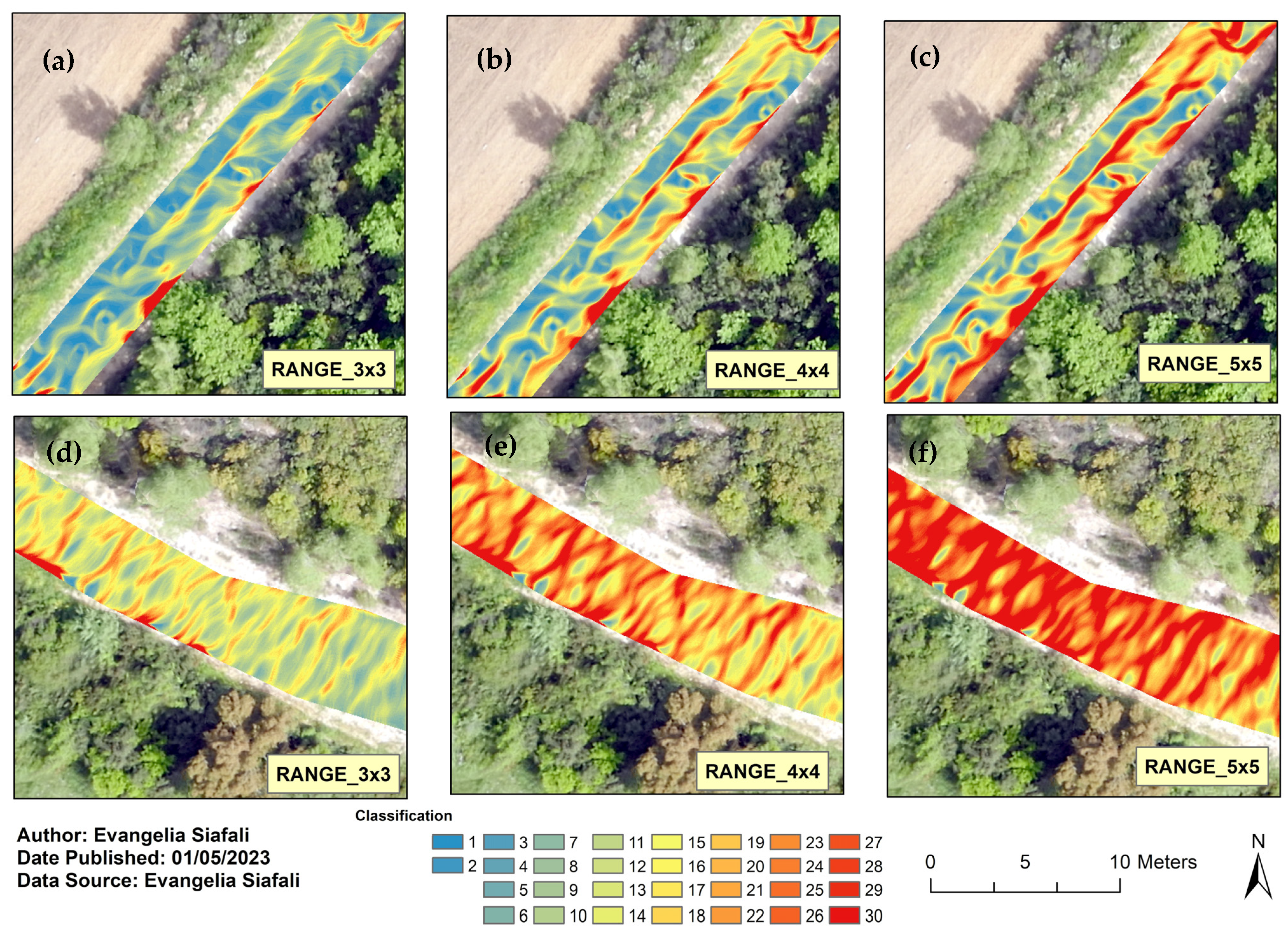
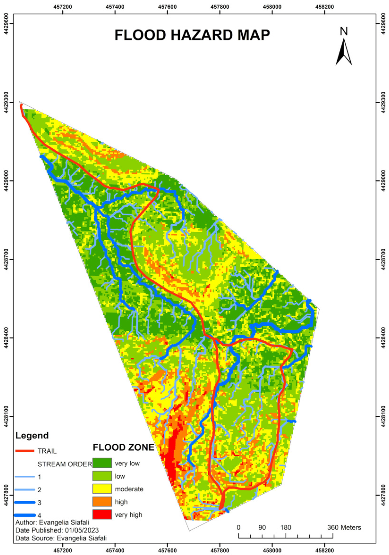
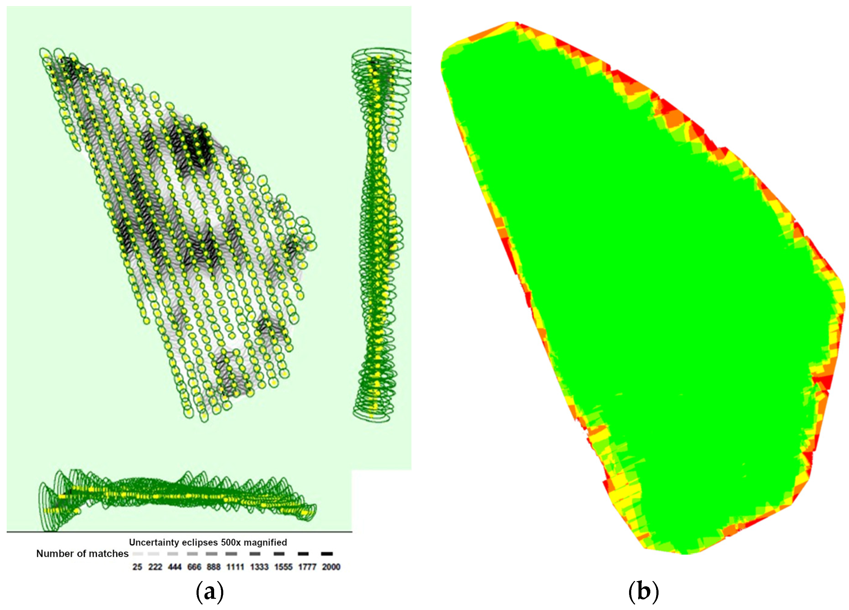
The significant increase in hiking, wood extraction, and transportation activities exerts a notable impact on the environmental balance along trails and forest roads in the form of soil degradation. The aim of this study was to develop a Deformation Classification Model for the surface of a multi-use trail, as well as to calculate sediment deposition and generate a flood hazard map in a partially forested region. The eBee X mapping Unmanned Aerial Vehicle (UAV) equipped with the senseFly S.O.D.A. 3D camera and Real-Time Kinematic (RTK) technology flew over the study area of 149 ha in Northern Greece at an altitude of 120 m and achieved a high spatial resolution of 2.6 cm. The specific constellation of fixed-wing equipment makes the use of ground control points obsolete, compared to previous, in most cases polycopter-based, terrain deformation research. Employing the same methodology, two distinct classifications were applied, utilizing the Digital Surface Model (DSM) and Digital Elevation Model (DEM) for analysis. The Geolocation Errors and Statistics for Bundle Block Adjustment exhibited a high level of accuracy in the model, with the mean values for each of the three directions (X, Y, Z) being 0.000023 m, −0.000044 m, and 0.000177 m, respectively. The standard deviation of the error in each direction was 0.022535 m, 0.019567 m, and 0.020261 m, respectively. In addition, the Root Mean Square (RMS) error was estimated to be 0.022535 m, 0.019567 m, and 0.020262 m, respectively. A total of 20 and 30 altitude categories were defined at a 4 cm spatial resolution, each assigned specific ranges of values, respectively. The area of each altitude category was quantified in square meters (m2), while the volume of each category was measured in cubic meters (m3). The development of a Deformation Classification Model for the deck of a trail or forest road, coupled with the computation of earthworks and the generation of a flood hazards map, represents an efficient approach that can provide valuable support to forest managers during the planning phase or maintenance activities of hiking trails and forest roads.
Keywords: forest management; terrain analysis; environmental impact assessment; erosion model; earthworks; timber extraction; GPS; 3D Model; photogrammetry forest management; terrain analysis; environmental impact assessment; erosion model; earthworks; timber extraction; GPS; 3D Model; photogrammetry