Review

Remote Sensing Technologies for Monitoring Argane Forest Stands: A Comprehensive Review

1
Botany, Mycology and Environment Laboratory, Department of Biology, Faculty of Sciences, Mohammed V University, Rabat 10050, Morocco
2
École Normale Supérieure Marrakech, Cadi Ayyad University, Marrakech 40000, Morocco
3
National Forestry School of Engineers, Sale 11000, Morocco
*
Author to whom correspondence should be addressed.
Geographies 2024, 4(3), 441-461; https://doi.org/10.3390/geographies4030024

Submission received: 3 June 2024 / Revised: 17 July 2024 / Accepted: 24 July 2024 / Published: 26 July 2024

Abstract

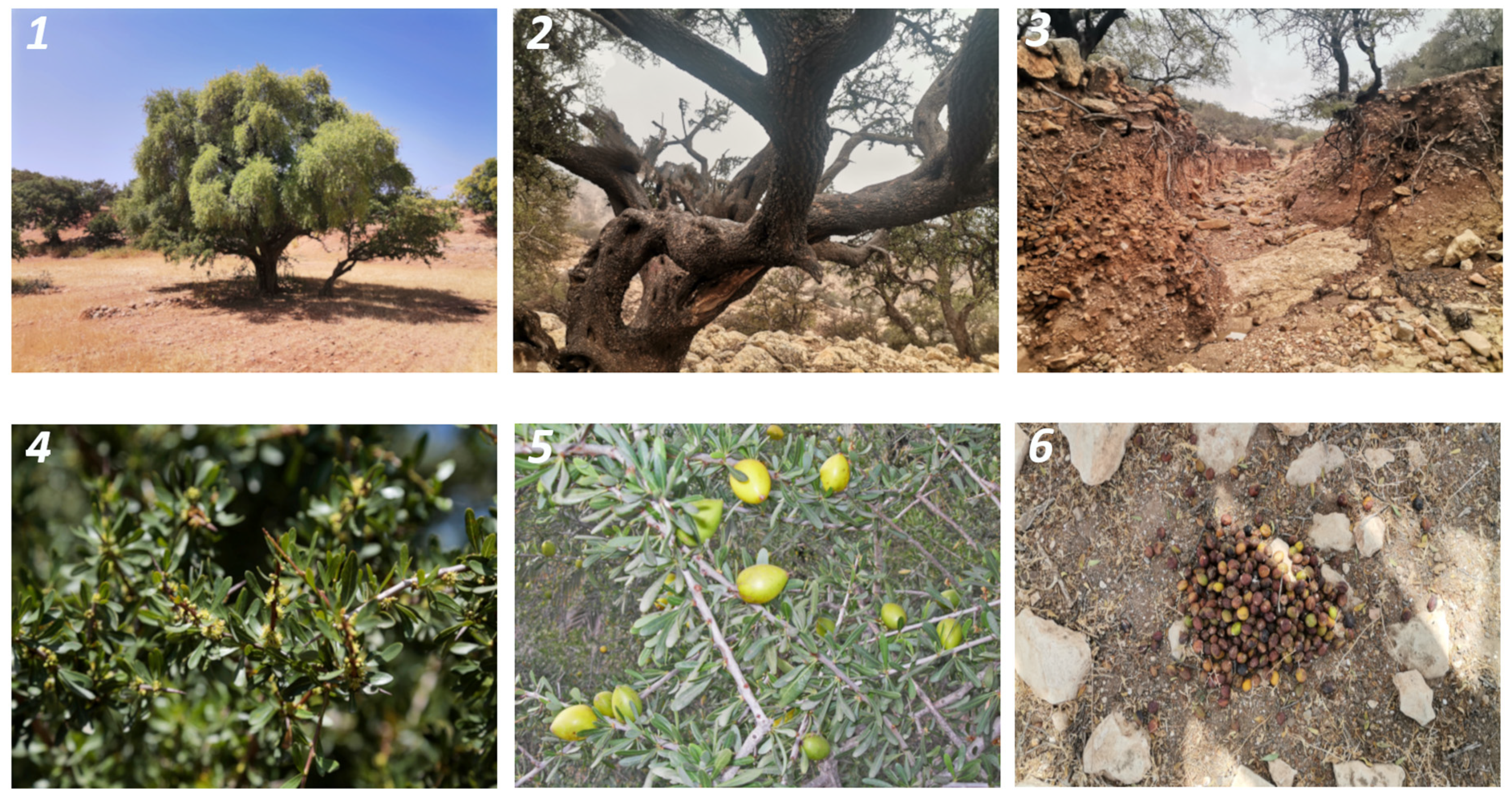
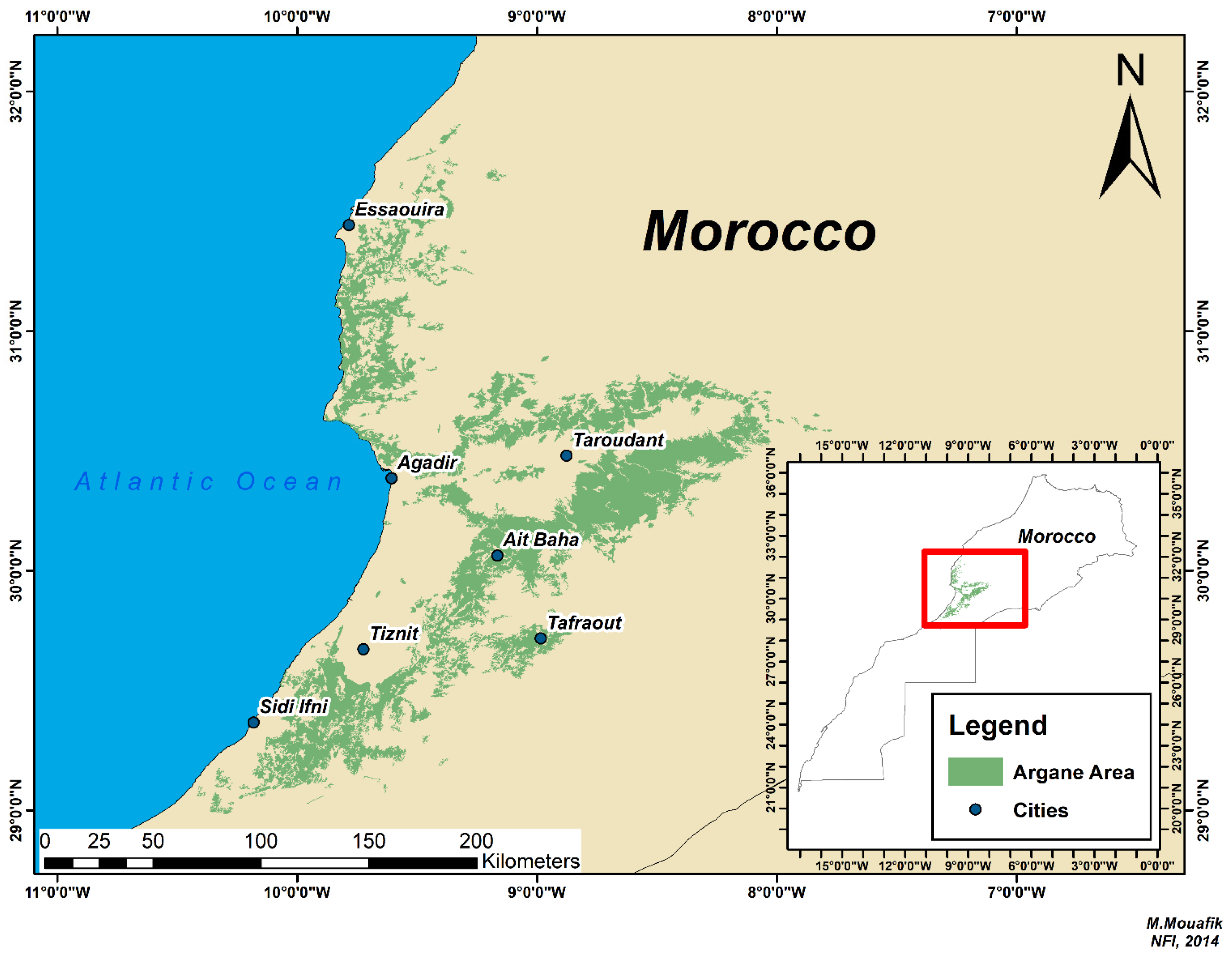
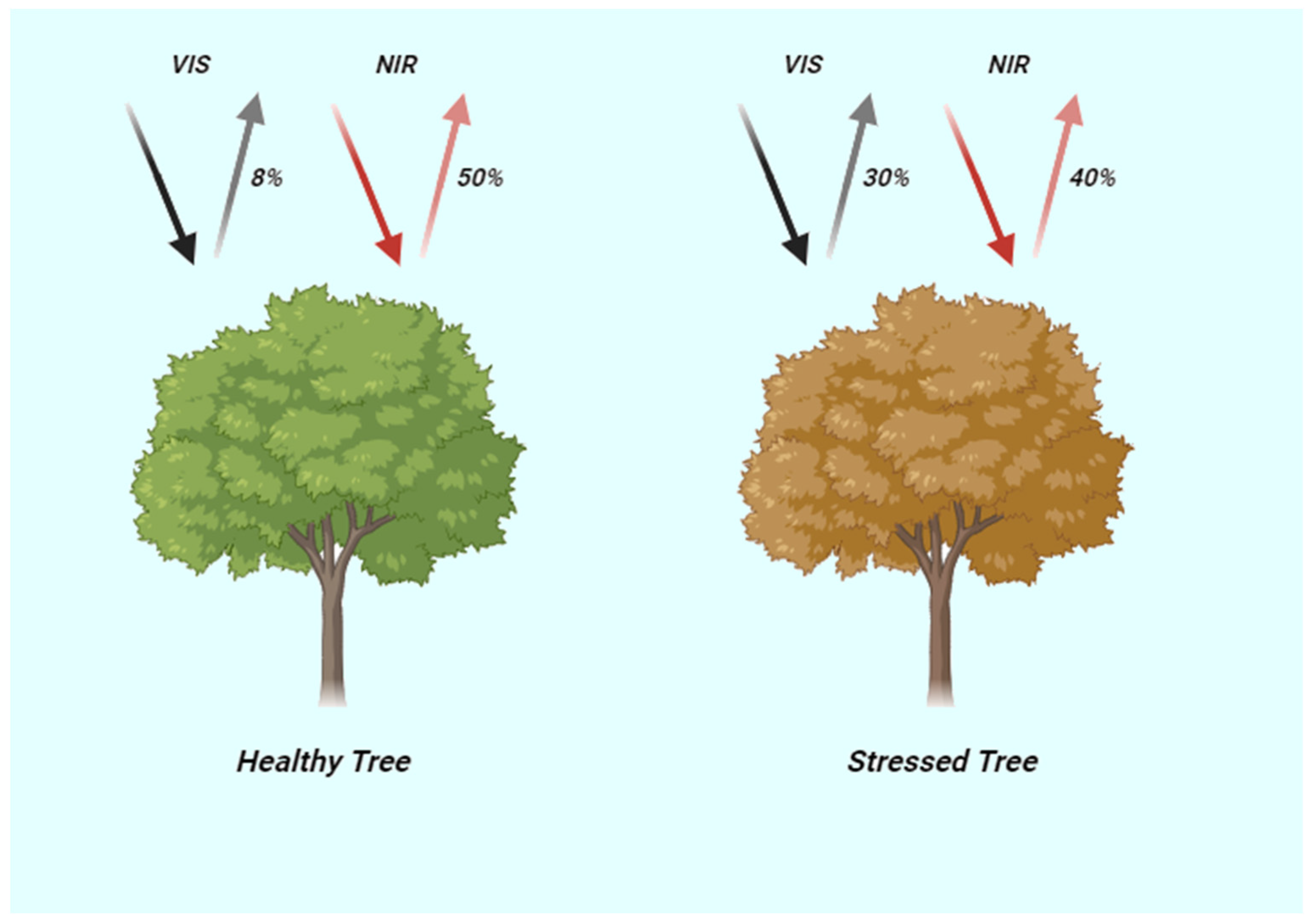
This comprehensive review explores the ecological significance of the Argane stands (Argania spinosa) in southwestern Morocco and the pivotal role of remote sensing technology in monitoring forest ecosystems. Argane stands, known for their resilience in semi-arid and arid conditions, serve as a keystone species, preventing soil erosion, maintaining ecological balance, and providing habitat and sustenance to diverse wildlife species. Additionally, they produce an extremely valuable Argane oil, offering economic opportunities and cultural significance to local communities. Remote sensing tools, including satellite imagery, LiDAR, drones, radar, and GPS precision, have revolutionized our capacity to remotely gather data on forest health, cover, and responses to environmental changes. These technologies provide precise insights into canopy structure, density, and individual tree health, enabling assessments of Argane stand populations and detection of abiotic stresses, biodiversity, and conservation evaluations. Furthermore, remote sensing plays a crucial role in monitoring vegetation health, productivity, and drought stress, contributing to sustainable land management practices. This review underscores the transformative impact of remote sensing in safeguarding forest ecosystems, particularly the Argane forest stands, and highlights its potential for continued advancements in ecological research and conservation efforts.
Keywords: Argania spinosa; remote sensing; satellite imagery; forest monitoring; drone; vegetation health; drought stress Argania spinosa; remote sensing; satellite imagery; forest monitoring; drone; vegetation health; drought stress