Measuring the Urban Sprawl of a Mega-Urban Agglomeration Area Based on Multi-Dimensions with a Mechanical Equilibrium Model: A Case Study of the Yangtze River Delta, China
Abstract
1. Introduction
2. Literature Review
2.1. Measurement of Urban Sprawl in Previous Studies
2.2. Spatial Planning and Urban Sprawl Control
3. Study Area and Data Processing
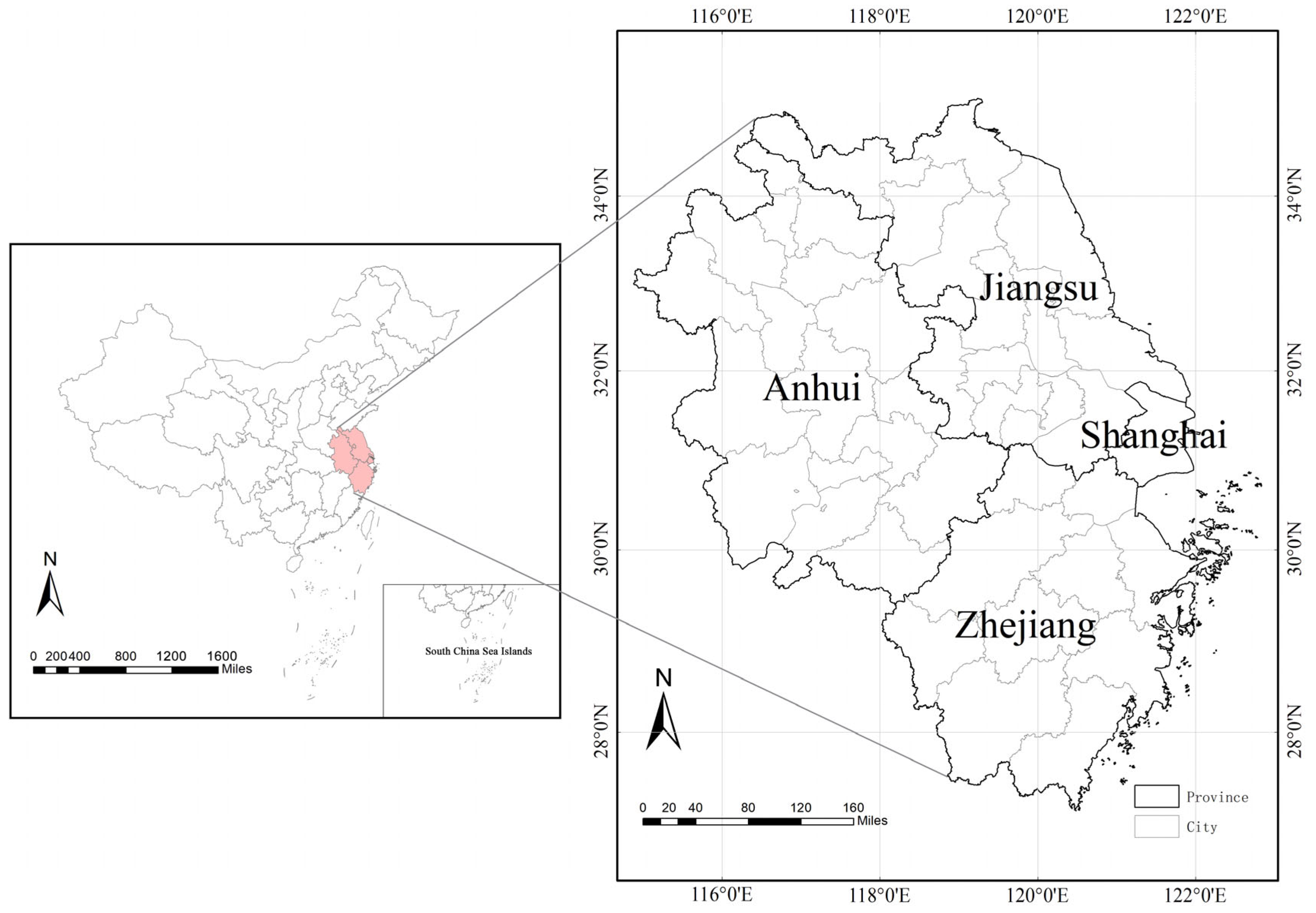
3.1. Study Area
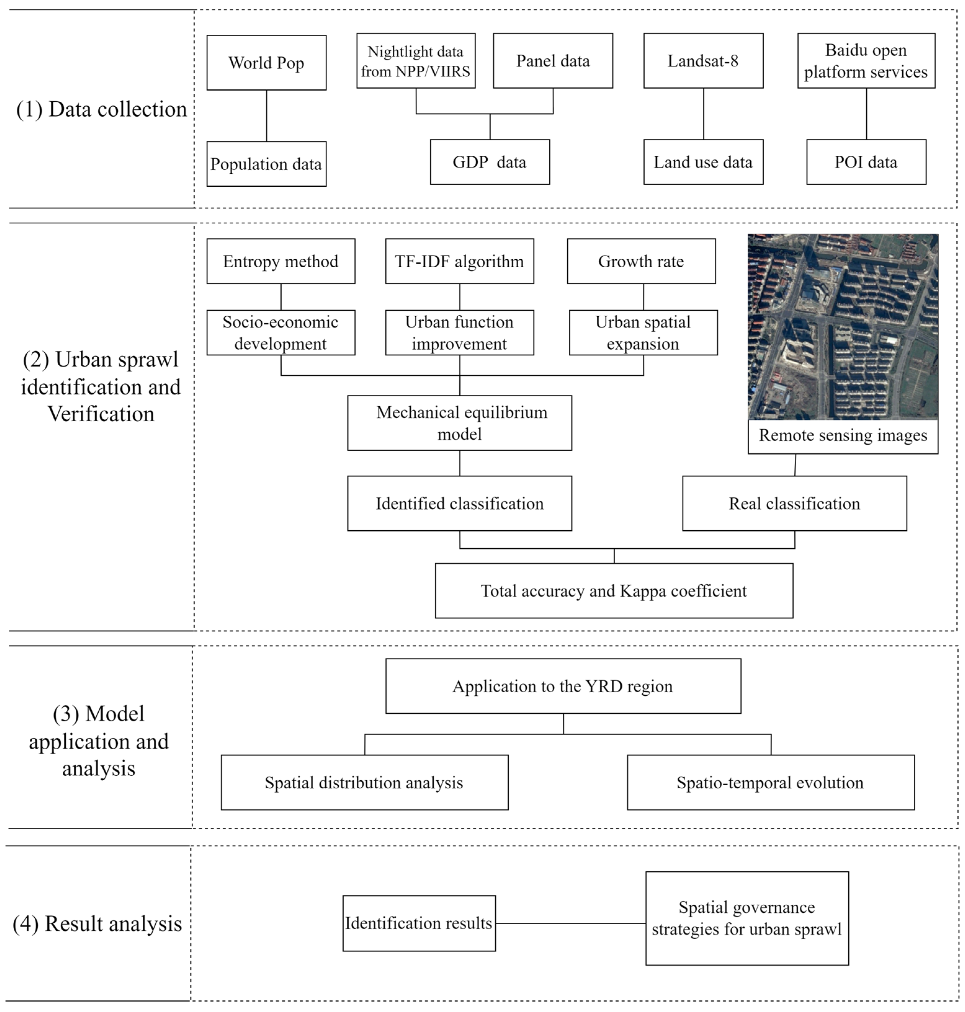
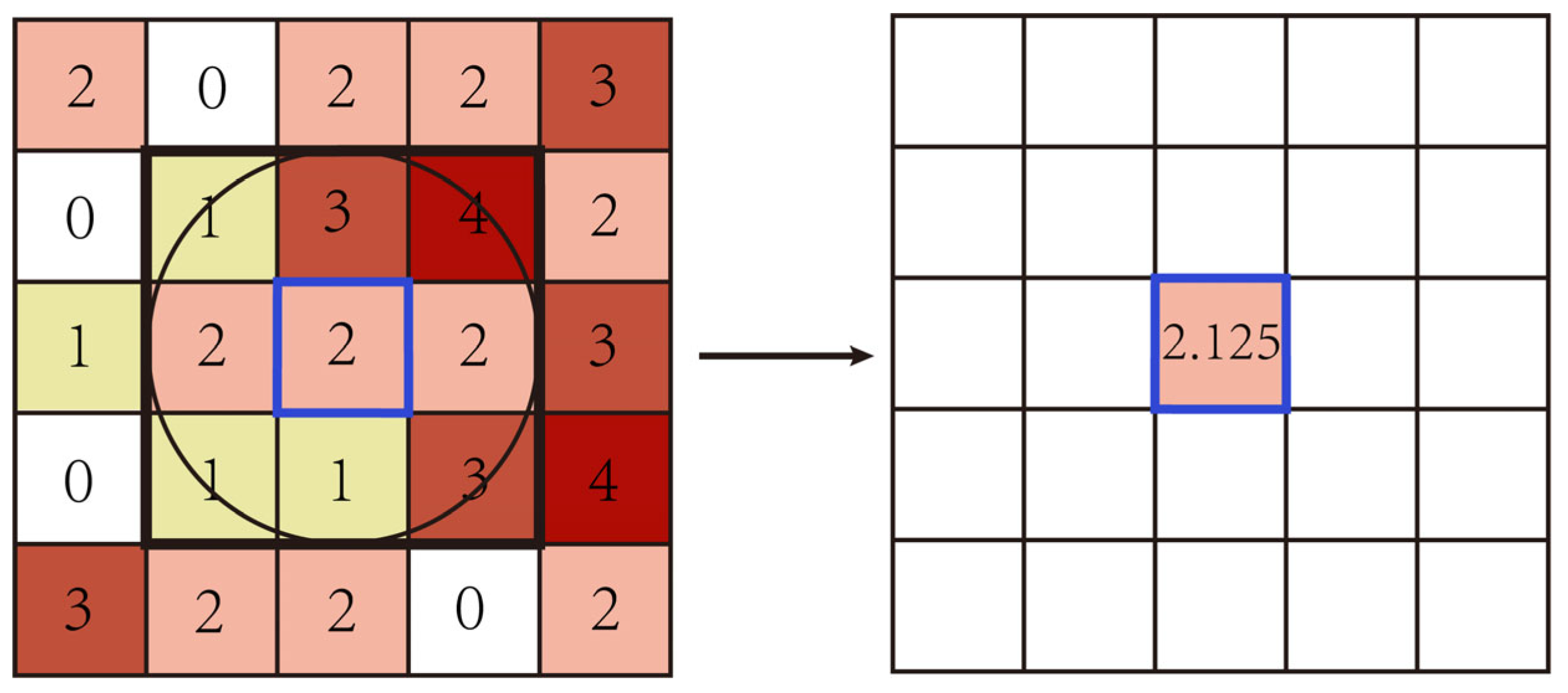
3.2. Data Source and Processing
4. Methodologies
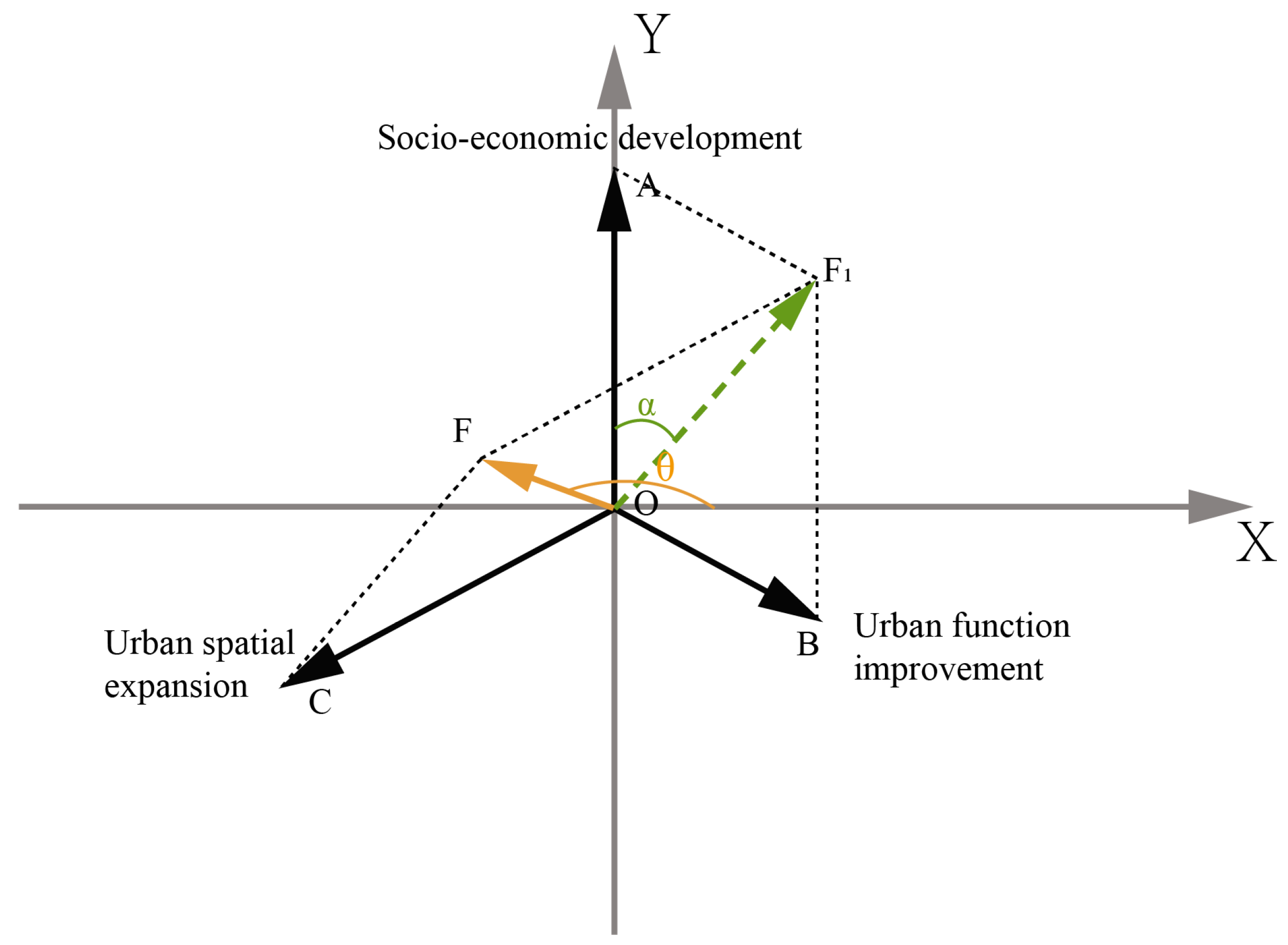
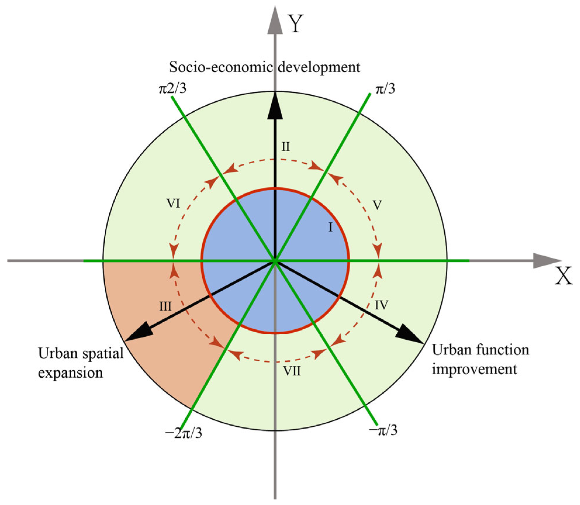
4.1. Urban Sprawl Identification Based on the Mechanical Equilibrium Model
- (1)
- Socioeconomic development
- (2)
- Urban spatial expansion
- (3)
- Urban function improvement
- (4)
- Urban sprawl measurement based on the mechanical equilibrium model
4.2. Verification of the Identification
5. Analyses and Results
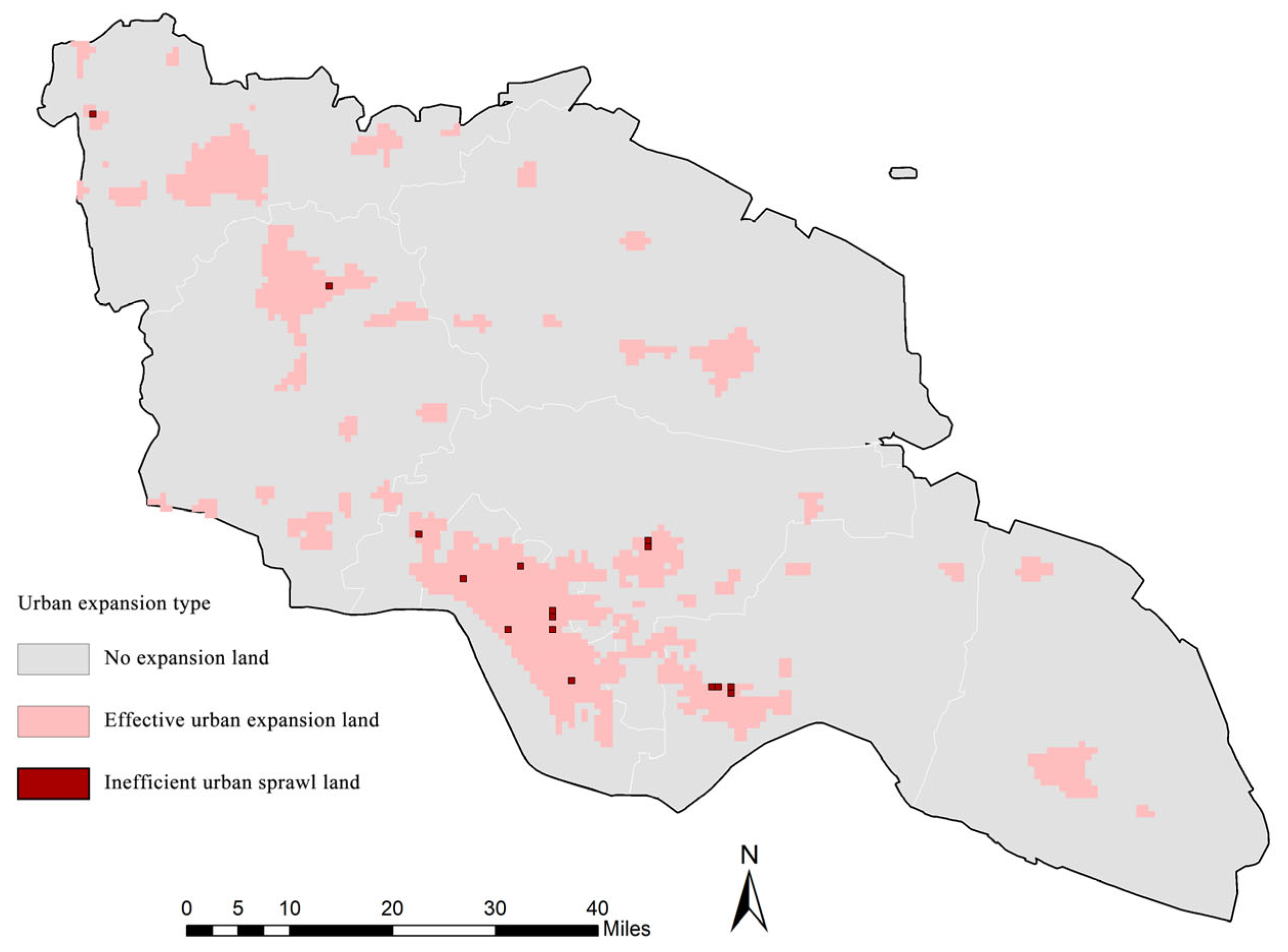
5.1. Identification Results of the Pre-Experiment in Nantong
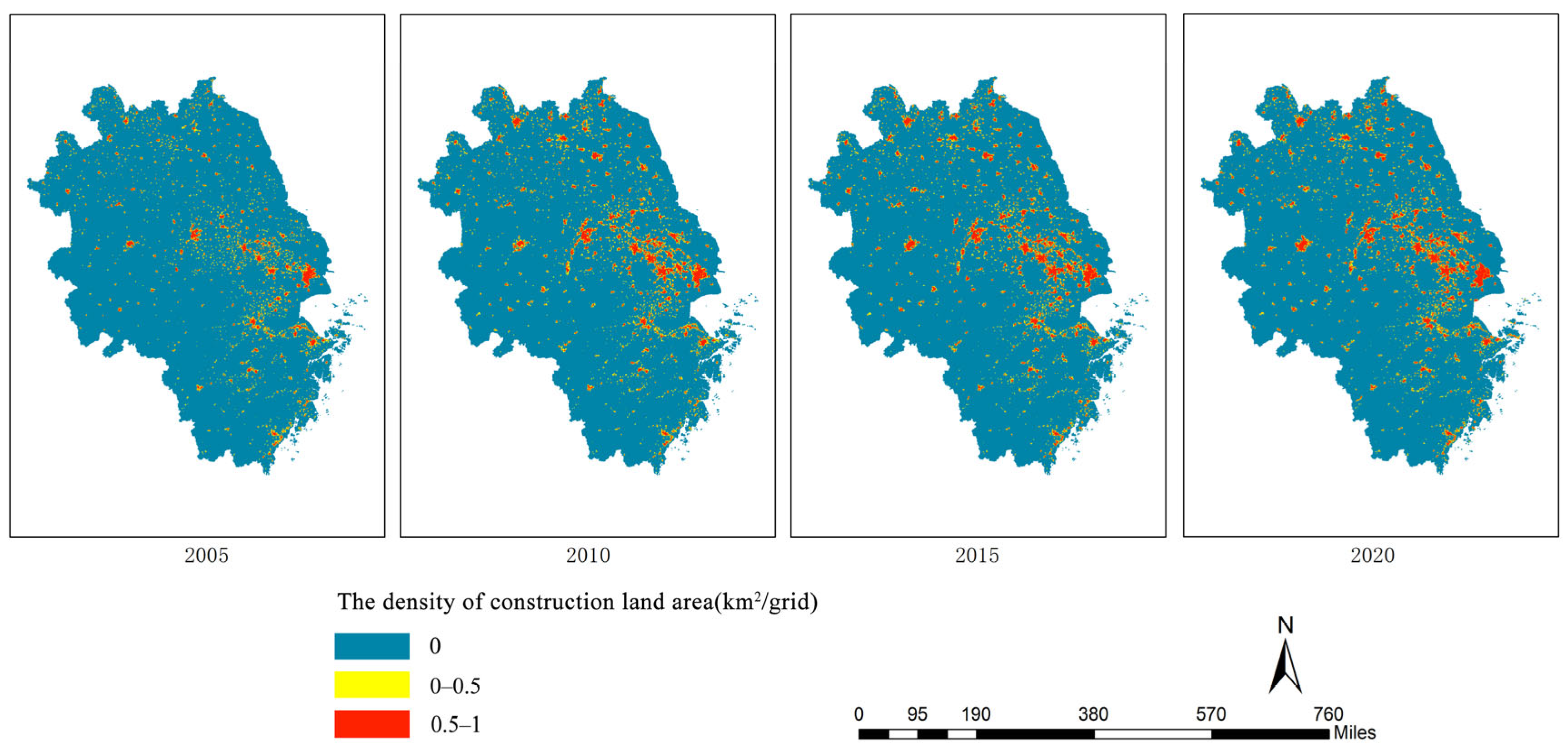
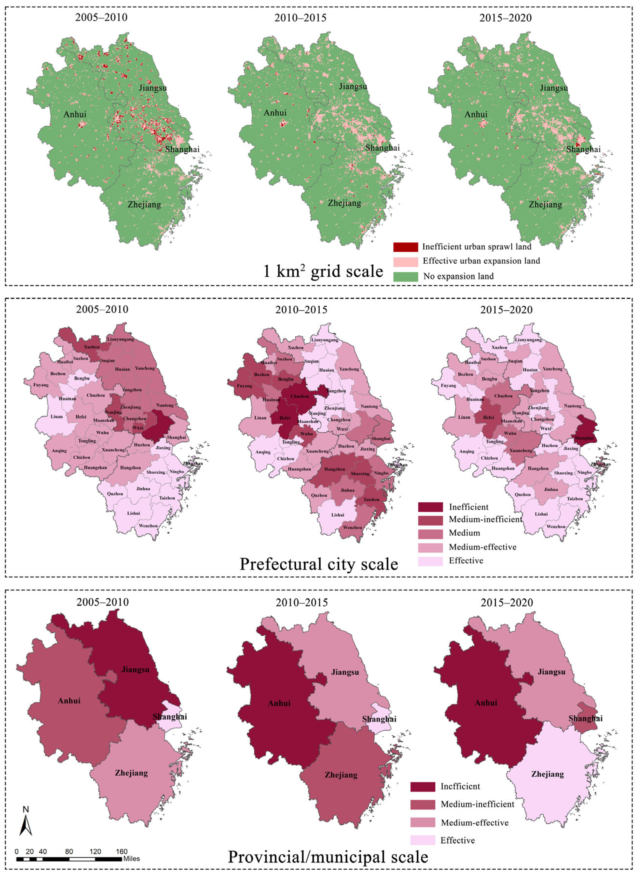
5.2. Urban Sprawl of the YRD Region from 2005 to 2020
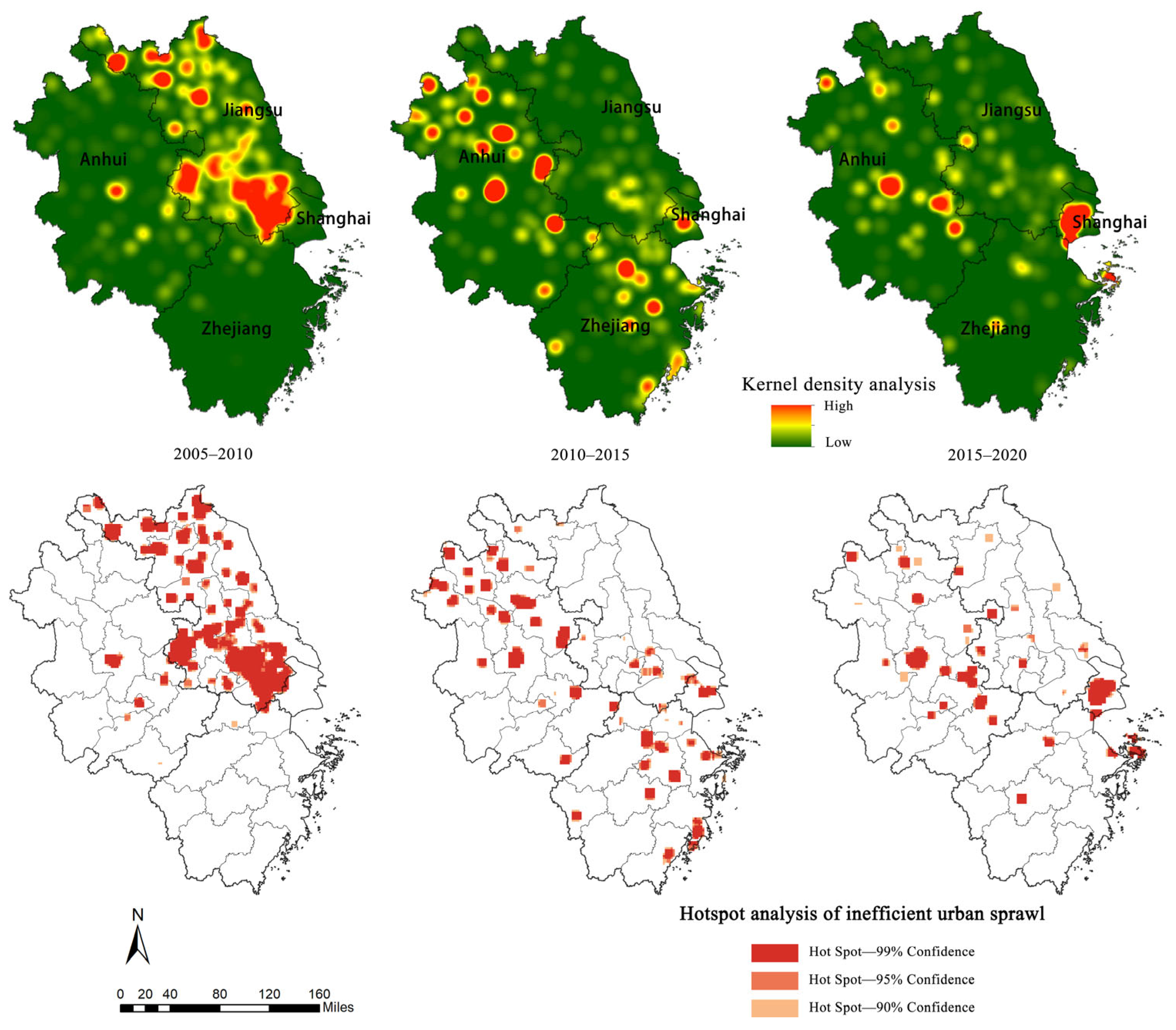
5.3. Spatial Evolution of Inefficient Urban Sprawl in the YRD Region
6. Discussion
6.1. Comparison with the Results of Existing Studies
6.2. Implications for Urban Sprawl Control in the YRD Region
- (1)
- Inefficient urban sprawl continuous growth areas
- (2)
- Inefficient urban sprawl weakening areas
- (3)
- Inefficient urban sprawl monitoring area
6.3. Applicability and Improvement of the Proposed Model
- (1)
- Applicability of the proposed model
- (2)
- Priorities of the proposed model in future studies
7. Conclusions
Author Contributions
Funding
Data Availability Statement
Conflicts of Interest
References
- Jarah, S.; Zhou, B.; Abdullah, R.; Lu, Y.; Yu, W. Urbanization and Urban Sprawl Issues in City Structure: A Case of the Sulaymaniah Iraqi Kurdistan Region. Sustainability 2019, 11, 485. [Google Scholar] [CrossRef]
- Fang, C.; Yu, D. Urban agglomeration: An evolving concept of an emerging phenomenon. Landsc. Urban Plan. 2017, 162, 126–136. [Google Scholar] [CrossRef]
- Tian, Y.; Mao, Q. The effect of regional integration on urban sprawl in urban agglomeration areas: A case study of the Yangtze River Delta, China. Habitat Int. 2022, 130, 102695. [Google Scholar] [CrossRef]
- Tian, Y. Mutualistic Pattern of Intra-Urban Agglomeration and Impact Analysis: A Case Study of 11 Urban Agglomerations of Mainland China. ISPRS Int. J. Geo-Inf. 2020, 9, 565. [Google Scholar] [CrossRef]
- Wang, J.; Ma, H.; Jiang, M.; Zang, J. Urban Sprawl, Land Resource Mismatch and Agglomeration Economy. Explor. Econ. Issues 2021, 10, 62–73. [Google Scholar]
- Zhang, J.; Lou, C.; Xiu, C. Spatial Patterns of Local Government Competition–An Empirical Analysis of the Spread of Urban Agglomerations in the Yangtze River Delta. Urban. Reg. Dev. 2020, 5, 85–93. [Google Scholar]
- Hu, K.; Lin, M.; Lin, T.; Ye, H.; Zhang, G.; Sui, J.; Chen, T.; Yao, X.; Lu, X. Spatial Identification and Quantitative Assessment of Urban Sprawl and Ecological Conservation Conflicts in Rapid Urbanization. Acta Ecol. Sin. 2022, 42, 462–473. [Google Scholar]
- Sarkodie, S.A.; Owusu, P.A.; Leirvik, T. Global effect of urban sprawl, industrialization, trade and economic development on carbon dioxide emissions. Environ. Res. Lett. 2020, 15, 034049. [Google Scholar] [CrossRef]
- Song, X.; Feng, Q.; Xia, F.; Li, X.; Scheffran, J. Impacts of changing urban land-use structure on sustainable city growth in China: A population-density dynamics perspective. Habitat Int. 2021, 107, 102296. [Google Scholar] [CrossRef]
- Noor, M.N.; Rosni, N.A.; Hashim, M.; Abdullah, A. Developing land use geospatial indices (LUGI) for sprawl measurement in alpha cities: Case study of Kuala Lumpur, Malaysia. Cities 2018, 82, 127–140. [Google Scholar] [CrossRef]
- Zhang, Y.; Long, H.; Tu, S.; Ge, D.; Ma, L.; Wang, L. Spatial identification of land use functions and their tradeoffs/synergies in China: Implications for sustainable land management. Ecol. Indic. 2019, 107, 105550. [Google Scholar] [CrossRef]
- Kang, Q.; Guo, Q.; Ding, Y.; Zhang, Y. Analysis of the synergy/trade-off relationship of the “three living” functions in Shanxi Province. J. Nat. Resour. 2021, 36, 1195–1207. [Google Scholar]
- Rusk, D. Cities without Suburbs; Woodrow Wilson Center Press: Washington, DC, USA, 1993. [Google Scholar]
- Fei-Xue, L.I.; Man-Chun, L.I.; Yong-Xue, L.I.; Jian, L.I.N.; Zhen-Jie, C.H.N. Urban growth in Nanjing since 1949. J. Nat. Resour. 2007, 22, 524–535. [Google Scholar]
- Hortas-Rico, M. Urban sprawl and municipal budgets in Spain: A dynamic panel data analysis. Pap. Reg. Sci. 2014, 93, 843–864. [Google Scholar] [CrossRef]
- Lopez, R.; Hynes, H.P. Sprawl in the 1990s Measurement, Distribution, and Trends. Urban Aff. Rev. 2003, 38, 325–355. [Google Scholar] [CrossRef]
- Sahana, M.; Hong, H.; Sajjad, H. Analyzing urban spatial patterns and trend of urban growth using urban sprawl matrix: A study on Kolkata urban agglomeration, India. Sci. Total Env. 2018, 628–629, 1557–1566. [Google Scholar] [CrossRef]
- Abdullahi, S.; Pradhan, B.; Mojaddadi, H. City Compactness: Assessing the Influence of the Growth of Residential Land Use. J. Urban Technol. 2017, 25, 21–46. [Google Scholar] [CrossRef]
- Das Chatterjee, N.; Chatterjee, S.; Khan, A. Spatial modeling of urban sprawl around Greater Bhubaneswar city, India. Model. Earth Syst. Environ. 2015, 2, 1–21. [Google Scholar] [CrossRef]
- Lin, M.; Chen, Y.; Shi, Y.; Jiang, J.; Wang, L. Analysis on the difference of construction land expansion among the inner districts of big city and its cause- A case study of Changsha city. Econ. Geogr. 2006, 5, 836–841+845. [Google Scholar]
- Taiwo, O.J. Modelling the spatiotemporal patterns of urban sprawl in Ibadan metropolis between 1984 and 2013 in Nigeria. Model. Earth Syst. Environ. 2021, 8, 121–140. [Google Scholar] [CrossRef]
- Tsai, Y.-H. Quantifying Urban Form: Compactness versus ‘Sprawl’. Urban Study 2005, 42, 141–161. [Google Scholar] [CrossRef]
- Fallah, B.N.; Partridge, M.D.; Olfert, M.R. Urban sprawl and productivity: Evidence from US metropolitan areas. Pap. Reg. Sci. 2011, 90, 451–472. [Google Scholar] [CrossRef]
- Kowalczyk, C.; Kil, J.; Kurowska, K. Dynamics of development of the largest cities–Evidence from Poland. Cities 2019, 89, 26–34. [Google Scholar] [CrossRef]
- Bhatta, B. Analysis of Urban Growth and Sprawl from Remote Sensing Data; Springer Science & Business Media: Berlin/Heidelberg, Germany, 2010. [Google Scholar]
- Xie, X.; Kang, H.; Behnisch, M.; Baildon, M.; Krüger, T. To What Extent Can the Green Belts Prevent Urban Sprawl?—A Comparative Study of Frankfurt am Main, London and Seoul. Sustainability 2020, 12, 679. [Google Scholar] [CrossRef]
- Wang, J.; Lin, Y.; Glendinning, A.; Xu, Y. Land-use changes and land policies evolution in China’s urbanization processes. Land Use Policy 2018, 75, 375–387. [Google Scholar] [CrossRef]
- Qian, J.; Peng, Y.; Luo, C.; Wu, C.; Du, Q. Urban Land Expansion and Sustainable Land Use Policy in Shenzhen: A Case Study of China’s Rapid Urbanization. Sustainability 2016, 8, 16. [Google Scholar] [CrossRef]
- Lum, S.K.; Sim, L.L.; Malone-Lee, L.C. Market-led policy measures for urban redevelopment in Singapore. Land Use Policy 2004, 21, 1–19. [Google Scholar] [CrossRef]
- Nuissl, H.; Schroeter-Schlaack, C. On the economic approach to the containment of land consumption. Environ. Sci. Policy 2009, 12, 270–280. [Google Scholar] [CrossRef]
- Leong, C.K. Special economic zones and growth in China and India: An empirical investigation. Int. Econ. Econ. Policy 2013, 10, 549–567. [Google Scholar] [CrossRef]
- Kort, M.; Klijn, E.H. Public–private partnerships in urban regeneration projects: Organizational form or managerial capacity? Public Adm. Rev. 2011, 71, 618–626. [Google Scholar] [CrossRef]
- Ćetković, S.; Buzogány, A.J.C.P. Varieties of capitalism and clean energy transitions in the European Union: When renewable energy hits different economic logics. Clim. Policy 2016, 16, 642–657. [Google Scholar] [CrossRef]
- Chang, C.-T.; Lee, H.-C. Taiwan’s renewable energy strategy and energy-intensive industrial policy. Renew. Sustain. Energy Rev. 2016, 64, 456–465. [Google Scholar] [CrossRef]
- Keuffer, N. Local Self-Government and the Choice for Local Governance Arrangements in Nine Swiss Municipal Tasks. In The Future of Local Self-Government: European Trends in Autonomy, Innovations and Central-Local Relations; Bergström, T., Franzke, J., Kuhlmann, S., Wayenberg, E., Eds.; Springer International Publishing: Cham, Switzerland, 2021; pp. 67–81. [Google Scholar]
- Fertner, C.; Jørgensen, G.; Sick Nielsen, T.A.; Bernhard Nilsson, K.S. Urban sprawl and growth management–Drivers, impacts and responses in selected European and US cities. Future Cities Environ. 2016, 2, 9. [Google Scholar] [CrossRef]
- Cartier, C. A political economy of rank: The territorial administrative hierarchy and leadership mobility in urban China. J. Contemp. China 2016, 25, 529–546. [Google Scholar] [CrossRef]
- Yang, Y.; Zhang, L.; Ye, Y.; Wang, Z. Curbing Sprawl with Development-limiting Boundaries in Urban China: A Review of Literature. J. Plan. Lit. 2019, 35, 25–40. [Google Scholar] [CrossRef]
- Zhang, D.; Wang, X.; Qu, L.; Li, S.; Lin, Y.; Yao, R.; Zhou, X.; Li, J. Land use/cover predictions incorporating ecological security for the Yangtze River Delta region, China. Ecol. Indic. 2020, 119, 106841. [Google Scholar] [CrossRef]
- Lin, M.; Lin, T.; Sun, C.; Jones, L.; Sui, J.; Zhao, Y.; Liu, J.; Xing, L.; Ye, H.; Zhang, G.; et al. Using the Eco-Erosion Index to assess regional ecological stress due to urbanization–A case study in the Yangtze River Delta urban agglomeration. Ecol. Indic. 2020, 111, 106028. [Google Scholar] [CrossRef]
- Liu, H.; Jiang, D.; Yang, X.; Luo, C. Spatialization Approach to 1 km Grid GDP Supported by Remote Sensing. J. Geo-Inf. Sci. 2005, 7, 120–123. [Google Scholar]
- Xia, C.; Li, Y.; Zeng, C.; Zhang, B.; Zheng, L.; Chen, Y.; Shao, J. Transformation of sloping land use in the Three Gorges reservoir area and its socio-economic-ecological impact. J. Ecol. 2023, 43, 2688–2702. [Google Scholar]
- Dou, W.; Wang, C.; Xue, M.; Wang, Z. Research on the Identification and Evaluation of Urban Land Use Functions Based on POI Data–Taking the five districts in Jinan as an example. World Reg. Stud. 2020, 29, 804–813. [Google Scholar]
- Huang, H.; Long, J.; Wu, N.; Wei, E. Delineation and Identification of Urban Functional Areas Based on POI Big Data–A Case Study of Nanning City Central District. Sci. Technol. Inf. 2021, 19, 1–5. [Google Scholar]
- Yu, Z.; Chen, L.; Li, L.; Zhang, T.; Yuan, L.; Liu, R.; Wang, Z.; Zang, J.; Shi, S. Spatiotemporal Characterization of the Urban Expansion Patterns in the Yangtze River Delta Region. Remote Sens. 2021, 13, 4484. [Google Scholar] [CrossRef]
- Qiao, W.; Huang, X. Spatial and Temporal Patterns of Urban Land Expansion in the YRD Urban Agglomeration and Analysis of the Driving Forces. Econ. Geogr. 2021, 11, 1262. [Google Scholar]
- Xie, L.; Yang, Z.; Cai, J.; Cheng, Z.; Wen, T.; Song, T. Harbin: A rust belt city revival from its strategic position. Cities 2016, 58, 26–38. [Google Scholar] [CrossRef]
- Tong, L.; Hu, S.; Frazier, A.E. Hierarchically measuring urban expansion in fast urbanizing regions using multi-dimensional metrics: A case of Wuhan metropolis, China. Habitat Int. 2019, 94, 102070. [Google Scholar] [CrossRef]
- Rijal, S.; Rimal, B.; Stork, N.; Sharma, H.P. Quantifying the drivers of urban expansion in Nepal. Environ. Monit. Assess. 2020, 192, 633. [Google Scholar] [CrossRef]
- Maity, B.; Mallick, S.K.; Rudra, S. Integration of urban expansion with hybrid road transport network development within Haldia Municipality, West Bengal. Egypt. J. Remote Sens. Space Sci. 2021, 24, 471–483. [Google Scholar] [CrossRef]
- Nasar-u-Minallah, M.; Zia, S.; Rahman, A.-U.; Riaz, O. Spatio-Temporal Analysis of Urban Expansion and Future Growth Patterns of Lahore, Pakistan. Geogr. Environ. Sustain. 2021, 14, 41–53. [Google Scholar] [CrossRef]
| Category | Index | Area | Density | Shape | Topological Relation |
|---|---|---|---|---|---|
| Land | Urban elasticity index + [13] | ||||
| Population-urban expansion index + [14] | |||||
| Built-up area per capita + [15] | |||||
| Urban sprawl index * [16] | |||||
| Land use geospatial indices # [10] | |||||
| Urban sprawl matrix # [17] | |||||
| Function | Compactness * [18] | ||||
| Shannon’s entropy index * [19] | |||||
| Expansion difference composite index * [20] | |||||
| Landscape metrics * [21] | |||||
| Economics | Degree of equal distribution * [22] | ||||
| Percentage of employment outside a certain distance coming from the CBD * [23] | |||||
| Residential area per capita * [24] | |||||
| Sprawl index of the population * [16] |
| Developed Countries | Developing Countries | |
|---|---|---|
| Land use policy | (1) Green belts in Western developed countries are established by government authorities and typically demarcate areas surrounding a city or town where development is restricted. This is preserved in the green areas surrounding the urban area and prevents urban sprawl [26]. | (1) China has implemented a series of land use policies, such as the “New-type Urbanization Plan” and “Land Management Regulations”, aimed at promoting sustainable urbanization and rational land use [27]. (2) A land reserve system, which allows the government to control the supply of land for urban development, is established, thereby controlling the pace of urbanization and limiting urban sprawl [28]. |
| Market economy strategy | (1) The private sector plays a crucial role in urban development in Western developed countries, with the government often providing incentives for private investment in urban renewal and redevelopment projects [29]. (2) The government established policies that encourage public–private partnerships in urban development, allowing the private sector to play a role in urban renewal and redevelopment projects [30]. | (1) In developing countries such as China and India, special economic zones are established to attract foreign investment and promote economic growth [31]. (2) The government established policies that encourage public–private partnerships in urban development, allowing the private sector to play a role in urban renewal and redevelopment projects [32]. |
| Industrial restructuring | (1) The development of high-tech industries, such as the IT and renewable energy sectors, is also a priority in Western developed countries, as these industries are considered key drivers of economic growth and competitiveness [33]. | (1) The government encouraged the development of high-tech industries, such as the biotechnology and renewable energy sectors, to drive economic growth and improve the competitiveness of the urban economy [34]. |
| Administrative zoning management | (1) Western developed countries have established systems of urban governance that are based on decentralized decision making and local autonomy [35]. (2) Coordination and cooperation across administrative boundaries [36]. | (1) China’s urban administrative division system is based on a hierarchical model, with the central government having the power to approve the establishment of new cities and urban districts [37]. (2) Limit urban development boundaries to control urban sprawl effectively [38]. |
| Dimension | Explanation | Data Source | Data Processing |
|---|---|---|---|
| Socioeconomic characteristics | Population per unit area (people/km2) | Open high-resolution geospatial datasets from World Pop | Widely available remote sensing and geospatial datasets such as land cover, roads, and satellite night light are used to perform two-dimensional weighted modeling. A random forest model was then used to generate gridded population density projections at 100 spatial resolutions. |
| GDP per unit area (million/km2) | Simulation based on land use data, night light indexes from NPP VIIRS data, and panel data | A regression model of GDP with nighttime light intensity, population, and land use type was developed to simulate the spatial distribution of population in a 1 km grid [41]. | |
| Land use characteristics | Construction land per unit area (km2/km2) | Classification of remote sensing images based on Landsat-5 and Landst-8 | The 30 m raster land use data were generated based on Landsat 8 remote sensing image interpretation, and then ArcGIS was used to spatially calculate the urban construction land per square kilometer. |
| Urban function | POI | POI from Baidu open platform services (http://lbsyun.baidu.com/ (accessed on 27 July 2022)) | Using Python 3.9 to obtain and organize POI data of all cities in YRD through the Baidu open platform. |
| Expansion Model | Explanation | Satellite Photos (2015–2020) | |
|---|---|---|---|
| I. Equilibrium sprawl 0< F ≤ 0.397 | Location: urban center area Features: socioeconomic and urban functional levels are high; construction land change is small. Relationship: balanced between the three dimensions. | 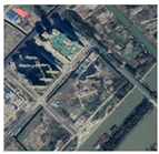 | 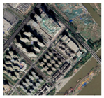 |
| 2015 | 2020 | ||
| II. Socioeconomically dominated expansion 0.397 < F ≤ 1 π/3 < θ < 2π/3 | Location: central business district Features: socioeconomic development is rapid, construction land is more fixed and less variable, and urban functions are developed and stable. Relationship: socioeconomic development is much faster than the development of the other two dimensions. | 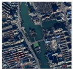 | 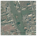 |
| 2015 | 2020 | ||
| III. Urban construction land-dominated expansion 0.397 < F ≤ 1 −π < θ < −2π/3 | Location: urban fringe areas Features: the building land changes a lot, but the development of urban functions and socioeconomic development is slow and disconnected from the construction land expansion. Relationship: building land expansion is much faster than the development of the other two dimensions. | 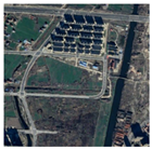 | 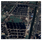 |
| 2015 | 2020 | ||
| IV. Urban function-dominated expansion 0.397 < F ≤ 1 −π/3 < θ < 0 | Locations: newly built areas of urban development Features: the expansion of building land is accompanied by the extremely rapid development of urban functions and a certain amount of socioeconomic development. Relationship: urban function development is much faster than the development of the other two dimensions. | 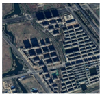 | 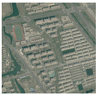 |
| 2015 | 2020 | ||
| V. Socioeconomic and urban function coordinated expansion 0.397 < F ≤ 1 0 < θ < π/3 | Location: existing urban areas of city centers Features: well-developed urban functions and socioeconomics and little expansion of built-up land. Relationship: construction land development is much slower than the development of the other two dimensions. | 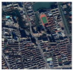 | 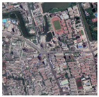 |
| 2015 | 2020 | ||
| VI. Socioeconomic and urban land use coordinated expansion 0.397 < F ≤ 1 2π/3 < θ < π | Location: urban natural scenic areas or urban industrial areas Features: rapid expansion of construction land and stable socioeconomic development but weak or even degraded urban functions. Relationship: urban function development is much less than the development of the other two dimensions. | 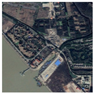 | 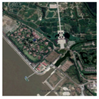 |
| 2015 | 2020 | ||
| VII. Urban function and construction land coordinated expansion 0.397 < F ≤ 1 −2π/3 < θ < −π/3 | Location: urban residential areas Features: rapid expansion of construction land and developed urban functions but slow socioeconomic development. Relationship: socioeconomic development is much lower than the development in the other two dimensions. | 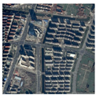 | 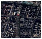 |
| 2015 | 2020 | ||
Disclaimer/Publisher’s Note: The statements, opinions and data contained in all publications are solely those of the individual author(s) and contributor(s) and not of MDPI and/or the editor(s). MDPI and/or the editor(s) disclaim responsibility for any injury to people or property resulting from any ideas, methods, instructions or products referred to in the content. |
© 2023 by the authors. Licensee MDPI, Basel, Switzerland. This article is an open access article distributed under the terms and conditions of the Creative Commons Attribution (CC BY) license (https://creativecommons.org/licenses/by/4.0/).
Share and Cite
Jiang, Y.; Zhu, Y.; Tian, Y. Measuring the Urban Sprawl of a Mega-Urban Agglomeration Area Based on Multi-Dimensions with a Mechanical Equilibrium Model: A Case Study of the Yangtze River Delta, China. Land 2023, 12, 1548. https://doi.org/10.3390/land12081548
Jiang Y, Zhu Y, Tian Y. Measuring the Urban Sprawl of a Mega-Urban Agglomeration Area Based on Multi-Dimensions with a Mechanical Equilibrium Model: A Case Study of the Yangtze River Delta, China. Land. 2023; 12(8):1548. https://doi.org/10.3390/land12081548
Chicago/Turabian StyleJiang, Yuneng, Yi Zhu, and Yasi Tian. 2023. "Measuring the Urban Sprawl of a Mega-Urban Agglomeration Area Based on Multi-Dimensions with a Mechanical Equilibrium Model: A Case Study of the Yangtze River Delta, China" Land 12, no. 8: 1548. https://doi.org/10.3390/land12081548
APA StyleJiang, Y., Zhu, Y., & Tian, Y. (2023). Measuring the Urban Sprawl of a Mega-Urban Agglomeration Area Based on Multi-Dimensions with a Mechanical Equilibrium Model: A Case Study of the Yangtze River Delta, China. Land, 12(8), 1548. https://doi.org/10.3390/land12081548


