Remote Sensing of Land Surface Phenology: Editorial


1. Background
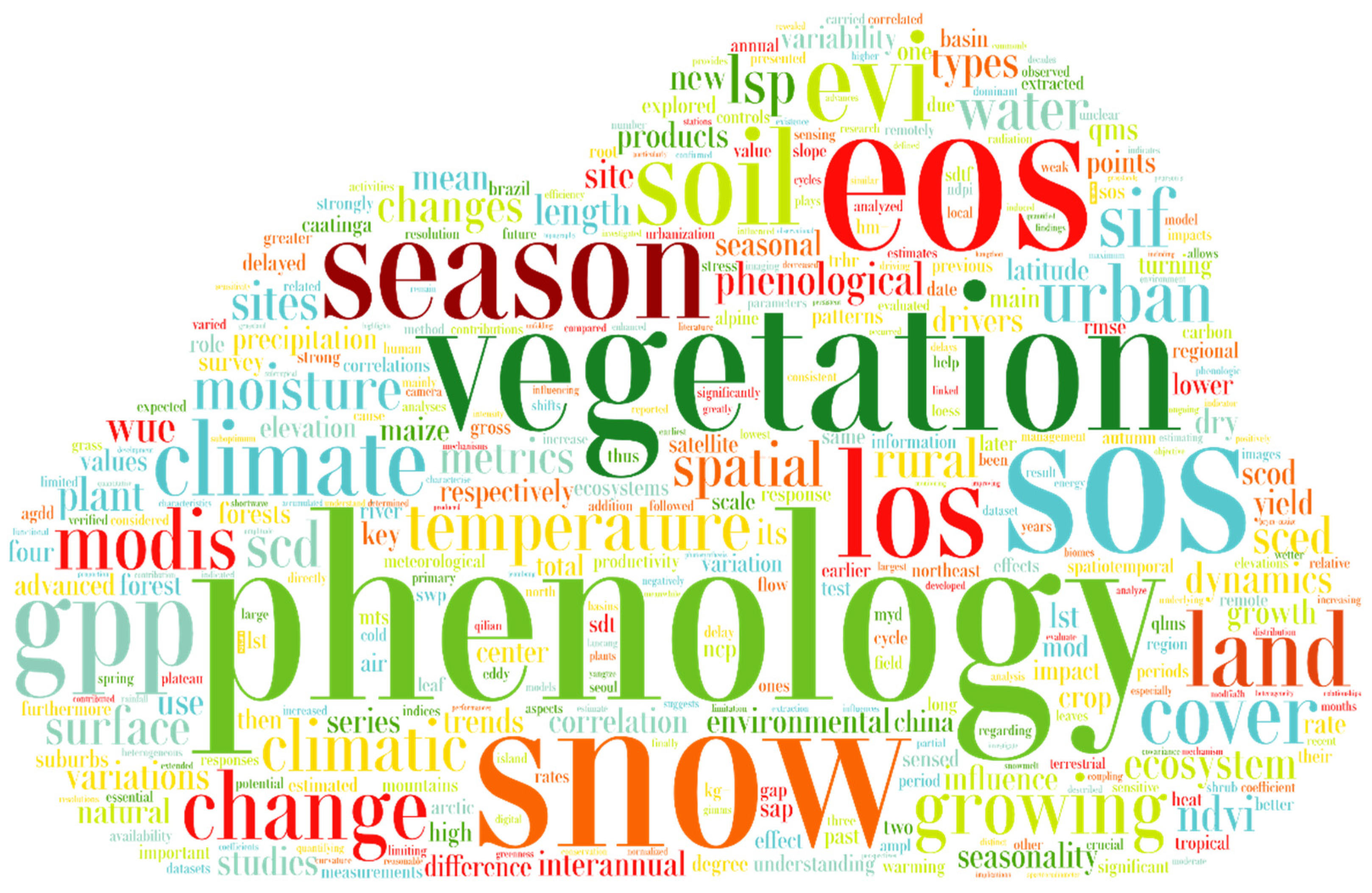
2. Papers in the Special Issue
3. Outlook to the Future
Author Contributions
Funding
Acknowledgments
Conflicts of Interest
References
- Costa, G.B.; Mendes, K.R.; Viana, L.B.; Almeida, G.V.; Mutti, P.R.; e Silva, C.M.S.; Bezerra, B.G.; Marques, T.V.; Ferreira, R.R.; Oliveira, C.P.; et al. Seasonal Ecosystem Productivity in a Seasonally Dry Tropical Forest (Caatinga) Using Flux Tower Measurements and Remote Sensing Data. Remote Sens. 2022, 14, 3955. [Google Scholar] [CrossRef]
- Costa, G.B.; Santos e Silva, C.M.; Mendes, K.R.; dos Santos, J.G.M.; Neves, T.T.A.T.; Silva, A.S.; Rodrigues, T.R.; Silva, J.B.; Dalmagro, H.J.; Mutti, P.R.; et al. WUE and CO2 Estimations by Eddy Covariance and Remote Sensing in Different Tropical Biomes. Remote Sens. 2022, 14, 3241. [Google Scholar] [CrossRef]
- Medeiros, R.; Andrade, J.; Ramos, D.; Moura, M.; Pérez-Marin, A.; dos Santos, C.; da Silva, B.; Cunha, J. Remote Sensing Phenology of the Brazilian Caatinga and Its Environmental Drivers. Remote Sens. 2022, 14, 2637. [Google Scholar] [CrossRef]
- Kim, A.R.; Lim, C.H.; Lim, B.S.; Seol, J.; Lee, C.S. Phenological Changes of Mongolian Oak Depending on the Micro-Climate Changes Due to Urbanization. Remote Sens. 2021, 13, 1890. [Google Scholar] [CrossRef]
- Ji, Y.; Jin, J.; Zhan, W.; Guo, F.; Yan, T. Quantification of Urban Heat Island-Induced Contribution to Advance in Spring Phenology: A Case Study in Hangzhou, China. Remote Sens. 2021, 13, 3684. [Google Scholar] [CrossRef]
- Zhang, S.; Bai, Y.; Zhang, J. Remote Sensing-Based Quantification of the Summer Maize Yield Gap Induced by Suboptimum Sowing Dates over North China Plain. Remote Sens. 2021, 13, 3582. [Google Scholar] [CrossRef]
- Ma, D.; Wu, X.; Ma, X.; Wang, J.; Lin, X.; Mu, C. Spatial, Phenological, and Inter-Annual Variations of Gross Primary Productivity in the Arctic from 2001 to 2019. Remote Sens. 2021, 13, 2875. [Google Scholar] [CrossRef]
- Wang, J.; Sun, H.; Xiong, J.; He, D.; Cheng, W.; Ye, C.; Yong, Z.; Huang, X. Dynamics and Drivers of Vegetation Phenology in Three-River Headwaters Region Based on the Google Earth Engine. Remote Sens. 2021, 13, 2528. [Google Scholar] [CrossRef]
- Guo, J.; Liu, X.; Ge, W.; Ni, X.; Ma, W.; Lu, Q.; Xing, X. Specific Drivers and Responses to Land Surface Phenology of Different Vegetation Types in the Qinling Mountains, Central China. Remote Sens. 2021, 13, 4538. [Google Scholar] [CrossRef]
- Yang, Y.; Qi, N.; Zhao, J.; Meng, N.; Lu, Z.; Wang, X.; Kang, L.; Wang, B.; Li, R.; Ma, J.; et al. Detecting the Turning Points of Grassland Autumn Phenology on the Qinghai-Tibetan Plateau: Spatial Heterogeneity and Controls. Remote Sens. 2021, 13, 4797. [Google Scholar] [CrossRef]
- Liu, Y.; Zhou, W.; Gao, S.; Ma, X.; Yan, K. Phenological Responses to Snow Seasonality in the Qilian Mountains Is a Function of Both Elevation and Vegetation Types. Remote Sens. 2022, 14, 3629. [Google Scholar] [CrossRef]
- Cui, X.; Xu, G.; He, X.; Luo, D. Influences of Seasonal Soil Moisture and Temperature on Vegetation Phenology in the Qilian Mountains. Remote Sens. 2022, 14, 3645. [Google Scholar] [CrossRef]
- Chen, F.; Liu, Z.; Zhong, H.; Wang, S. Exploring the Applicability and Scaling Effects of Satellite-Observed Spring and Autumn Phenology in Complex Terrain Regions Using Four Different Spatial Resolution Products. Remote Sens. 2021, 13, 4582. [Google Scholar] [CrossRef]
- Wang, C.; Wu, Y.; Hu, Q.; Hu, J.; Chen, Y.; Lin, S.; Xie, Q. Comparison of Vegetation Phenology Derived from Solar-Induced Chlorophyll Fluorescence and Enhanced Vegetation Index, and Their Relationship with Climatic Limitations. Remote Sens. 2022, 14, 3018. [Google Scholar] [CrossRef]
- Guo, H.; Wang, X.; Guo, Z.; Chen, S. Assessing Snow Phenology and Its Environmental Driving Factors in Northeast China. Remote Sens. 2022, 14, 262. [Google Scholar] [CrossRef]
- Zhao, Y.; Wang, M.; Zhao, T.; Luo, Y.; Li, Y.; Yan, K.; Lu, L.; Tran, N.N.; Wu, X.; Ma, X. Evaluating the potential of H8/AHI geostationary observations for monitoring vegetation phenology over different ecosystem types in northern China. Int. J. Appl. Earth Obs. Geoinf. 2022, 112, 102933. [Google Scholar] [CrossRef]
- Yan, D.; Zhang, X.; Nagai, S.; Yu, Y.; Akitsu, T.; Nasahara, K.N.; Ide, R.; Maeda, T. Evaluating land surface phenology from the Advanced Himawari Imager using observations from MODIS and the Phenological Eyes Network. Int. J. Appl. Earth Obs. Geoinf. 2019, 79, 71–83. [Google Scholar] [CrossRef]
- Miura, T.; Nagai, S.; Takeuchi, M.; Ichii, K.; Yoshioka, H. Improved Characterisation of Vegetation and Land Surface Seasonal Dynamics in Central Japan with Himawari-8 Hypertemporal Data. Sci. Rep. 2019, 9, 15692. [Google Scholar] [CrossRef]
- Cheng, Y.; Vrieling, A.; Fava, F.; Meroni, M.; Marshall, M.; Gachoki, S. Phenology of short vegetation cycles in a Kenyan rangeland from PlanetScope and Sentinel-2. Remote Sens. Environ. 2020, 248, 112004. [Google Scholar] [CrossRef]
- Wu, S.; Wang, J.; Yan, Z.; Song, G.; Chen, Y.; Ma, Q.; Deng, M.; Wu, Y.; Zhao, Y.; Guo, Z.; et al. Monitoring tree-crown scale autumn leaf phenology in a temperate forest with an integration of PlanetScope and drone remote sensing observations. ISPRS J. Photogramm. Remote Sens. 2021, 171, 36–48. [Google Scholar] [CrossRef]
- Wu, X.; Wen, J.; Xiao, Q.; You, D.; Gong, B.; Wang, J.; Ma, D.; Lin, X. Spatial Heterogeneity of Albedo at Subpixel Satellite Scales and its Effect in Validation: Airborne Remote Sensing Results From HiWATER. IEEE Trans. Geosci. Remote Sens. 2022, 60, 1–14. [Google Scholar] [CrossRef]
- Wang, J.; Wu, X.; Wen, J.; Xiao, Q.; Gong, B.; Ma, D.; Cui, Y.; Lin, X.; Bao, Y. Upscaling in Situ Site-Based Albedo Using Machine Learning Models: Main Controlling Factors on Results. IEEE Trans. Geosci. Remote Sens. 2022, 60, 1–16. [Google Scholar] [CrossRef]
- Liu, L.; Cao, R.; Shen, M.; Chen, J.; Wang, J.; Zhang, X. How Does Scale Effect Influence Spring Vegetation Phenology Estimated from Satellite-Derived Vegetation Indexes? Remote Sens. 2019, 11, 2137. [Google Scholar] [CrossRef]
- Peng, D.; Zhang, X.; Zhang, B.; Liu, L.; Liu, X.; Huete, A.R.; Huang, W.; Wang, S.; Luo, S.; Zhang, X.; et al. Scaling effects on spring phenology detections from MODIS data at multiple spatial resolutions over the contiguous United States. ISPRS J. Photogramm. Remote Sens. 2017, 132, 185–198. [Google Scholar] [CrossRef]
- Tian, F.; Cai, Z.; Jin, H.; Hufkens, K.; Scheifinger, H.; Tagesson, T.; Smets, B.; Van Hoolst, R.; Bonte, K.; Ivits, E.; et al. Calibrating vegetation phenology from Sentinel-2 using eddy covariance, PhenoCam, and PEP725 networks across Europe. Remote Sens. Environ. 2021, 260, 112456. [Google Scholar] [CrossRef]
- Wen, J.; Wu, X.; Wang, J.; Tang, R.; Ma, D.; Zeng, Q.; Gong, B.; Xiao, Q. Characterizing the Effect of Spatial Heterogeneity and the Deployment of Sampled Plots on the Uncertainty of Ground “Truth” on a Coarse Grid Scale: Case Study for Near-Infrared (NIR) Surface Reflectance. J. Geophys. Res. Atmos. 2022, 127, e2022JD036779. [Google Scholar] [CrossRef]
- Klosterman, S.; Melaas, E.; Wang, J.A.; Martinez, A.; Frederick, S.; O’Keefe, J.; Orwig, D.A.; Wang, Z.; Sun, Q.; Schaaf, C.; et al. Fine-scale perspectives on landscape phenology from unmanned aerial vehicle (UAV) photography. Agric. For. Meteorol. 2018, 248, 397–407. [Google Scholar] [CrossRef]
- Berra, E.F.; Gaulton, R.; Barr, S. Assessing spring phenology of a temperate woodland: A multiscale comparison of ground, unmanned aerial vehicle and Landsat satellite observations. Remote Sens. Environ. 2019, 223, 229–242. [Google Scholar] [CrossRef]
- Chen, X.; Wang, D.; Chen, J.; Wang, C.; Shen, M. The mixed pixel effect in land surface phenology: A simulation study. Remote Sens. Environ. 2018, 211, 338–344. [Google Scholar] [CrossRef]
- Zhang, X.; Jayavelu, S.; Liu, L.; Friedl, M.A.; Henebry, G.M.; Liu, Y.; Schaaf, C.B.; Richardson, A.D.; Gray, J. Evaluation of land surface phenology from VIIRS data using time series of PhenoCam imagery. Agric. For. Meteorol. 2018, 256–257, 137–149. [Google Scholar] [CrossRef]


| Publication | Topic | Satellite Data | Inclusion of Ground Phenology Data | Target Ecosystems | Temporal Scale | Analytic Platform |
|---|---|---|---|---|---|---|
| Kim et al. [4] | Impact of urbanization on phenology | MODIS EVI | Yes (phenocam) | Urban, rural, and natural | 2016 | Local |
| Wang et al. [8] | Mechanism and impact of climatic and soil factors on the phenology of alpine ecosystems | MODIS NDVI | Yes (phenology stations) | Alpine meadow and alpine steppe | 2001–2018 | GEE |
| Ma et al. [7] | Phenological trends of GPP dynamics in the Arctic | MODIS GPP | Yes (Fluxnet) | Arctic ecosystems | 2001–2019 | GEE |
| Zhang et al. [6] | Crop phenology and yield prediction | MODIS NDVI, EVI, and LAI | No | Maize | 2010–2015 | Local |
| Ji et al. [5] | Urban heat island effect on spring phenology | MODIS EVI, LST, Phenology | No | Urban, rural | 2006–2018 | Local |
| Guo et al. [9] | Mountain phenology response to meteorological drivers | MODIS NDVI | No | Mountainous ecosystems | 2001–2019 | Local |
| Chen et al. [13] | Scaling effect of LSP over complex terrain | MODIS NDVI, GIMMS3g NDVI | Yes (phenology stations) | Grassland, cropland, and forests | 1982–2020 | Local |
| Yang et al. [10] | Turning points of grassland autumn phenology | GIMMS3g NDVI | No | Alpine meadow, forests, and shrublands | 1982–2015 | Local |
| Guo et al. [15] | Snow phenology and its environmental drivers | MODIS Snow Cover, NDVI | No | Forest, cropland | 2001–2018 | GEE |
| Medeiros et al. [3] | Caatinga phenology and environmental drivers | MODIS EVI | No | Caatinga | 2000–2019 | GEE |
| Wang et al. [14] | Comparison of LSP from SIF and EVI | MODIS EVI, GOSIF (Reconstructed OCO-2 SIF) | No | Terrestrial ecosystems in China | 2003–2016 | Local |
| Costa et al. [2] | Phenology of GPP and WUE | MODIS GPP | Yes (Fluxnet) | Tropical forest, caatinga, and cerrado | 2009–2016 | Local |
| Liu et al. [11] | Phenology responses to snow seasonality | MODIS Snow Cover | No | Mountainous ecosystems | 2002–2020 | Local |
| Cui et al. [12] | Phenology response to soil moisture and temperature | MODIS NDVI | Yes (phenology stations) | Mountainous ecosystems | 2001–2020 | Local |
| Costa et al. [1] | Phenology of ecosystem productivity in dry tropical forest | MODIS GPP, MODIS NDVI and EVI | Yes (Fluxnet) | Caatinga (dry tropical forest) | 2014–2015 | Local |
Publisher’s Note: MDPI stays neutral with regard to jurisdictional claims in published maps and institutional affiliations. |
© 2022 by the authors. Licensee MDPI, Basel, Switzerland. This article is an open access article distributed under the terms and conditions of the Creative Commons Attribution (CC BY) license (https://creativecommons.org/licenses/by/4.0/).
Share and Cite
Ma, X.; Jin, J.; Zhu, X.; Zhou, Y.; Xie, Q. Remote Sensing of Land Surface Phenology: Editorial. Remote Sens. 2022, 14, 4310. https://doi.org/10.3390/rs14174310
Ma X, Jin J, Zhu X, Zhou Y, Xie Q. Remote Sensing of Land Surface Phenology: Editorial. Remote Sensing. 2022; 14(17):4310. https://doi.org/10.3390/rs14174310
Chicago/Turabian StyleMa, Xuanlong, Jiaxin Jin, Xiaolin Zhu, Yuke Zhou, and Qiaoyun Xie. 2022. "Remote Sensing of Land Surface Phenology: Editorial" Remote Sensing 14, no. 17: 4310. https://doi.org/10.3390/rs14174310
APA StyleMa, X., Jin, J., Zhu, X., Zhou, Y., & Xie, Q. (2022). Remote Sensing of Land Surface Phenology: Editorial. Remote Sensing, 14(17), 4310. https://doi.org/10.3390/rs14174310