Article

Estimates of Conservation Tillage Practices Using Landsat Archive


by
Peter C. Beeson
1,*,
Craig S.T. Daughtry
2 and
Steven A. Wallander
3
1
Global Conservation Institute, Santa Fe, NM 87506, USA
2
Agriculture Research Service, USDA, Beltsville, MD 20705, USA
3
Economic Research Service, USDA, Washington, DC 20250, USA
*
Author to whom correspondence should be addressed.
Remote Sens. 2020, 12(16), 2665; https://doi.org/10.3390/rs12162665
Submission received: 11 July 2020 / Revised: 30 July 2020 / Accepted: 15 August 2020 / Published: 18 August 2020
(This article belongs to the Special Issue Remote Sensing of Crop Residue and Non-photosynthetic Vegetation)

Abstract

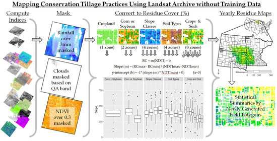
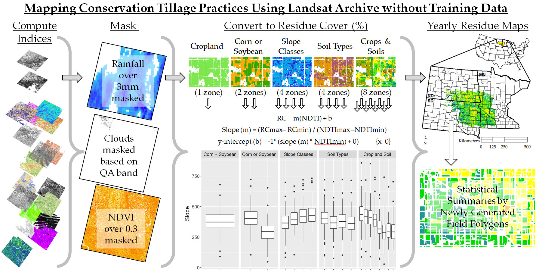
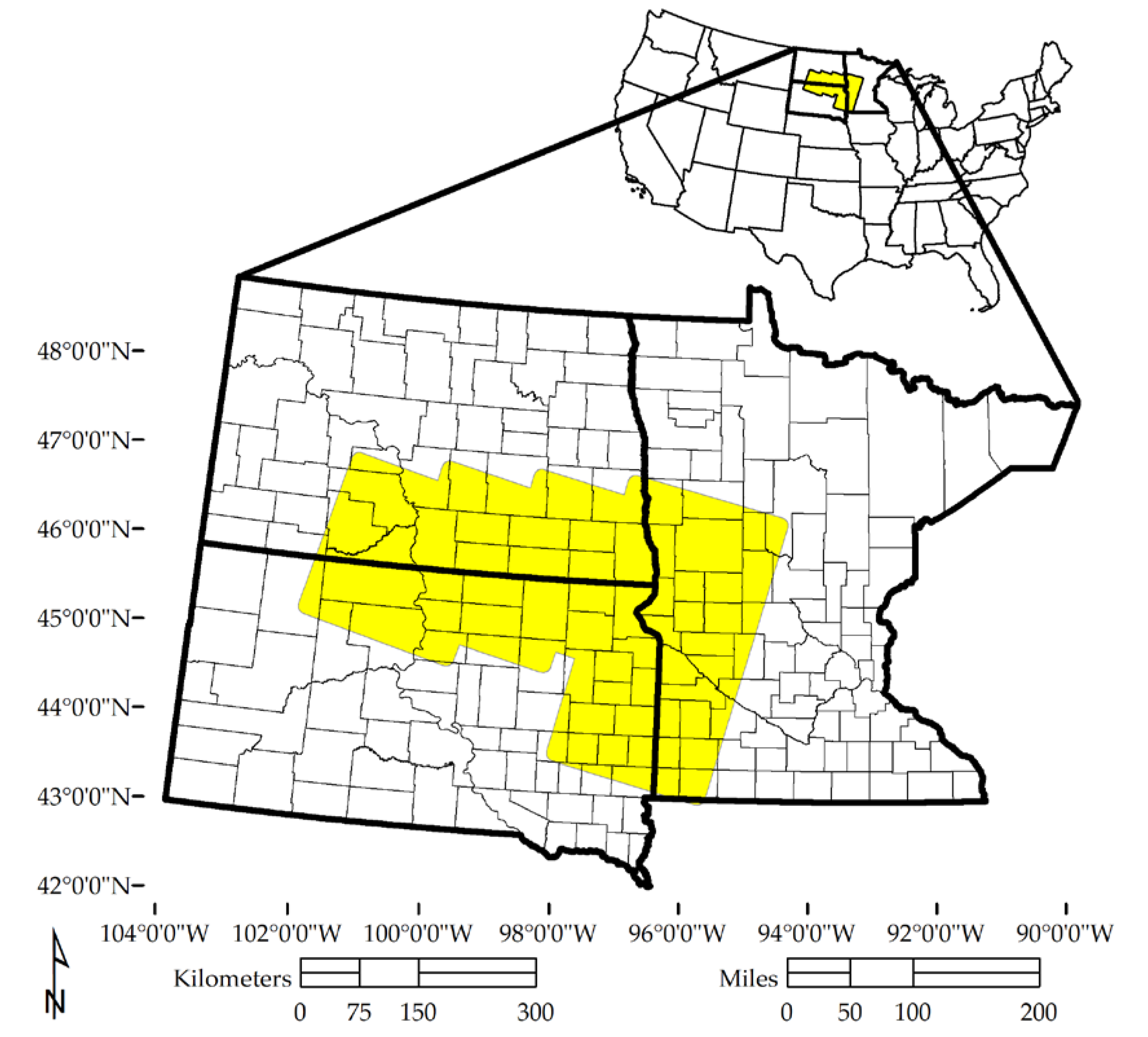
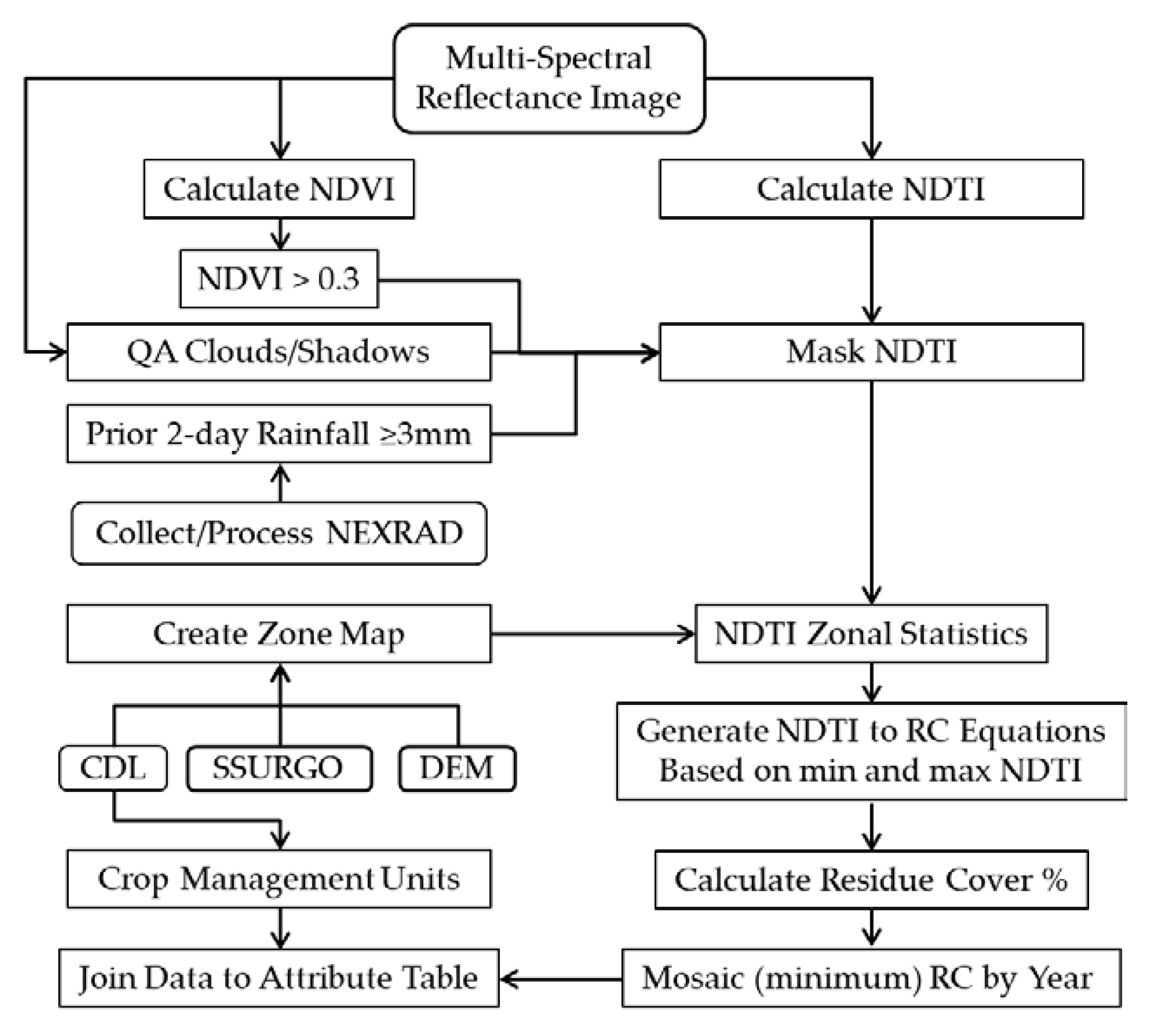
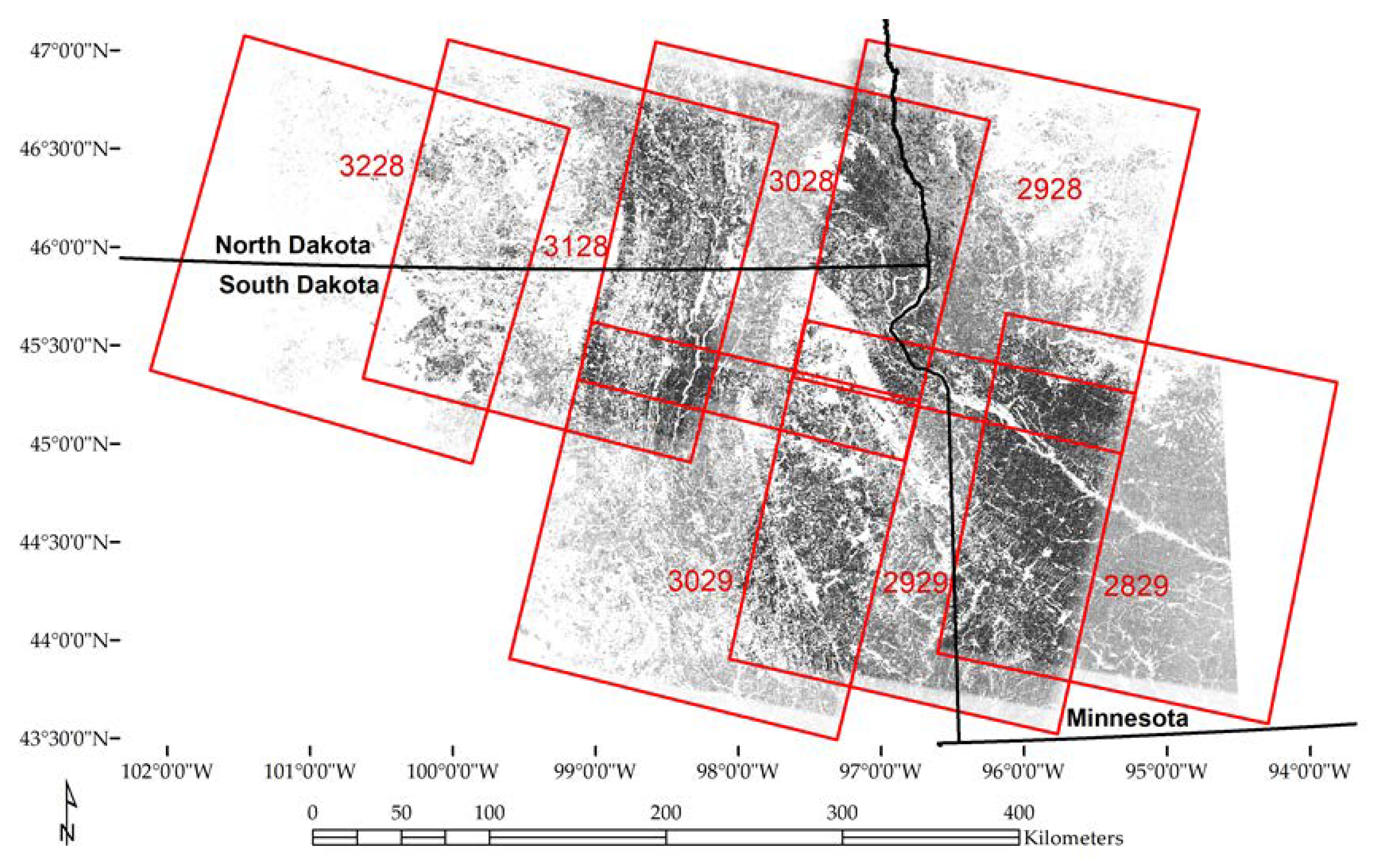
The USDA Environmental Quality Incentives Program (EQIP) provides financial assistance to encourage producers to adopt conservation practices. Historically, one of the most common practices is conservation tillage, primarily the use of no-till planting. The objectives of this research were to determine crop residue using remote sensing, an indicator of tillage intensity, without using training data and examine its performance at the field level. The Landsat Thematic Mapper Series platforms can provide global temporal and spatial coverage beginning in the mid-1980s. In this study, we used the Normalized Difference Tillage Index (NDTI), which has proved to be robust and accurate in studies built upon training datasets. We completed 10 years of residue maps for the 150,000 km2 study area in South Dakota, North Dakota, and Minnesota and validated the results against field-level survey data. The overall accuracy was between 64% and 78% with additional improvement when survey points with suspect geolocation and satellite tillage estimates with fewer than four dates of Landsat images were excluded. This study demonstrates that, with Landsat Archive available at no cost, researchers can implement retrospective, untrained estimates of conservation tillage with sufficient accuracy for some applications.
Keywords: crop residue cover; plant litter; non-photosynthetic vegetation; soil disturbance; normalized difference tillage index (NDTI); environmental quality incentives program (EQIP) crop residue cover; plant litter; non-photosynthetic vegetation; soil disturbance; normalized difference tillage index (NDTI); environmental quality incentives program (EQIP)
Graphical Abstract