Article

A Method for Dehazing Images Obtained from Low Altitudes during High-Pressure Fronts


by
Damian Wierzbicki
*,
Michal Kedzierski
and
Aleksandra Sekrecka
Institute of Geospatial Engineering and Geodesy, Faculty of Civil Engineering and Geodesy, Military University of Technology, 01-476 Warsaw, Poland
*
Author to whom correspondence should be addressed.
Remote Sens. 2020, 12(1), 25; https://doi.org/10.3390/rs12010025
Submission received: 28 October 2019 / Revised: 23 November 2019 / Accepted: 18 December 2019 / Published: 19 December 2019
(This article belongs to the Special Issue Drone Remote Sensing)

Abstract

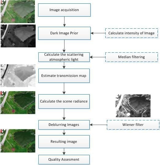
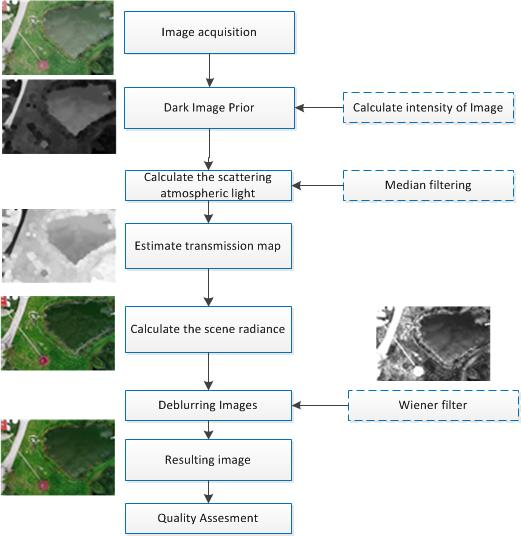
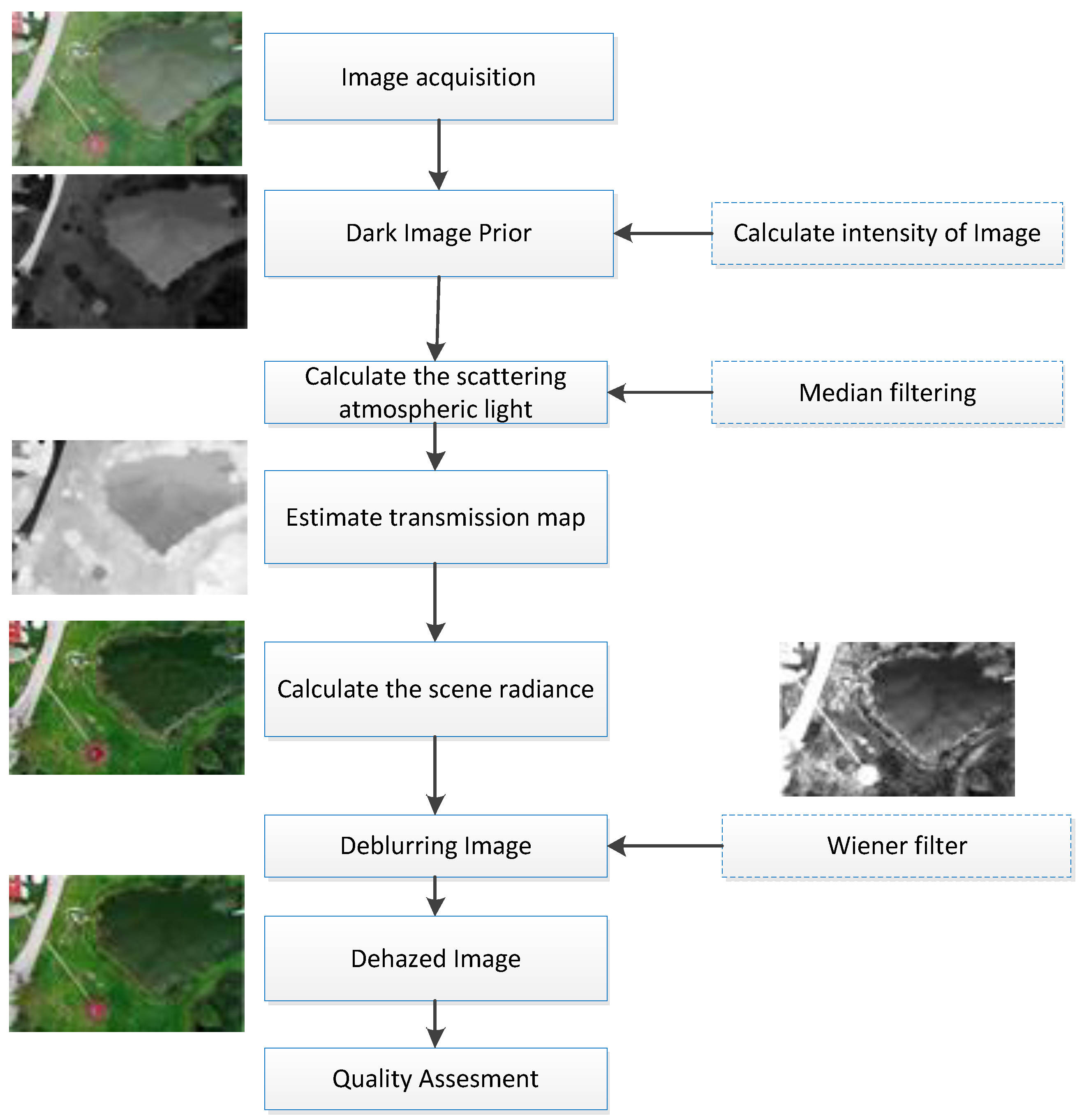
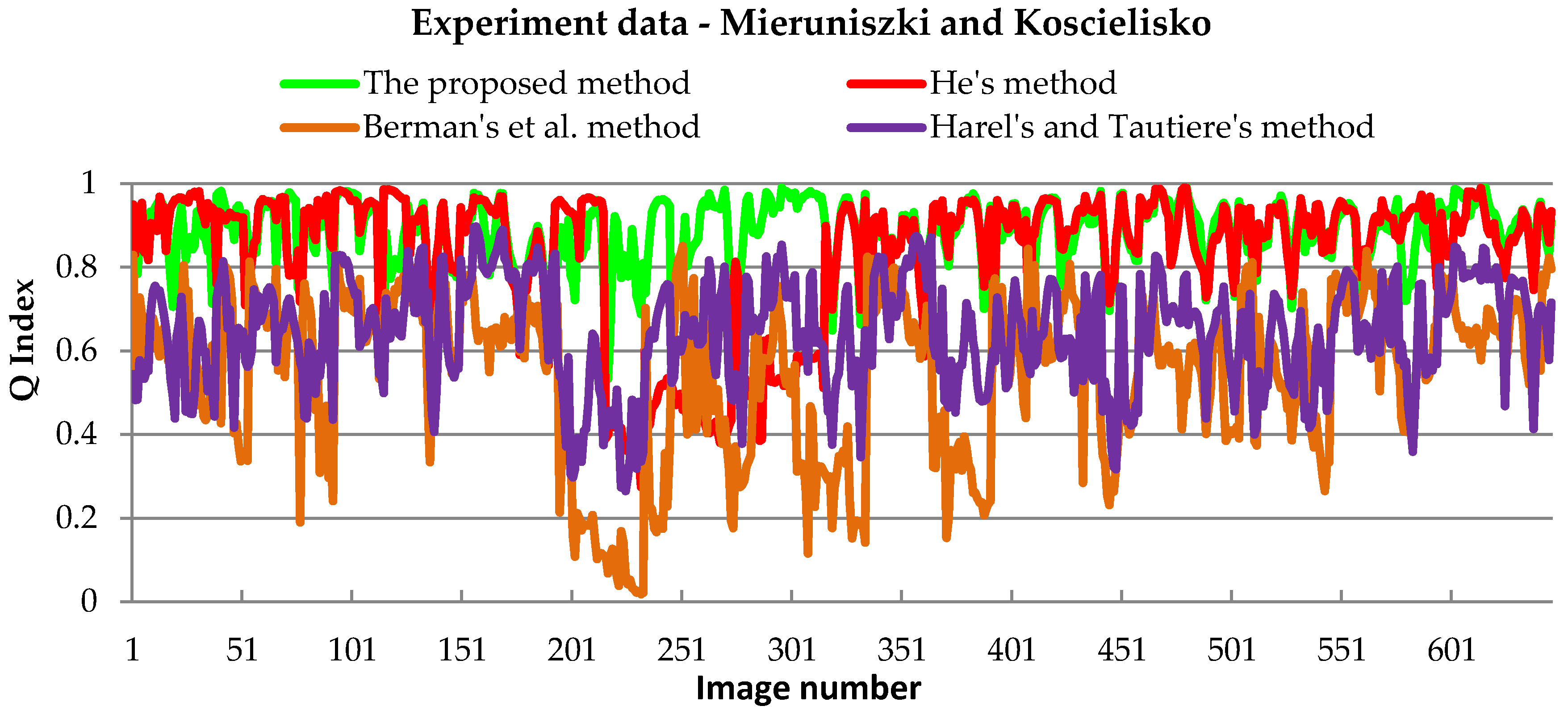
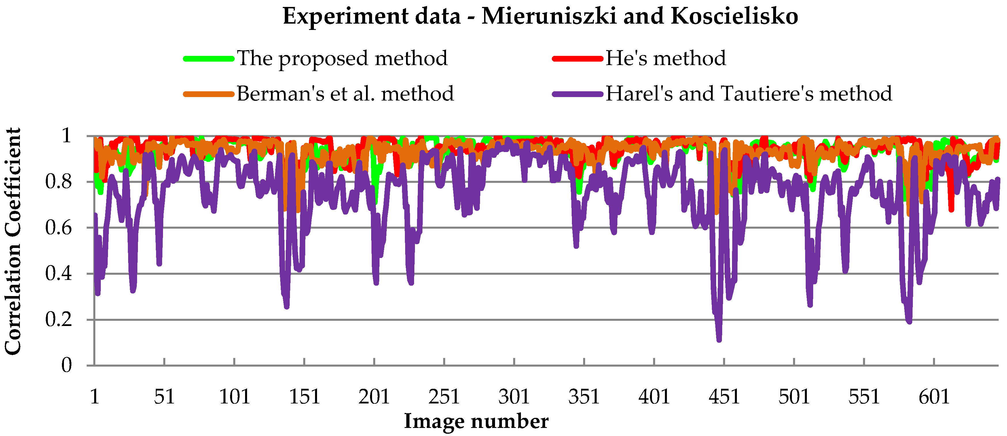
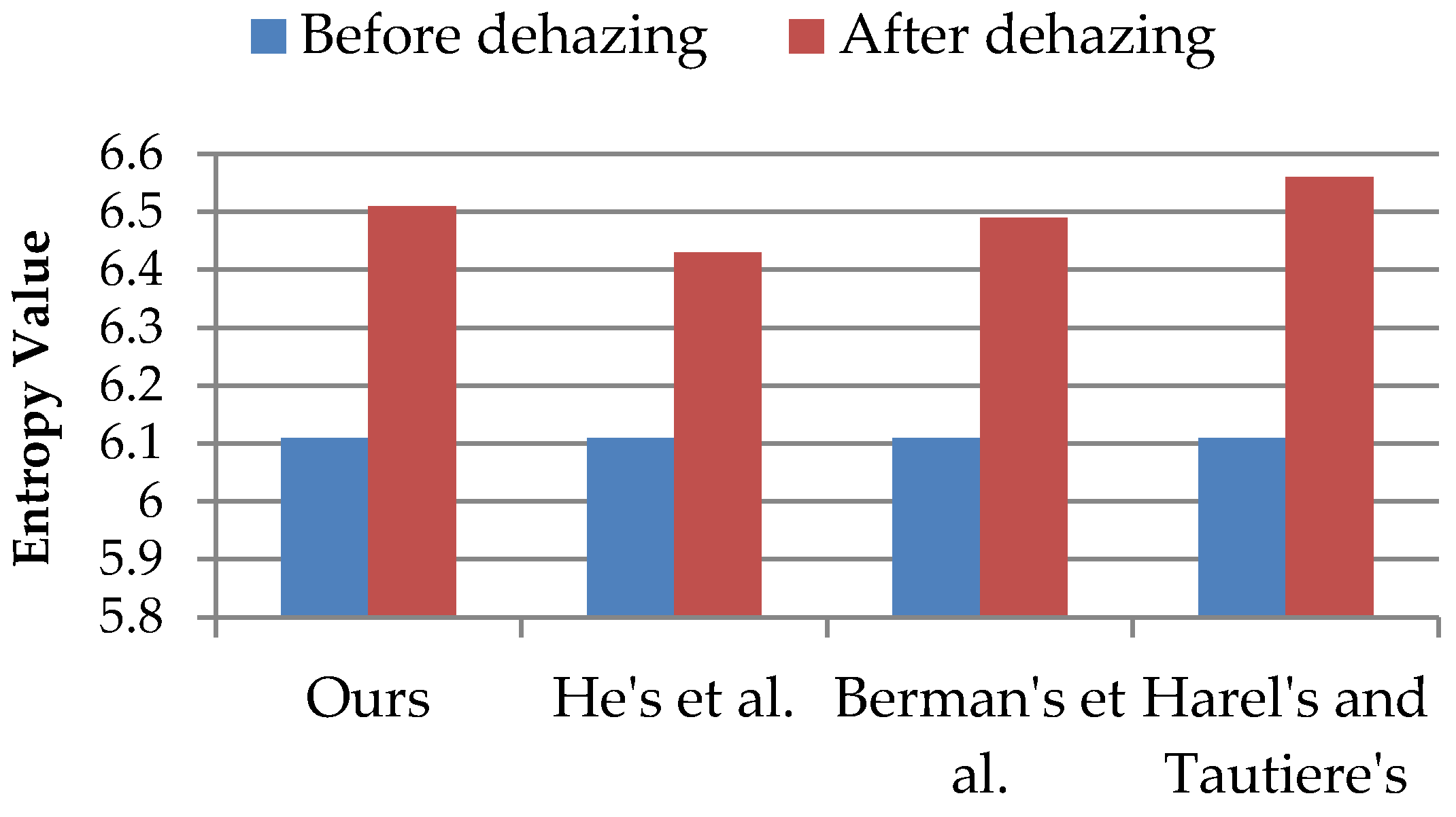
Unmanned aerial vehicles (UAVs) equipped with compact digital cameras and multi-spectral sensors are used in remote sensing applications and environmental studies. Recently, due to the reduction of costs of these types of system, the increase in their reliability, and the possibility of image acquisition with very high spatial resolution, low altitudes imaging is used in many qualitative and quantitative analyses in remote sensing. Also, there has been an enormous development in the processing of images obtained with UAV platforms. Until now, research on UAV imaging has focused mainly on aspects of geometric and partially radiometric correction. And consideration of the effects of low atmosphere and haze on images has so far been neglected due to the low operating altitudes of UAVs. However, it proved to be the case that the path of sunlight passing through various layers of the low atmosphere causes refraction and causes incorrect registration of reflection by the imaging sensor. Images obtained from low altitudes may be degraded due to the scattering process caused by fog and weather conditions. These negative atmospheric factors cause a reduction in contrast and colour reproduction in the image, thereby reducing its radiometric quality. This paper presents a method of dehazing images acquired with UAV platforms. As part of the research, a methodology for imagery acquisition from a low altitude was introduced, and methods of atmospheric calibration based on the atmosphere scattering model were presented. Moreover, a modified dehazing model using Wiener’s adaptive filter was presented. The accuracy assessment of the proposed dehazing method was made using qualitative indices such as structural similarity (SSIM), peak signal to noise ratio (PSNR), root mean square error (RMSE), Correlation Coefficient, Universal Image Quality Index (Q index) and Entropy. The experimental results showed that using the proposed dehazing method allowed the removal of the negative impact of haze and improved image quality, based on the PSNR index, even by an average of 34% compared to other similar methods. The obtained results show that our approach allows processing of the images to remove the negative impact of the low atmosphere. Thanks to this technique, it is possible to obtain a dehazing effect on images acquired at high humidity and radiation fog. The results from this study can provide better quality images for remote sensing analysis.
Keywords: remote sensing; UAV; geoscience; dehazing images; quality assessment; meteorology remote sensing; UAV; geoscience; dehazing images; quality assessment; meteorology
Graphical Abstract