Article

Multi-Level Classification Based on Trajectory Features of Time Series for Monitoring Impervious Surface Expansions


1
School of Geography and Ocean Science, Nanjing University, Nanjing 210023, China
2
Jiangsu Provincial Key Laboratory of Geographic Information Science and Technology, Nanjing University, Nanjing 210023, China
3
Jiangsu Center for Collaborative Innovation in Geographical Information Resource Development and Application, Nanjing 210023, China
4
Department of Geography, University of Wisconsin-Madison, Madison, WI 53706, USA
5
Center for Social Sciences, Southern University of Science and Technology, Shenzhen 518055, China
*
Author to whom correspondence should be addressed.
Remote Sens. 2019, 11(6), 640; https://doi.org/10.3390/rs11060640
Submission received: 23 January 2019 / Revised: 7 March 2019 / Accepted: 9 March 2019 / Published: 15 March 2019

Abstract

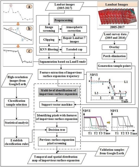
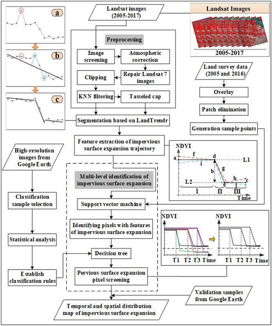
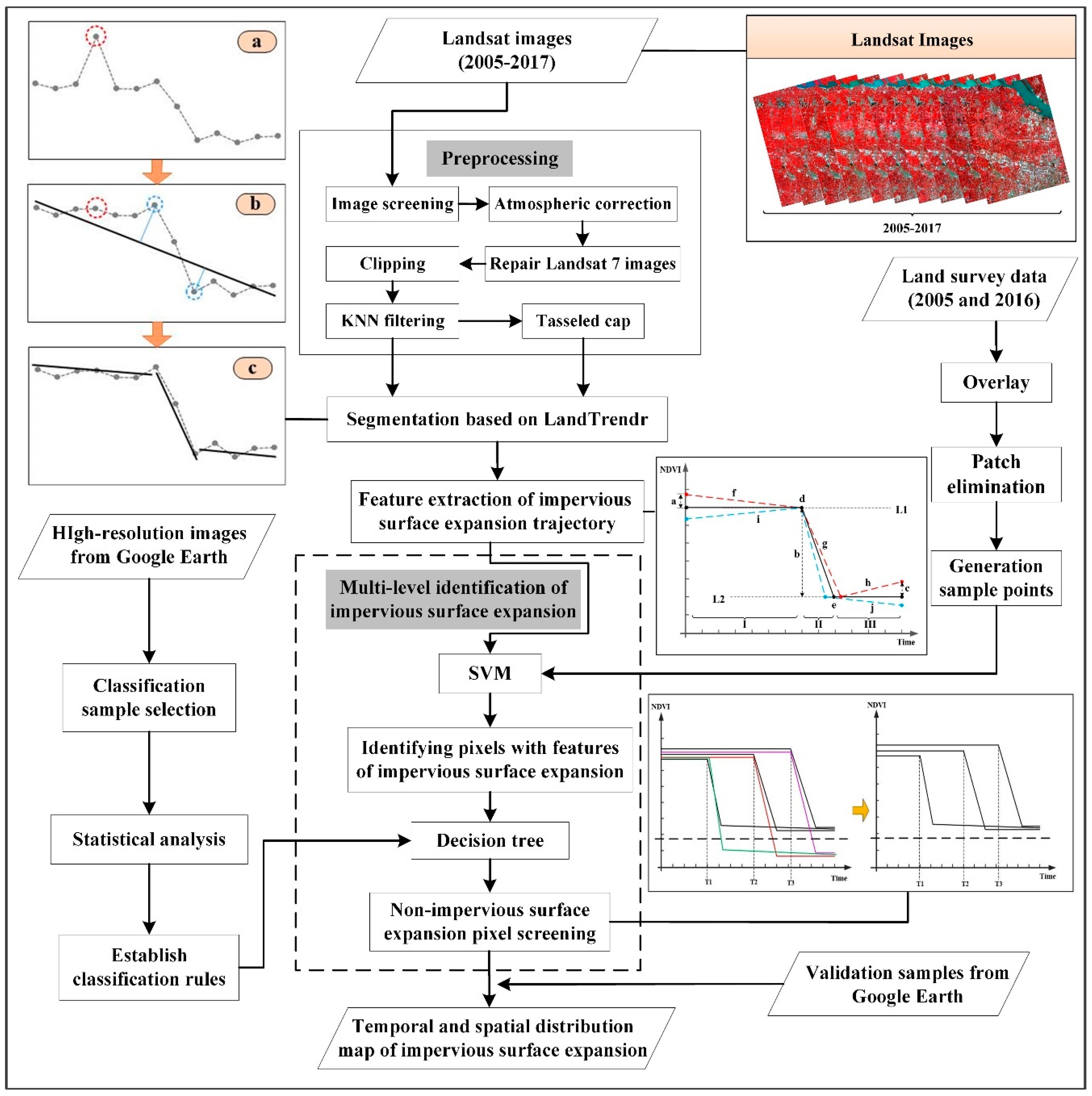
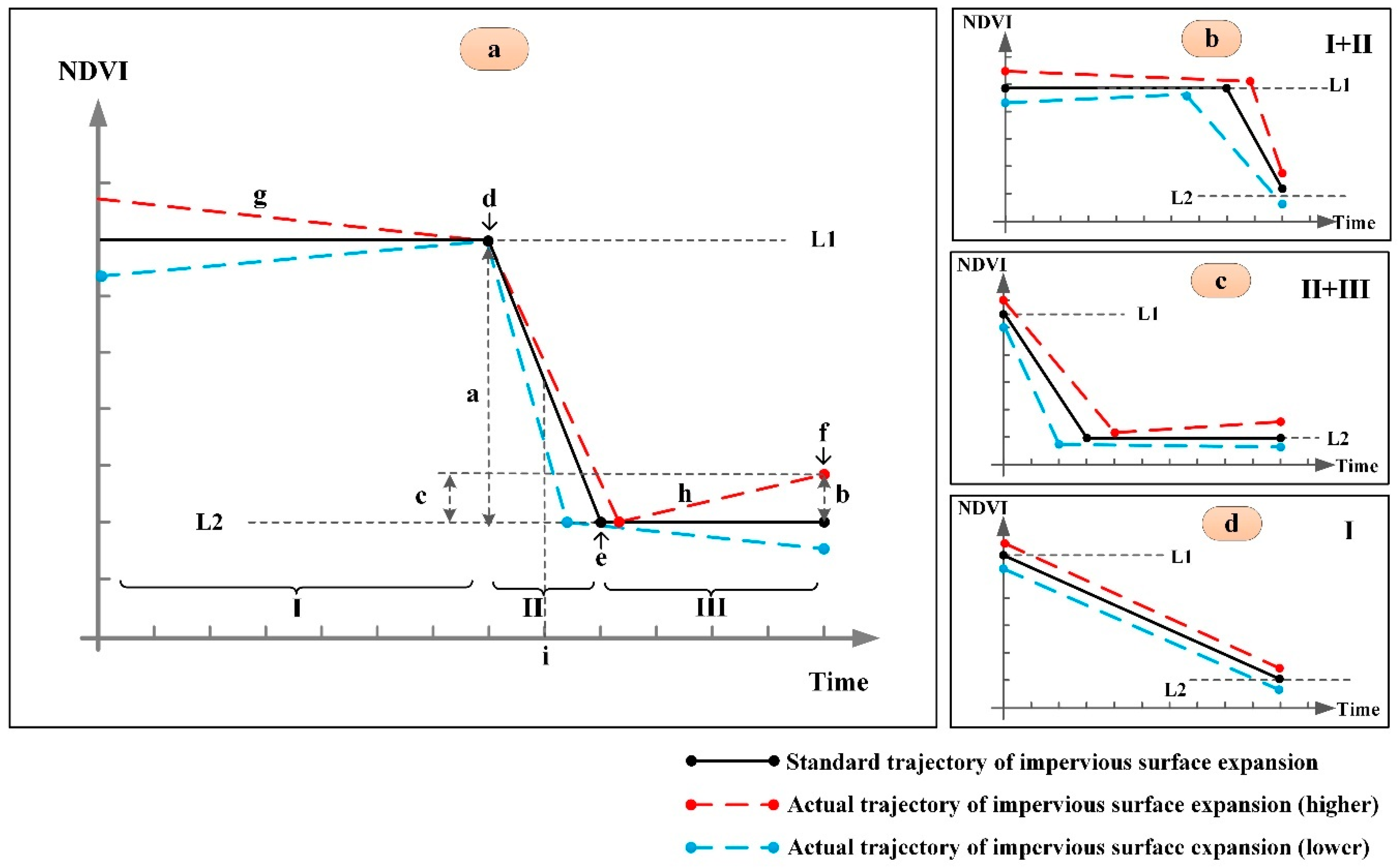
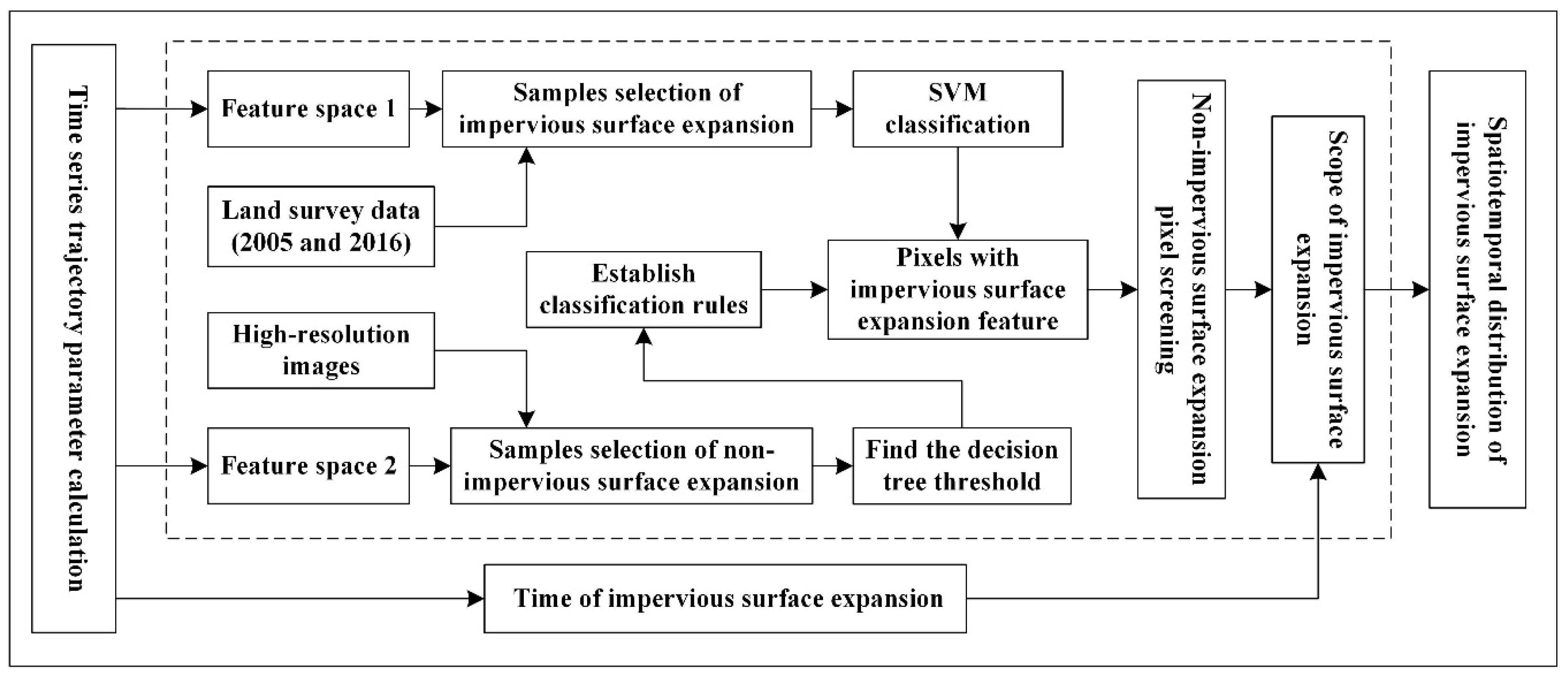
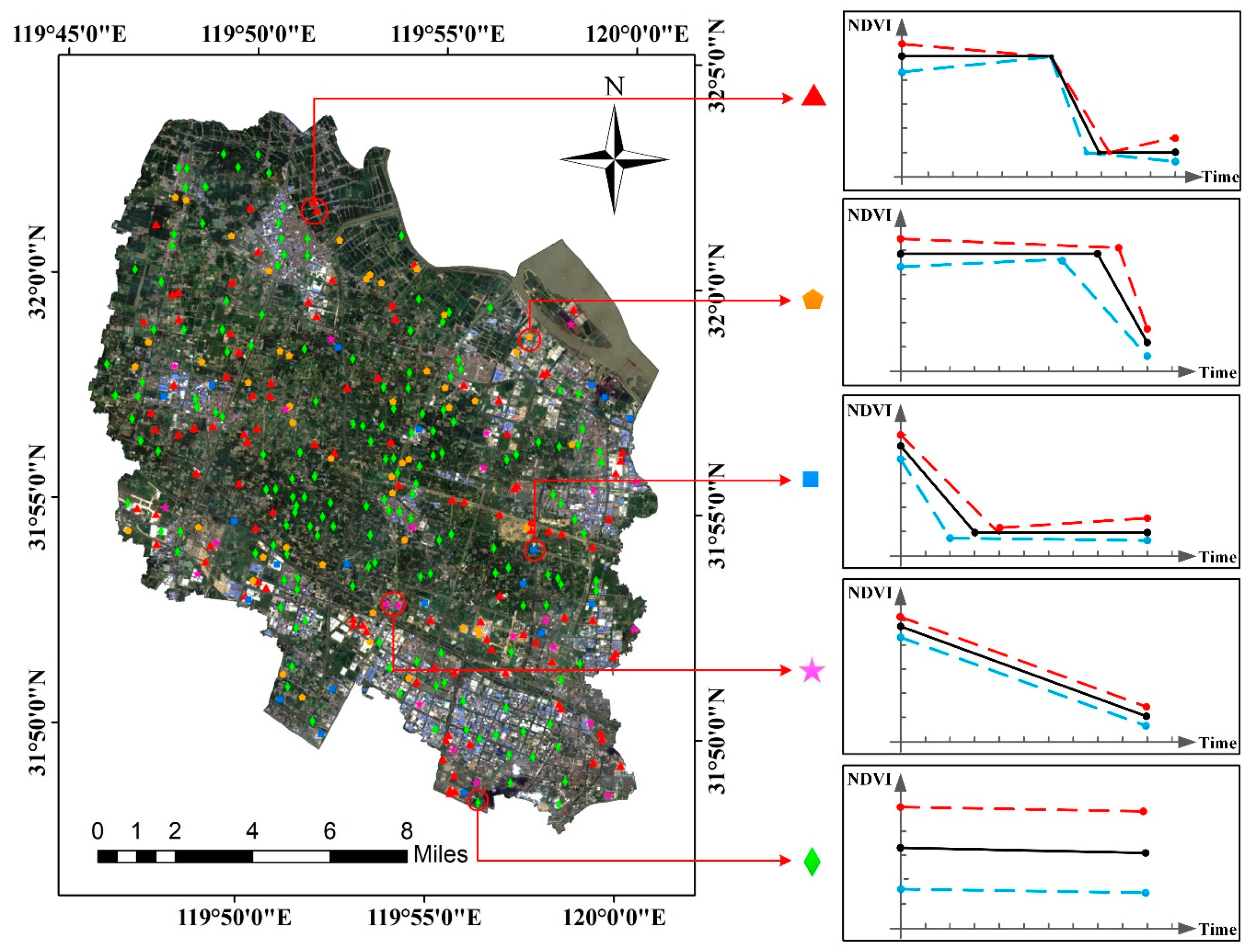
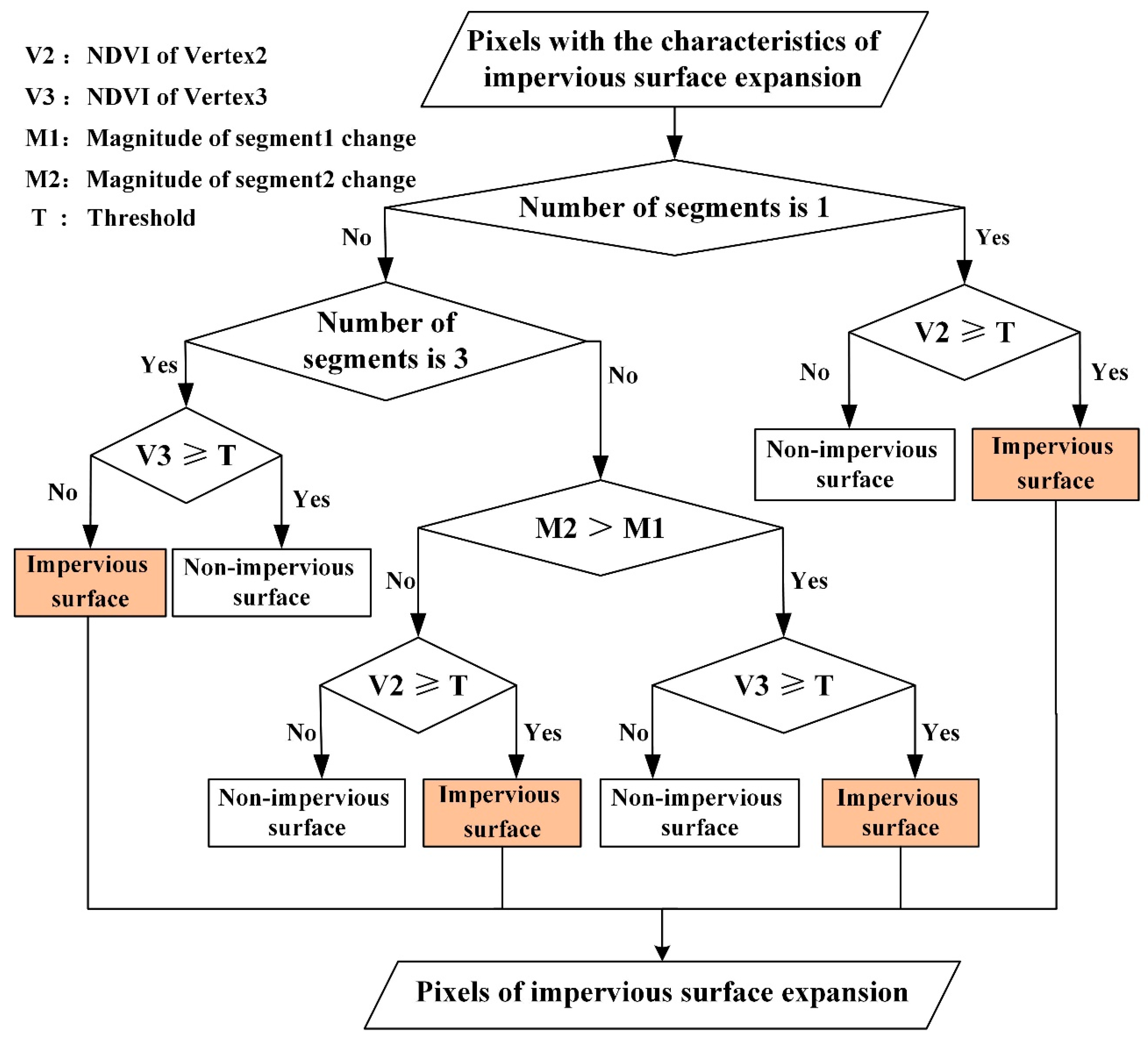
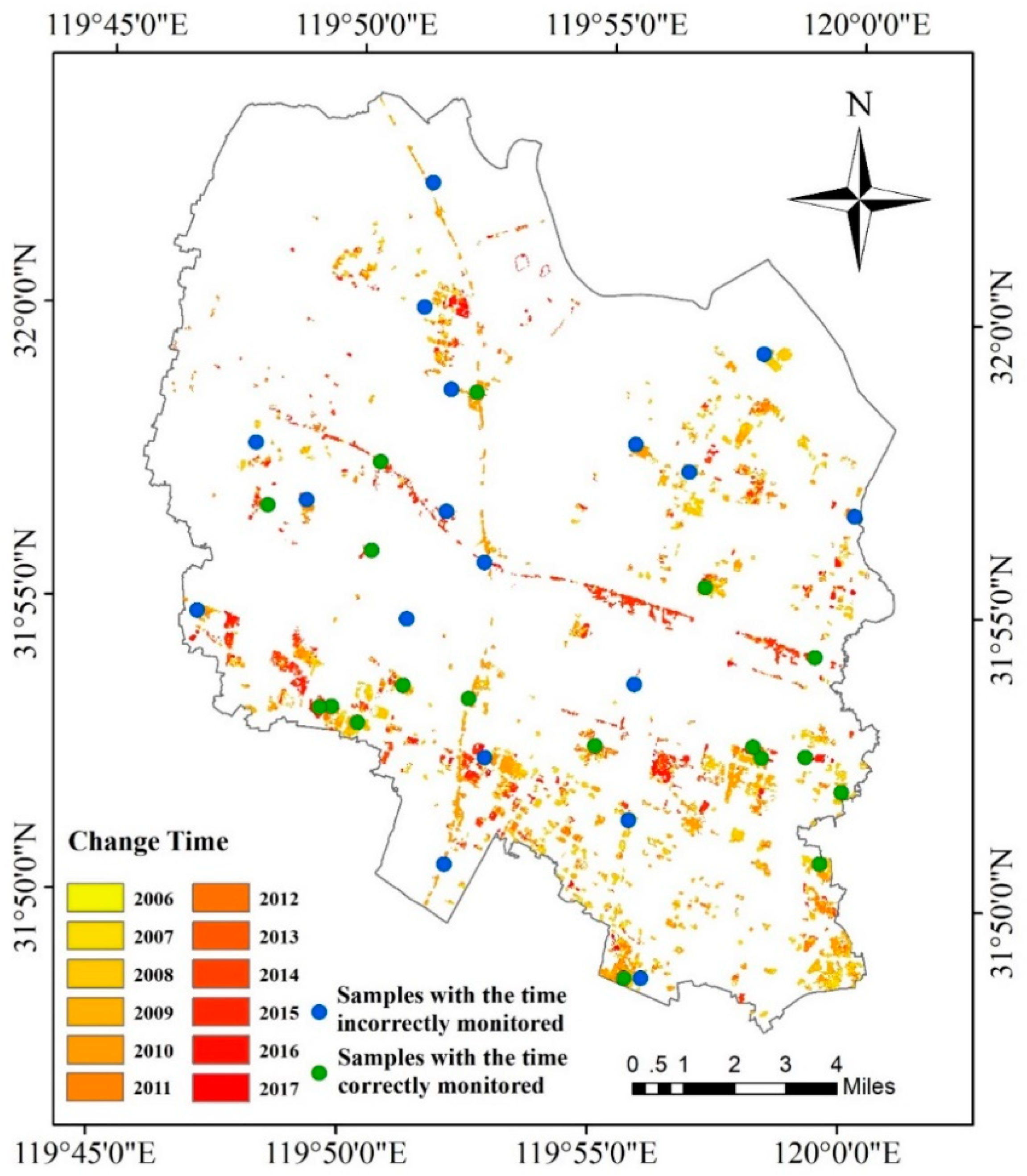
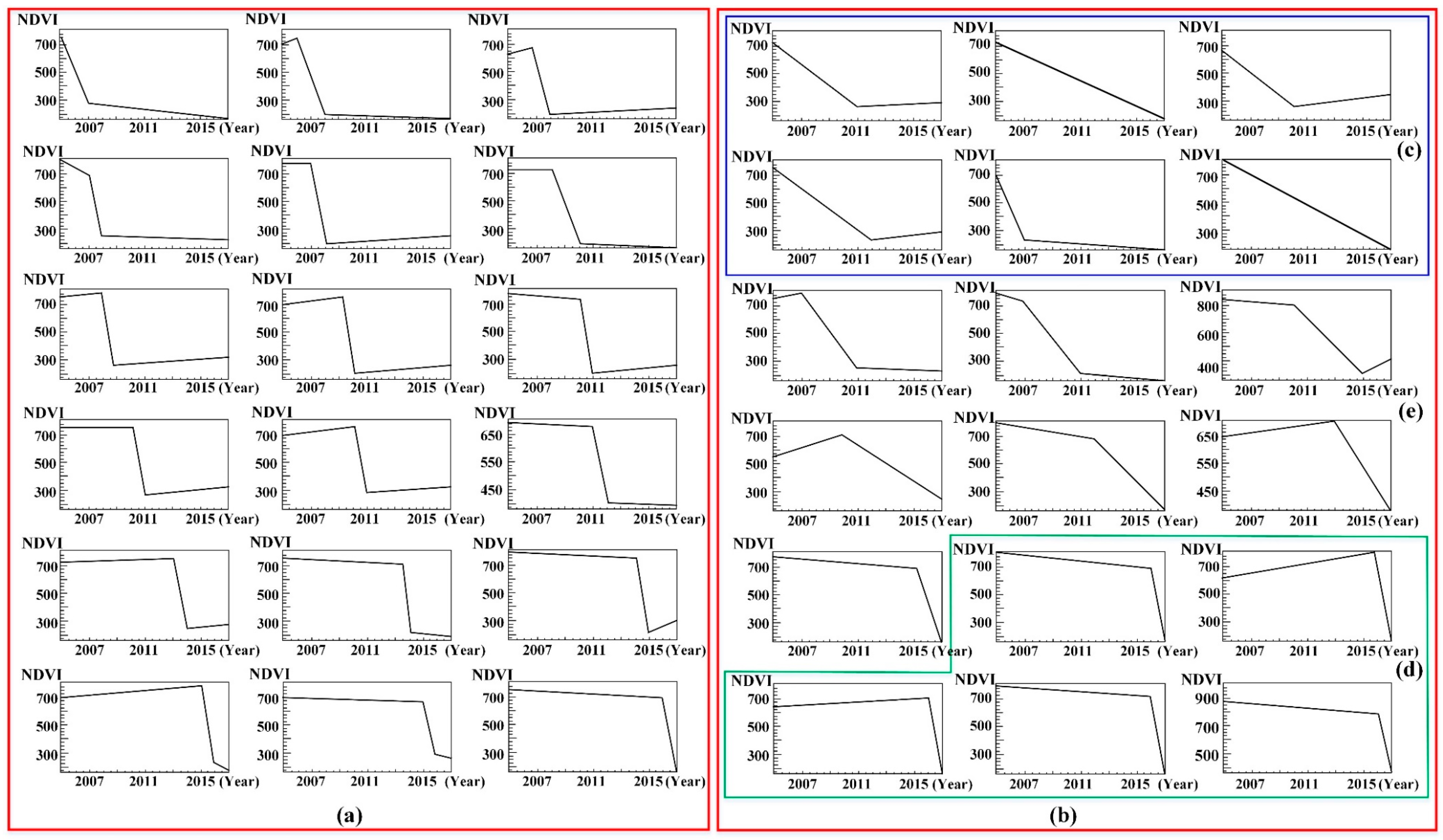
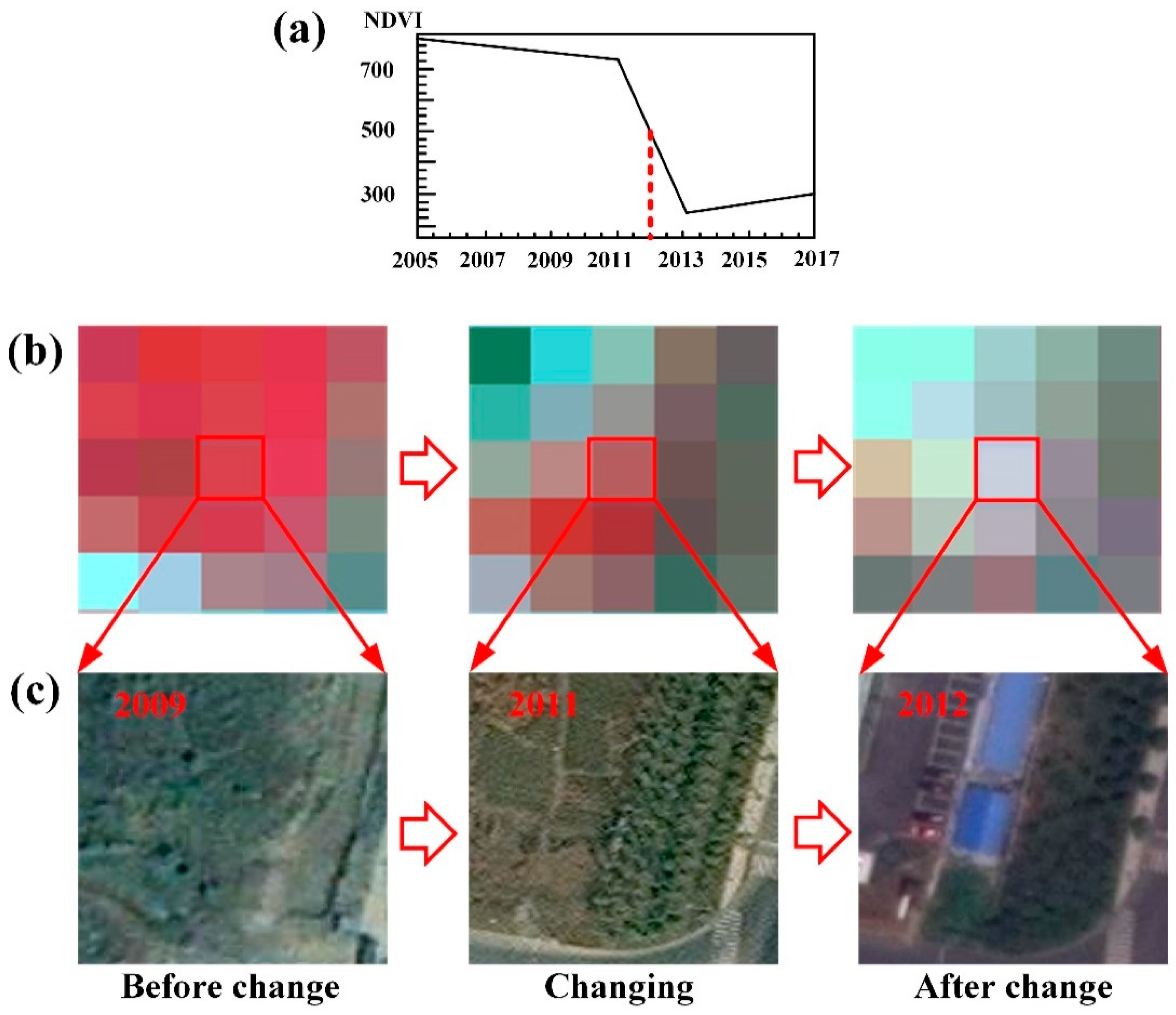
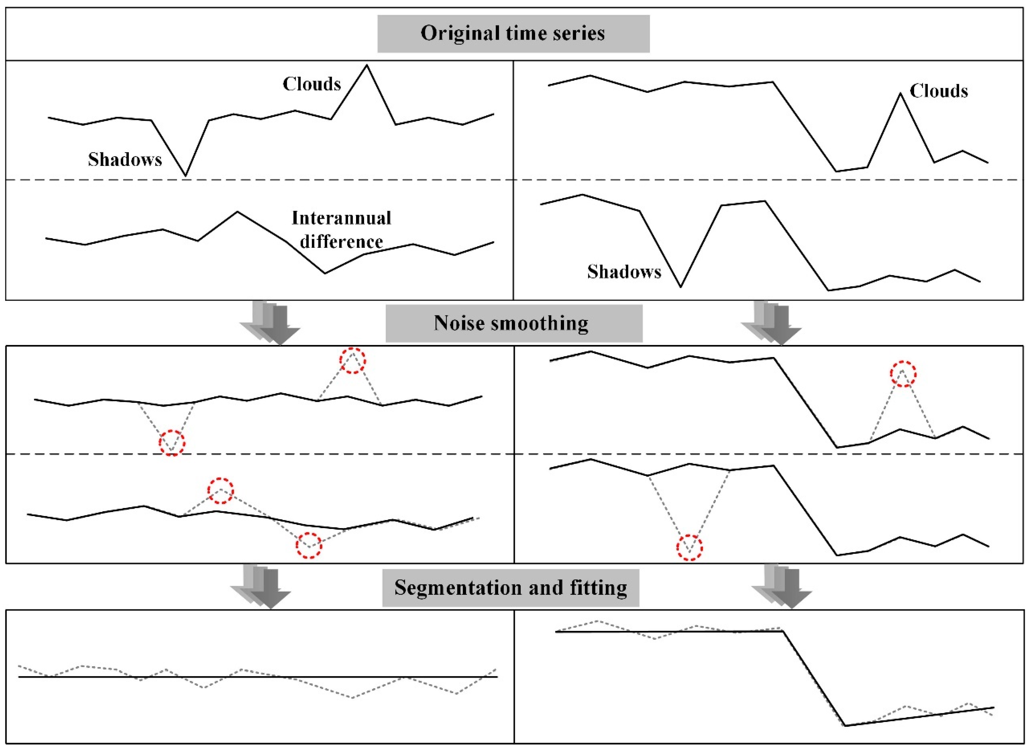
As urbanization has profound effects on global environmental changes, quick and accurate monitoring of the dynamic changes in impervious surfaces is of great significance for environmental protection. The increased spatiotemporal resolution of imagery makes it possible to construct time series to obtain long-time-period and high-accuracy information about impervious surface expansion. In this study, a three-step monitoring method based on time series trajectory segmentation was developed to extract impervious surface expansion using Landsat time series and was applied to the Xinbei District, Changzhou, China, from 2005 to 2017. Firstly, the original time series was segmented and fitted to remove the noise caused by clouds, shadows, and interannual differences, leaving only the trend information. Secondly, the time series trajectory features of impervious surface expansion were described using three phases and four types with nine parameters by analyzing the trajectory characteristics. Thirdly, a multi-level classification method was used to determine the scope of impervious surface expansion, and the expansion time was superimposed to obtain a spatiotemporal distribution map. The proposed method yielded an overall accuracy of 90.58% and a Kappa coefficient of 0.90, demonstrating that Landsat time series remote sensing images could be used effectively in this approach to monitor the spatiotemporal expansion of impervious surfaces.
Keywords: image time series; LandTrendr; decision tree; support vector machine (SVM); impervious surface expansion; Changzhou image time series; LandTrendr; decision tree; support vector machine (SVM); impervious surface expansion; Changzhou
Graphical Abstract