Article

Urban Flood Mapping Using SAR Intensity and Interferometric Coherence via Bayesian Network Fusion


1
German Remote Sensing Data Center (DFD), German Aerospace Center (DLR), Oberpfaffenhofen, Münchener Straße 20, 82234 Weßling, Germany
2
Department of Geography, Ludwig-Maximilians-Universität München, Luisenstraße 37, 80333 München, Germany
3
Microwaves and Radar Institute, German Aerospace Center (DLR), Oberpfaffenhofen, Münchener Straße 20, 82234 Weßling, Germany
4
Department of Electrical Engineering and Information Systems, School of Engineering, The University of Tokyo, 7-3-1 Hongo, Bunkyo-ku, Tokyo 113-8656, Japan
*
Author to whom correspondence should be addressed.
Remote Sens. 2019, 11(19), 2231; https://doi.org/10.3390/rs11192231
Submission received: 27 August 2019 / Revised: 19 September 2019 / Accepted: 23 September 2019 / Published: 25 September 2019
(This article belongs to the Special Issue Flood Mapping in Urban and Vegetated Areas)

Abstract

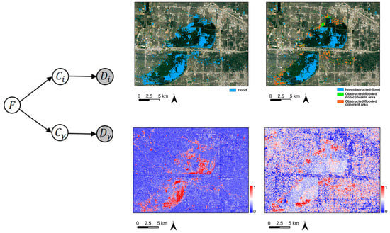
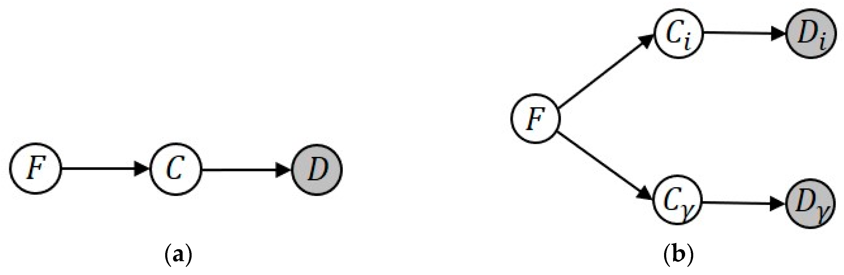
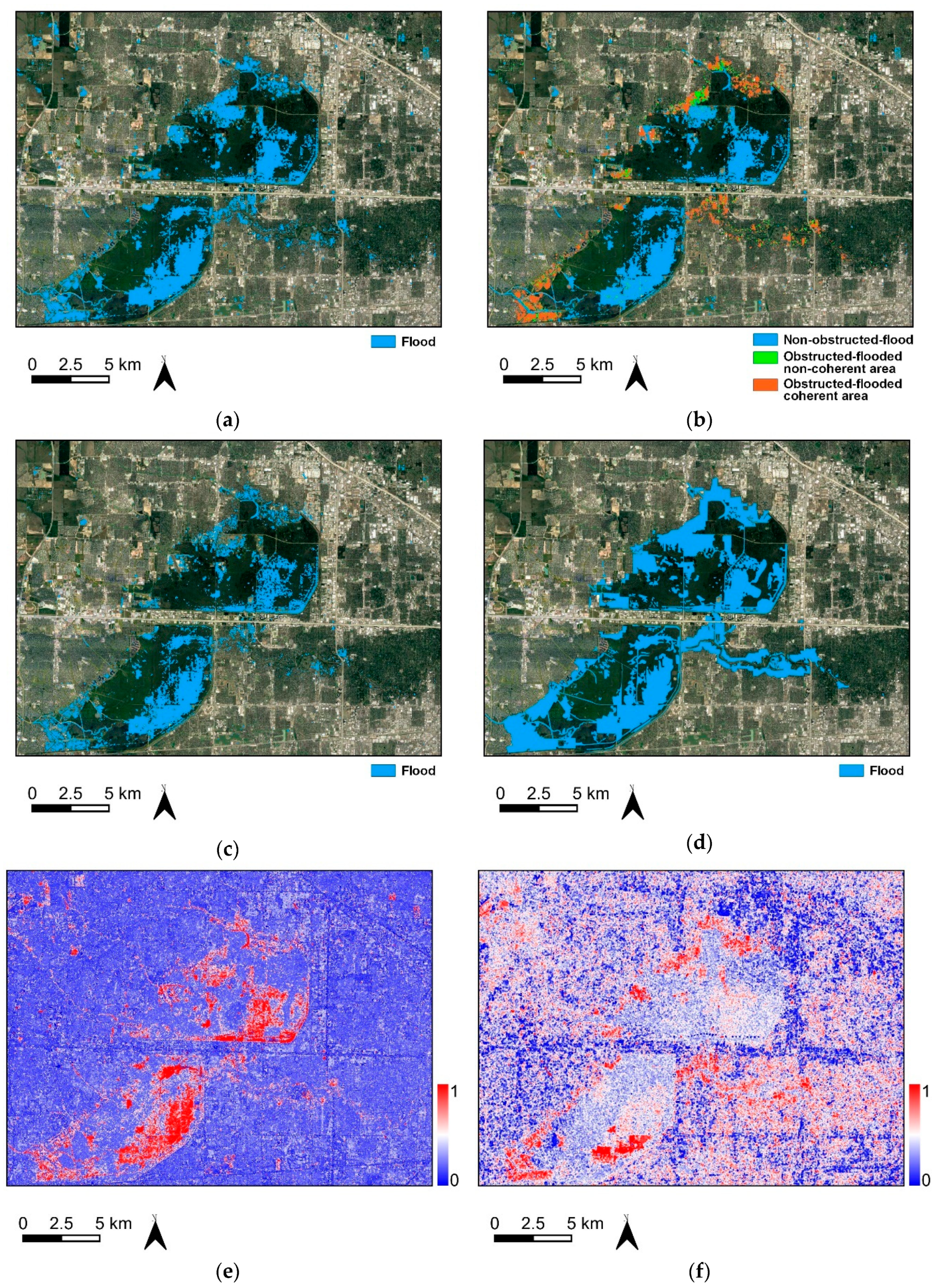
Synthetic Aperture Radar (SAR) observations are widely used in emergency response for flood mapping and monitoring. However, the current operational services are mainly focused on flood in rural areas and flooded urban areas are less considered. In practice, urban flood mapping is challenging due to the complicated backscattering mechanisms in urban environments and in addition to SAR intensity other information is required. This paper introduces an unsupervised method for flood detection in urban areas by synergistically using SAR intensity and interferometric coherence under the Bayesian network fusion framework. It leverages multi-temporal intensity and coherence conjunctively to extract flood information of varying flooded landscapes. The proposed method is tested on the Houston (US) 2017 flood event with Sentinel-1 data and Joso (Japan) 2015 flood event with ALOS-2/PALSAR-2 data. The flood maps produced by the fusion of intensity and coherence and intensity alone are validated by comparison against high-resolution aerial photographs. The results show an overall accuracy of 94.5% (93.7%) and a kappa coefficient of 0.68 (0.60) for the Houston case, and an overall accuracy of 89.6% (86.0%) and a kappa coefficient of 0.72 (0.61) for the Joso case with the fusion of intensity and coherence (only intensity). The experiments demonstrate that coherence provides valuable information in addition to intensity in urban flood mapping and the proposed method could be a useful tool for urban flood mapping tasks.
Keywords: urban flood mapping; synthetic aperture radar (SAR); InSAR coherence; Bayesian network urban flood mapping; synthetic aperture radar (SAR); InSAR coherence; Bayesian network
Graphical Abstract