Article

Impact of Urban Climate Landscape Patterns on Land Surface Temperature in Wuhan, China

1
School of Urban Design, Wuhan University, Wuhan 430072, China
2
Collaborative Innovation Center of Geospatial Technology, Wuhan 430072, China
3
Faculty of Design and Architecture, Zhejiang Wanli University, Ningbo 315100, China
*
Author to whom correspondence should be addressed.
Sustainability 2017, 9(10), 1700; https://doi.org/10.3390/su9101700
Submission received: 3 August 2017 / Revised: 11 September 2017 / Accepted: 18 September 2017 / Published: 22 September 2017
(This article belongs to the Section Sustainable Urban and Rural Development)

Abstract

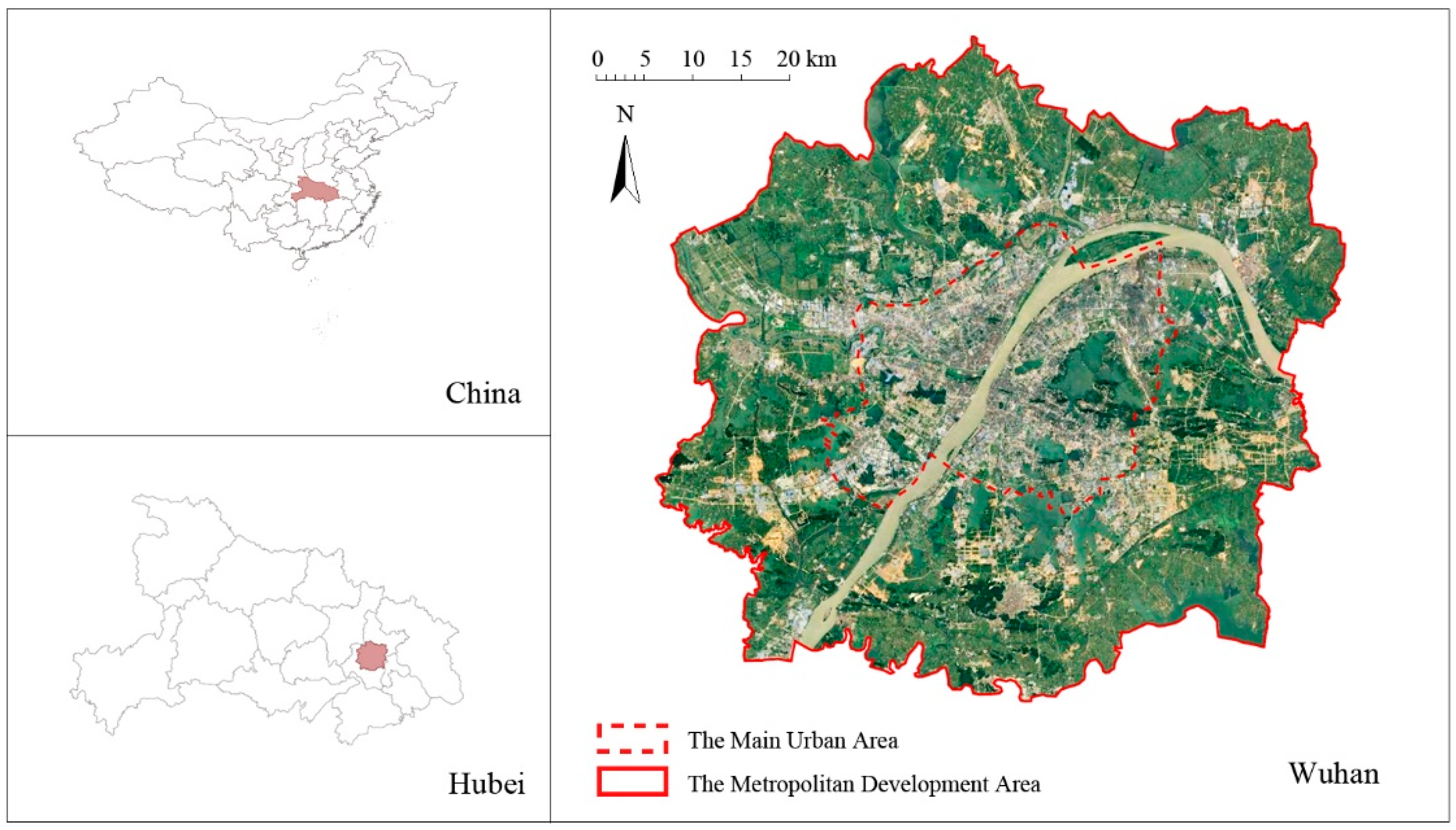
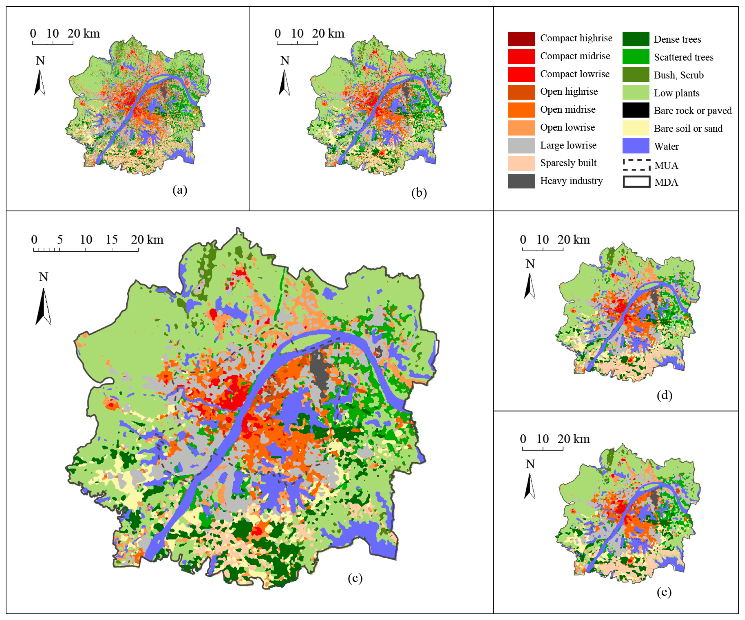
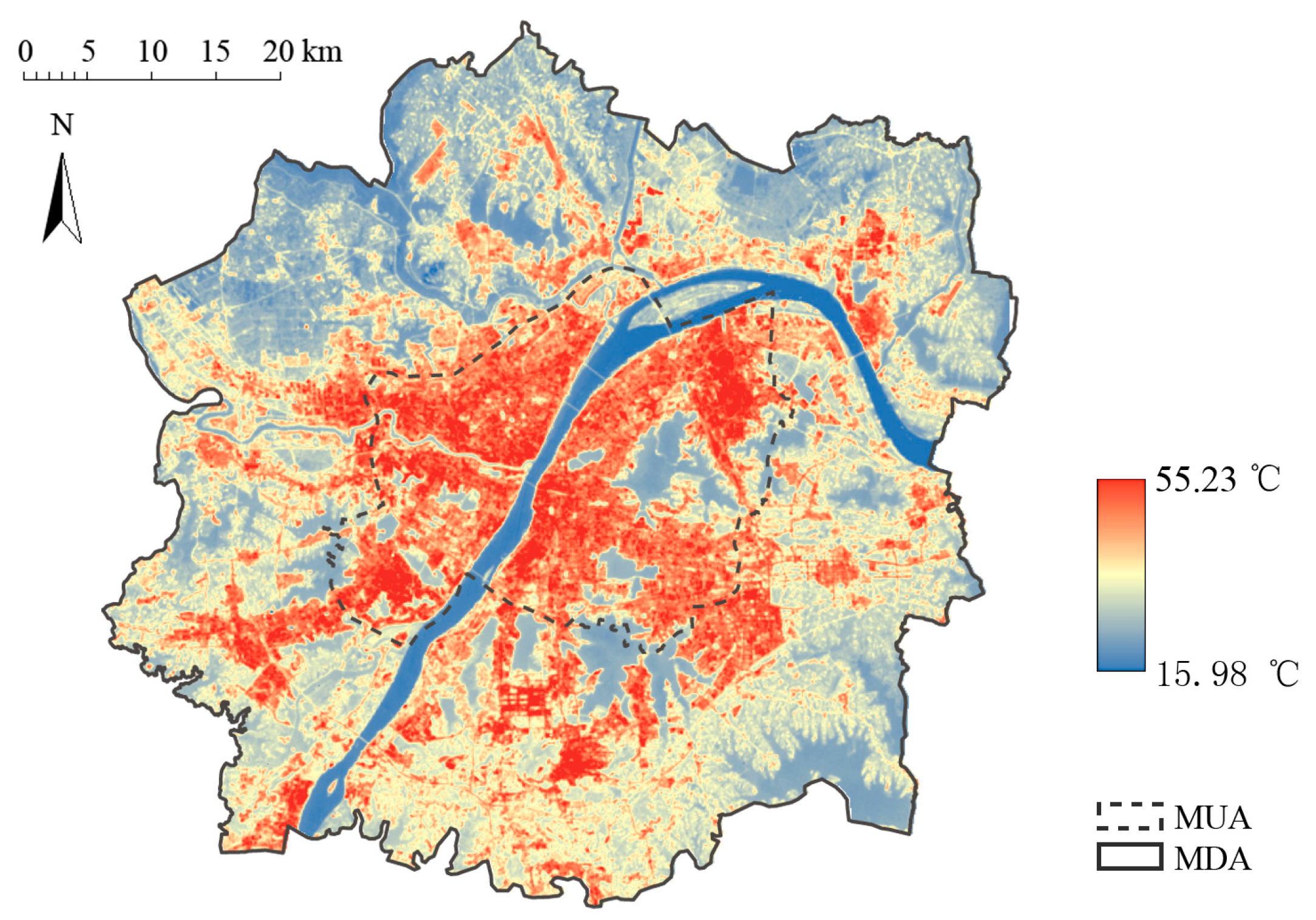
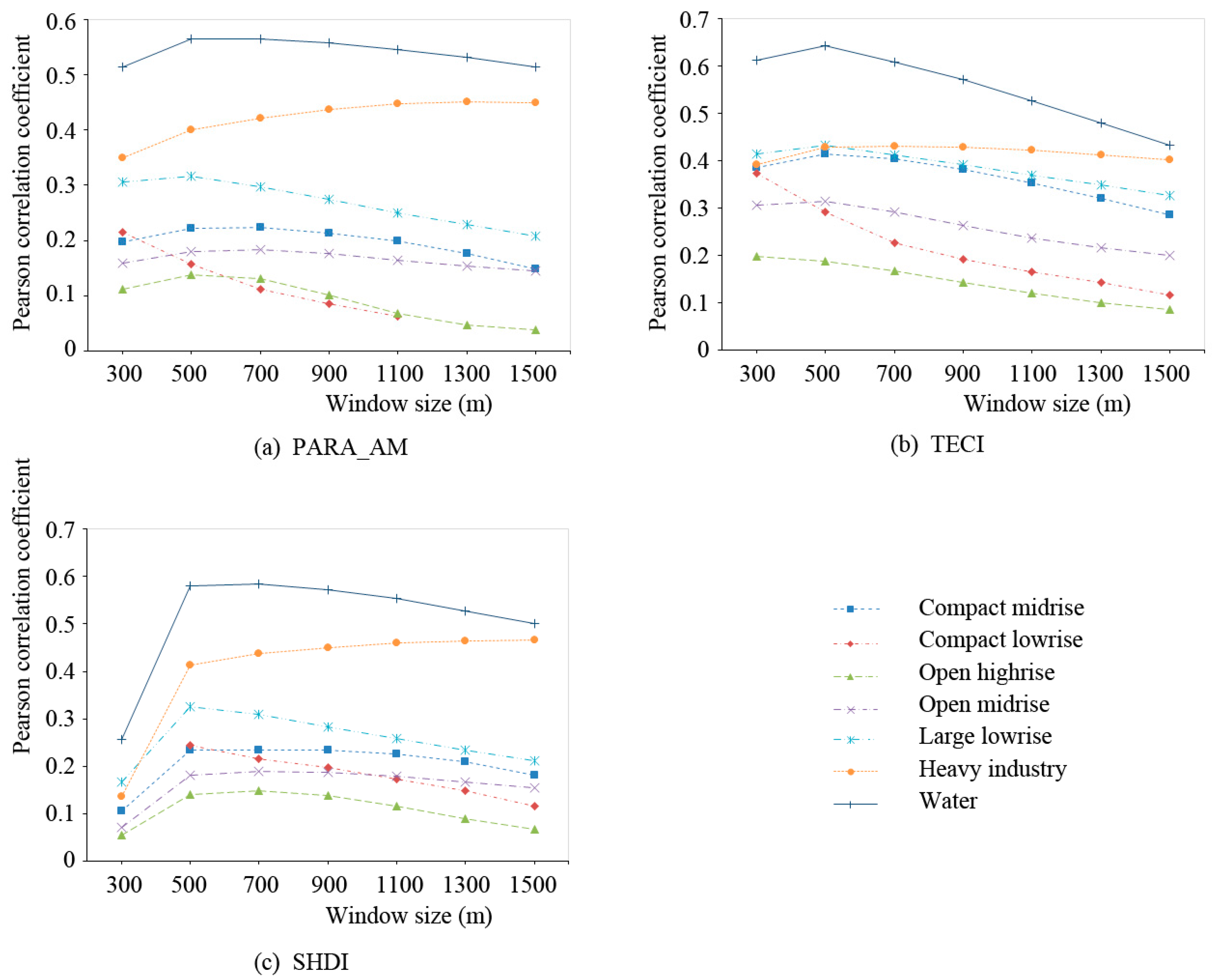
Facing urban warming, mitigation and adaptation strategies are not efficient enough to tackle excessive urban heat, especially at the local scale. The local climate zone (LCZ) classification scheme is employed to examine the diversity and complexity of the climate response within a city. This study suggests that zonal practice could be an efficient way to bridge the knowledge gap between climate research and urban planning. Urban surfaces classified by LCZ are designated as urban climate landscapes, which extends the LCZ concept to urban planning applications. Selecting Wuhan as a case study, we attempt to explore the climatic effect of landscape patterns. Thermal effects are compared across the urban climate landscapes, and the relationships between patch metrics and land surface temperature (LST) are quantified. Results indicate that climate landscape layout is a considerable factor impacting local urban climate. For Wuhan, 500 m is an optimal scale for exploring landscape pattern-temperature relationships. Temperature contrast between surrounding landscape patches has a major influence on LST. Generally, fragmental landscape patches contribute to heat release. For most climate landscape types, patch metrics also have a significant effect on thermal response. When three metrics are included as predictive variables, 53.3% of the heating intensity variation can be explained for the Large Lowrise landscape, while 57.4% of the cooling intensity variation can be explained for the Water landscape. Therefore, this article claims that land-based layout optimization strategy at local scale, which conforms to planning manner, should be taken into account in terms of heat management.
Keywords: urban climate; urban landscape; local climate zone (LCZ); urban heat island (UHI); mitigation and adaptation strategy; urban planning urban climate; urban landscape; local climate zone (LCZ); urban heat island (UHI); mitigation and adaptation strategy; urban planning