Article

Exploring Spatial-Temporal Patterns of Urban Human Mobility Hotspots
State Key Laboratory of Information Engineering in Surveying, Mapping, Remote and Sensing, Wuhan University, Wuhan 430079, China
*
Author to whom correspondence should be addressed.
Sustainability 2016, 8(7), 674; https://doi.org/10.3390/su8070674
Submission received: 8 May 2016 / Revised: 26 June 2016 / Accepted: 5 July 2016 / Published: 16 July 2016

Abstract

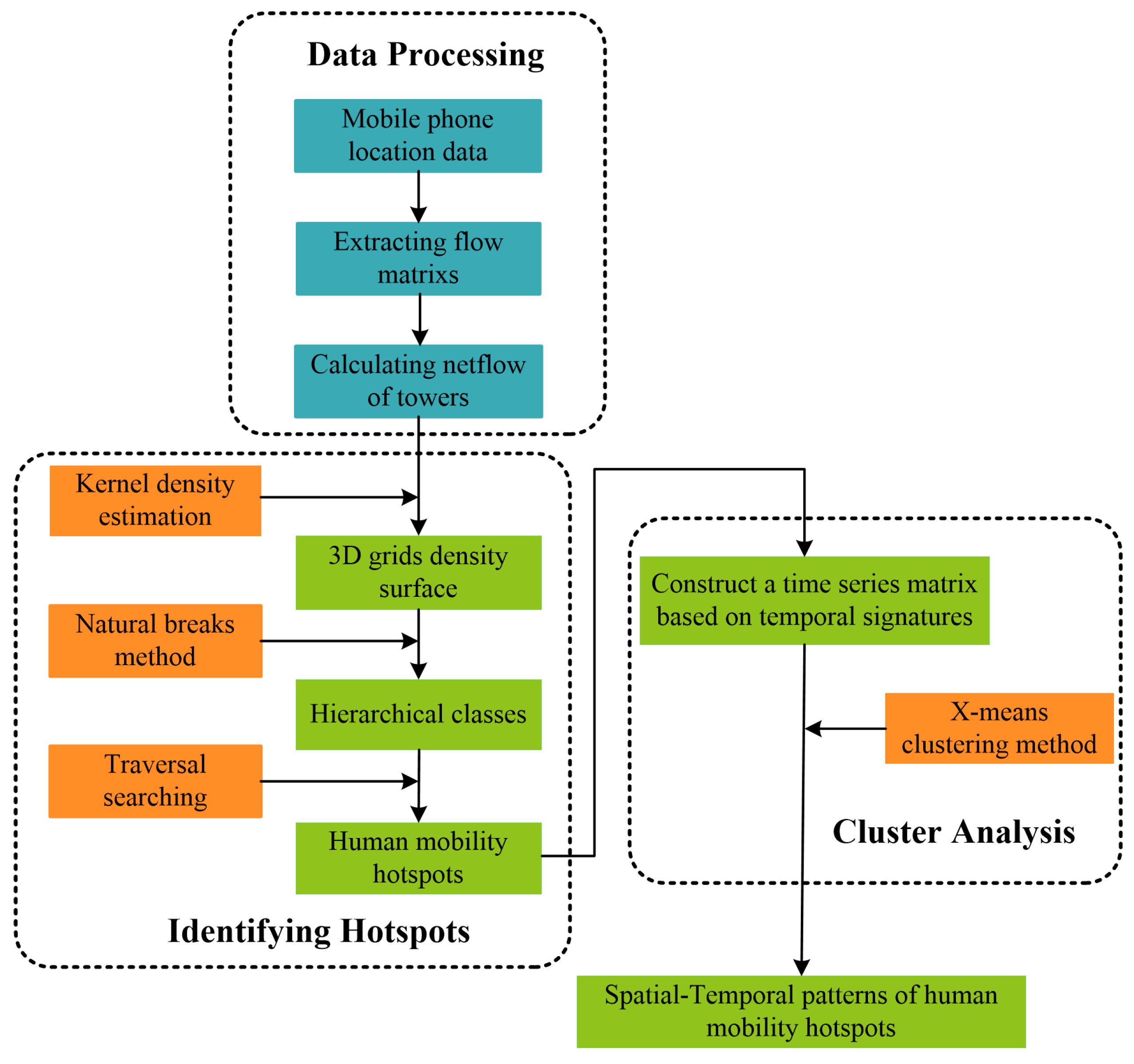
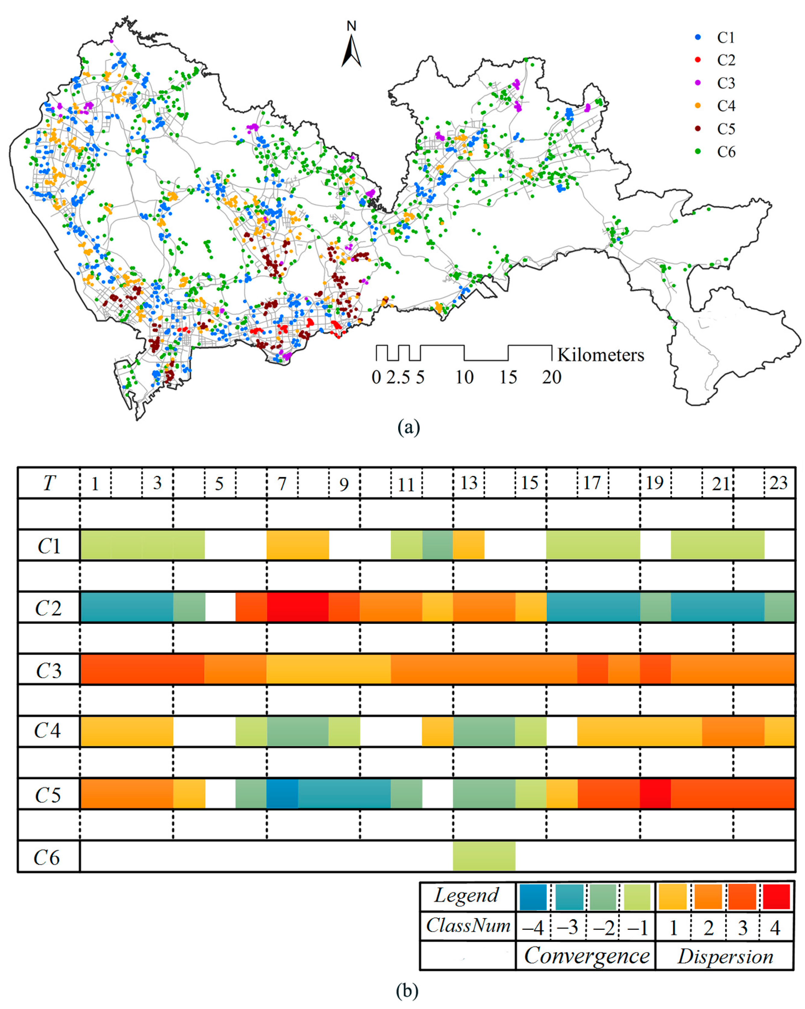
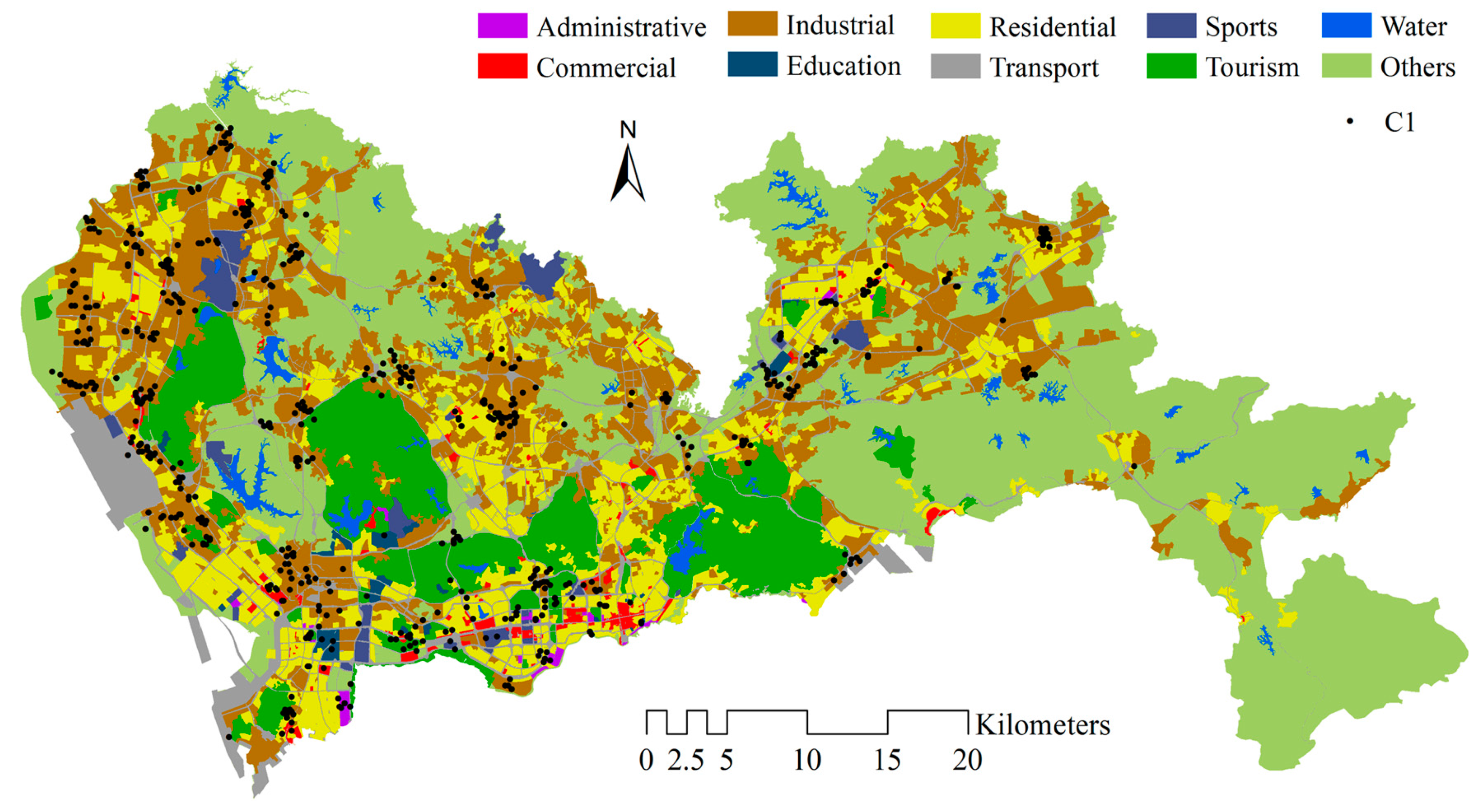
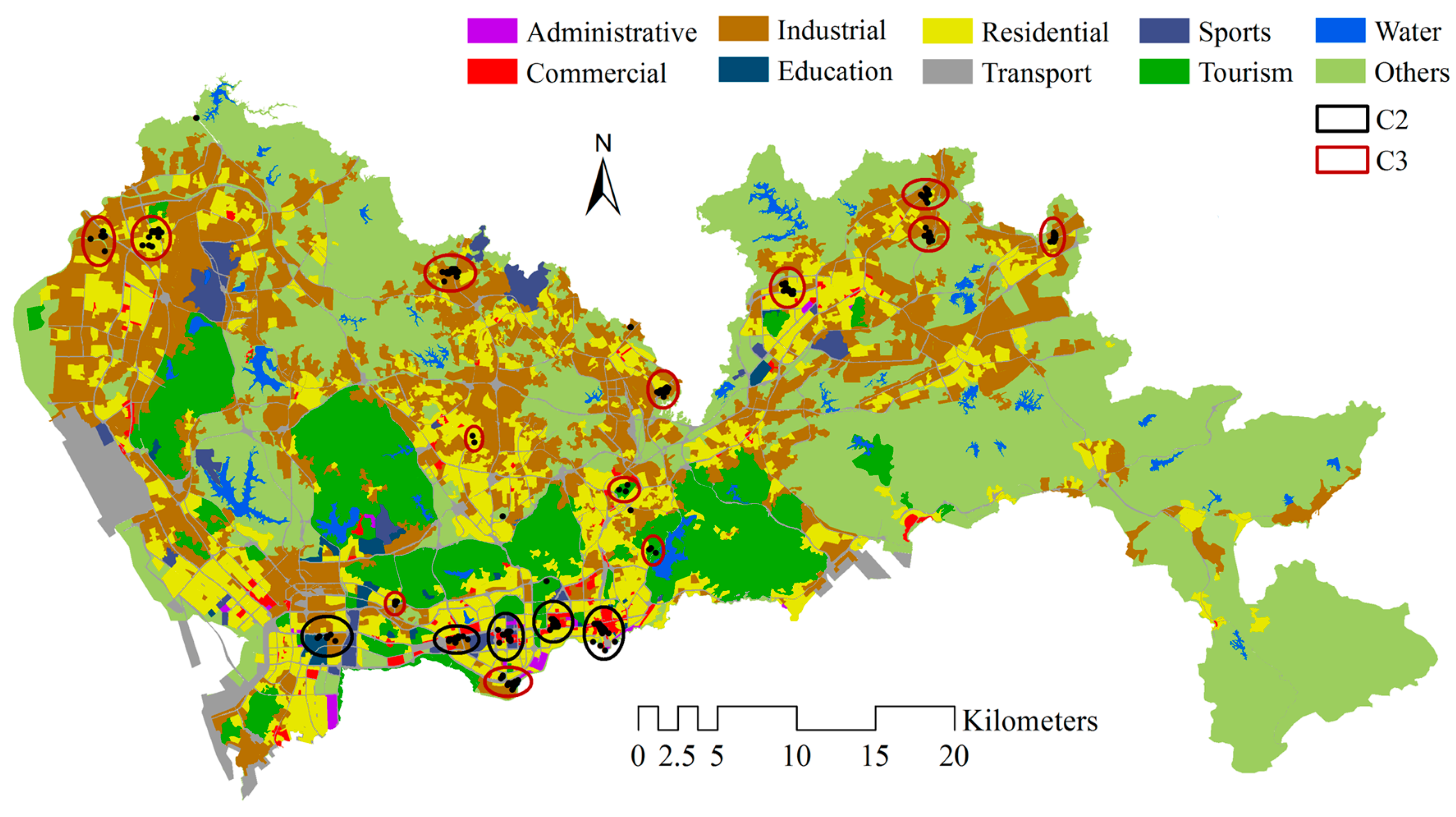
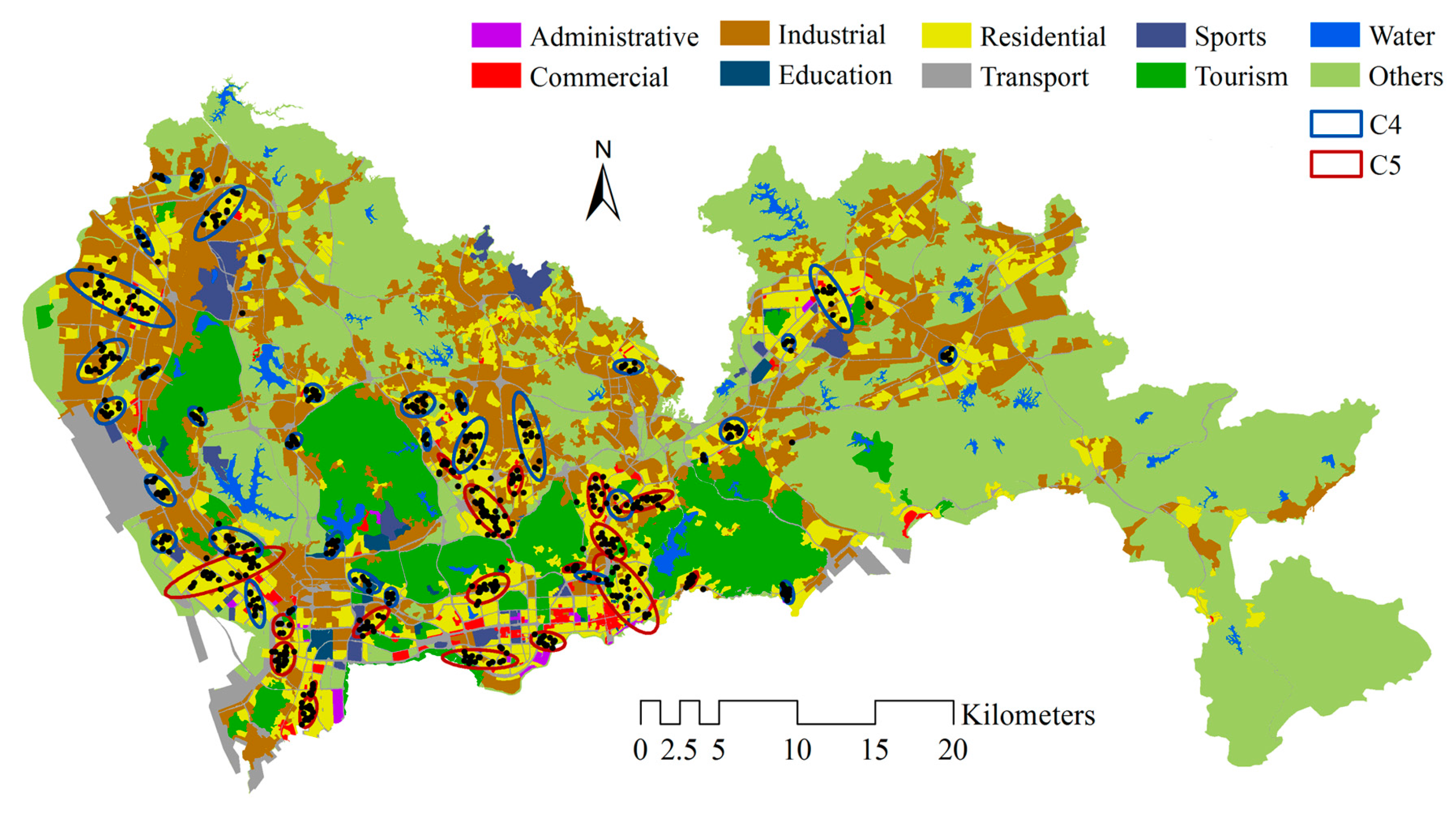
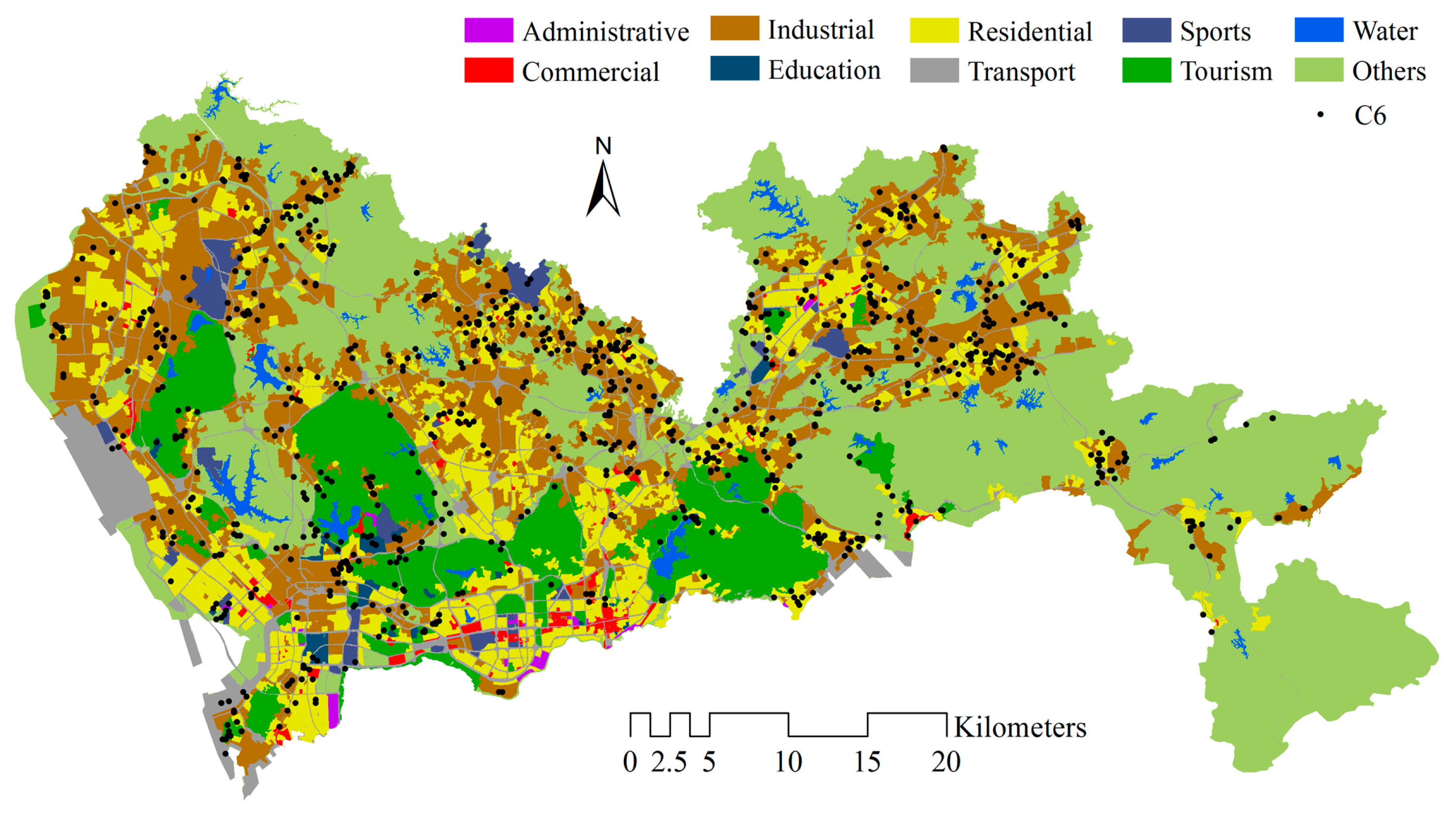
Understanding human mobility patterns provides us with knowledge about human mobility in an urban context, which plays a critical role in urban planning, traffic management and the spread of disease. Recently, the availability of large-scale human-sensing datasets enables us to analyze human mobility patterns and the relationships between humans and their living environments on an unprecedented spatial and temporal scale to improve decision-making regarding the quality of life of citizens. This study aims to characterize the urban spatial-temporal dynamic from the perspective of human mobility hotspots by using mobile phone location data. We propose a workflow to identify human convergent and dispersive hotspots that represent the status of human mobility in local areas and group these hotspots into different classes according to clustering their temporal signatures. To illustrate our proposed approach, a case study of Shenzhen, China, has been conducted. Six typical spatial-temporal patterns in the city are identified and discussed by combining the spatial distribution of these identified patterns with urban functional areas. The findings enable us to understand the human dynamics in a different area of the city, which can serve as a reference for urban planning and traffic management.
Keywords: kernel density estimation; mobile phone location data; human mobility; spatial-temporal patterns kernel density estimation; mobile phone location data; human mobility; spatial-temporal patterns