Article

A Planning Support Tool for Layout Integral Optimization of Urban Blue–Green Infrastructure


Department of Landscape Architecture, Southeast University, Sipailou 2#, Nanjing 210096, Jiangsu, China
*
Author to whom correspondence should be addressed.
Sustainability 2020, 12(4), 1613; https://doi.org/10.3390/su12041613
Submission received: 9 January 2020 / Revised: 17 February 2020 / Accepted: 18 February 2020 / Published: 21 February 2020

Abstract

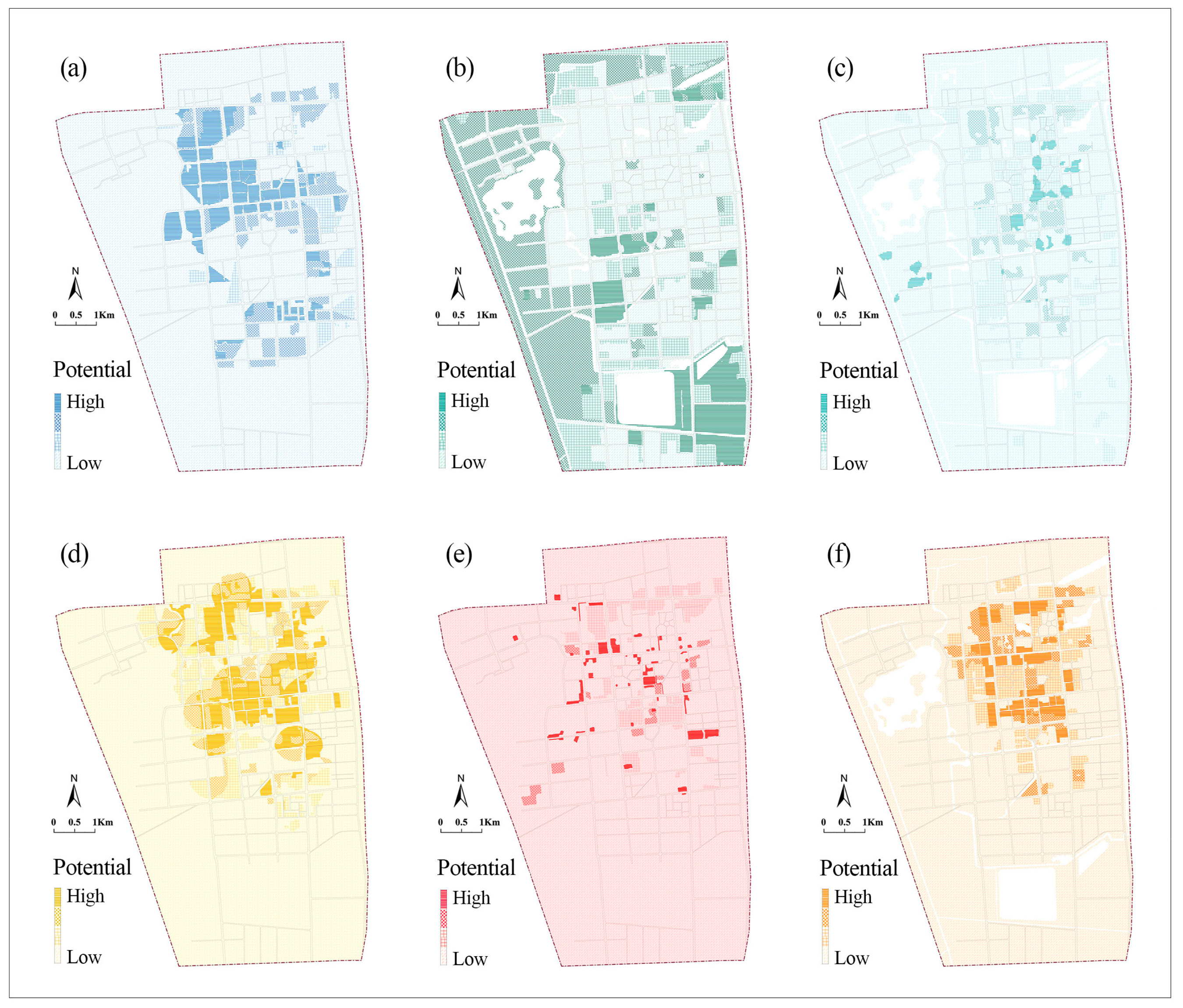
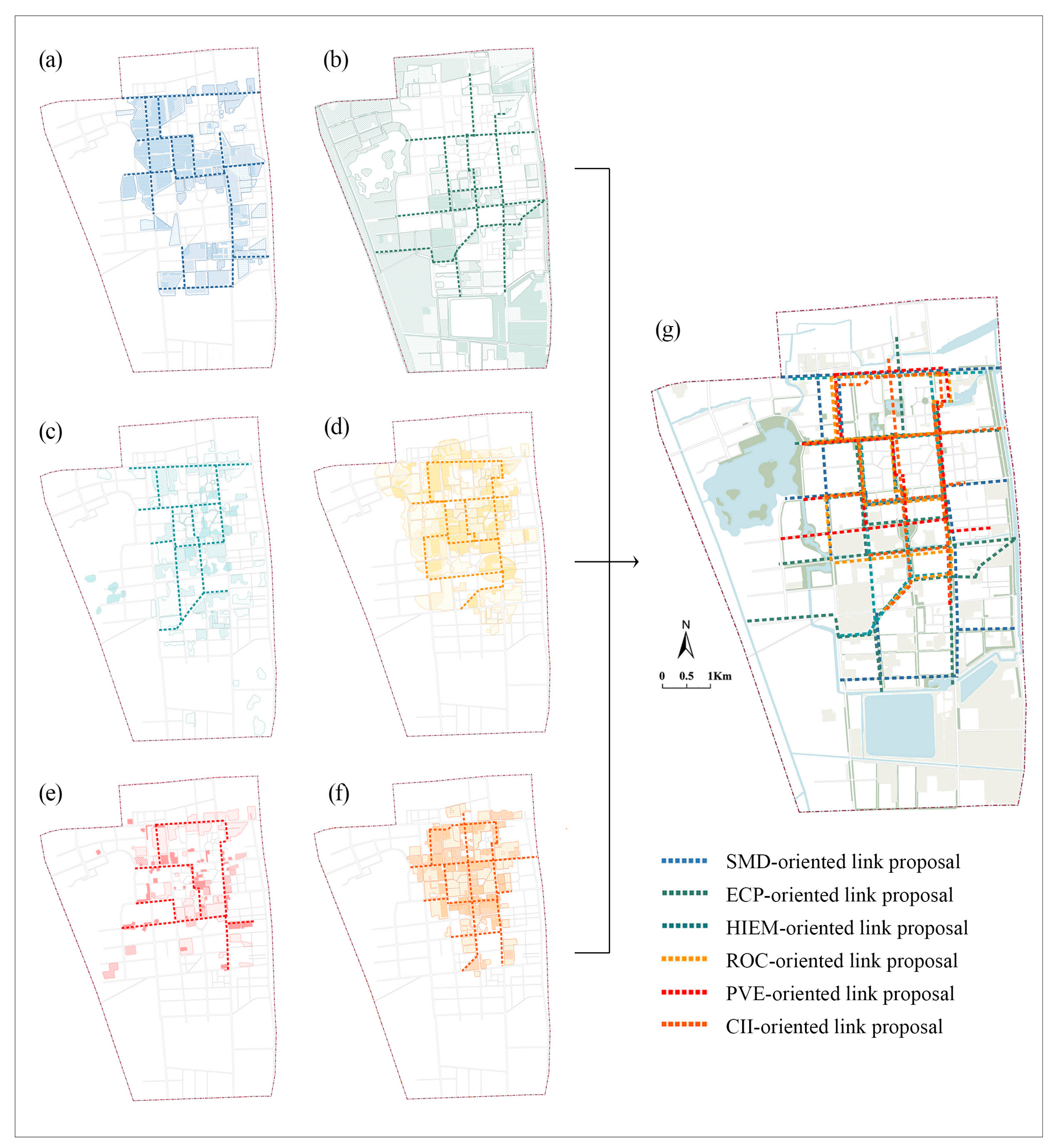
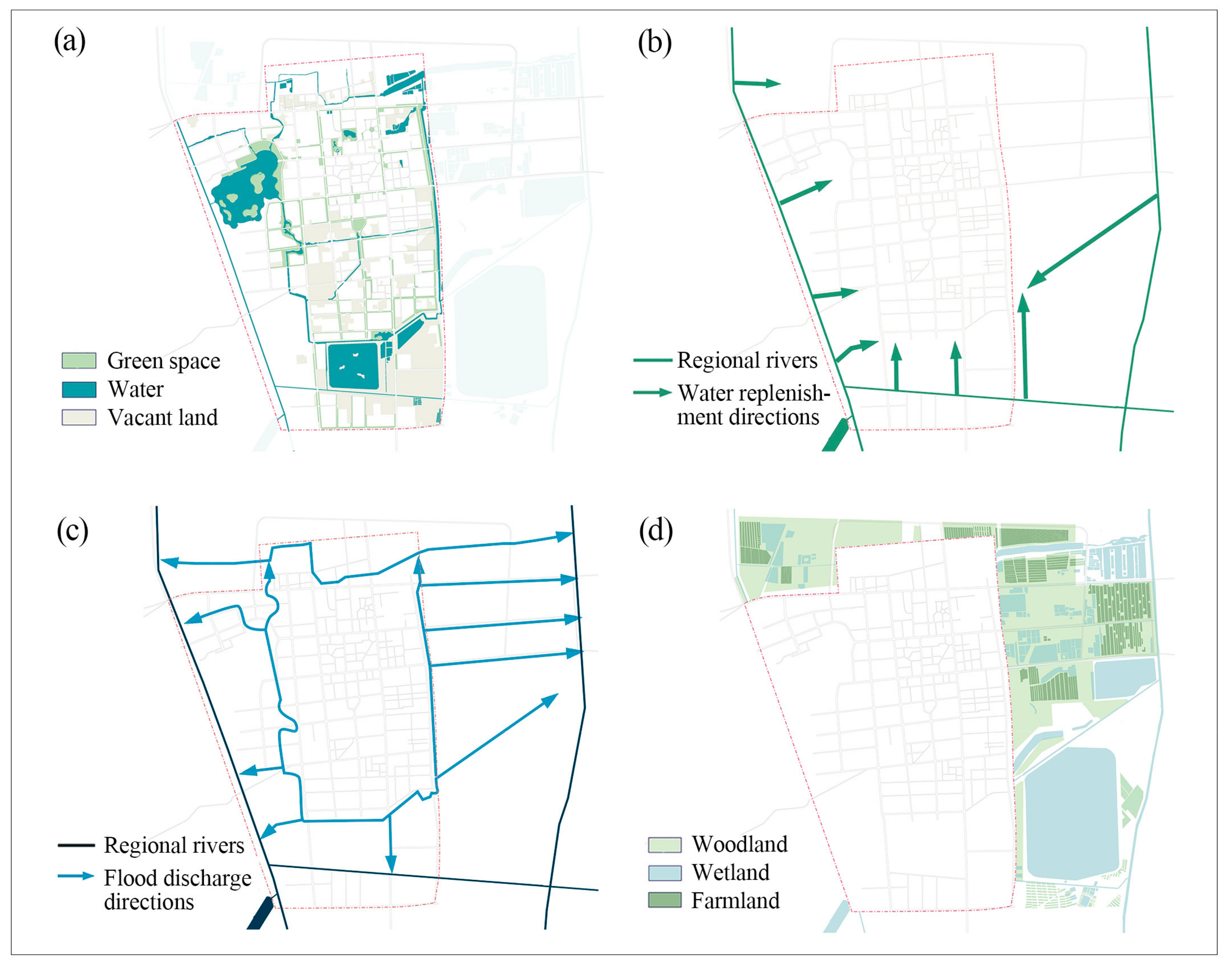
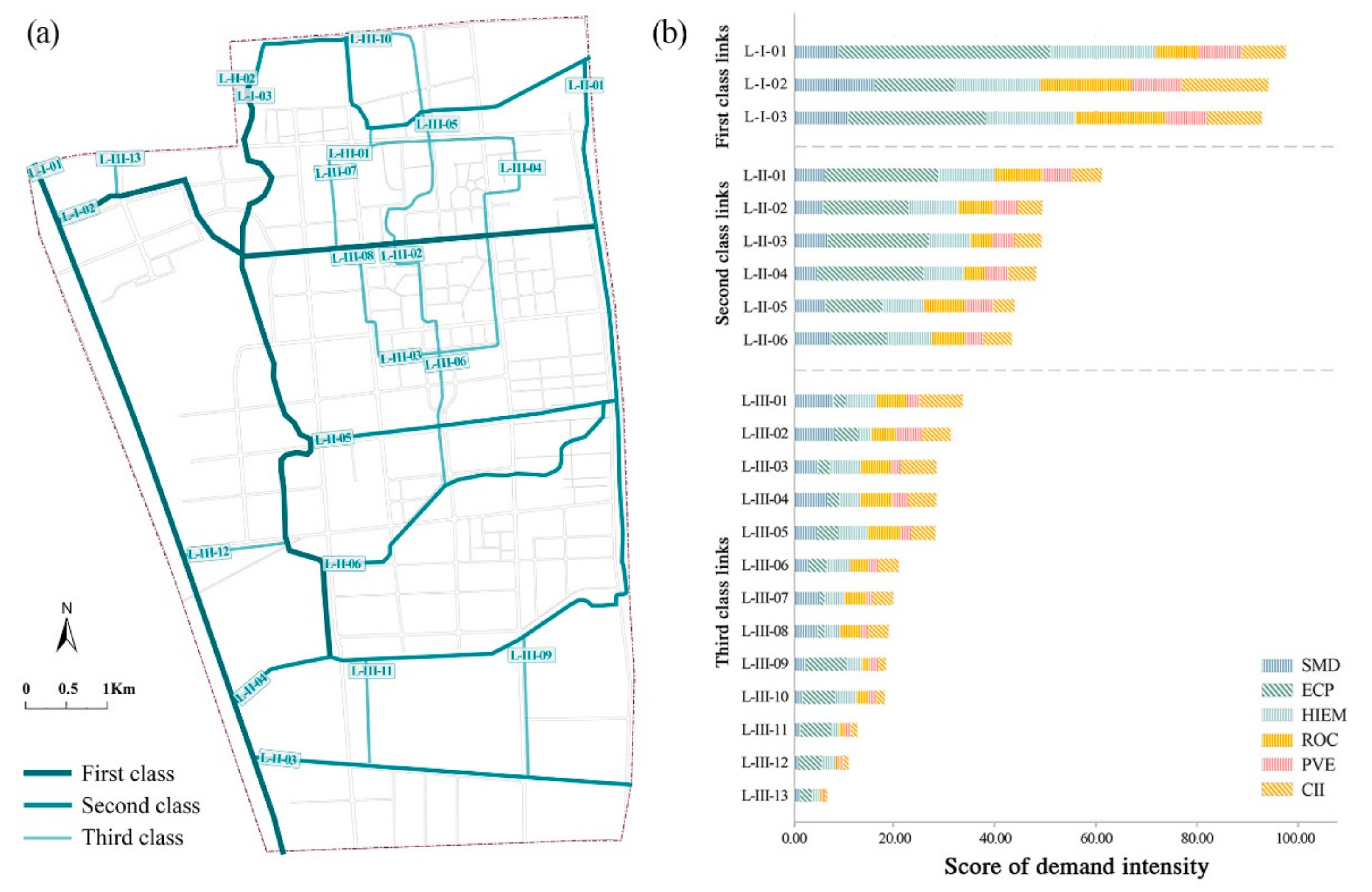
Urban blue infrastructure (UBI) and urban green infrastructure (UGI) can be seen as an integrated system in which services and spatial layouts complement each other. However, given its complexity, it is difficult to integrate and optimize the layout of urban blue and green infrastructure (UBGI) in the built environment. This study develops a planning support tool for the layout integral optimization (PSTLIO) of UBGI. Using Hekou City in China as a case study, service demands and the supply of suitable land for UBGI development are assessed and mapped on geographic information system (GIS). The potential areas for UBGI development are delineated after mapping assessments of service demand and land supply and suitability. Following discussions on the exact means for PSTLIO to support the layout optimization of UBGI, a PSTLIO-based solution is developed to structure the UBGI link network and hub system, define the functions and service patterns of single UBGI components, and provide guidance for determining the scale of UBGI components. The results show that PSTLIO is able to provide a quantifiable base for decision-making in UBGI layout optimization.
Keywords: urban blue infrastructure; urban green Infrastructure; urban planning; suitability; spatial layout; built environment urban blue infrastructure; urban green Infrastructure; urban planning; suitability; spatial layout; built environment