Article

A Neural Network-Based Fusion Approach for Improvement of SAR Interferometry-Based Digital Elevation Models in Plain and Hilly Regions of India

Photogrammetry and Remote Sensing Department, Indian Institute of Remote Sensing (IIRS), Indian Space Research Organization, Dehradun 248001, India
*
Author to whom correspondence should be addressed.
AI 2022, 3(4), 820-843; https://doi.org/10.3390/ai3040050
Submission received: 16 July 2022 / Revised: 26 August 2022 / Accepted: 23 September 2022 / Published: 9 October 2022

Abstract

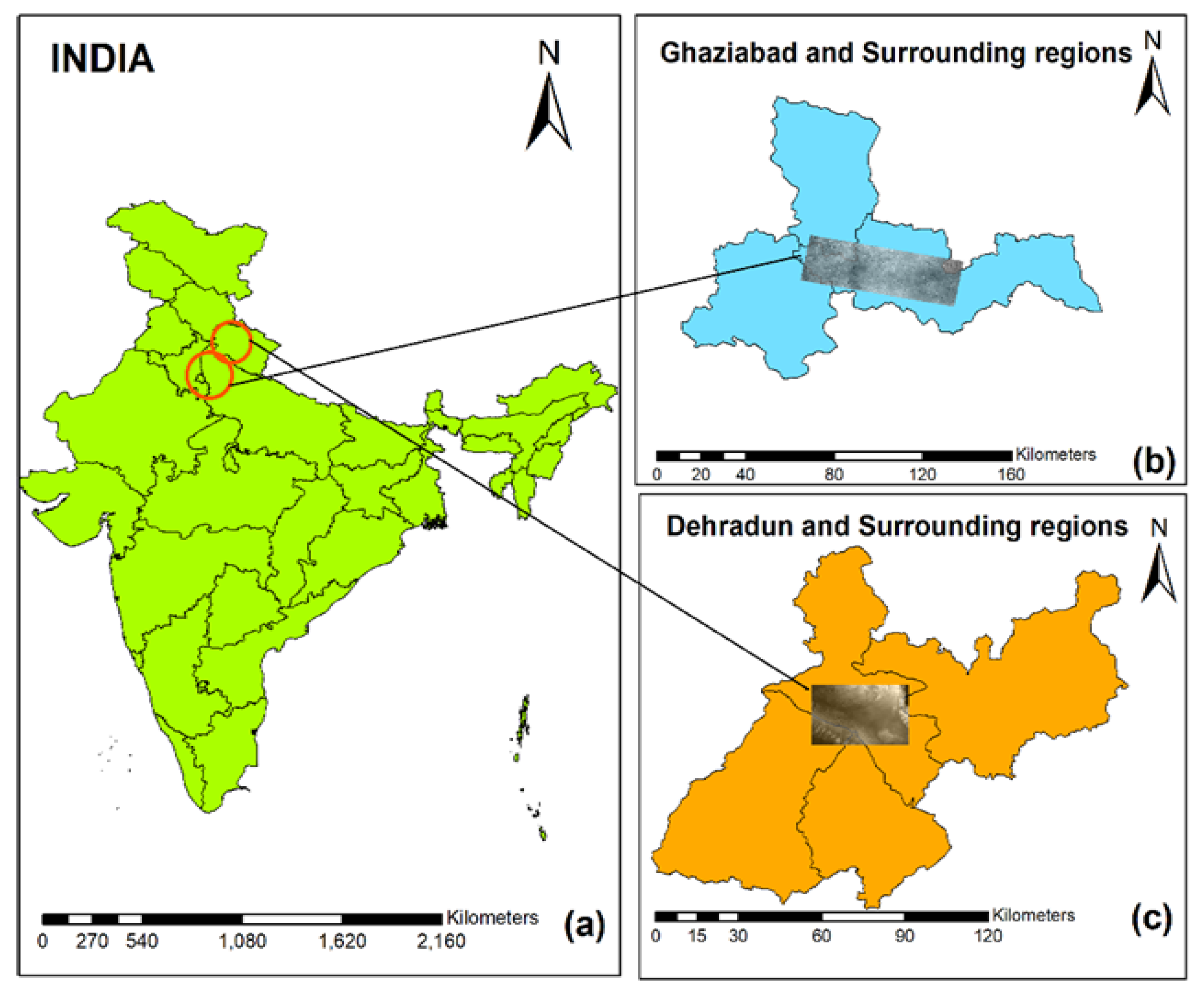
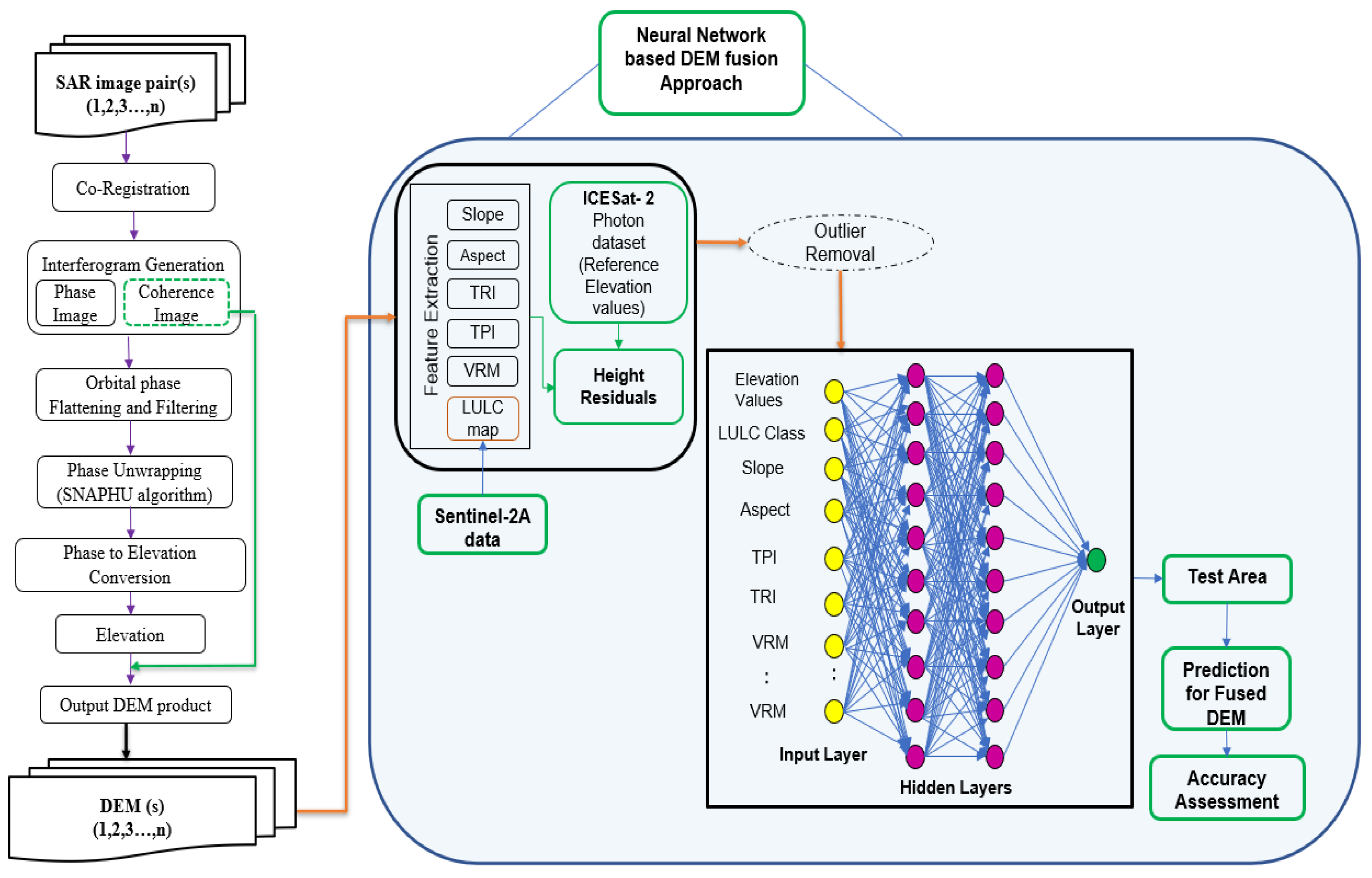
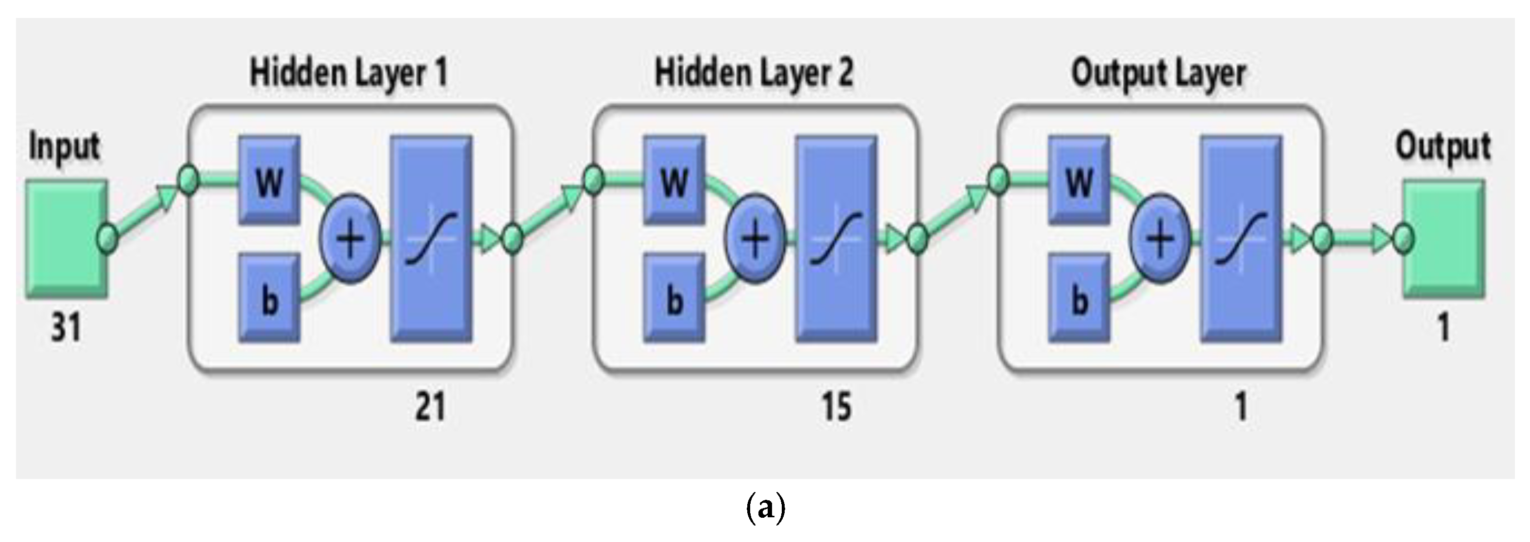
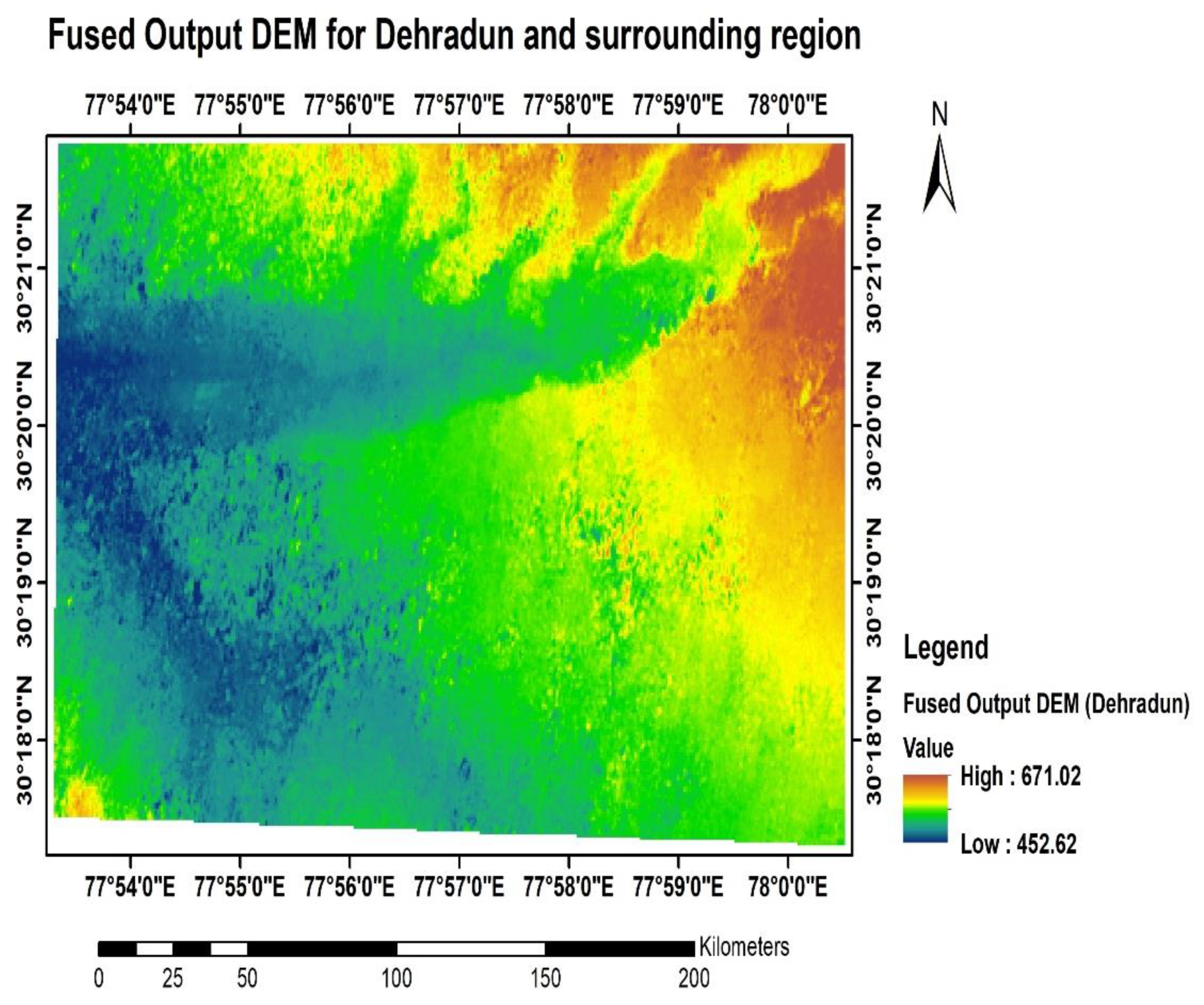
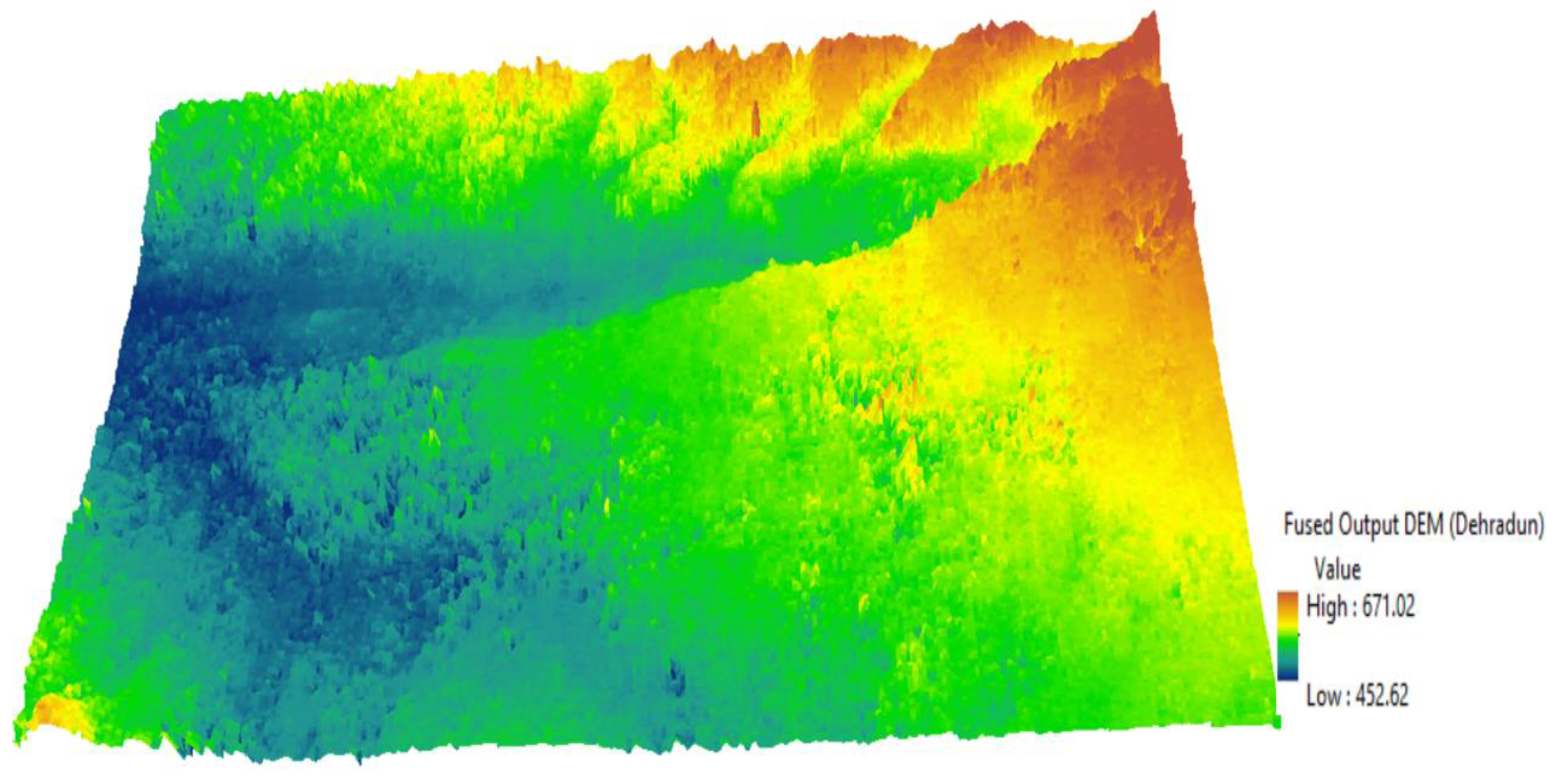
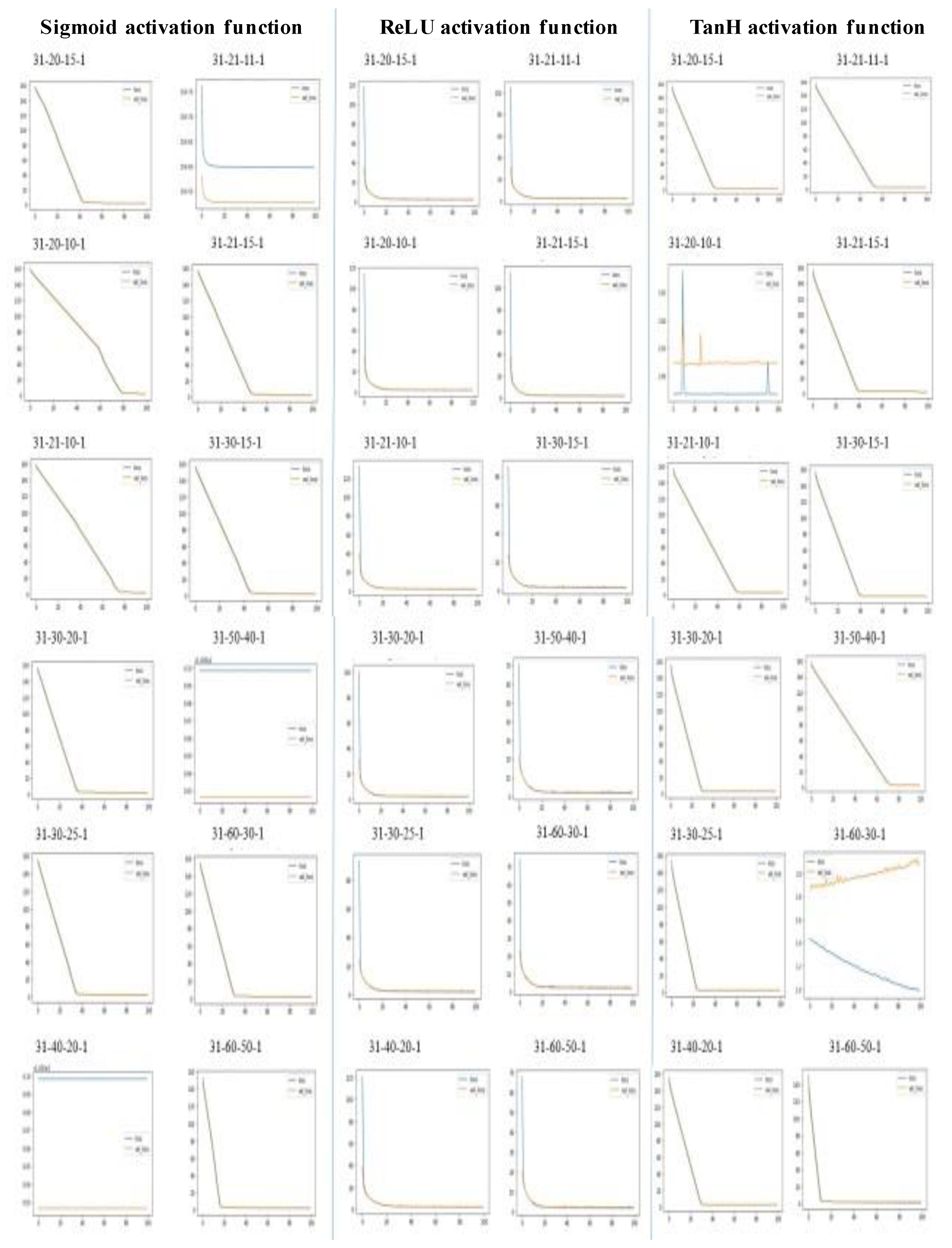
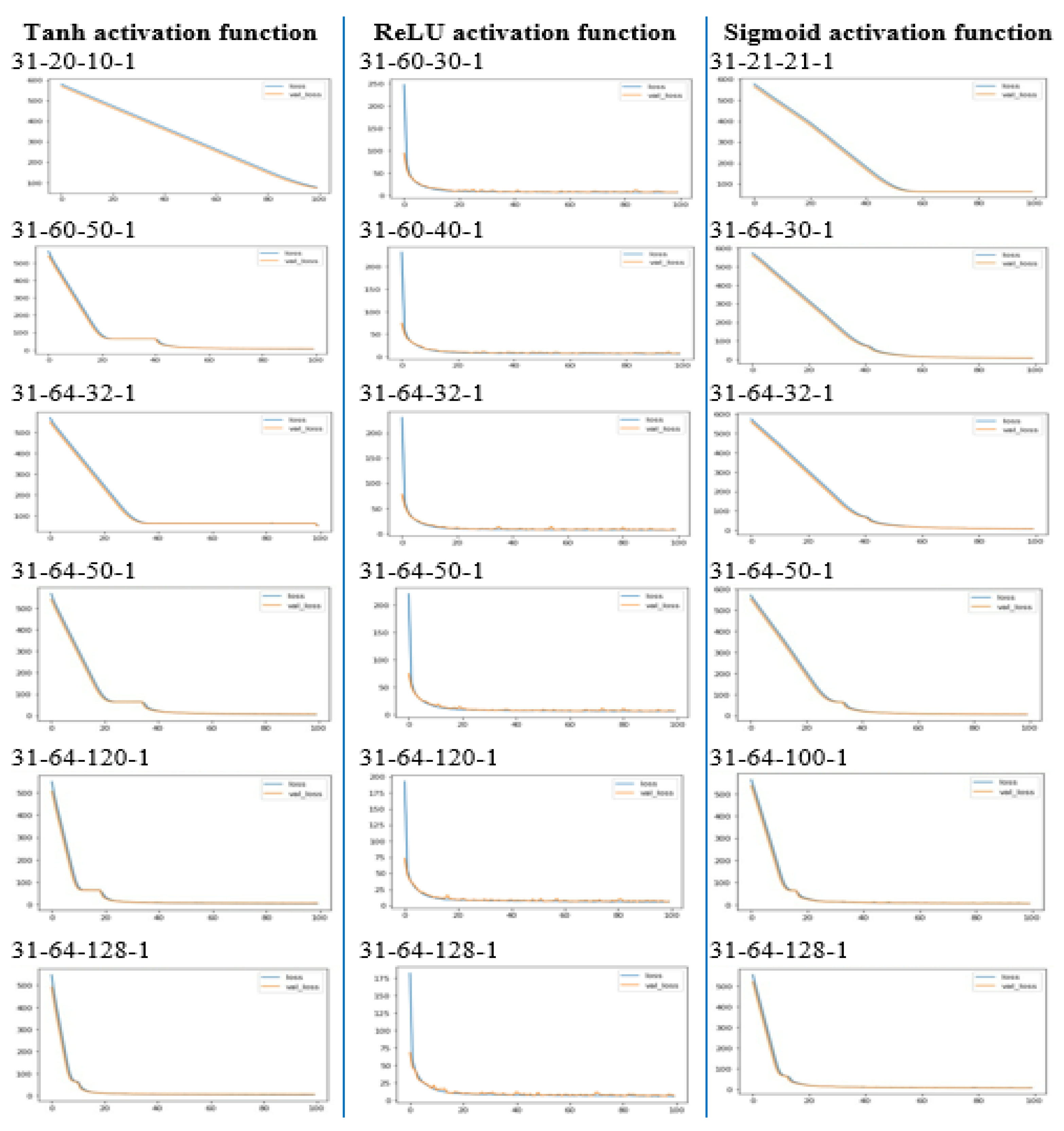
Interferometry Synthetic Aperture Radar (InSAR) is an advanced remote sensing technique for studying the earth’s surface topography and deformations; it is used to generate high-quality Digital Elevation Models (DEMs). DEMs are a crucial and primary input to various topographical quantification and modelling applications. The quality of input DEMs can be further improved using fusion methods, which combine multi-sensor or multi-temporal datasets intelligently to retrieve the best information from the input data. This research study is based on developing a Neural Network-based fusion approach for improving InSAR-based DEMs in plain and hilly terrain parts of India. The study areas comprise relatively plain terrain from Ghaziabad and hilly terrain of Dehradun and their surrounding regions. The training dataset consists of DEM elevations and derived topographic attributes like slope, aspect, topographic position index (TPI), terrain ruggedness index (TRI), and vector roughness measure (VRM) in different land use land cover classes of the study areas. The spaceborne altimetry ICESat-2 ATL08 photon data are used as a reference elevation. A Feed Forward Neural Network with a backpropagation algorithm is trained based on the prepared training samples. The trained model produces fused DEMs by learning the relationship between the input and target samples; this is used to predict elevations for the test areas. The accuracy of results from the models is assessed with TanDEM-X 90 m DEM. The fused DEMs show significant improvement in terms of RMSE (Root Mean Square Error) over the input DEMs with an improvement factor of 94.65% in plain areas and 82.62% in hilly areas. The study concludes that the ANN with its universal approximation property can significantly improve the fused DEM.
Keywords: SAR interferometry (InSAR); digital elevation models (DEM); neural networks; DEM fusion; ICESat-2 spaceborne altimetry SAR interferometry (InSAR); digital elevation models (DEM); neural networks; DEM fusion; ICESat-2 spaceborne altimetry