30 March 2023
Remote Sensing Webinar | Advances in Disaster Science, 5 April 2023

You are accessing a machine-readable page. In order to be human-readable, please install an RSS reader.
All articles published by MDPI are made immediately available worldwide under an open access license. No special permission is required to reuse all or part of the article published by MDPI, including figures and tables. For articles published under an open access Creative Common CC BY license, any part of the article may be reused without permission provided that the original article is clearly cited. For more information, please refer to https://www.mdpi.com/openaccess.
Feature papers represent the most advanced research with significant potential for high impact in the field. A Feature Paper should be a substantial original Article that involves several techniques or approaches, provides an outlook for future research directions and describes possible research applications.
Feature papers are submitted upon individual invitation or recommendation by the scientific editors and must receive positive feedback from the reviewers.
Editor’s Choice articles are based on recommendations by the scientific editors of MDPI journals from around the world. Editors select a small number of articles recently published in the journal that they believe will be particularly interesting to readers, or important in the respective research area. The aim is to provide a snapshot of some of the most exciting work published in the various research areas of the journal.
Original Submission Date Received: .

Date and time: 5 April 2023, 19:00–21:00 EDT/6 April 2023 8:00–10:00 JST
Webinar website: https://www.mdpi.com/journal/remotesensing/events/16005
Webinar ID: 822 7632 9470
Webinar secretariat: remotesensing@mdpi.com
Keywords: geohazards; flooding; tsunami; Earth observation; machine learning; building damage mapping
Register for free: https://us02web.zoom.us/webinar/register/4116786725558/WN_Q_eR5ORFQEioyKi-HfEkSw
Relevant Special Issue: “Technological Advancements in Disaster Damage Assessment Using Earth Observation, Machine Learning, and Numerical Simulation”
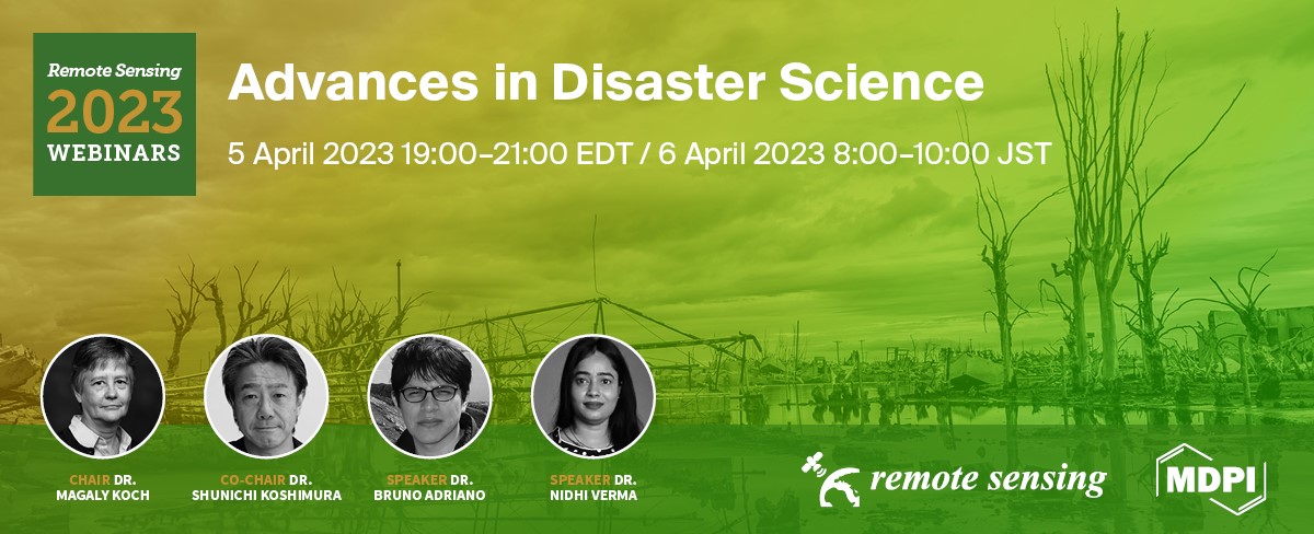
Disaster science is a research discipline that plays a critical role in understanding the processes underlying geo-hazards, evaluating, modeling, and forecasting hazard risks, and designing, as well as implementing disaster risk management policies and programs. This webinar will provide a high-level overview of recent advances in disaster sciences, including new geospatial methodologies and applications. The speakers will discuss common challenges and opportunities for rapid mapping and assessment of hazard risks in a range of applications. The webinar Chair and Co-Chair will highlight the key achievements of this fast-developing discipline and introduce the speakers, who will present case studies to illustrate the use of Earth observation as well as machine learning techniques in disaster science. The webinar will be conducted in English.
Chair:
|
|
Dr. Magaly Koch Boston University, Center for Remote Sensing and Department of Earth and Environment, Boston, USA |
Co-Chair:
|
|
Dr. Shunichi Koshimura International Research Institute of Disaster Science, Tohoku University, Sendai, Japan |
Speakers:
|
|
Dr. Bruno Adriano International Research Institute of Disaster Science, Tohoku University, Sendai, Japan |
|
|
Dr. Nidhi Verma Boston University, Center for Remote Sensing, Boston, USA |
We are looking forward to your participation in our event.
Remote Sensing Editorial Office
