

Water, Volume 9, Issue 4 (April 2017) – 69 articles
Cover Story (view full-size image):
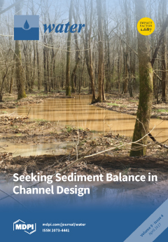
Analytical channel design tools have not advanced appreciably in the last decades, and continue to produce designs based upon a single representative discharge that may not lead to overall sediment continuity. It is beneficial for designers to know when a simplified design may be problematic and to efficiently produce alternative designs. We investigate eighteen sand-bed rivers in a comparison of designs based on the Capacity-Supply Ratio approach and five single discharge metrics...View Full-Text.
- Issues are regarded as officially published after their release is announced to the table of contents alert mailing list.
- You may sign up for e-mail alerts to receive table of contents of newly released issues.
- PDF is the official format for papers published in both, html and pdf forms. To view the papers in pdf format, click on the "PDF Full-text" link, and use the free Adobe Reader to open them.
Previous Issue
Next Issue